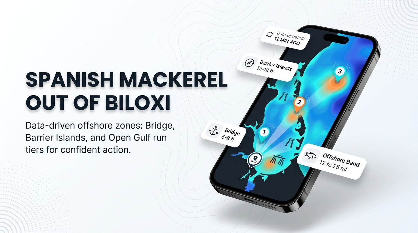
Spanish mackerel fishing out of Biloxi runs on three tiers: the Biloxi Bay Bridge pilings, the barrier islands, and the water 12 to 25 miles out. Launches and passes are on that port page. This page covers what happens once you are out there: when Spanish mackerel are here, where boats run, what structure holds them, how they are fished locally, and who fishes for them from this port. For the species and the wider Gulf, follow the links.
When Spanish mackerel are around Biloxi
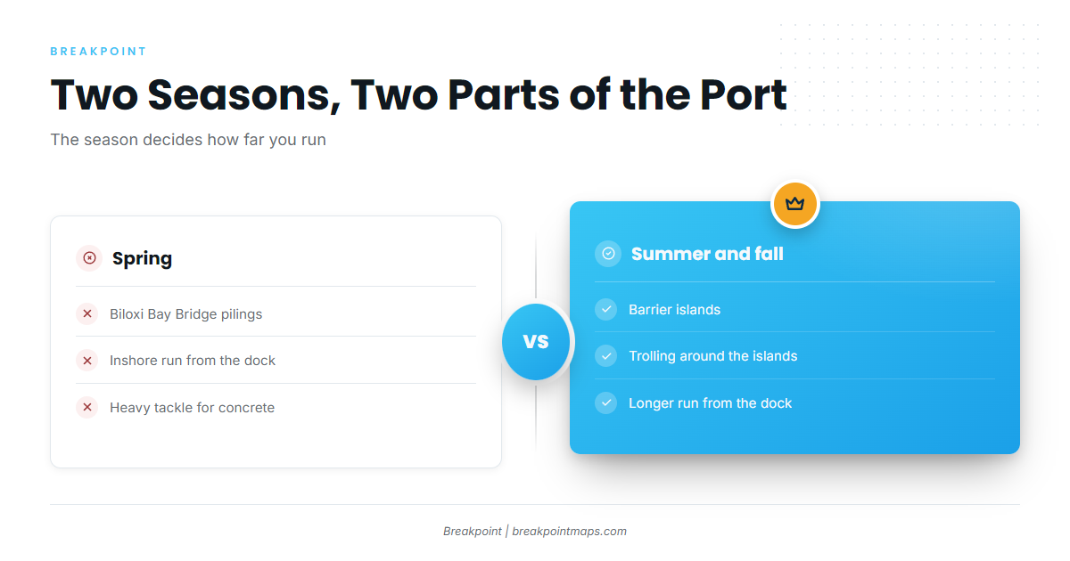
Spanish mackerel use two different parts of the port at two different times of year. For regional timing across the basin, see the Gulf-wide picture (see also the Gulf of Mexico offshore fishing guide).
| Window | Where | Source |
|---|---|---|
| Spring | Biloxi Bay Bridge pilings | FishingBooker |
| Summer and fall | Barrier islands | Fish-On Charters |
Spring at the Biloxi Bay Bridge
According to FishingBooker’s Biloxi fishing rundown, spring brings Spanish mackerel to the Biloxi Bay Bridge. The bridge has a lot of concrete structure, which affects how you fish it. The tackle note is in the methods section below.
Summer and fall at the barrier islands
Per Fish-On Charters, summer and fall put the fish around the barrier islands. The season determines how far you run: spring keeps you at the bridge, and summer and fall take you out to the islands.
Where boats run: the bridge, the islands, 12 to 25 miles out
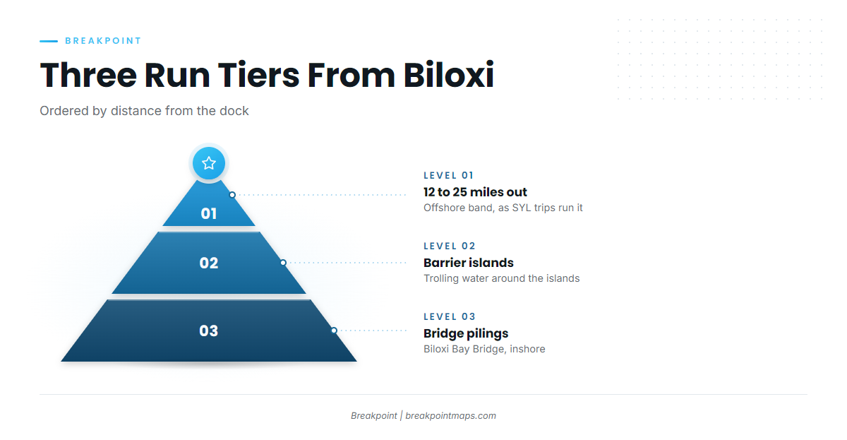
Spanish mackerel fishing out of Biloxi covers three distance bands. In order from the dock:
- Biloxi Bay Bridge pilings. Inshore, and the spring spot.
- The barrier islands. The summer and fall trolling water.
- 12 to 25 miles out. The offshore band, as SYL’s own trip listings describe it.
Reading offshore conditions
The nearest NOAA buoy is NDBC station 42040, which was re-established about 60 NM south of 42007’s nominal position. It reports wind, wave height, and period for the water beyond the islands. Read those numbers alongside the official marine forecast before you leave the dock.
Grounds and structure that hold them
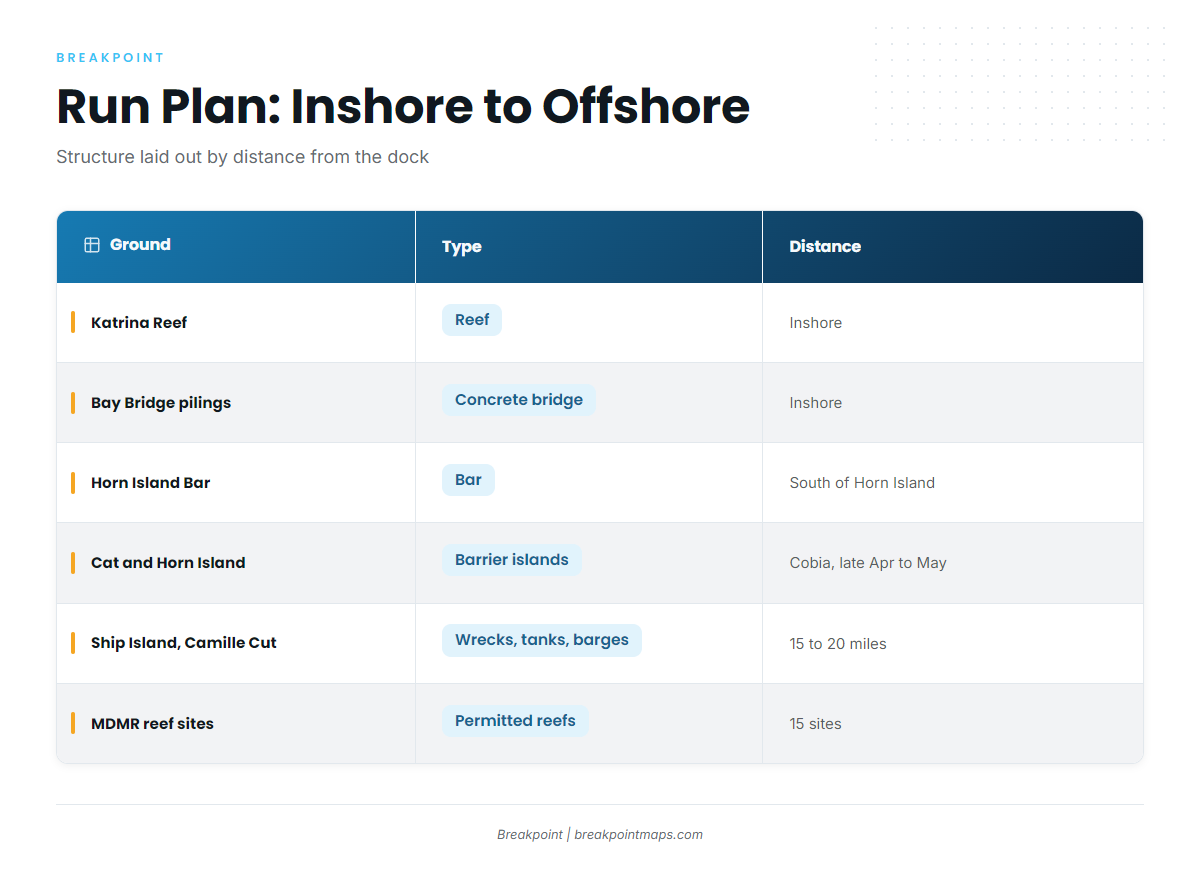
The structure below is listed by distance from the dock, inshore first.
| Ground | Type | Distance or location |
|---|---|---|
| Katrina Reef | Reef | Inshore, Biloxi area |
| Biloxi Bay Bridge pilings | Bridge, concrete | Inshore |
| Horn Island Bar | Bar | South side of Horn Island, a short boat trip from Biloxi |
| Cat Island and Horn Island grounds | Barrier islands | Cobia in late April and early May |
| Ship Island wrecks, Camille Cut tanks and barges | Wrecks, tanks, barges | About 15 to 20 miles offshore |
| MDMR offshore reef sites | Permitted reef sites (Mississippi Gulf Fishing Banks partnership) | 15 sites |
Katrina Reef
Katrina Reef is inshore structure in the Biloxi area and the closest named reef to the dock on this list.
Horn Island Bar
Horn Island Bar sits on the south side of Horn Island, a short boat trip from Biloxi. It is island water, the same ground you troll for Spanish mackerel.
Cat Island and Horn Island
Boats troll these barrier islands in summer and fall. They are also cobia grounds in late April and early May.
Ship Island wrecks and Camille Cut
The wrecks around Ship Island and the Camille Cut tanks and barges sit about 15 to 20 miles offshore, inside the 12 to 25 mile band.
MDMR offshore reef sites
There are 15 permitted sites under the Mississippi Gulf Fishing Banks partnership. Farther out on the map, the Horseshoe rigs and salt domes sit in 300 to 400 feet of water south of the Mississippi River mouth, and the Ram Powell rig sits off Louisiana.
How they are fished locally
Two methods define the port, one for each tier:
- Around the islands: trolling.
- At the bridge: heavy tackle is advised because of the concrete structure.
General tackle for the species is in the species guide linked above.
Who fishes them out of Biloxi
Two local charters list Spanish mackerel:
- Fish-On Charters: Capt. Kenny, 38-foot Bellcraft catamaran, based at Point Cadet Marina, Pier F.
- SYL Charters (Spray Ya Later): Captain C-Bo and his son, 31 to 32-foot Bertram sportfisher, with Spanish mackerel trips in the 12 to 25 mile band.
These boats also fish other species around the islands, such as cobia. For those, see the coastal and offshore gamefish guides.
FAQ: Spanish mackerel out of Biloxi
When is Spanish mackerel season in Biloxi?
Spring at the Biloxi Bay Bridge pilings, according to FishingBooker, and summer and fall around the barrier islands, according to Fish-On Charters. The time of year determines whether you start at the bridge or run to the islands.
How far do boats run for Spanish mackerel from Biloxi?
Three tiers: the Biloxi Bay Bridge pilings inshore, the barrier islands, and 12 to 25 miles out on SYL trips.
Which method works around the islands?
Trolling. At the bridge, heavy tackle is advised because of the concrete structure.
Which charters list Spanish mackerel?
Fish-On Charters (Capt. Kenny, 38-foot Bellcraft catamaran, Point Cadet Marina, Pier F) and SYL Charters (Captain C-Bo and his son, 31 to 32-foot Bertram sportfisher).