
About Biloxi
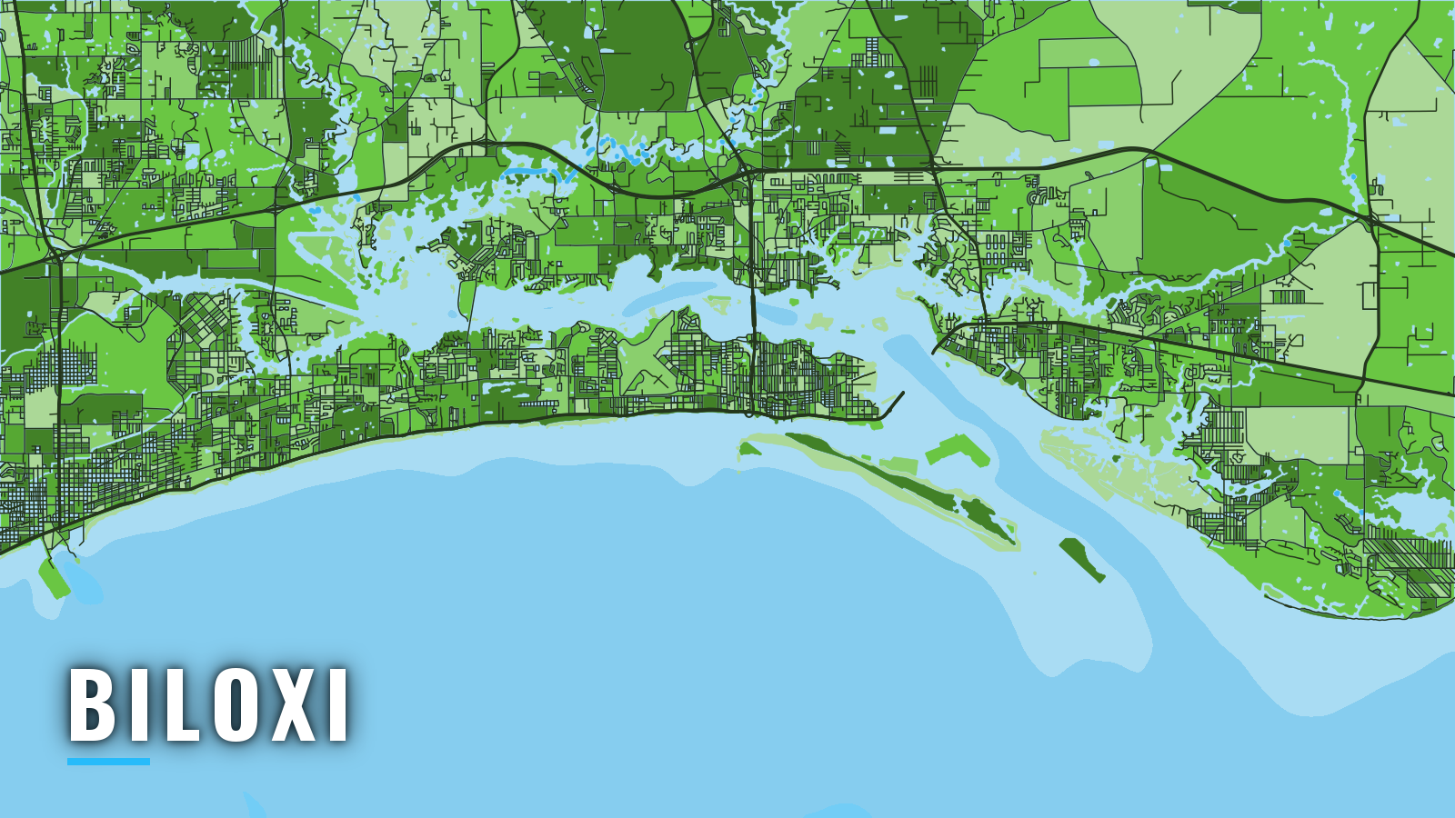
Biloxi sits on a peninsula jutting east into Mississippi Sound, with Biloxi Bay and Back Bay behind it. Boats reach the Gulf of America through the barrier-island passes. Fishing runs year-round, with offshore weighted to spring through autumn and winter leaning to the Sound.
The Gulf fishing guide covers the wider water. Here, red snapper, king mackerel and cobia lead the offshore list, speckled trout and sheepshead fill the Sound, and billfish show up in summer. Red snapper trips need a Tails n’ Scales trip number, and each angler needs an Offshore Landing Permit. Rules for Mississippi waters are on our Mississippi page. Check MDMR recreational catch limits before you fish.
Access and navigation
The city runs Biloxi’s public marinas and ramps:
- Point Cadet Marina – city marina, fuel listed
- Biloxi Small Craft Harbor – city harbor with ramp, fuel listed
- Kuhn Street Boat Launching Ramp – city ramp
- Hiller Park Boat Launch – city ramp
- Forrest Avenue Pier & Boat Launching Ramp – city pier and ramp
- Lee Street Boat Launching Ramp – city ramp
- Popp’s Ferry Causeway Park and Boat Ramp – city park and ramp
- Parkers Creek Boat Launch – city ramp
Getting out
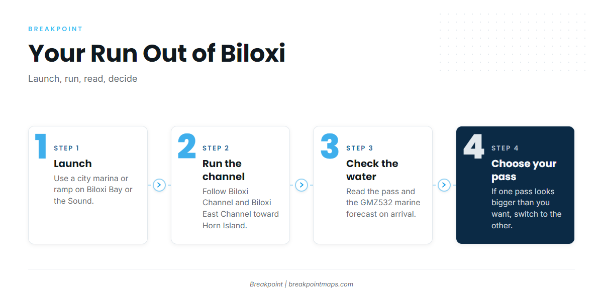
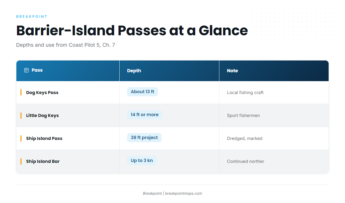
An offshore run starts in the Biloxi Channel and Biloxi East Channel, then crosses Mississippi Sound to a barrier-island pass. Coast Pilot 5, Chapter 7 is the source for the numbers below.
| Pass | Reported depth | Notes |
|---|---|---|
| Dog Keys Pass | About 13 ft over the bar | West end of Horn Island, used mainly by local fishing craft |
| Little Dog Keys Pass | 14 ft or more | About 2.5 miles west of Dog Keys Pass, used by sport fishermen |
| Ship Island Pass | 38 ft federal project depth | Dredged, marked bar channel |
Little Dog Keys Pass is the alternative if Dog Keys Pass looks wrong on arrival.
Current in Ship Island Pass has measured up to 1.5 kn in normal weather. A continued norther might set as much as 3 kn on Ship Island Bar. Northeast to south winds tend to raise the water level and southwest to north winds tend to lower it, which matters on the 13 to 14 ft bars.
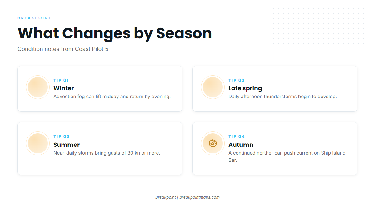
From late spring through early fall, thunderstorms develop almost daily. They tend to form inland and reach the coast in the afternoon or early evening, sometimes with gusts of 30 kn or more. If the air mass is unstable, storms can also build offshore after midnight and peak before sunrise. In winter, advection fog can lift around midday and return before evening. Under a persistent south flow, a fog bank can move between the shore and offshore for several days. The bar can differ from the forecast, so look at the water and read the GMZ532 marine forecast on arrival. If the pass looks bigger than you want, switch to the other one.
Fishing conditions
Offshore grounds out of Biloxi start close to the barrier islands and stretch to the Chandeleur Islands. Katrina Key is an MDMR reef outside Back Bay, south of Deer Island. Chart Contours and OBS SST in Breakpoint show bottom and surface temperature around these grounds. Chart layers are not for navigation.
Winter
Winter leans to the Sound. Trout, black drum, spadefish, flounder, ground mullet, sheepshead and croaker are the targets. Advection fog can lift around midday and return before evening.
Spring
Spanish mackerel, bull redfish, jack crevalle, bonito, tarpon and speckled trout join the list. Red snapper season is set by MDMR and moves with quota. Cobia and king mackerel run too. Late spring brings the start of the daily afternoon thunderstorms.
Summer
The spring list carries on, with small coastal sharks and billfish added. Afternoon storms are near-daily and can bring gusts of 30 kn or more. Storms can also build offshore before dawn.
Autumn
Spanish mackerel, bull redfish, jack crevalle, bonito and tarpon stay in the mix, along with cobia and king mackerel. Early fall still carries the thunderstorm pattern. A continued norther can push current on Ship Island Bar.