When vermilion snapper are around Biloxi
Vermilion snapper are available year-round out of Biloxi; Trustedfish lists them as year-round here. Boats out of Biloxi run to reefs and wrecks, and the grounds below are ordered from nearest to farthest. For the wider coast, see the vermilion snapper fishing in the Gulf of Mexico and the Gulf of Mexico offshore fishing guide.
Biology and general technique for vermilion snapper, the beeliner, are in the species guide. This page covers the water between the dock and the structure.
Where Biloxi boats run
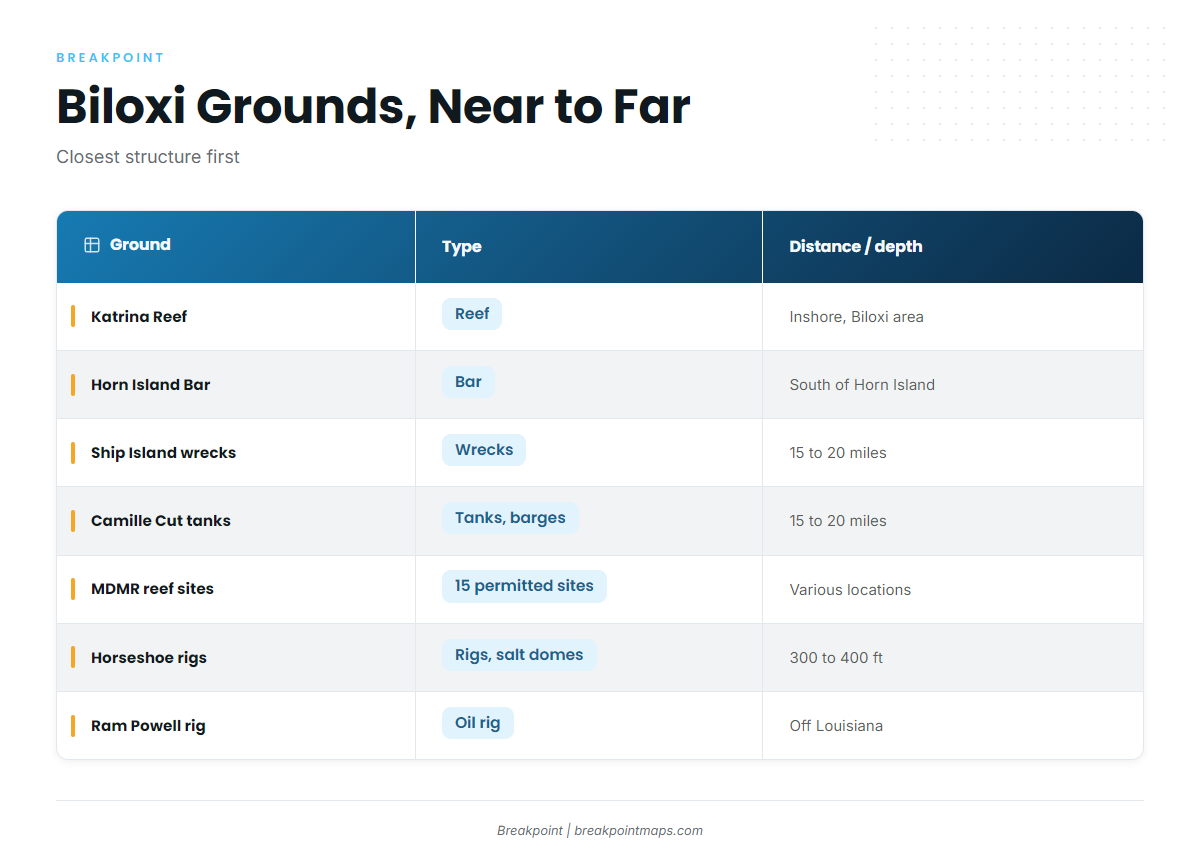
The grounds are listed closest first. For the wider Gulf reef fish picture, see the linked guide.
| Ground | Type | Distance / depth |
|---|---|---|
| Katrina Reef | reef | Inshore, Biloxi area |
| Horn Island Bar | bar | South side of Horn Island, short run |
| Cat Island and Horn Island grounds | barrier islands | |
| Wrecks around Ship Island | wrecks | About 15 to 20 miles |
| Camille Cut tanks and barges | tanks and barges | About 15 to 20 miles |
| MDMR offshore reef sites | 15 permitted sites | |
| Horseshoe rigs and salt domes | rigs, salt domes | 300 to 400 ft, south of the Mississippi River mouth |
| Ram Powell rig | oil rig | Off Louisiana |
| Offshore ledge | ledge |
Inshore: Katrina Reef and Horn Island Bar
Katrina Reef is inshore, in the Biloxi area. Horn Island Bar is on the south side of Horn Island, a short boat trip from Biloxi. They are the closest structure on the list and the shortest runs.
Barrier islands: Cat Island and Horn Island
The fleet fishes the Cat Island and Horn Island grounds for cobia in late April and early May, so expect company on the water during those weeks.
15 to 20 miles: Ship Island wrecks and Camille Cut tanks and barges
The wrecks around Ship Island and the Camille Cut tanks and barges are both about 15 to 20 miles offshore, the middle step between the islands and open water.
MDMR offshore reef sites
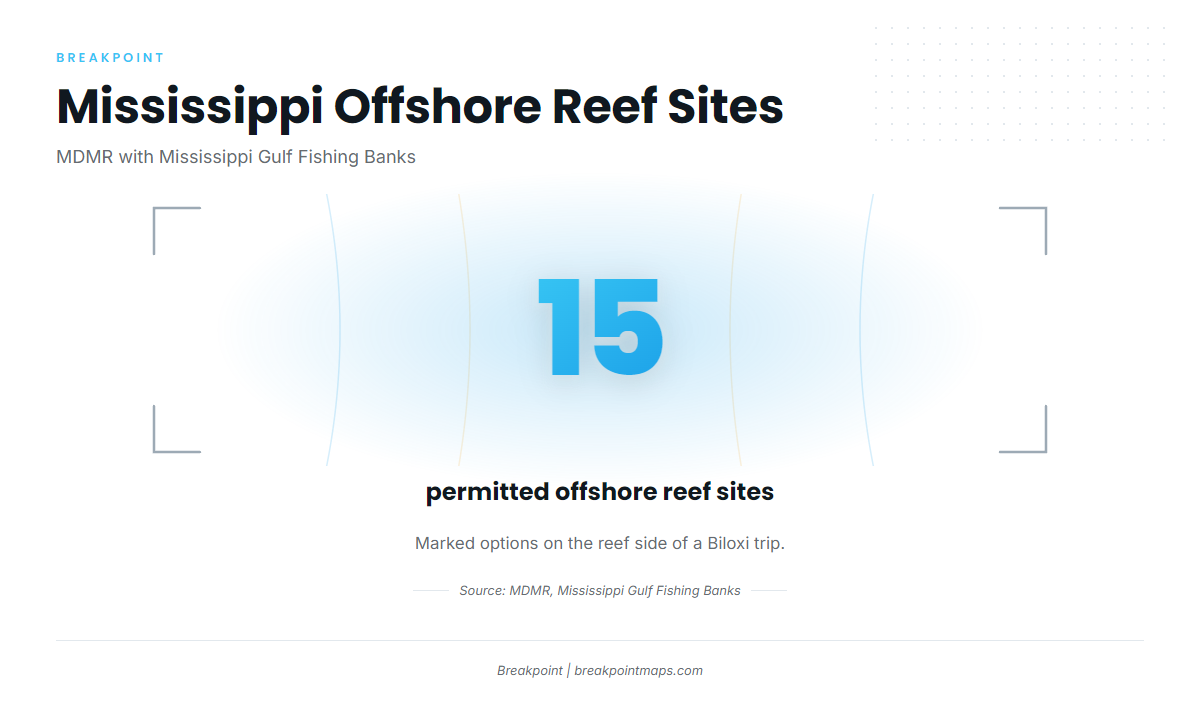
MDMR’s offshore reef program, run with the Mississippi Gulf Fishing Banks, has 15 permitted sites, which gives you 15 marked options on the reef side of a trip.
Deep structure: Horseshoe rigs, Ram Powell and the offshore ledge
The Horseshoe rigs and salt domes are at 300 to 400 ft, south of the Mississippi River mouth. The Ram Powell rig is an oil rig off Louisiana. The offshore ledge is the long-range end of the list.
Chart Contours shows the 300- to 400-foot band on screen. Chart layers are not for navigation; run on official charts.
How it is fished here
The local method is bottom fishing over the structure above. Rigs and technique are covered in the species guide linked at the top of the page.
Who fishes them and reading conditions
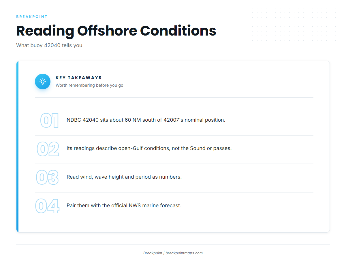
Private boats running their own trips out of Biloxi account for most of this fishery. NDBC station 42040 was re-established about 60 NM south of 42007’s nominal position. Its readings come from about 60 NM offshore, so they describe open-Gulf conditions rather than the Sound or the passes.
Read wind, wave height and period as numbers, and pair them with the official NWS marine forecast. For the Sound and passes, U.S. Coast Pilot 5 Chapter 7 is the official reference.
FAQ about vermilion snapper fishing out of Biloxi
Are vermilion snapper year-round out of Biloxi?
Yes. Trustedfish lists them as year-round here.
How far are the Camille Cut tanks and barges?
About 15 to 20 miles offshore, the same band as the wrecks around Ship Island.
What structure is closest to Biloxi?
Katrina Reef, inshore, and Horn Island Bar, on the south side of Horn Island, a short run.
What buoy covers offshore of Biloxi?
NDBC station 42040, about 60 NM south of 42007’s nominal position. It reads open-Gulf conditions, so pair it with the NWS marine forecast.
Where are the rules?
Mississippi state-water rules are on the Mississippi regulations page. Federal reef fish rules apply farther offshore, including at the Horseshoe and Ram Powell. Check before you fish.