When wahoo are around Biloxi
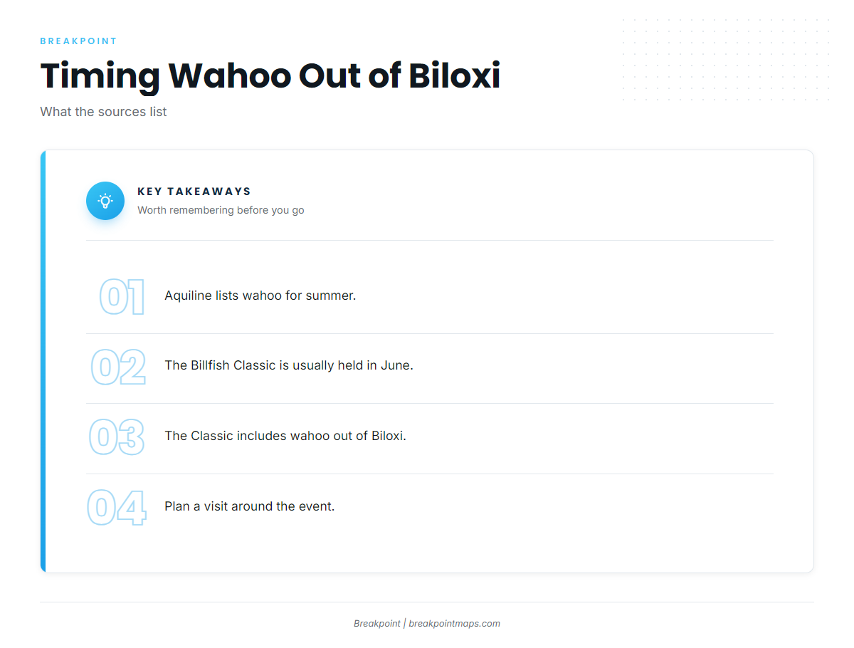
Aquiline lists wahoo for summer. The Mississippi Gulf Coast Billfish Classic, usually held in June, includes wahoo out of Biloxi, so a trip planned around the event falls inside that window. Confirm event details on the Mississippi Gulf Coast Billfish Classic page.
The same summer runs cross water that holds other offshore gamefish.
| Source | What it lists |
|---|---|
| Aquiline | Wahoo for summer |
| Mississippi Gulf Coast Billfish Classic | Usually June |
Where Biloxi boats run for wahoo
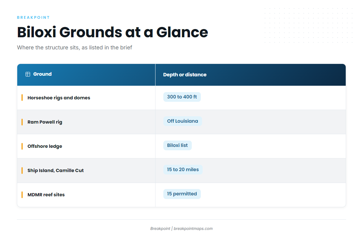
The wahoo grounds named for Biloxi are the deep rigs, salt domes and the offshore ledge. The wrecks and reef sites are shorter runs, and the barrier islands are useful for orientation only. For the wider Gulf picture (see also the Gulf of Mexico fishing guide), the Horseshoe and Ram Powell sit in the same rig and dome fishery that anglers work across the northern Gulf.
Plot the named structure before the run, and don’t rely on chart layers for navigation.
| Ground | What it is | Depth or distance |
|---|---|---|
| Horseshoe rigs and salt domes | Rigs and domes south of the Mississippi River mouth | 300 to 400 ft |
| Ram Powell rig | Oil rig off Louisiana | |
| Offshore ledge | Bottom structure | |
| Ship Island and Camille Cut | Wrecks, tanks and barges | About 15 to 20 miles offshore |
| MDMR offshore reef sites | Mississippi Gulf Fishing Banks partnership | 15 permitted sites |
Inshore and barrier-island structure
Katrina Reef sits inshore, in the Biloxi area. Horn Island Bar lies on the south side of Horn Island, a short boat trip from Biloxi. Both are useful reference points when plotting a route.
The Cat Island and Horn Island grounds are listed for cobia in late April and early May. All of this is nearshore water, so use it for orientation rather than as wahoo water.
Ship Island and Camille Cut wrecks
Wrecks around Ship Island and the Camille Cut tanks and barges lie about 15 to 20 miles offshore. This is the closer structure, a shorter run than the deep wahoo grounds, and it’s the only distance sourced on this page.
MDMR reef sites
The Mississippi Department of Marine Resources (MDMR) lists 15 permitted offshore reef sites in the Mississippi Gulf Fishing Banks partnership. Pull the site list from MDMR when planning a route.
Horseshoe rigs and salt domes
These sit south of the Mississippi River mouth, in 300 to 400 ft of water. This is the deep water the page is about.
Ram Powell rig
Ram Powell is an oil rig off Louisiana and a named run destination from Biloxi. Its Louisiana location affects which regulations apply; see the regulations section below.
Offshore ledge
The Biloxi list names the offshore ledge as offshore structure.
How wahoo are fished out of Biloxi
Trolling is the method here. Biloxi Bluewater mentions a 50-pound wahoo on a trolling trip. For spreads, baits and biology, see the species guide.
Trolling
Trolling covers water, and the named grounds are widely spaced, which suits the method.
Reading the buoy
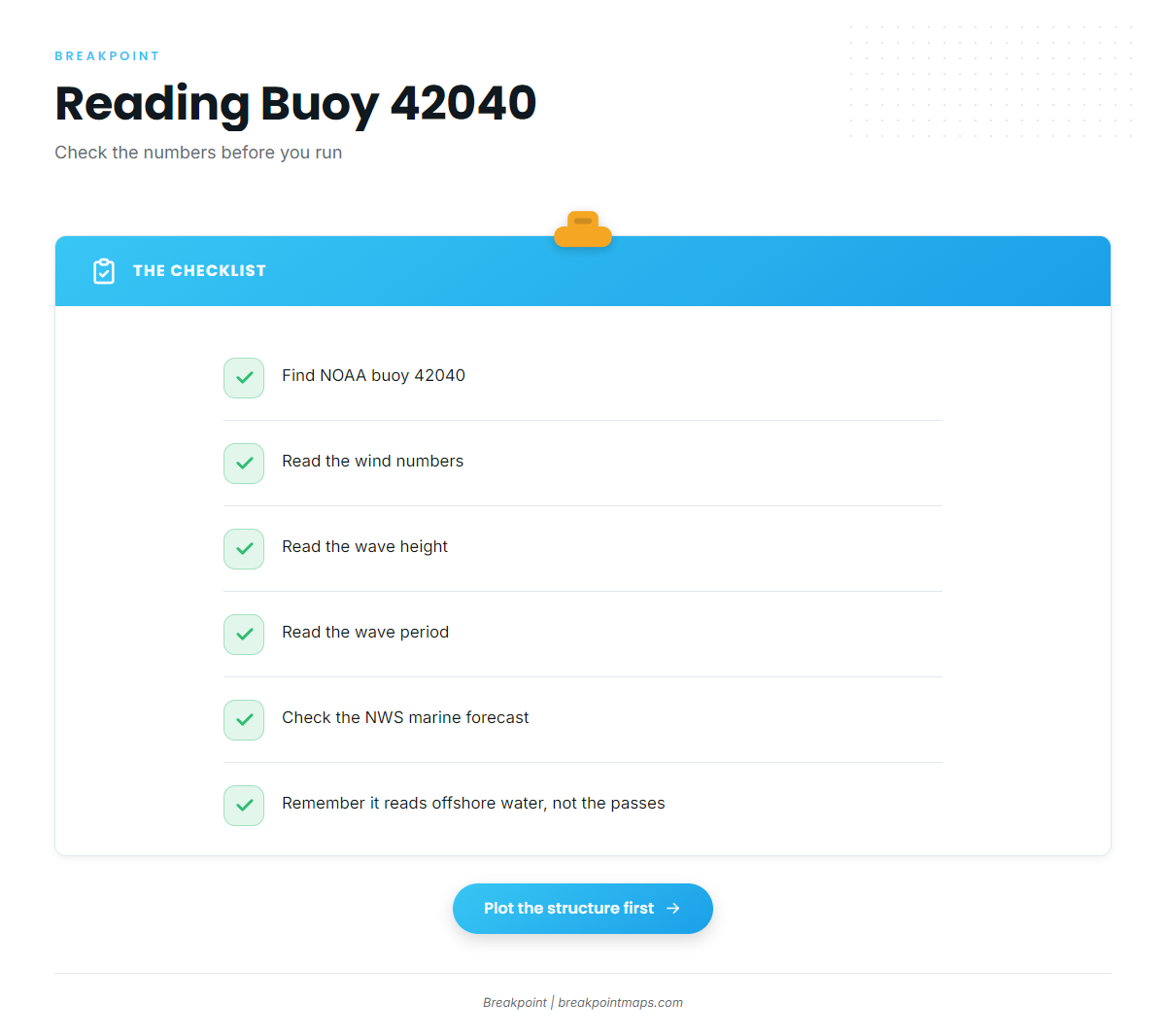
The buoy to watch is NOAA 42040. According to the NDBC page, it was re-established about 60 NM south of station 42007’s nominal position. Its readings describe that offshore water, not the passes or the water near the barrier islands.
Read its wind, wave height and period numbers alongside the official NWS marine forecast, then make your own call.
Who fishes for wahoo out of Biloxi
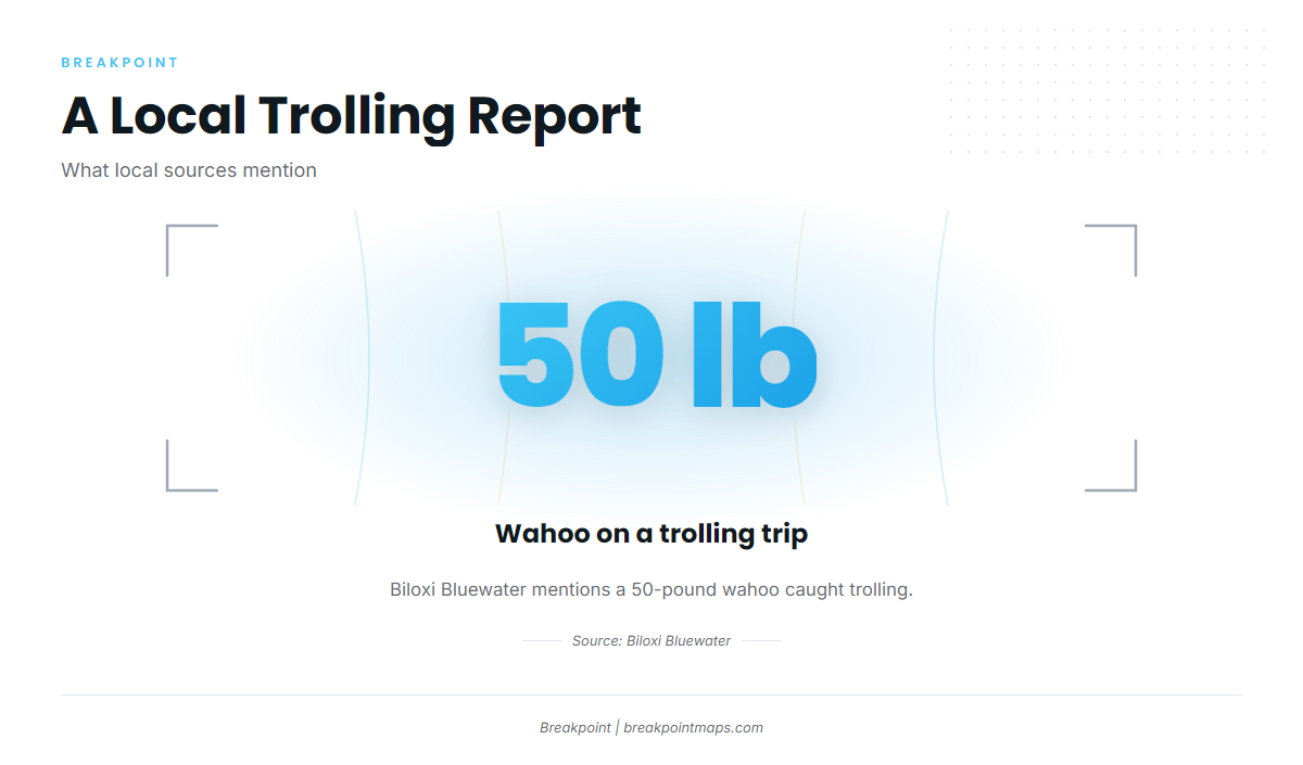
Aquiline Custom Charters in Biloxi, run by Captain James, lists wahoo. Biloxi Bluewater’s trolling report is the other local mention. The Billfish Classic brings its own fleet of tournament boats each June.
If you haven’t run these grounds, you could book a local trip first to see the water, then make the run yourself.
FAQ about wahoo fishing out of Biloxi
When is wahoo season out of Biloxi?
Aquiline lists wahoo for summer. The Mississippi Gulf Coast Billfish Classic, which includes wahoo out of Biloxi, is usually held in June.
How far are the Ship Island and Camille Cut wrecks?
They lie about 15 to 20 miles offshore. They are the closer structure and are not the deep wahoo grounds.
Where are the Horseshoe rigs?
They sit south of the Mississippi River mouth, in 300 to 400 ft of water, along with the salt domes. No run distance is sourced for them.
Which buoy covers the offshore grounds?
NOAA station 42040, re-established about 60 NM south of 42007’s nominal position. Read its wind, wave height and period numbers with the NWS marine forecast.
Who runs wahoo charters from Biloxi?
Aquiline Custom Charters, with Captain James, lists wahoo. Biloxi Bluewater mentions a 50-pound wahoo on a trolling trip.
Do wahoo show up at Katrina Reef or the barrier islands?
Those are nearshore and orientation spots. The Cat Island and Horn Island grounds are listed for cobia in late April and early May. The wahoo grounds named for Biloxi are the deep rigs, salt domes and the offshore ledge.