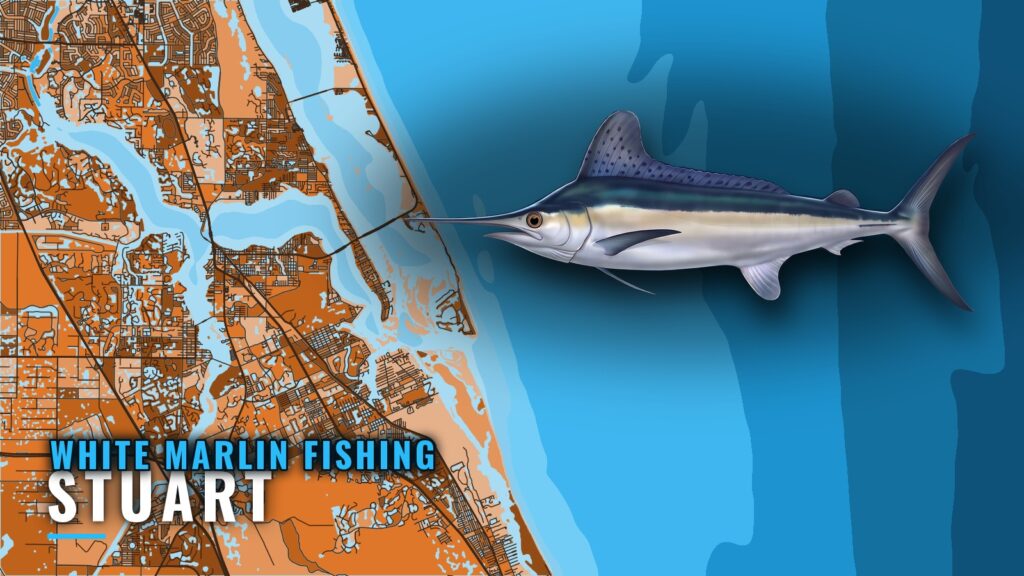
White marlin fishing out of Stuart means a run east from St. Lucie Inlet to the east side of the Gulf Stream, past a string of named reefs you can use as waypoints. This page is a reference for owner-operators planning their own run. It covers the grounds in order outward from the inlet, the tide station, who runs these trips locally, and where the rules live.
Where Stuart boats run for white marlin
Boats out of this port run to the east side of the Gulf Stream, which a Stuart captain calls the white marlin run. The named reefs sit between the inlet and that water.
East side of the Gulf Stream
- Start point: St. Lucie Inlet
- Destination: the east side of the Gulf Stream
- Waypoints: the reefs and hills listed in the grounds section below
Reading the inlet
NOAA tide station 8722207 is the St. Lucie tide station. It is a tide station, not a buoy. The Stuart port page has the inlet details. Check the tide station and the official marine forecast before you run the inlet.
When white marlin are off Stuart
Timing and biology are covered in the white marlin species guide. The Atlantic Southeast white marlin guide (see also the Atlantic Southeast region guide) gives the regional picture for this coast.
Named grounds and structure off St. Lucie Inlet
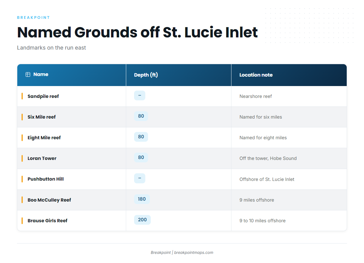
These landmarks sit on the run east. Use them as reference points and waypoints, working outward from the inlet.
Nearshore and 80 ft reefs
- Sandpile reef: a nearshore reef.
- Six Mile reef: 80 ft, named for six miles.
- Eight Mile reef: 80 ft, named for eight miles.
- Loran Tower (Hobe Sound): 80 ft, off the Loran tower in Hobe Sound.
Pushbutton Hill and The Rankin
- Pushbutton Hill (the Hill): offshore of St. Lucie Inlet.
- The Rankin (USS Rankin wreck): a named wreck.
Deeper reefs at 180 to 200 ft
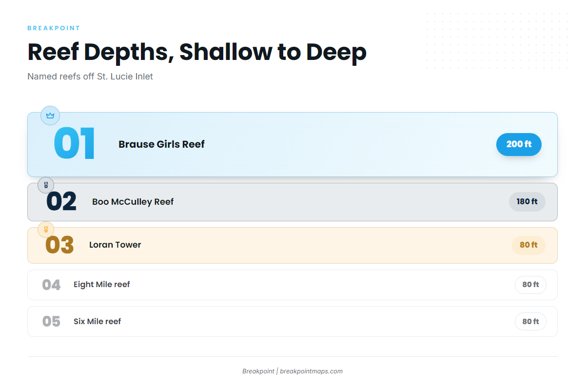
- Boo McCulley Reef (Borocho): 180 ft, 9 miles offshore of St. Lucie Inlet.
- Brause Girls Reef (Penobscot tug): 200 ft, 9 to 10 miles offshore, reached from Stuart.
| Name | Alias | Depth (ft) | Location note |
|---|---|---|---|
| Sandpile reef | – | – | Nearshore reef |
| Six Mile reef | – | 80 | Named for six miles |
| Eight Mile reef | – | 80 | Named for eight miles |
| Loran Tower | Hobe Sound | 80 | Off the Loran tower in Hobe Sound |
| The Rankin | USS Rankin wreck | – | – |
| Pushbutton Hill | the Hill | – | Offshore of St. Lucie Inlet |
| Boo McCulley Reef | Borocho | 180 | 9 miles offshore of St. Lucie Inlet |
| Brause Girls Reef | Penobscot tug | 200 | 9 to 10 miles offshore, reached from Stuart |
Chart Contours shows the 80 ft and 180 to 200 ft contours these reefs sit on. Chart layers are not for navigation.
How it is fished and who fishes it from Stuart
East side trips
The local method on record is East side of the Gulf Stream trips. Charter listings are the source for details on methods.
Stuart Big Game Fishing
Stuart Big Game Fishing lists white marlin. It runs the 61-foot custom sportfisher Unbelievable, with Captain VJ Bell. It is the listed local option if you want to see the run before taking your own boat out.
FAQ: white marlin fishing out of Stuart
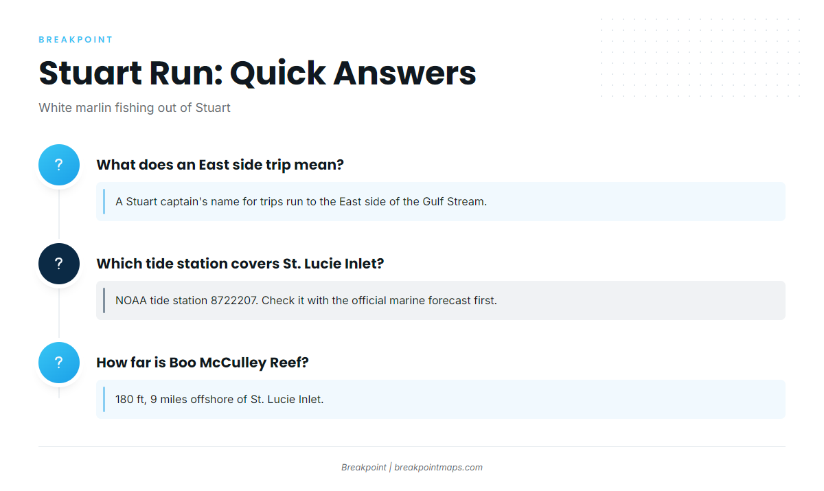
How far are the deeper reefs from St. Lucie Inlet?
Boo McCulley Reef (Borocho) is 180 ft, 9 miles offshore of St. Lucie Inlet. Brause Girls Reef (Penobscot tug) is 200 ft, 9 to 10 miles offshore, reached from Stuart.
What does an East side trip mean?
A Stuart captain uses the name for trips run to the east side of the Gulf Stream, where boats from this port run for white marlin.
Which tide station covers St. Lucie Inlet?
NOAA tide station 8722207 is the St. Lucie tide source. Check it with the official marine forecast before running the inlet.
Is there a local charter that lists white marlin?
Stuart Big Game Fishing lists white marlin. It runs the 61-foot custom sportfisher Unbelievable, with Captain VJ Bell.
Where are the guides for other billfish?
Our billfish guides cover the other species.