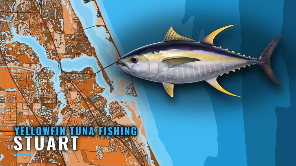
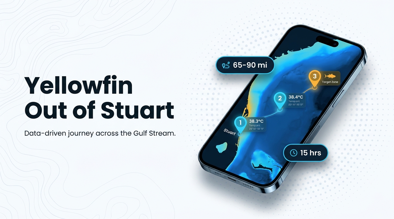
Yellowfin tuna fishing out of Stuart means a run to the east side of the Gulf Stream. A Stuart captain’s east-side trips cover 65 to 90 miles and last about 15 hours. This page covers timing, the run, the landmarks you pass on the way out, the local method and who fishes it.
When to Be on the Water
Be on the grounds at first light. Local boats run in the dark so they arrive as the day starts, then look for birds working tuna on radar.
With 65 to 90 miles to cover, a first-light arrival means leaving the inlet well before sunrise, which is part of why the day lasts about 15 hours.
- Arrive at first light: the search for working birds starts as the sky lightens.
- Leave in the dark: the run out takes most of the early hours.
- Plan the whole day: about 15 hours covers the run out, the search and the run home.
The yellowfin tuna species guide has the broader picture.
The Run: East Side of the Gulf Stream
Stuart boats cross the Gulf Stream to its east side for yellowfin. Check the 65 to 90 mile distance against your boat’s range, fuel reserve and crew before you commit.
NOAA tide station 8722207 is the St. Lucie tide source, useful for timing the inlet on the way out and back. Read wind, wave height and period from the official marine forecast, and check it again before you leave the dock.
| Planning figure | Value |
|---|---|
| Where boats run | East side of the Gulf Stream |
| Distance, east-side trips | 65 to 90 miles |
| Trip length | About 15 hours |
| Tide source | NOAA tide station 8722207 |
For context on the whole coast, see the guide to the wider Southeast fishery (see also the Atlantic Southeast fishing guide).
Grounds and Structure off St. Lucie Inlet
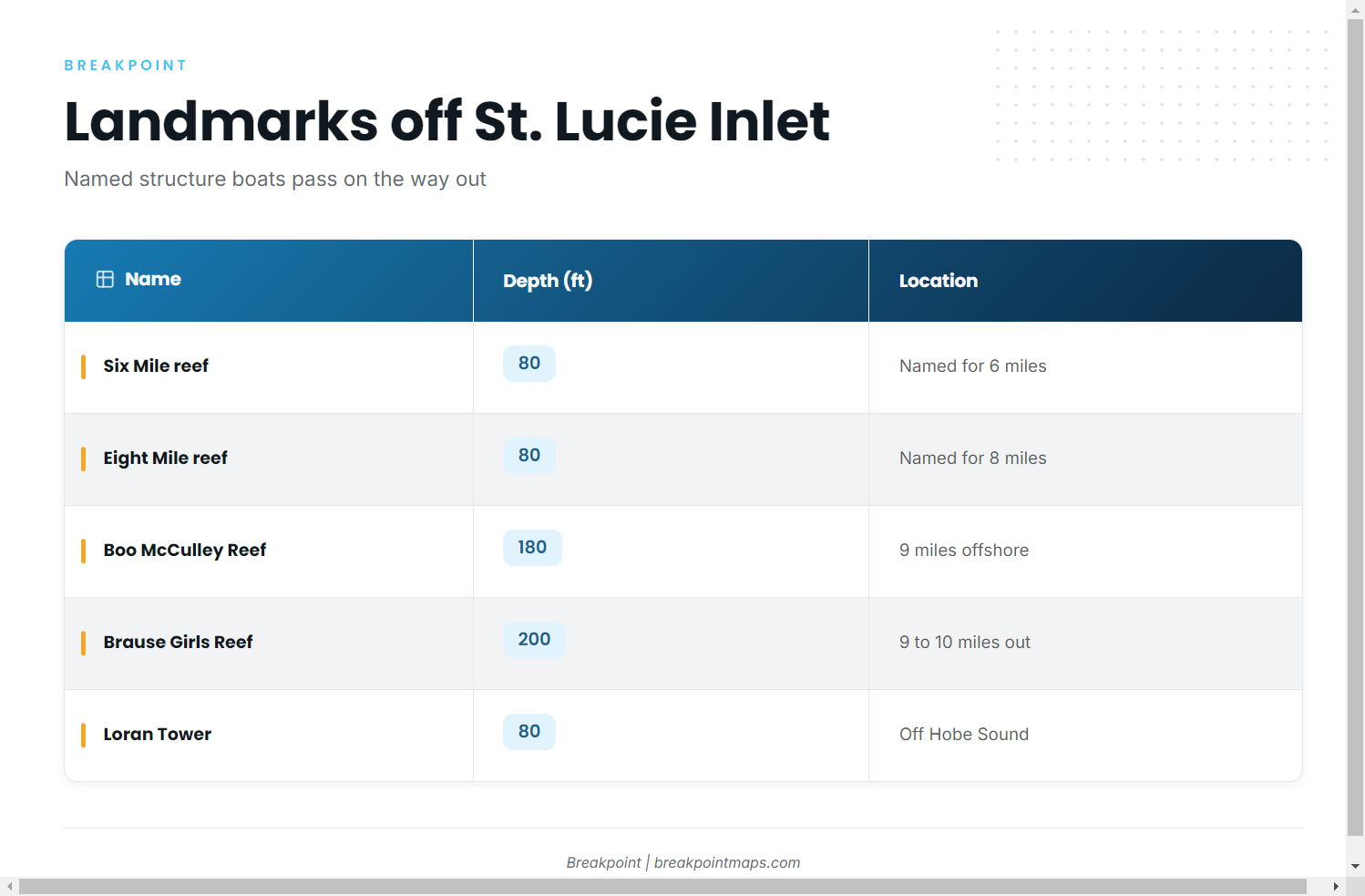
The named reefs and wrecks off St. Lucie Inlet are the landmarks Stuart boats know. The yellowfin run goes well past them, so use them as waypoints on the way out rather than as tuna grounds.
| Name | Depth (ft) | Location note |
|---|---|---|
| Sandpile reef | Nearshore reef | |
| Six Mile reef | 80 | Named for six miles |
| Eight Mile reef | 80 | Named for eight miles |
| Pushbutton Hill (the Hill) | Offshore of St. Lucie Inlet | |
| Boo McCulley Reef (Borocho) | 180 | 9 miles offshore of St. Lucie Inlet |
| Brause Girls Reef (Penobscot tug) | 200 | 9 to 10 miles offshore, reached from Stuart |
| Loran Tower (Hobe Sound) | 80 | Off the Loran tower in Hobe Sound |
| The Rankin (USS Rankin wreck) |
Chart Contours shows the bottom around these reefs. Chart layers are not for navigation.
Nearshore Reefs
Sandpile is the nearshore reef. Six Mile and Eight Mile both sit in 80 ft and are named for their distance from the inlet.
Deeper Reefs
Pushbutton Hill lies offshore of St. Lucie Inlet. Boo McCulley (Borocho) sits 9 miles out in 180 ft. Brause Girls, the Penobscot tug, sits 9 to 10 miles out in 200 ft.
Wrecks and Towers
The Loran Tower marks 80 ft off Hobe Sound. The Rankin is the USS Rankin wreck.
How Yellowfin Are Fished from Stuart
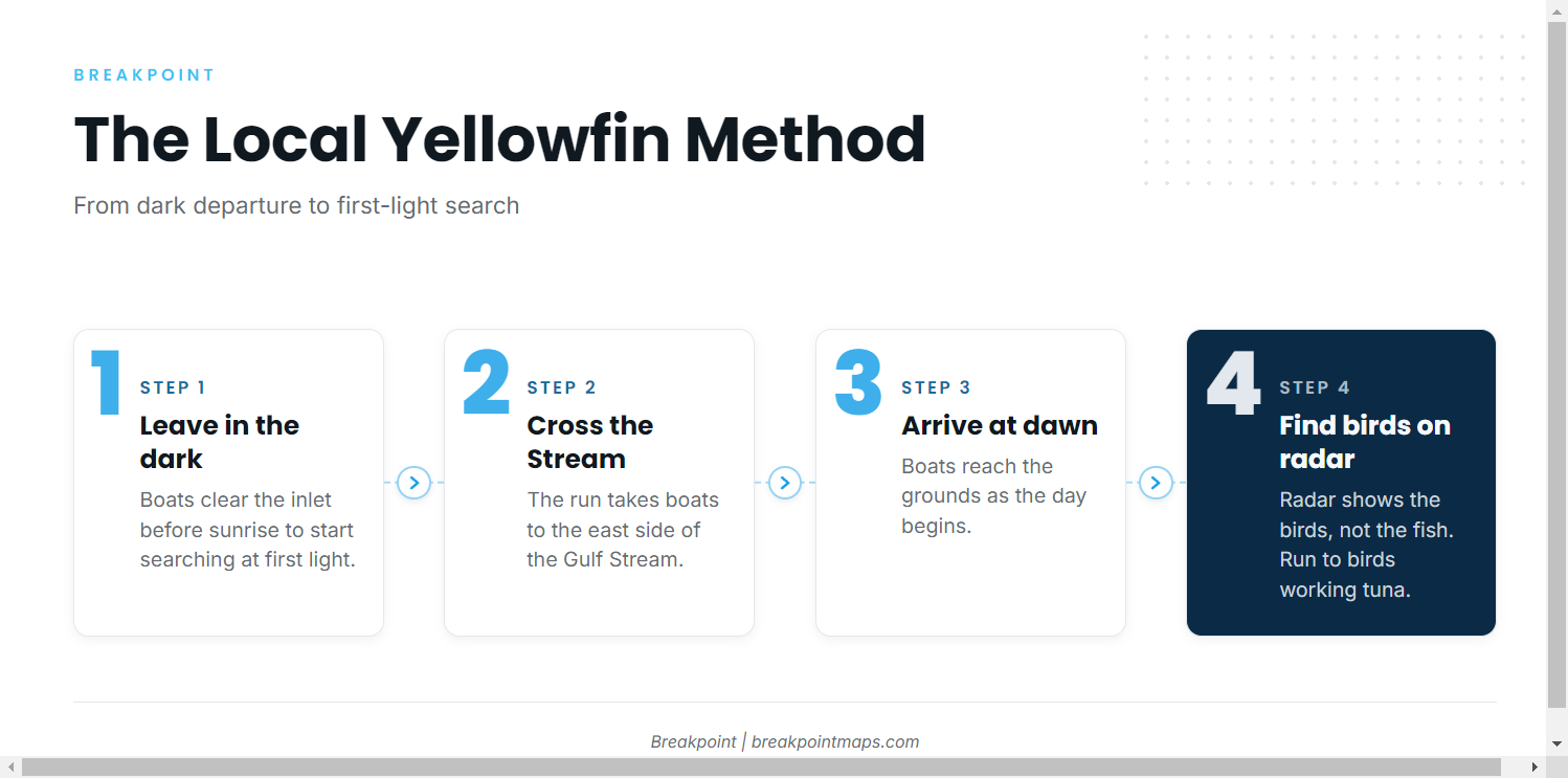
The local method is a first-light arrival on the east side of the Gulf Stream, followed by a search for birds working tuna on radar.
First-Light Run
Boats leave in the dark so the searching starts when the light does. The run is long, and the first-light window is the reason for leaving early.
Birds on Radar
Boats mark birds working tuna on radar and run to them. Radar shows the birds rather than the fish, so a pack of birds is a lead and not a guarantee.
Charter-based yellowfin trips are also a local method, covered next.
Who Fishes for Yellowfin Here
These local charters list yellowfin tuna, and a Stuart captain’s east-side trips follow the 65 to 90 mile, roughly 15-hour pattern described above.
- Hate 2 Lose Fishing Charters
- Stuart Big Game Fishing: 61-foot custom sportfisher Unbelievable
- Captain VJ Bell
Some of these boats also fish for other tunas.
FAQ
How far do you run for tuna from St. Lucie Inlet?
Boats run to the east side of the Gulf Stream. A Stuart captain’s east-side trips cover 65 to 90 miles.
How long is a yellowfin trip out of Stuart?
East-side trips last about 15 hours. Boats run in the dark to arrive at first light.
What is the tide station for St. Lucie Inlet?
NOAA tide station 8722207 is the St. Lucie tide source. It is a tide station, not a buoy.
Where are Boo McCulley and Brause Girls reefs?
Boo McCulley Reef (Borocho) is 9 miles off St. Lucie Inlet in 180 ft. Brause Girls Reef (the Penobscot tug) is 9 to 10 miles out in 200 ft. Both are landmarks on the way out.
Which Stuart charters list yellowfin?
Hate 2 Lose Fishing Charters, Stuart Big Game Fishing with the 61-foot custom sportfisher Unbelievable, and Captain VJ Bell all list yellowfin tuna.