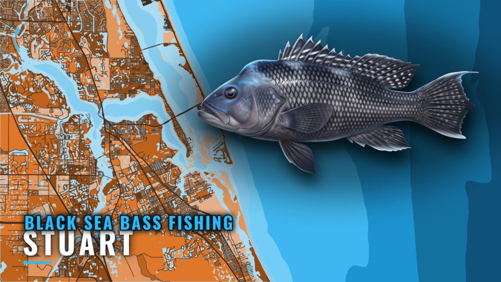
Black sea bass off Stuart
Black sea bass fishing out of Stuart starts at St. Lucie Inlet, and every distance on this page is measured from it. The Stuart port page covers the inlet and the port as a whole. For the wider coast, see the black sea bass fishing in the Atlantic Southeast and the wider Atlantic Southeast guide.
Below are the named reefs and wrecks off the inlet, with depths and positions you can plot. One local charter lists black sea bass among its target species. For timing, movement and structure preference across the South Atlantic, see the black sea bass species guide.
Named grounds off St. Lucie Inlet
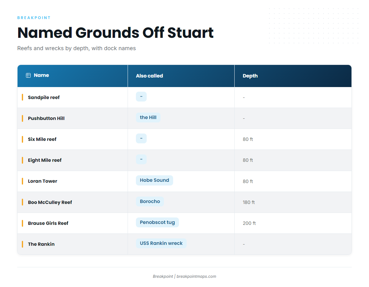
These are the named reefs and wrecks off Stuart. The reef fish guides give the regional picture for reef and wreck bottom fishing. Chart layers are not for navigation.
Dock names and plotter labels often differ, so the table pairs each ground with its other name.
| Name | Also called | Depth | Position |
|---|---|---|---|
| Sandpile reef | – | – | Nearshore reef |
| Pushbutton Hill | the Hill | – | Offshore of St. Lucie Inlet |
| Six Mile reef | – | 80 ft | Named for six miles |
| Eight Mile reef | – | 80 ft | Named for eight miles |
| Loran Tower | Hobe Sound | 80 ft | Off the Loran tower in Hobe Sound |
| Boo McCulley Reef | Borocho | 180 ft | 9 miles offshore of St. Lucie Inlet |
| Brause Girls Reef | Penobscot tug | 200 ft | 9 to 10 miles offshore, reached from Stuart |
| The Rankin | USS Rankin wreck | – | – |
Nearshore
Sandpile reef is the only nearshore reef on the list. Pushbutton Hill lies offshore of St. Lucie Inlet and is known locally as the Hill.
80-foot reefs
Six Mile reef and Eight Mile reef both sit at 80 ft and are named for their distances, six miles and eight miles. Loran Tower is also at 80 ft, off the Loran tower in Hobe Sound, and you will often hear it called Hobe Sound.
Deep wrecks at 180 to 200 feet
Boo McCulley Reef, also called Borocho, is at 180 ft, 9 miles offshore of St. Lucie Inlet. Brause Girls Reef, the Penobscot tug, is at 200 ft, 9 to 10 miles offshore, reached from Stuart. The Rankin, the USS Rankin wreck, is the last of the named marks.
Running out of Stuart
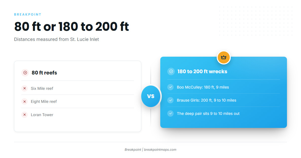
Measure every run from St. Lucie Inlet. The grounds fall into two depth bands:
- 80 ft: Six Mile reef, Eight Mile reef and Loran Tower.
- 180 to 200 ft: Boo McCulley Reef at 9 miles and Brause Girls Reef at 9 to 10 miles.
The St. Lucie tide source is NOAA tide station 8722207. Check it when planning an inlet crossing.
Who fishes for them out of Stuart
Stuart Big Game Fishing lists black sea bass among its species for charters out of Stuart. Captain VJ Bell runs the 61-foot custom sportfisher Unbelievable.
FAQ about black sea bass fishing out of Stuart
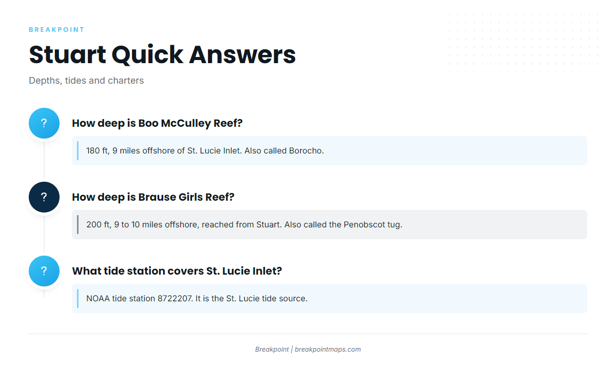
How deep is Boo McCulley Reef?
It sits at 180 ft, 9 miles offshore of St. Lucie Inlet. It is also called Borocho.
How deep is Brause Girls Reef?
It sits at 200 ft, 9 to 10 miles offshore, reached from Stuart. It is also called the Penobscot tug.
How deep are Six Mile and Eight Mile reefs?
Both sit at 80 ft. Six Mile is named for six miles and Eight Mile for eight miles.
What tide station covers St. Lucie Inlet?
NOAA tide station 8722207, the St. Lucie tide source.
Which Stuart charter lists black sea bass?
Stuart Big Game Fishing lists the species. Captain VJ Bell runs the 61-foot Unbelievable.