Where Stuart Boats Run for Blue Marlin
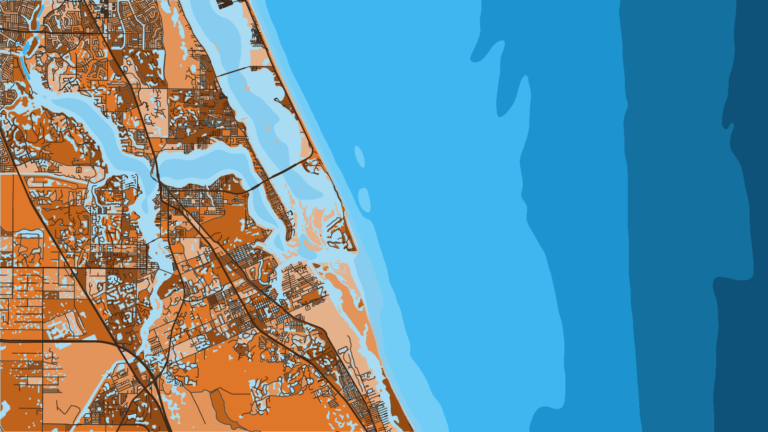
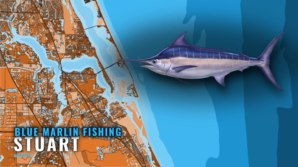
Blue marlin fishing out of Stuart means running east from Stuart and St. Lucie Inlet to the east side of the Gulf Stream. The inlet is the only way out to blue water, so every run starts there.
The East Side of the Gulf Stream
Stuart boats cross the stream and work its east side instead of the Florida-side edge. For how the stream sets up along this coast and how blue marlin use it, see the Gulf Stream and regional picture (see also the Atlantic Southeast region guide).
A Jumping-Off Point for the Bahamas
Stuart is a jumping-off point for the Bahamas. Boats that make the east-side run can carry on across rather than turn for home.
When the Fish Are Around
The species guide covers when blue marlin are in the western Atlantic. Use it to pick a window, then check the day’s conditions before committing to the run.
The Inlet and Tide Reference
The US Harbors page names NOAA tide station 8722207 as the St. Lucie tide source. Check it before running the inlet. For wind, wave height and period, read the official NOAA marine forecast for your launch time.
Chart layers such as Chart Contours help you place the named grounds below on your plot, but they are not for navigation.
Grounds and Structure off St. Lucie Inlet
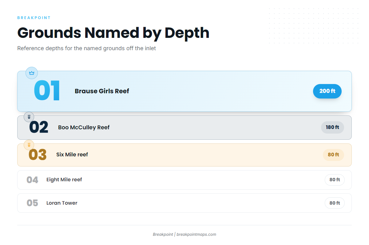
These named places are crossed or used as reference on the run. They are not marlin spots, and nothing here promises fish.
| Name | Also called | Depth (ft) | Location note |
|---|---|---|---|
| Sandpile reef | Nearshore reef | ||
| Six Mile reef | 80 | Named for six miles | |
| Eight Mile reef | 80 | Named for eight miles | |
| Loran Tower | Hobe Sound | 80 | Off the Loran tower in Hobe Sound |
| The Rankin | USS Rankin wreck | ||
| Boo McCulley Reef | Borocho | 180 | 9 miles offshore of St. Lucie Inlet |
| Brause Girls Reef | Penobscot tug | 200 | 9 to 10 miles offshore, reached from Stuart |
| Pushbutton Hill | the Hill | Offshore of St. Lucie Inlet |
Sandpile is the nearshore reef. Six Mile and Eight Mile, named for their distance from the beach, and Loran Tower, lined up off the Loran tower in Hobe Sound, all sit at 80 ft. Boo McCulley Reef (Borocho) sits at 180 ft, 9 miles out. Brause Girls Reef, the Penobscot tug, sits at 200 ft, 9 to 10 miles out. Pushbutton Hill, also called the Hill, is offshore of the inlet, and The Rankin is the USS Rankin wreck.
How Blue Marlin Are Fished out of Stuart
Two local methods cover it.
Charter Trips to the East Side
Local charter trips run to the east side of the Gulf Stream, the same water you would run on your own boat.
Bahamas Runs
Bahamas runs are the other local method, and they follow from Stuart’s position as a jumping-off point.
Who Fishes for Blue Marlin out of Stuart
These local charters list blue marlin. If you are weighing a hired captain against running your own boat, the billfish guides article covers how to choose one.
Stuart Big Game Fishing
Stuart Big Game Fishing runs the 61-foot custom sportfisher Unbelievable.
Hate 2 Lose Fishing Charters
Hate 2 Lose Fishing Charters lists blue marlin.
Captain VJ Bell
Captain VJ Bell lists blue marlin.
FAQ: Blue Marlin Fishing out of Stuart
Where do boats run for blue marlin out of Stuart?
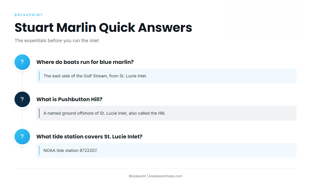
The east side of the Gulf Stream, running from St. Lucie Inlet. Stuart is also a jumping-off point for the Bahamas.
What is Pushbutton Hill?
A named ground offshore of St. Lucie Inlet, also called the Hill.
How deep are Boo McCulley and Brause Girls reefs?
Boo McCulley (Borocho) is 180 ft, 9 miles offshore of St. Lucie Inlet. Brause Girls (Penobscot tug) is 200 ft, 9 to 10 miles offshore.
Which charters out of Stuart list blue marlin?
Hate 2 Lose Fishing Charters, Stuart Big Game Fishing (61-foot Unbelievable) and Captain VJ Bell.
What tide station covers St. Lucie Inlet?
NOAA tide station 8722207.