Where Boats Run for Yellowfin off Fort Lauderdale
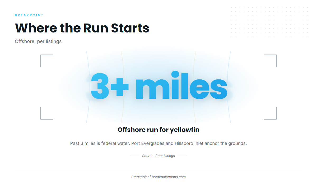
Yellowfin trips out of Fort Lauderdale run offshore, more than 3 miles out according to listings, and troll named structure off Port Everglades and Hillsboro Inlet. Port details are on the Fort Lauderdale port page. Each ground below has a BR code, so you can turn the list into waypoints.
The named grounds fall under two departure references:
- Port Everglades: the reference for Hammerhead Reef, The Caves and Port Everglades Reef.
- Hillsboro Inlet: the reference for the five grounds on the Hillsboro side.
Water past 3 miles is federal, which affects the rules covered in the Regulations section.
No NOAA buoy is confirmed for Port Everglades. For conditions, use the NWS Miami coastal waters forecast and plan from its wind and sea numbers. Chart layers and BR markers are not for navigation.
When Yellowfin Are Around
No months are listed for yellowfin off Fort Lauderdale, so this page gives no season for the port.
For timing and biology across the range, see our yellowfin tuna guide. For the regional picture and how nearby ports compare, see the Atlantic Southeast yellowfin guide (see also the Atlantic Southeast offshore fishing guide).
The port data tells you where to run and which structure to troll. That helps you decide where to put the baits, but it says nothing about whether fish will be there.
Named Grounds and Structure
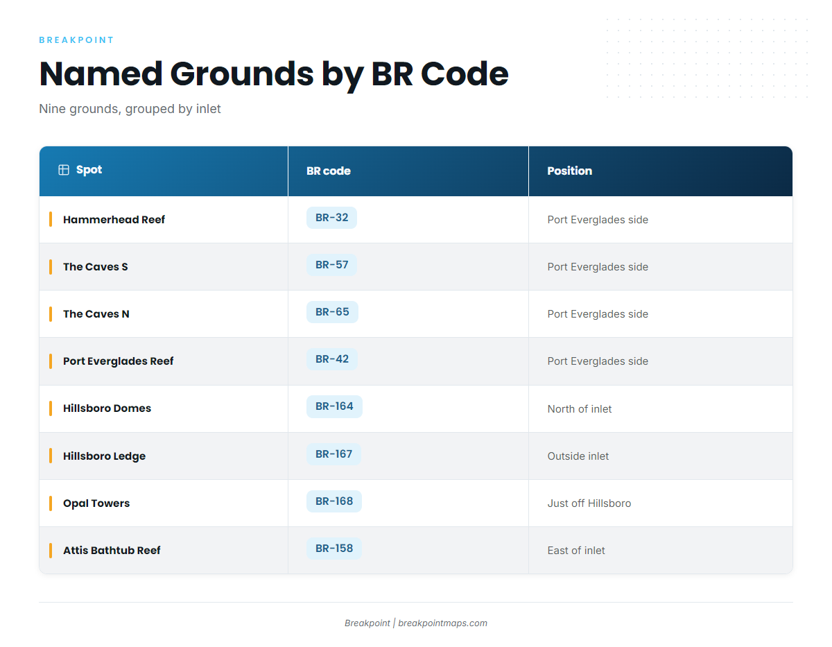
The grounds split into a Port Everglades side and a Hillsboro Inlet side. Each BR code matches a marker on the Breakpoint map.
| Spot | BR code | Location relative to Hillsboro Inlet |
|---|---|---|
| Hammerhead Reef | BR-32 | |
| The Caves, Twin Ledges S | BR-57 | |
| The Caves, Twin Ledges N | BR-65 | |
| Port Everglades Reef | BR-42 | |
| Hillsboro Domes | BR-164 | North of Hillsboro Inlet |
| Hillsboro Ledge | BR-167 | Outside Hillsboro Inlet |
| Opal Towers | BR-168 | Just off Hillsboro |
| Attis Bathtub Reef | BR-158 | East of Hillsboro Inlet |
| Abby Too | BR-161 | South of Hillsboro Inlet |
Port Everglades Side
Three grounds sit on this side:
- Hammerhead Reef (BR-32): a waypoint for the Port Everglades run.
- The Caves, Twin Ledges S (BR-57) and N (BR-65): a paired ledge, with a south and a north marker.
- Port Everglades Reef (BR-42): the third ground on this side.
Hillsboro Inlet Side
Five grounds, ordered by position:
- Hillsboro Domes (BR-164): north of Hillsboro Inlet.
- Hillsboro Ledge (BR-167): outside Hillsboro Inlet.
- Opal Towers (BR-168): just off Hillsboro.
- Attis Bathtub Reef (BR-158): east of Hillsboro Inlet.
- Abby Too (BR-161): south of Hillsboro Inlet.
These positions give you a run plan out of that inlet, including which ground to work first and in what order.
How It’s Fished and Who Fishes It
Trolling is the local method, and listings show boats trolling offshore, past 3 miles. For broader technique, see our tuna fishing guides.
Plan the troll across the grounds above, stringing two or three BR markers into one pass instead of treating each as a separate stop. The grounds are the same whichever inlet you leave from.
FAQ
How far offshore do boats run for yellowfin out of Fort Lauderdale?
According to listings, boats run more than 3 miles offshore, which puts the fishing in federal waters. The named grounds on this page are the structure to plan around, grouped by Port Everglades and Hillsboro Inlet.
Is there a set yellowfin season off Fort Lauderdale?
No months are listed for yellowfin at this port. For timing and the wider picture, use the yellowfin tuna guide and the Atlantic Southeast yellowfin guide linked above. Both cover what the port data does not.
What method do local boats use?
Trolling. Work the BR markers as a line rather than as isolated spots. Listings show boats trolling offshore, past 3 miles.
Which named grounds sit near Hillsboro Inlet?
Five grounds are listed on the Hillsboro side:
- Hillsboro Domes (BR-164), north of Hillsboro Inlet
- Hillsboro Ledge (BR-167), outside Hillsboro Inlet
- Opal Towers (BR-168), just off Hillsboro
- Attis Bathtub Reef (BR-158), east of Hillsboro Inlet
- Abby Too (BR-161), south of Hillsboro Inlet
Where do I find the fishing rules for this port?
Start with the Florida Fish and Wildlife Conservation Commission for state rules, and the federal tunas rules for trips past 3 miles. Check both before fishing. This page states no limits, sizes or seasons.