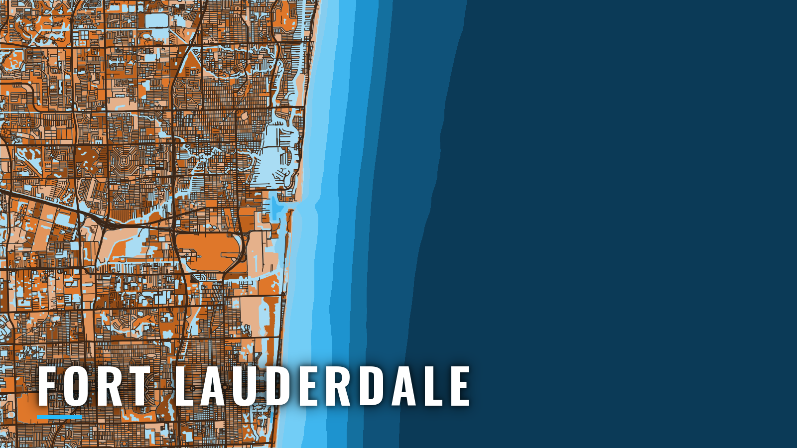

About Fort Lauderdale
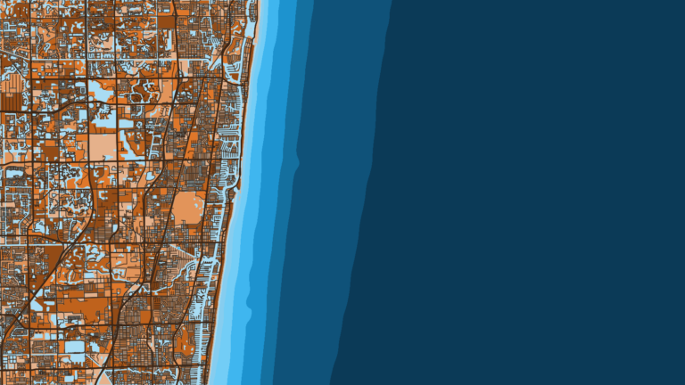
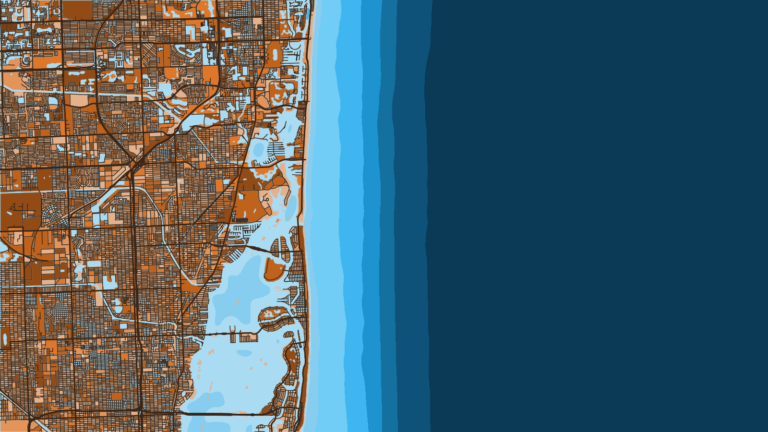
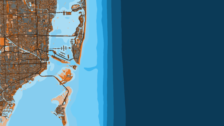
Fort Lauderdale fishes offshore out of Port Everglades Inlet, a jettied deepwater entrance shared with Dania Beach and Hollywood. The Intracoastal Waterway and the New River lie just inside, with marinas along them. Boats run east from the inlet to the nearshore reef lines and the Gulf Stream edge, which sits close to the beach.
Fishing runs year-round. The main offshore targets are sailfish, mahi-mahi, wahoo and blackfin tuna, with king mackerel, amberjack and sharks in the mix by season. Below: where to launch, how the entrance behaves, and what the grounds hold by season.
Before you fish, check the FWC saltwater fishing regulations and our Florida rules and licensing page, which covers the Florida saltwater license requirement.
Access and navigation
Broward County lists these public ramps; the marinas below list fuel.
- Southeast 15th Street Boat Ramp – public ramp
- Dr. Von D. Mizell-Eula Johnson Boat Ramp – public ramp
- S.S. Holland Park – public ramp
- Hollywood Marina ramp – public ramp
- Harbour Town Marina ramps – public ramps
- Cooley’s Landing – public ramp
- Bahia Mar Yachting Center – marina, fuel listed
- Lauderdale Marina – marina, fuel listed
Entrance behavior
Geometry. The U.S. Coast Pilot 4, Chapter 10 gives the entrance range as 269.5 degrees and describes the harbor as well protected except from waves approaching from the east. East swell can carry straight into the entrance.
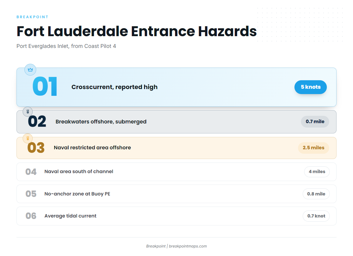
Crosscurrent. Currents across the channel run at right angles to it, vary in strength and direction, and are reported as high as 5 knots. Tidal current in the entrance averages about 0.7 knot, though older survey reports note 3 knots on the flood and 4 on the ebb. In a narrow channel the set can push a boat sideways, so expect to carry a crab angle.
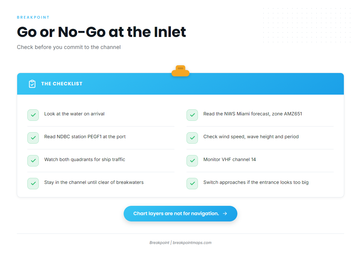
Ship traffic. Large commercial vessels approach, enter and depart within both quadrants east of Lighted Buoys 2 and 3, so watch both. The entrance buoys are reported to be hard to pick out on radar in heavy small-craft traffic. Vessels transiting port waters must monitor VHF channel 14. Anchoring within 0.8 mile of Lighted Buoy PE or in the entrance channel is discouraged for small craft.
Breakwaters and the restricted area. Two unmarked, submerged breakwaters extend almost 0.7 mile offshore on either side of the entrance, so stay in the channel until you are clear. A Naval restricted area extends about 2.5 miles offshore and about 4 miles south of the south edge of the channel.
Weather drivers. Easterly trade winds averaging 10 to 15 knots are common through much of the year. Winds of 17 knots or more are most likely September through April, about 2 to 5 percent of the time. An east wind lines up with the entrance, and that is when it tends to stack up.
Where to read conditions. The official forecast is NWS Miami forecast zone AMZ651, covering Deerfield Beach to Ocean Reef out 20 NM. For observed conditions, use NDBC station PEGF1 readings. PEGF1 reads at the port rather than on the Stream edge, and the forecast is only a forecast. Look at wind speed, wave height and period.
Alternatives and the go/no-go call
Two other approaches exist. Hillsboro Inlet lies to the north, and Bakers Haulover Inlet lies 11.6 miles south of Port Everglades.
When you arrive, look at the water and check AMZ651 and PEGF1. If the entrance looks bigger than you want, switch approaches.
Fishing conditions
The offshore grounds sit within the Atlantic Southeast reef and Gulf Stream system. The named grounds are 3rd Reef, the outer reef line, and Sailfish Alley. The Gulf Stream edge runs close to the beach, and the Broward County artificial reefs can be found through Broward County Marine Resources’ artificial reef locator map.
Our OBS SST and Chart Contours layers show where the Stream edge and the 3rd Reef drop sit on a given day. They don’t guarantee fish, but they help you decide where to look. Chart layers are not for navigation.
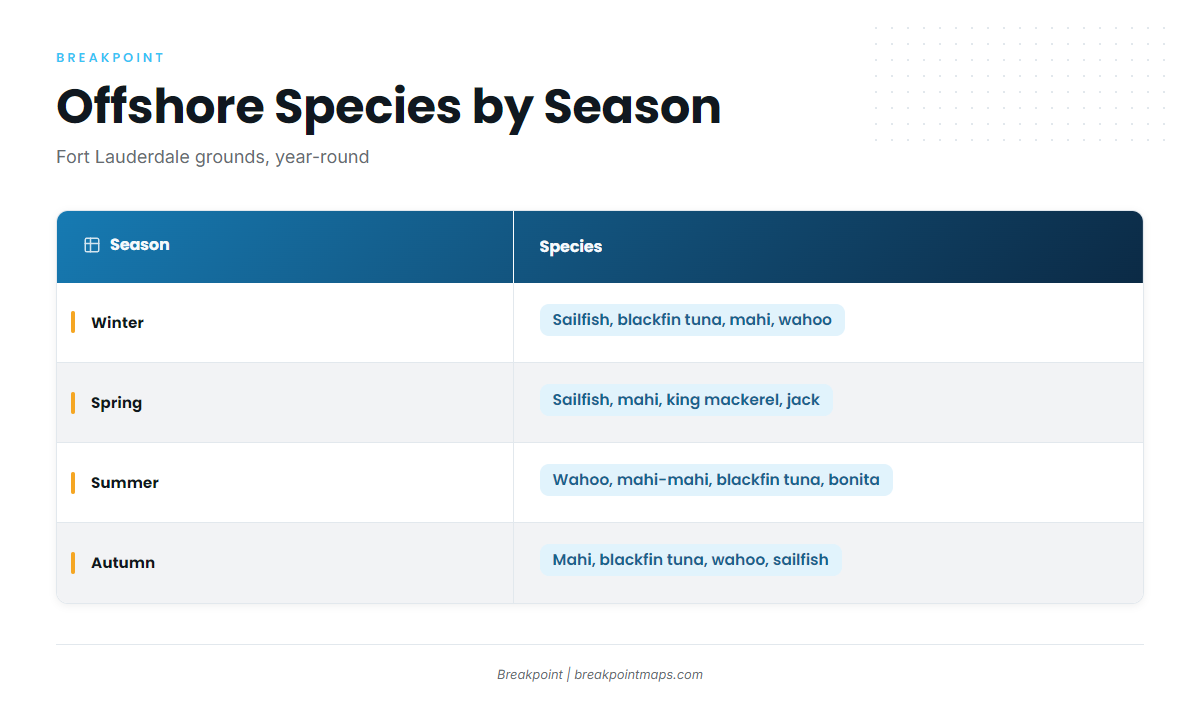
| Season | Species |
|---|---|
| Winter | sailfish, blackfin tuna, mahi-mahi, wahoo |
| Spring | sailfish, mahi-mahi, king mackerel, amberjack, blackfin tuna, wahoo, sharks |
| Summer | wahoo, mahi-mahi, blackfin tuna, king mackerel, bonita, sailfish, sharks |
| Autumn | mahi-mahi, blackfin tuna, wahoo, sailfish, king mackerel |
Winter
Sailfish, blackfin tuna, mahi-mahi and wahoo run in winter. Look for sailfish off the Atlantic Southeast along Sailfish Alley and the reef edges. Winds of 17 knots or more tend to be most likely from September through April, so plan around the AMZ651 forecast.
Spring
Sailfish, mahi-mahi, king mackerel, amberjack, blackfin tuna, wahoo and sharks run in spring. Greater amberjack can hold on 3rd Reef and the Broward artificial reefs.
Summer
Wahoo, mahi-mahi, blackfin tuna, king mackerel, bonita, sailfish and sharks run in summer. Mahi-mahi in the Atlantic Southeast tend to hold along weed lines on the Stream edge.
Autumn
Mahi-mahi, blackfin tuna, wahoo, sailfish and king mackerel run in autumn. Stronger easterlies might return in September, so the AMZ651 check matters.