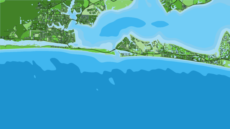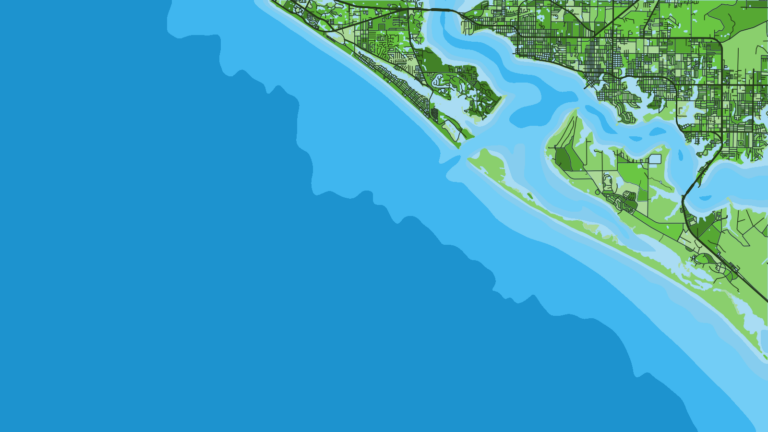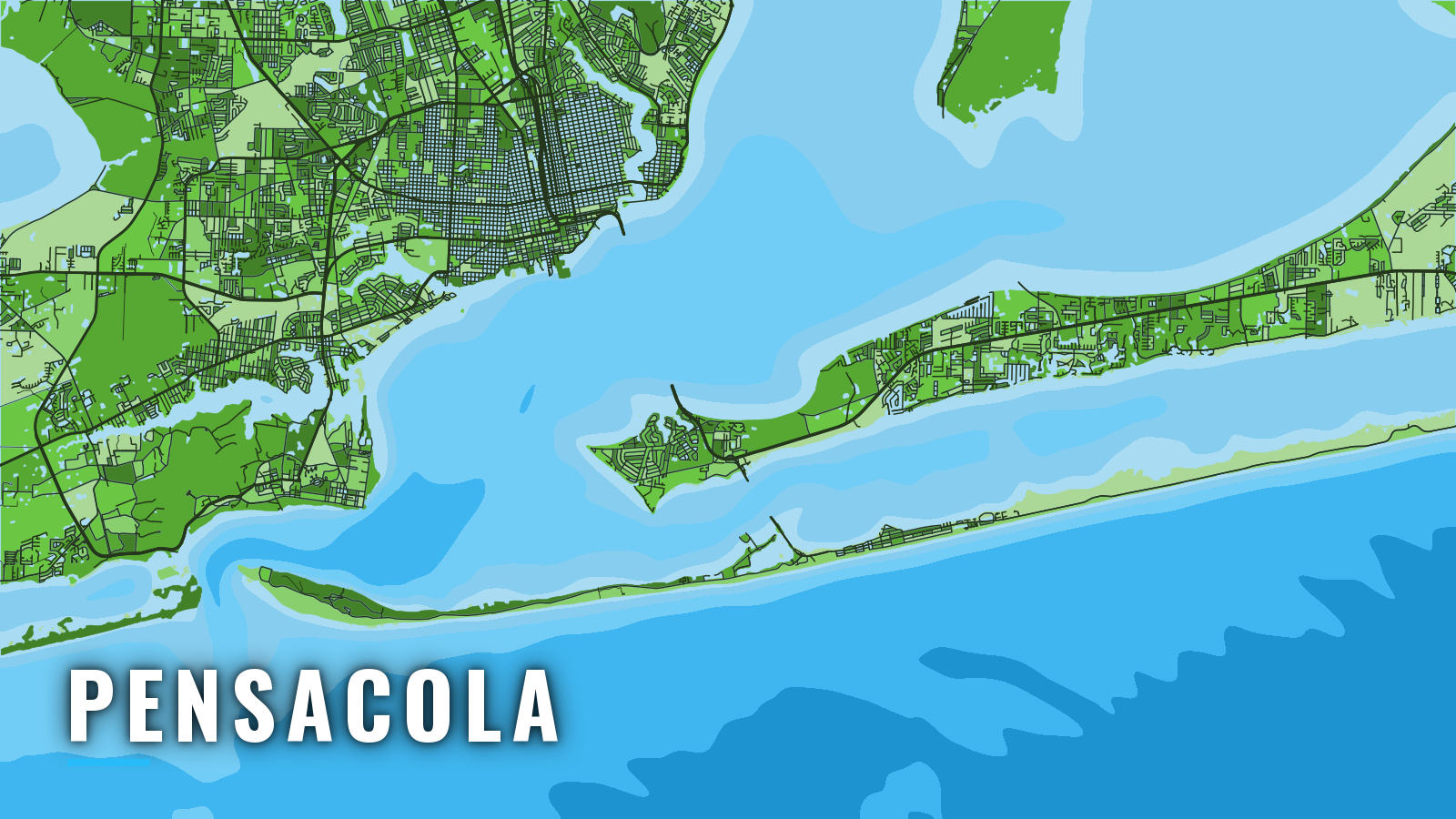

About Pensacola
Pensacola Bay reaches the Gulf of Mexico through Pensacola Pass and Caucus Channel, with nearshore reefs 4.5 to 5 nm out and the Oriskany 22.5 nm southeast of the Pass. Red snapper, greater amberjack, gray triggerfish, king and Spanish mackerel, cobia and mahi work the reefs and wrecks, and wahoo and yellowfin tuna run at the shelf edge.
Pensacola sits on the western end of the Panhandle, one of the Florida ports we cover, and fishes year-round on the northern Gulf of Mexico shelf. Species shift with the seasons. Anglers 16 and older on a private vessel need the free State Reef Fish Angler designation to keep red snapper, gag, greater amberjack or gray triggerfish. Check FWC regulations before you fish. This page covers where to launch, how the Pass behaves and what the grounds offer through the year.
Access and Navigation
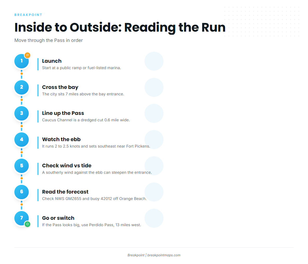
Public launches and fuel are inside the bay, and the run out goes through Pensacola Pass:
- Galvez Landing Boat Ramppublic launch ramp.
- Southwind Marinamarina with fuel listed.
- Palafox Pier Yacht Harbor Marinadowntown marina with fuel listed.
Both marinas list fuel, so you can top off before the run out.
Inside the bay, Bayou Chico Channel is dredged to a turning basin about 1 mile above its entrance, and an unmarked obstruction has been reported on the channel edge near 30°23.99’N, 87°14.55’W. The Bayou Grande entrance is privately marked and maintained to a reported 6 feet, with severe shoaling reported at the entrance. The city of Pensacola sits 7 miles above the bay entrance.
The entrance is Caucus Channel, a dredged cut 0.6 mile wide that runs 1.5 miles seaward. Caucus Shoal, with depths of 2 to 18 feet, extends 1.5 miles south from the west side of the entrance. East Bank and Middle Ground shoal water extends 1.6 miles south from the west end of Santa Rosa Island, and shoaling is noted on the east side of the entrance. The wreck of the battleship Massachusetts sits on the south end of Caucus Shoal and is marked by a lighted bell buoy.
Current can shape the run. The ebb in Caucus Cut tends to run about 2 to 2.5 knots for roughly 2 hours at its strongest, setting southeast, somewhat across the channel, near Fort Pickens. Clearing Fort Pickens on the ebb, expect to be pushed southeast across the cut. Midchannel current is about 1.7 knots at strength, with reports of up to 8 knots in the entrance. The flood is weaker, sets along the channels and can run harder after a norther.
Southeast is the prevailing wind from February through July, and a southerly wind against the ebb might stand the entrance up and steepen it.
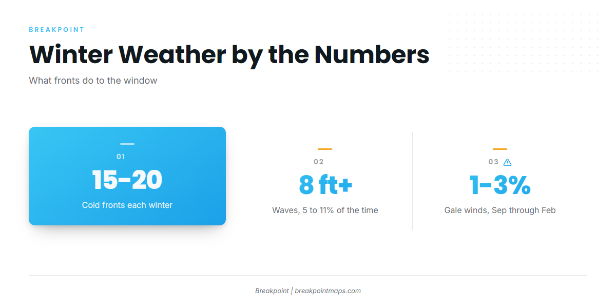
Winter adds its own pattern. Roughly 15 to 20 cold fronts pass each winter, often followed by strong north winds. Over open water along this coast, waves of 8 ft or more occur 5 to 11% of the time, most often in January and February. Gale-force winds blow about 1 to 3% of the time from September through February.
Perdido Pass, 13 miles west of the Pensacola Bay entrance, is the other way into the Gulf if the Pass looks bigger than you want.
Check conditions against official sources. The NWS Mobile coastal waters forecast covers the waters out 20 nm. NDBC buoy 42012 sits off Orange Beach, not at the Pass, so its waves describe offshore conditions rather than the entrance. Coast Pilot 5, Chapter 6 has the full entrance notes. Look at the water and the forecast when you arrive, and switch approaches if the Pass looks too big.
Fishing Conditions
Pensacola’s offshore grounds step out from public reefs a few miles off the Pass to the shelf edge.
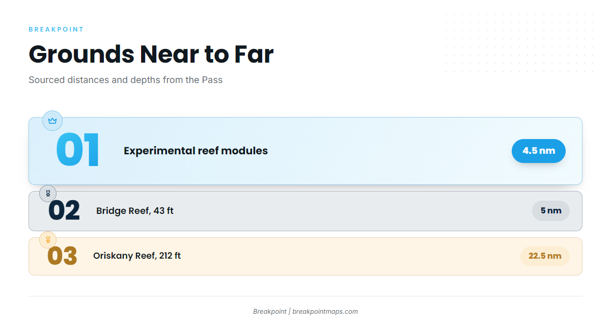
- Escambia Nearshore East Artificial Reef Site: includes the Pensacola Bay Fishing Bridge Reef, 5 nm from the entrance in 43 ft.
- Escambia County experimental reef modules: 43 sites, 4.5 nm off the Pass.
- Ocean Wind: tugboat reef in 82 ft.
- Pete Tide II: wreck.
- Massachusetts: wreck at the south end of Caucus Shoal, at the lighted bell buoy.
- Oriskany Reef: 22.5 nm southeast of the entrance in 212 ft, described on the Escambia County Oriskany Reef page.
The nearshore modules and the Bridge Reef are the closest starting points if you are new to running offshore.
Past the reefs, the shelf edge draws close to shore. The Nipple is one of the closest points on the 100-fathom line, and the Elbow sits a bit farther out. DeSoto Canyon is the deep-water ground for trolling wahoo, mahi, yellowfin tuna and billfish.
Winter
Vermilion snapper, red grouper and scamp hold on the reefs and wrecks. Fewer windows open between fronts, so the winter front count above matters. Vermilion snapper and red grouper are on the State Reef Fish Angler list. Scamp is not.
Spring
Spring brings the migrants. Cobia moving along the beaches show first, followed by arriving king mackerel nearshore. Spanish mackerel nearshore follow, and gray triggerfish on the reefs fill out the bottom fishing.
Summer
Red snapper, mahi and kings lead the summer. Find red snapper on the Gulf of Mexico reefs over the nearshore sites and wrecks, and check FWC for season dates before you go. Mahi run offshore, and kings stay in the mix.
OBS SST and Chlorophyll in Breakpoint show where the color and temperature edges sit before you commit fuel to the shelf edge. Chart layers are not for navigation.
Autumn
Greater amberjack, red snapper, kings and Spanish mackerel fill the autumn bite. Look for greater amberjack on the wrecks such as the Oriskany and Pete Tide II, and plan around the fall king mackerel run and Spanish mackerel along the Gulf. September and October tend to bring some of the best trolling at the edge for wahoo, mahi, yellowfin tuna and billfish. The fronts begin again and gale percentages rise from September, so keep the navigation notes above in mind.