
About Pompano Beach
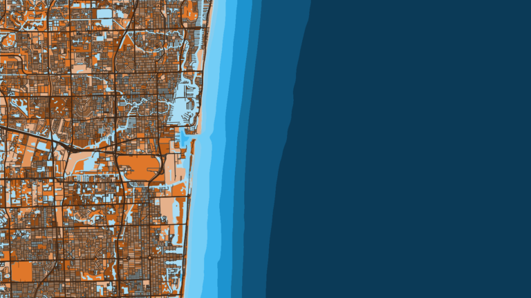
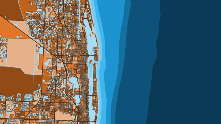
Hillsboro Inlet connects the Hillsboro River and the Intracoastal Waterway to the Atlantic at Pompano Beach. It sits on the southeast Florida coast, and the Gulf Stream flows north along the outer edge of the roughly 1 to 5 mile band you fish from the inlet. Fishing runs year-round, and winter sailfish tend to define the port. This Pompano Beach, FL Offshore Fishing Guide covers where to launch, how the inlet tends to behave, and what runs through the year.
Targets here include sailfish, mahi-mahi and kingfish, along with wahoo, blackfin tuna and mutton snapper.
Access and navigation
Public ramps and marinas near the inlet:
- Alsdorf Park Boat Ramp – Broward County public ramp in Pompano Beach on the Intracoastal Waterway.
- Pioneer Park (Deerfield Beach) – ramp access to the Hillsboro Canal and the Atlantic, trailer parking $1 per hour.
- Hillsboro Inlet Fishing Center – marina at Hillsboro Inlet.
- Lighthouse Point Yacht Club Marina – marina in Lighthouse Point, dockage terms on the club’s site.
- Sands Harbor Marina – fuel dock, live bait, ice, dockage to 125 ft.
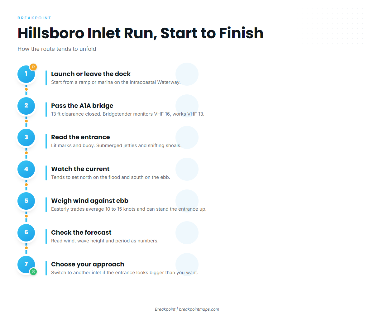
The route out runs from the Intracoastal Waterway, under the Route A1A bascule bridge, then through the entrance. The bridge has 13 feet of clearance when closed. The bridgetender monitors VHF 16 and works VHF 13. Past the bridge, the flood is reported to reach 5 to 6 knots. The entrance channel is marked by lights, daybeacons and a lighted entrance buoy. The jetties are submerged at the entrance. Rocky reefs are reported north and south of the entrance lights, and the southern reef dries at its south end at low tide. Shoaling to about 1 foot has been reported between Lights 1 and 2. The details are in NOAA Coast Pilot 4, Chapter 10.
Current tends to set north across the channel on the flood and south on the ebb. Easterly trade winds are common here, averaging 10 to 15 knots, and an ebb running against them can stand the entrance up. Reported shoal depths shift, so use the current chart and the Local Notice to Mariners as the reference.
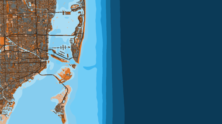
Port Everglades to the south is the alternative if you want a deeper approach. See Fort Lauderdale for that side of the coast; the Coast Pilot also shows fish havens between the two inlets. To the north, Boynton Inlet may be an option if you are running up the coast.
On arrival, look at the water and read the NWS Miami coastal waters forecast. NDBC station LKWF1 at Lake Worth Pier is the nearest listed observation. Read wind, wave height and period as numbers, and keep in mind that a forecast is only a forecast. If the entrance looks bigger than you want, switch approaches.
Fishing conditions
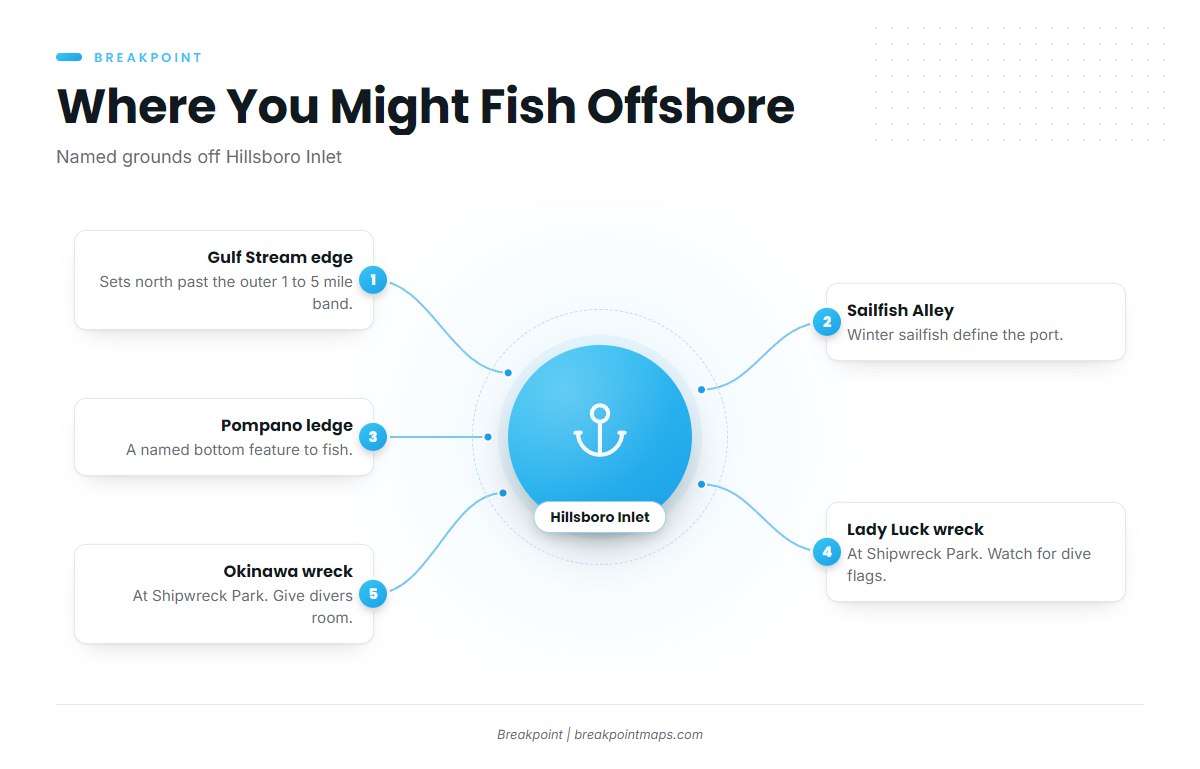
The Gulf Stream sets north along the outer edge of the 1 to 5 mile band, and pelagics follow its edge. For the wider picture, see the Atlantic Southeast. Before you run, you can read the Stream edge and weedlines on the OBS SST and Chlorophyll layers in Breakpoint. Chart layers are not for navigation.
Named grounds:
- Sailfish Alley
- Pompano ledge
- The Lady Luck and the Okinawa, both wrecks at Shipwreck Park
Shipwreck Park draws divers, so watch for dive flags and give them room. Size, bag and season rules come from FWC, the Florida Fish and Wildlife Conservation Commission. Check them before you fish.
Winter
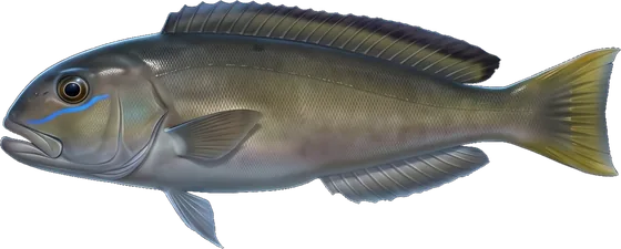
Sailfish, king mackerel, wahoo, blackfin tuna, cobia, mutton snapper, golden tilefish and red grouper tend to run. Sailfish are the main draw, and Sailfish Alley is where to look for sailfish off the Atlantic Southeast.
Spring
Mahi-mahi start showing along weedlines. Kingfish, blackfin tuna, sailfish, wahoo and cobia also tend to run, and golden and blueline tilefish sit deep.
Summer
Mahi-mahi, wahoo and blackfin tuna run offshore. Snapper are on the reefs and wrecks. Tarpon, golden and blueline tilefish and red grouper are also present.
Autumn
Kingfish tend to run alongside wahoo, returning sailfish, blackfin tuna and mahi-mahi. Cobia, snapper and grouper are also present.