
About La Push
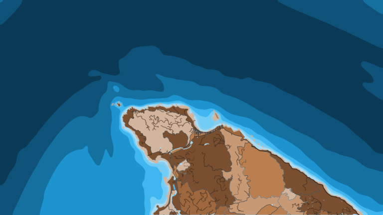
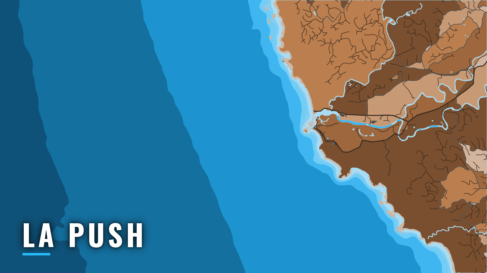
La Push sits just inside the Quillayute River mouth on the Quileute reservation, on the north Olympic coast of Washington. WDFW describes it as the only direct access point for Marine Area 3, which runs from the Queets River north to Cape Alava.
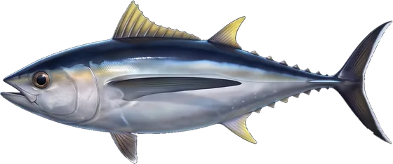
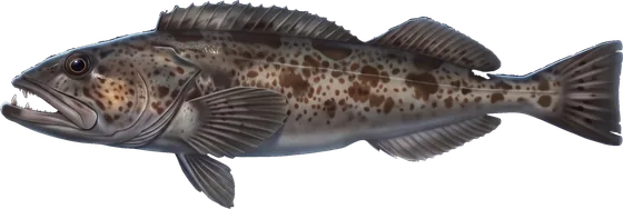
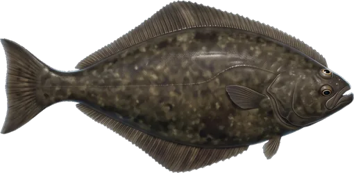
The fishing runs mainly March to October. Anglers target Pacific halibut, lingcod, black rockfish and other rockfish, Chinook and coho, and albacore, the salmon, bottomfish and albacore that define the coast. This guide covers how to get out, how the bar tends to behave, and what the grounds offer by season.
Access and navigation
La Push has one launch, one marina and one entrance. The sections below cover the facilities, the route over the bar, and how to read conditions before you commit.
Launch and moorage
Boats launch at the Quileute Marina ramp in La Push. The same tribal marina handles moorage and fuel, which makes La Push workable as a base for longer runs. The port is on Quileute Nation land, so the marina’s rules apply to launching, parking and moorage. Check in at the harbor office before you launch.
The Quillayute River entrance
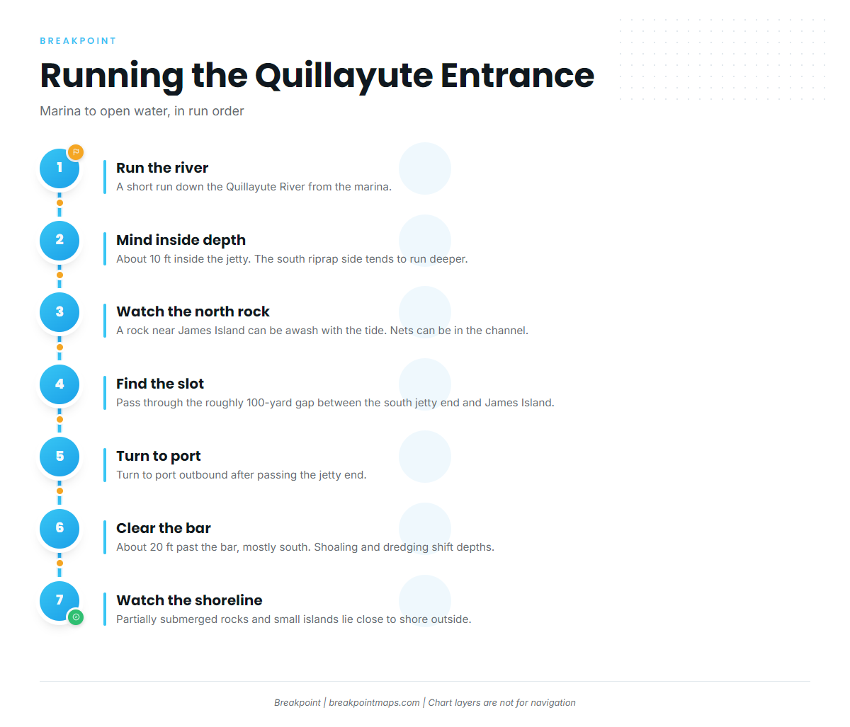
The entrance is a single narrow slot, roughly 100 yards wide, between the end of the south jetty and James Island.
The route, in run order:
- Run a short way down the river from the marina.
- The channel can be about 10 ft deep inside the jetty, with the middle to south side along the riprap described as deeper.
- A rock on the north side near James Island can be awash depending on tide, and nets can be in the channel.
- Pass between the jetty end and James Island, then turn to port outbound.
- Past the bar the water runs about 20 ft deep, mostly south.
- Partially submerged rocks and small islands lie close to shore outside.
Bar depths shift with shoaling and dredging, so the chart might not match the channel on the day.
How the entrance tends to behave. Because the slot is narrow, it tends to be most demanding in a strong southerly. South to southwest swell, more common in winter, drives into the south shore of James Island and can reflect off the island, the jetty and the rocks back toward the channel.
On the ebb, river outflow adds to the falling tide and slows incoming swell, so waves can stand up steeper and more confused. Tidal flows are larger around new and full moon. Slack water tends to lag high and low tide by roughly 1 hour for every 3 ft of tidal range. Fog recurs here and can hide the jetty end and the rocks off the entrance.
Coast Guard Station Quillayute River. The Coast Guard can restrict the bar over part or all of the regulated navigation area and set a minimum vessel size. The advisory sign near the Coast Guard boathouse shows flashing lights when the bar is closed to crossing.
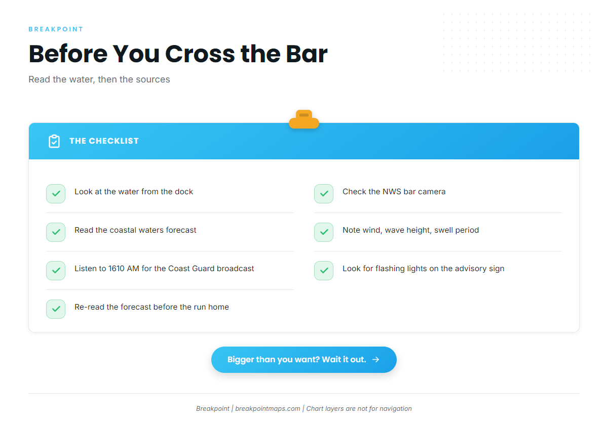
Where to read conditions:
- The NWS Portland bar camera page, which carries the bar camera and the Coast Guard observation.
- The NWS coastal waters forecast for wind, wave height and swell period.
- The Coast Guard bar and weather broadcast on 1610 AM.
- The rough bar advisory sign near the boathouse.
Alternative approach. There is one entrance and no alternate line. The only alternatives are to wait for slack or a better window, or not to cross.
Decision rule. On arrival, look at the water, the bar camera and the coastal waters forecast. If it looks bigger than you want, wait it out rather than crossing. Read the forecast again before the run home. Chart layers are not for navigation.
Fishing conditions
La Push fishes rocky nearshore reefs and offshore halibut water, with albacore when warm water comes within reach. The grounds sit inside the Olympic Coast National Marine Sanctuary.
Named grounds:
- Nearshore rock piles and reefs, including Carroll Island: lingcod and black rockfish.
- The Rock Pile: a rocky hump in about 130 ft.
- Umatilla Reef: reef water for bottomfish.
- Offshore halibut water, including Q buoy and SW-2: the halibut banks.
- The "C" yelloweye rockfish conservation area: 48°00′ N to 48°18′ N, 124°59′ W to 125°18′ W, closed to halibut and bottomfish.
WDFW sets the rules, and seasons change in-season, so read the Marine Area 3 regulations and the WDFW emergency rules page before fishing. A descending device must be aboard and rigged when you fish for or hold bottomfish or halibut.
Winter
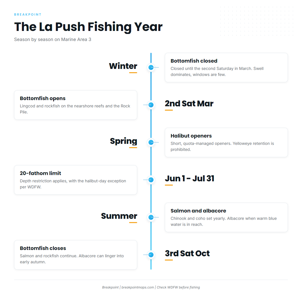
Bottomfish is closed until the second Saturday in March. South and southwest swell dominates the coast, and windows are few. Nothing here promises fishing, so read the bar camera and the forecast the same way you would at any other time of year.
Spring
Bottomfish opens on the second Saturday in March. Lingcod and rockfish fish the nearshore reefs and the Rock Pile.
Pacific halibut opens on short, quota-managed openers, and the fishery closes when the quota is taken. Check the WDFW halibut seasons page for dates. Yelloweye retention is prohibited, and the "C" closure applies.
Summer
The 20-fathom bottomfish depth restriction applies June 1 to July 31, with an exception on halibut days per WDFW. Chinook and coho seasons are set each year by WDFW, so check the area page.
Albacore are possible when warm blue water comes within reach. There is no albacore daily or possession limit. Before committing to a long run, check the OBS SST and Chlorophyll layers in Breakpoint for warm, clean water. Satellite SST can be blocked by cloud, which is common on this coast, and chart layers are not for navigation.
Fog is common, so plan the return crossing with it in mind.
Autumn
Salmon and rockfish continue. Bottomfish closes on the third Saturday in October. Albacore can linger into early autumn when conditions allow.