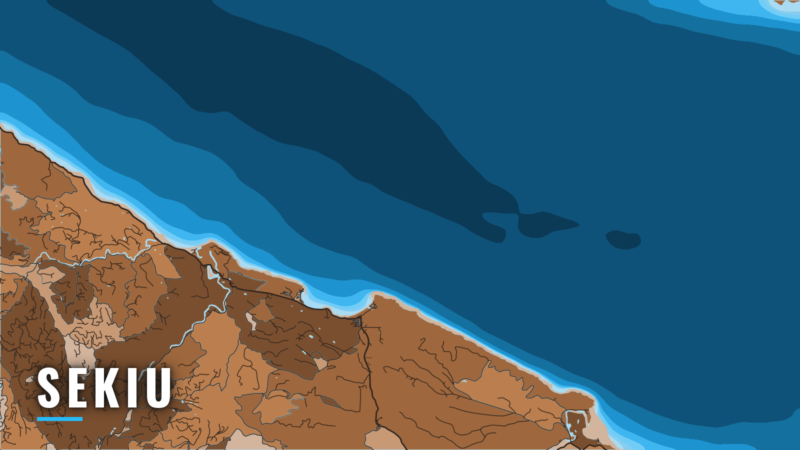

About Sekiu
Sekiu sits at the west end of Clallam Bay on the western Strait of Juan de Fuca, in WDFW Marine Area 5 (Sekiu and Pillar Point). It is one of the Strait ports in Washington, a resort fishing village where boats launch at a state ramp or moor at resort docks.
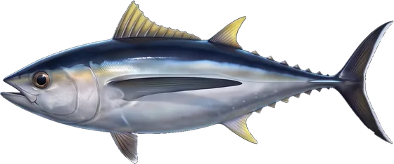
The water fishes through the year. Winter brings blackmouth, spring brings halibut, lingcod and rockfish, summer brings Chinook, and autumn brings coho. Most of the salmon traffic here is Chinook and coho bound for inside waters. The sections below cover getting in and out, how the approaches tend to behave, and which grounds fish in each season.
Access and navigation
Every Sekiu trip starts by crossing Clallam Bay. Most decisions turn on Slip Point to the east and Kydaka Point to the west.
Launching and moorage
Sekiu has one state ramp, a county ramp to the east, and two resorts with docks. Plan fuel and moorage before the trip, and pick the ramp that puts you closest to the water you plan to fish.
- Sekiu Water Access Area: The Sekiu Water Access Area launch is the WDFW ramp, the former Mason’s/Olson’s ramp. It has four lanes and parking for trailers and vehicles. There is no fee beyond a Discover Pass or WDFW Vehicle Access Pass. Check the posted rules for overnight parking.
- Pillar Point: Pillar Point County Park is the Clallam County ramp toward the east end of Marine Area 5.
- Mason’s Resort: Formerly Olson’s. It offers moorage and lists fuel.
- Curley’s Resort: It offers moorage.
Entrance and approaches
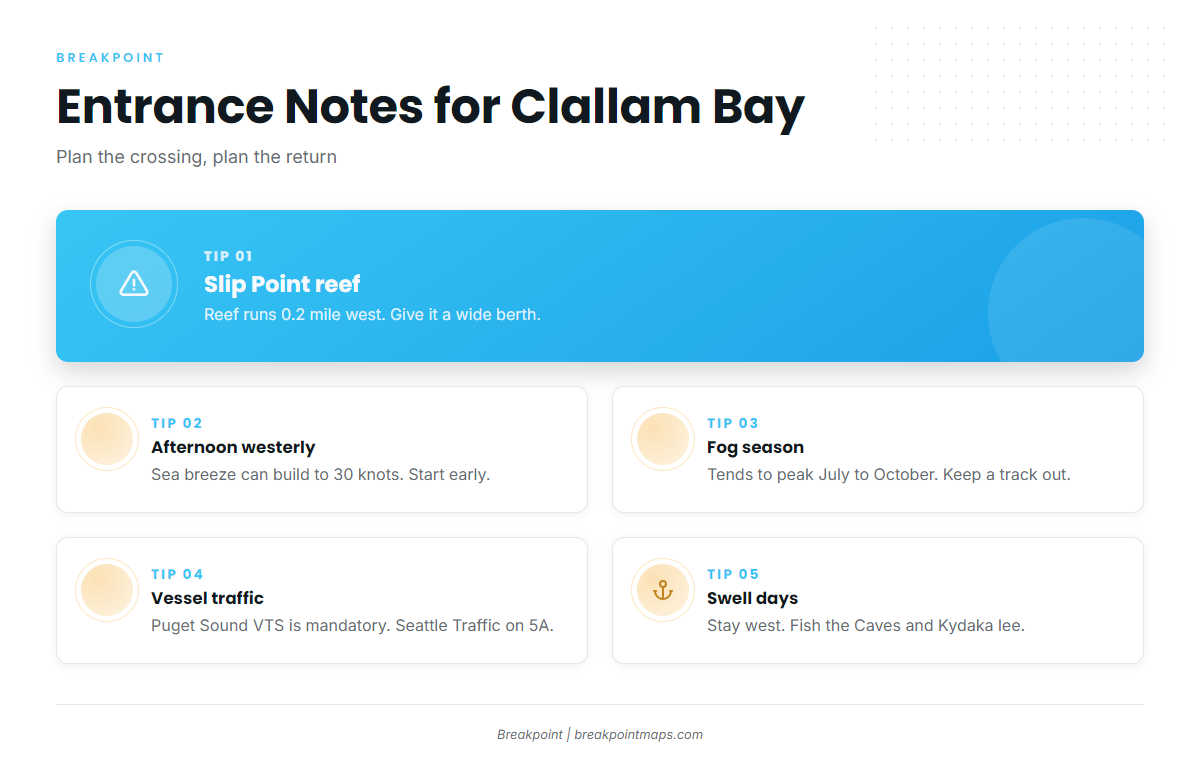
Slip Point forms the east side of Clallam Bay. A reef extends 0.2 mile west of it, marked by a bell buoy. The NOAA U.S. Coast Pilot 10 advises a berth of more than 0.2 mile when entering the bay.
Strong currents run through Marine Area 5. Swell from the west and northwest can reach the area, most often in winter and spring. Wind, swell or tidal movement might stir up the water near Slip Point, and the same can happen on the west side of Kydaka Point near the Hoko River mouth. When an ebb runs against a westerly, the seas off the points can stand up and shorten.
In summer, winds in the Strait blow mainly from the southwest through northwest. This is a strait-wide pattern, not a Sekiu figure. A late-afternoon sea breeze can raise them to as much as 30 knots, while an early-morning land breeze opposes the flow. The westerly tends to build against the run home, so a late start can mean a wet return.
Fog tends to be at its worst from about July through October. It is most frequent at the west end of the Strait, where visibility drops below 0.75 mile on about 55 days a year. Fog can close in quickly, so a track out on the plotter is worth having.
Traffic separation schemes cover the Strait. The Puget Sound vessel traffic service is mandatory, and vessels can reach Seattle Traffic on VHF-FM channel 5A.
If the westerly or swell looks like it will be an issue, stay at the west end of the bay. Fish the Caves and the lee behind Kydaka Point, where WDFW notes some protection, and skip the run east past Slip Point toward Pillar Point.
Reading conditions
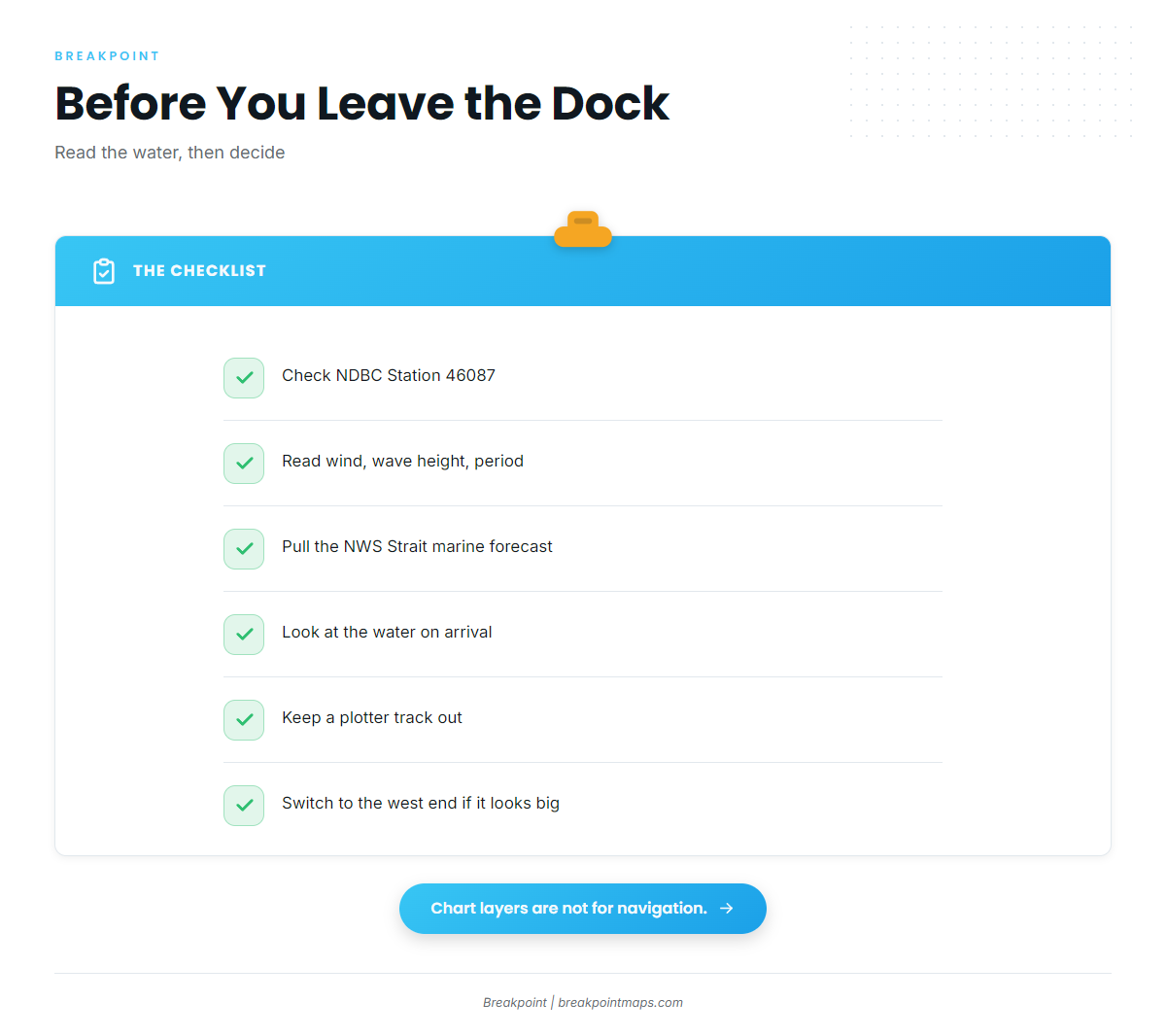
NDBC Station 46087 buoy is the Strait of Juan de Fuca traffic separation buoy, 6 NM north of Cape Flattery. It reads the western entrance rather than Clallam Bay itself, so treat it as a view of what is coming up the Strait.
The NWS marine forecast for the Strait is the official forecast. Read wind, wave height and period together; a moderate swell with a short period feels very different from the same height with a long one.
Check the water and the official forecast on arrival. If conditions look bigger than you want, switch to the inshore option at the west end of the bay.
Fishing conditions
Seasons, quotas and bag limits for Marine Area 5 are set by WDFW and can change in-season. Check the WDFW Marine Area 5 page before fishing. Halibut lawfully kept in Area 5 may be landed in Area 4 at Neah Bay. Outer-coast bottomfish seasons, such as those at La Push in Marine Area 3, are set separately from Marine Area 5.
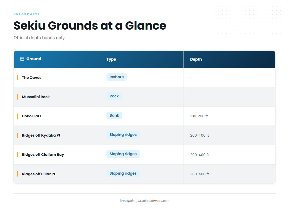
The named grounds around Sekiu:
| Ground | Type | Depth |
|---|---|---|
| The Caves | inshore | – |
| Mussolini Rock | rock | – |
| Coal Mine | – | – |
| Slide | – | – |
| Cod Fish Bay | – | – |
| Eagle Bay (off the Hoko River mouth) | – | – |
| Hoko Flats | bank | 100 to 200 ft |
| Ridges off Kydaka Point, Clallam Bay and Pillar Point | sloping ridges | 200 to 400 ft |
| Pillar Point | – | – |
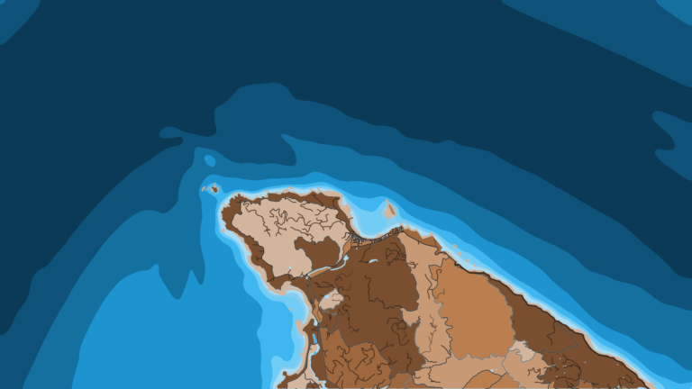
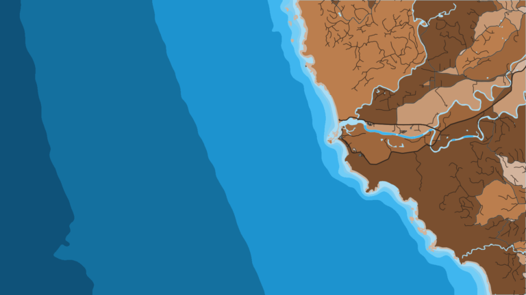
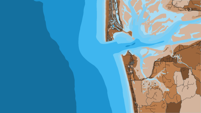
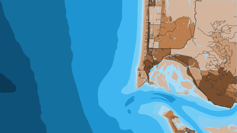
Check these grounds against Chart Contours in the Breakpoint app. Watch OBS SST and Chlorophyll for summer and autumn bait edges. Chart layers are not for navigation.
Winter
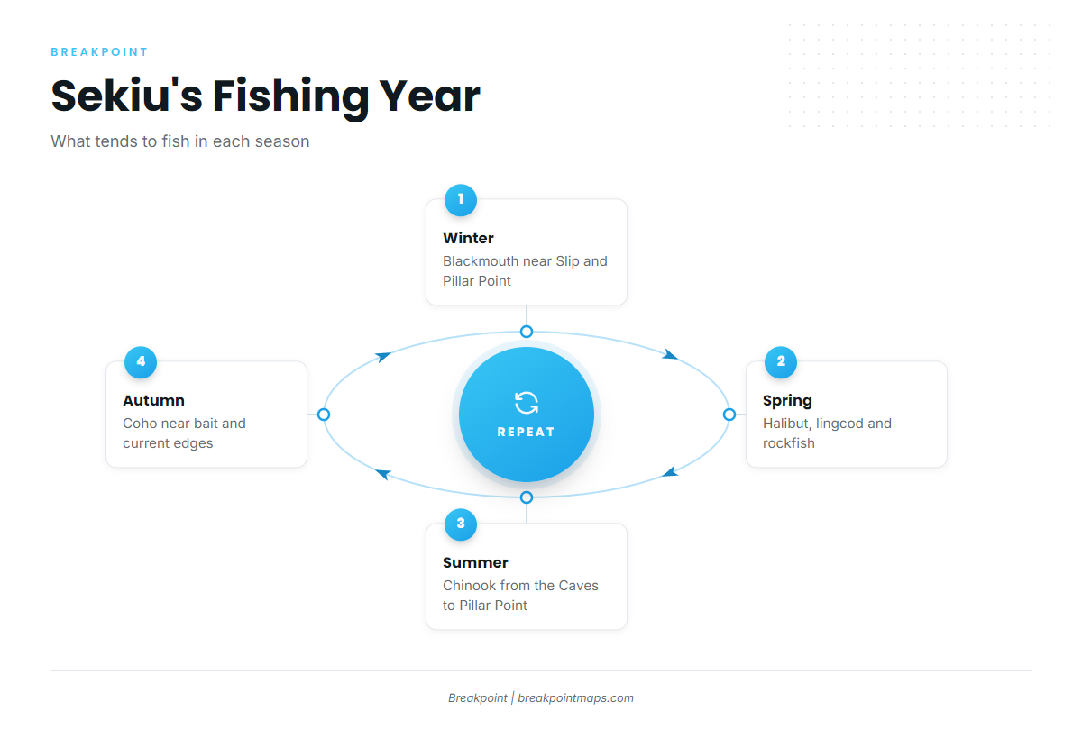
Resident Chinook, called blackmouth, are the winter fish around Sekiu. Fishing tends to wax and wane with the weather and with herring and sand lance. Slip Point and Pillar Point are winter water, and the winter swell noted above can reach both.
Bottomfish rules in Marine Area 5 vary by season, so check WDFW before you go.
Spring
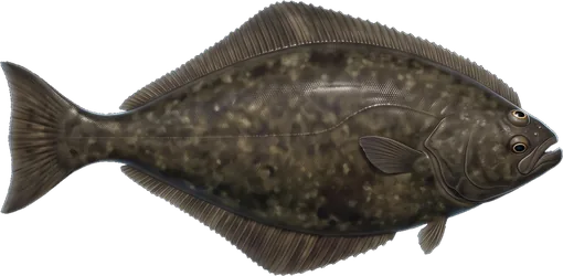
Spring is halibut season, and the fish are found on two kinds of ground. Halibut work Hoko Flats in 100 to 200 ft, west-northwest of the Hoko River mouth toward the Sekiu River. They also work the sloping ridges in 200 to 400 ft off Kydaka Point, Clallam Bay and Pillar Point. The Kydaka ridges sit near the stirred-up water off the west side of the point.
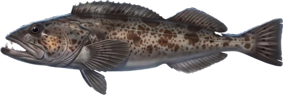
Lingcod and rockfish hold off the rocky points around Slip Point and Pillar Point. Blackmouth fishing continues into spring around Sekiu. Openers are set by WDFW.
Summer
Chinook work the line from the Caves past Mussolini Rock to Slip Point and on toward Pillar Point. Fog season and the afternoon westerly tend to favor mornings. The same sea-breeze and ebb-against-wind behavior described in the navigation section applies on the run home.
On a swell day, the Caves are the in-bay option.
Autumn
Coho are the autumn fish. They tend to hold near bait and current edges, and OBS SST and Chlorophyll can help narrow the search. Fog season runs through about October, so keep the plotter track and radio habits from summer.