Spring
Offshore
Wrecks and early sea bass on deeper structure
Nearshore
Striped bass, blackfish (tautog) and early black sea bass




New York’s offshore fishing runs from New York Harbor east to Montauk Point, with the Hudson, Block and Atlantis canyons beyond. Geography decides where you fish, the inlets decide which port you run from, and the 3-mile line decides whose rules apply. NYSDEC sets the rules in state waters. NOAA Fisheries sets them in federal waters, through its Greater Atlantic Regional Fisheries Office (GARFO) and Highly Migratory Species (HMS) division.
This page covers the ports, the seasons, and the rules for private boats, charters and tournament crews. By the end you should know which stretch suits the trip, which port reaches it, what runs when, and which rulebook applies. If you’re fishing elsewhere, we also cover fishing pages for other U.S. coasts.
 By Breakpoint Team
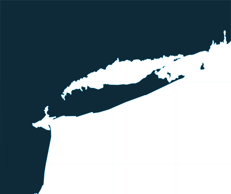
The coast
The coast reads west to east. Each stretch is built differently, which determines what you fish and where you leave from.
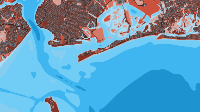
New York Harbor and the Raritan Bight. The Harbor, the Upper Bay and the edge of the New York Bight meet here. It is a striped bass and inshore fishery, with wrecks offshore. Parts of Raritan Bay, Sandy Hook Bay and the Upper Bay are New Jersey waters, so the boundary matters before you drop a line. The regulations sections give the details.
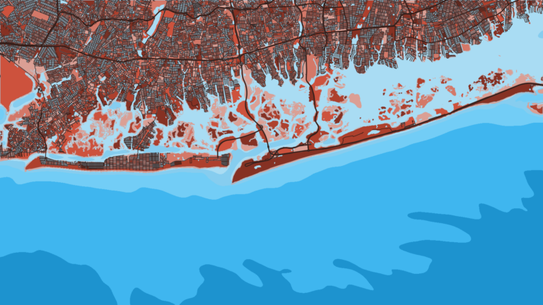
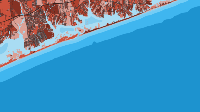
Western South Shore: Jones Inlet and Fire Island Inlet. These barrier-beach inlets open straight onto the ocean. Party and charter fleets work out of them for fluke, sea bass and wrecks.
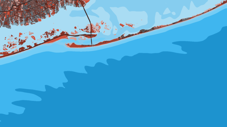
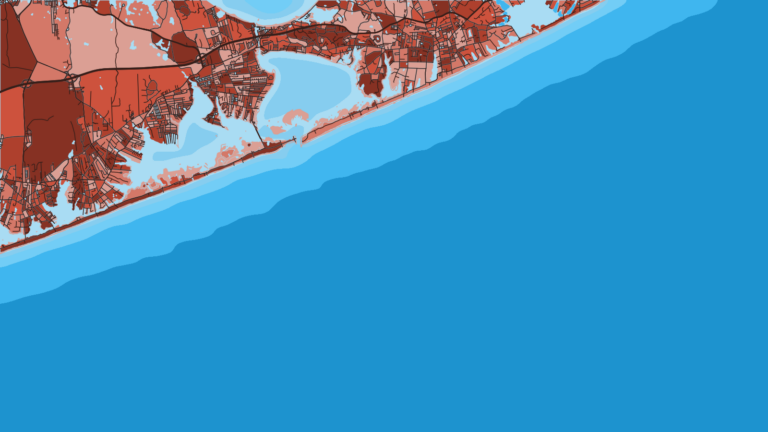
Central and East South Shore: Moriches Inlet and Shinnecock Inlet. Shinnecock is the easternmost inlet on the South Shore. Both are jumping-off points for summer tuna and pelagic trips toward the canyons.
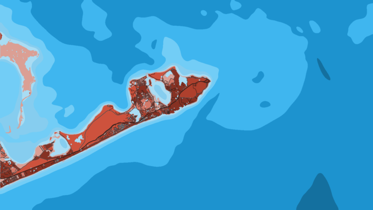
Montauk and the East End. Montauk is the tip of the South Fork, between the open Atlantic and Block Island Sound. It is known for deep-water bottom fishing, tuna and fluke.
North Shore and Long Island Sound. This is a protected, mainly nearshore fishery, with porgy, blackfish (tautog) and striped bass as the staples.
The canyons: Hudson, Block and Atlantis. These shelf-edge canyons mark where the deep-water run ends. They hold tuna, sharks and tilefish on the deep edges, and yellowfin and mahi show up when warm Gulf Stream eddies push in. Canyon trips are long runs offshore, so check the NWS marine forecast and the offshore buoys for wind, wave height and period before you commit.
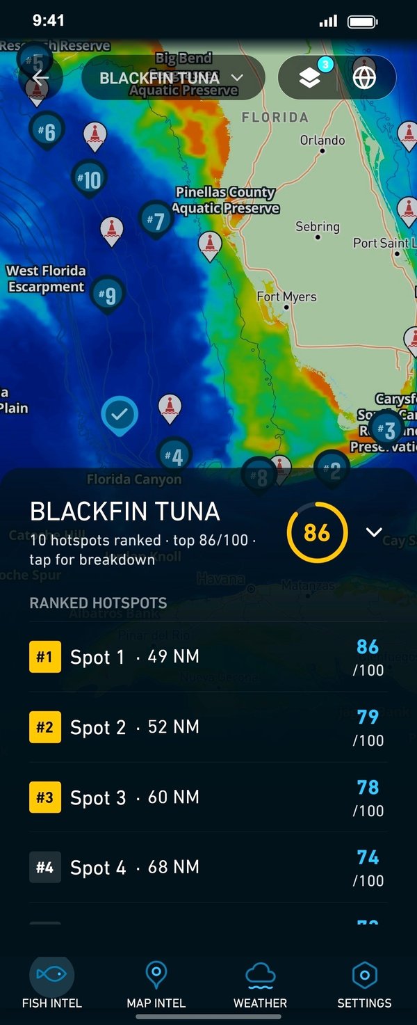
Chart Contours shows the canyon edges, and OBS SST and Chlorophyll show where warm, clean water is pushing onto them. Cloud blocks satellite passes, and chart layers are not for navigation.
Ports
Each stretch below lists its ports in west-to-east order. Tap a number on the map, or a stretch below, to zoom in on its ports.
1 port
Brooklyn’s fleets fish the Harbor, the Bight wrecks and the inshore grounds without an ocean inlet run.
2 ports
Two barrier-beach inlets give the western fleets quick ocean access.
2 ports
The eastern South Shore inlets put boats closer to the summer tuna grounds and the canyons.
1 port
Montauk sits at the tip, with deep water, Block Island Sound and the eastern canyons all within reach.
Seasons
What tends to be around each season. Open seasons are covered under Regulations.
Offshore
Wrecks and early sea bass on deeper structure
Nearshore
Striped bass, blackfish (tautog) and early black sea bass
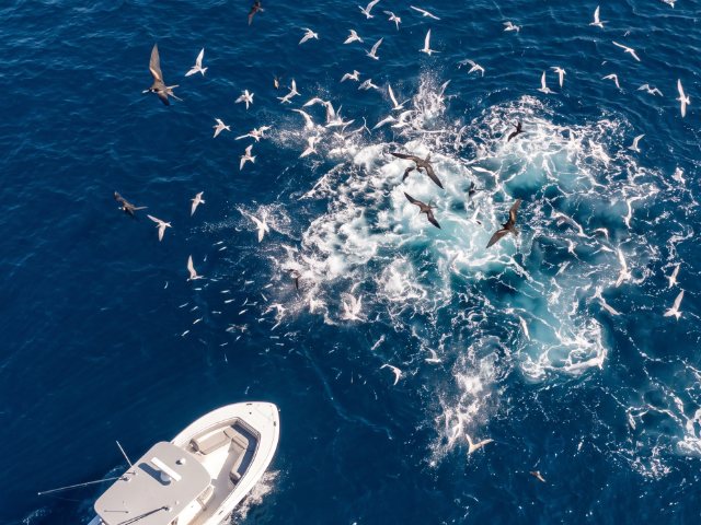
Offshore
Bluefin tuna and sharks, plus yellowfin and mahi at the canyons and warm Gulf Stream eddies
Nearshore
Fluke, black sea bass and porgy (scup)
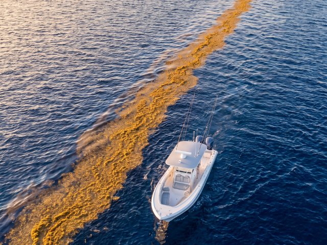
Offshore
Bluefin tuna and late canyon fishing
Nearshore
False albacore, bonito and the striper run
Offshore
Tilefish on the deep canyon edges. Private boats need the free federal tilefish vessel permit
Nearshore
Wrecks for cod and pollock in state waters during the open cod season
Seasons shift with water temperature, so read this table as a pattern rather than a calendar.
Cod retention is a state-waters fishery, because federal waters off New York are closed to cod. Full detail is under Regulations below. For the wider picture, see how the Northeast season moves from the Mid-Atlantic to the Gulf of Maine.
Temperature breaks and color edges shift with wind and current. In Breakpoint, these three layers show those edges and the bottom structure near them.
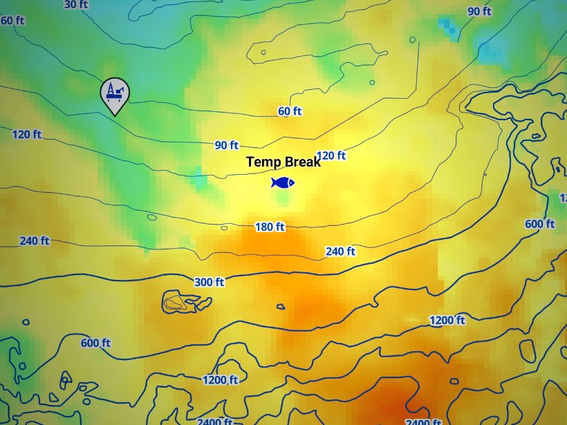
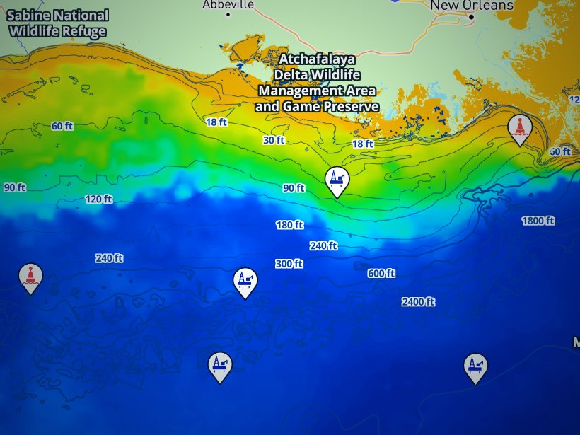
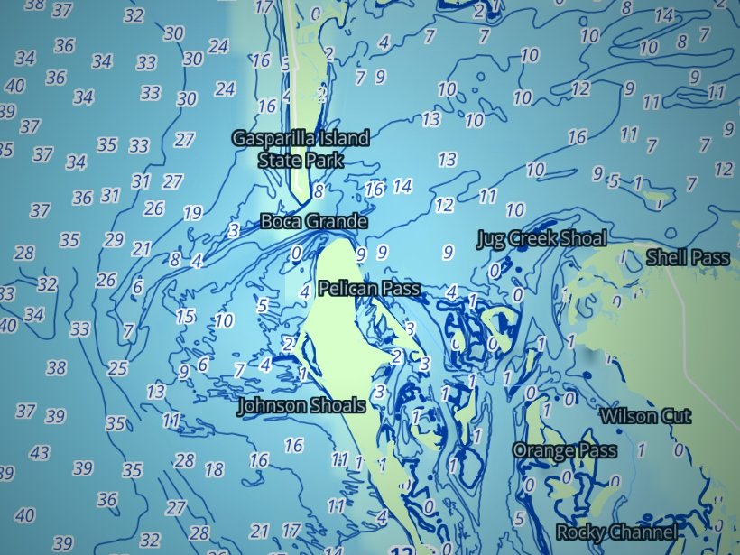
Clouds block satellite SST passes, so some days show gaps. Chart layers are not for navigation.
Charters and tournaments
Regulations
Full state and federal rules by species are on our New York regulations page. For state waters, go to the NYSDEC recreational fishing regulations.
State waters run from shore to 3 miles, and federal law fixes the boundary at 3 geographical miles for the original coastal states. Federal waters, the exclusive economic zone, run from 3 to 200 miles.
State waters cover the Atlantic, Long Island Sound, the embayments, and the tidal Hudson south of the Governor Mario M. Cuomo Bridge. Several agencies split the work:
The rule follows the water you fish, and sometimes the state you land in. Three examples:
One edge case: Raritan Bay, Sandy Hook Bay and the Upper Bay are New Jersey waters, so the rules and the registry there are New Jersey’s.
Anglers 16 and older fishing in marine waters must enroll. The registry has no fee, and enrollment lasts 365 days. You can enroll online through DECALS, through a license agent, or by phone at 1-866-933-2257.
A New York registration is valid in federal waters, Connecticut waters and Rhode Island waters. In Raritan Bay, Sandy Hook Bay and the Upper Bay, New Jersey’s registry is required.
An HMS permit is required to fish for tuna and sharks. HMS permits are vessel permits that apply in both state and federal waters, so tuna fishing inside 3 miles needs the HMS permit in addition to the registry. You can apply for an HMS permit online. For bluefin sizes, limits and categories, go to NOAA HMS.
Size and possession numbers are on the regulations page.
Licensed for-hire boats carry their own federal permits. Customers aboard a licensed party or charter boat do not need the registry.
Limits change by season and quota, so check NYSDEC and NOAA HMS before every trip.
FAQ
Official answers come from the state wildlife agency and NOAA Fisheries. Check them before you go.
No. Anglers aboard a licensed party or charter boat do not need the NY Recreational Marine Fishing Registry. Private boat anglers 16 and older must enroll. It is free, through NYSDEC.
Yes. Tuna fishing in New York state waters needs a NOAA HMS permit plus the registry. HMS permits are vessel permits that apply in both state and federal waters.
State waters end 3 miles from the coastline. Federal waters run from 3 to 200 miles. NYSDEC sets the state rules, and NOAA Fisheries sets the federal rules.
No. Federal waters are closed to striped bass. The one exception is Block Island Sound, where possession is allowed only in continuous transit with no fishing in the EEZ. For state waters, check the NYSDEC slot rule.
The rules of the state where you land. Federal measures for fluke and black sea bass are waived through conservation equivalency, so New York’s measures apply if you land in New York.
No. Raritan Bay, Sandy Hook Bay and the Upper Bay require New Jersey’s registry. A New York registration is valid in federal waters, Connecticut waters and Rhode Island waters. Rules differ by state, so see our other state pages.
The boat needs an HMS permit. All shark tournament anglers must use non-stainless, non-offset circle hooks with bait. Check the event’s own rules too, since organizers can add requirements.
On our New York regulations page, and at NYSDEC and NOAA Fisheries. Limits change by season and quota, so check them before each trip.
Ranked hotspots, live ocean layers and offline maps.
Open Breakpoint