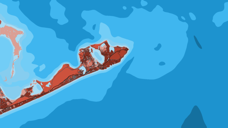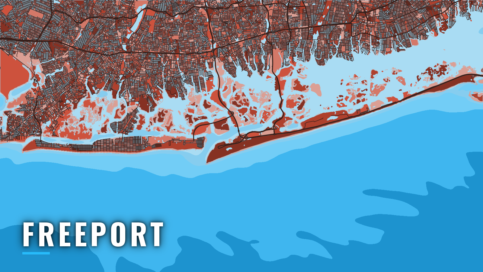

About Freeport
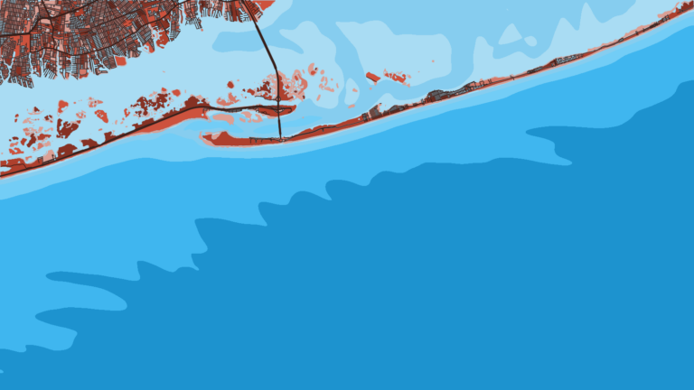
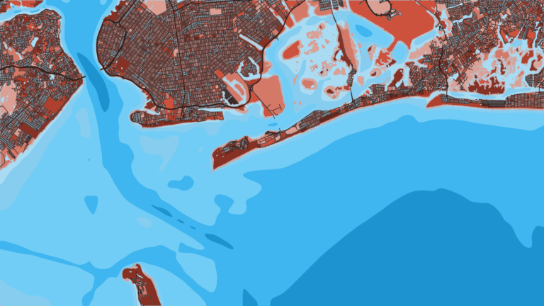
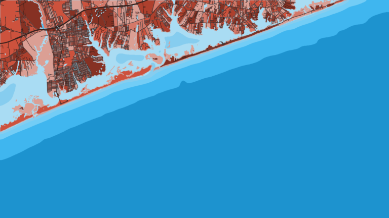
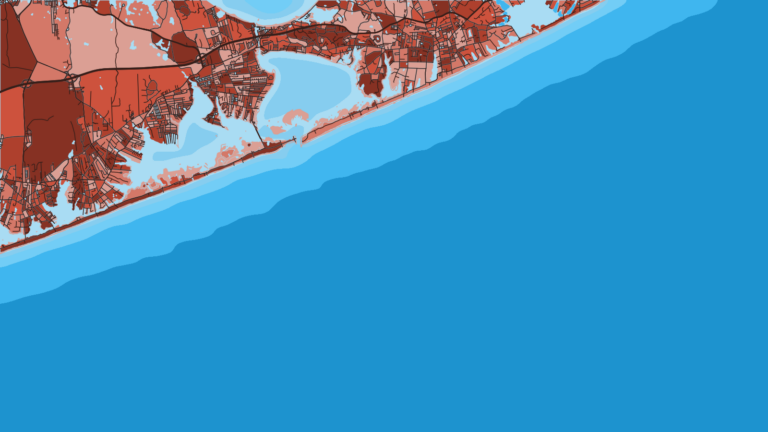
Freeport reaches the Atlantic through Jones Inlet. The port sits on the north shore of Baldwin Bay inside Hempstead Bay on Long Island’s South Shore, and boats run south through Long Creek to the inlet. Party and charter boats berth along the Woodcleft Canal’s Nautical Mile. Fishing runs year-round, with summer and autumn as the peak. Anglers here target fluke, black sea bass, porgy, striped bass, bluefish and tuna, and tautog carries into winter.
Access and navigation
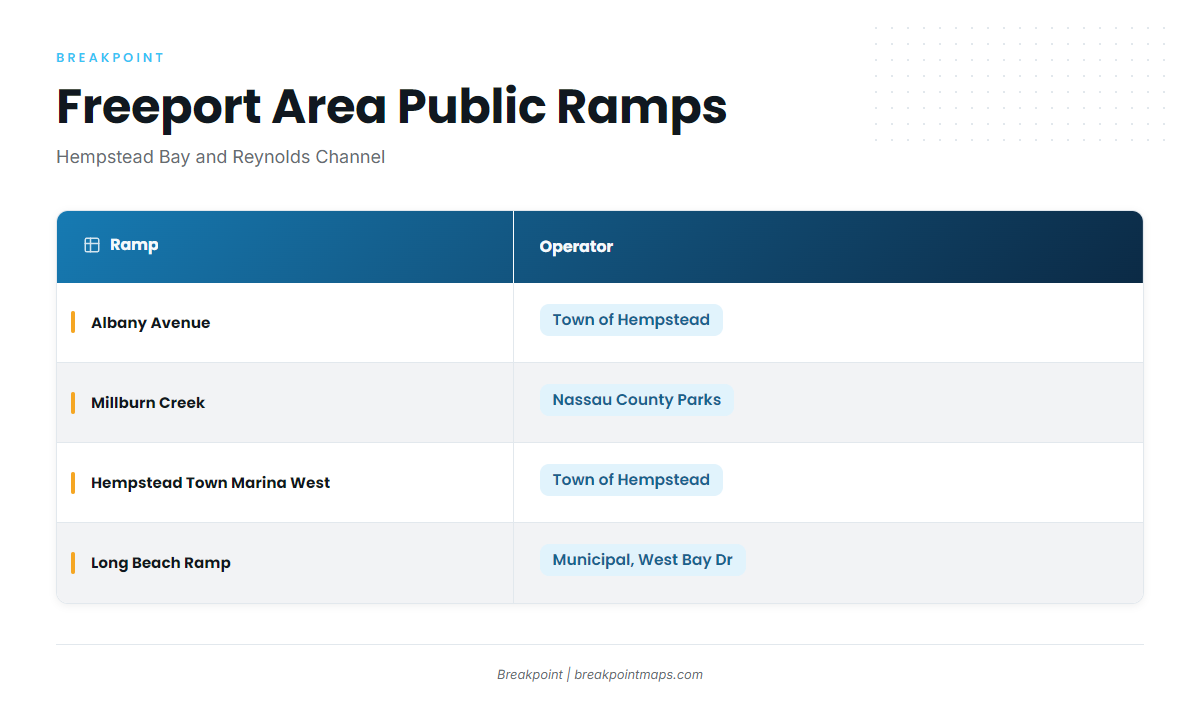
Four public ramps and marinas put you on Hempstead Bay or Reynolds Channel:
- Albany Avenue Boat Ramp – Town of Hempstead ramp in Freeport
- Millburn Creek Boat Ramp – Nassau County Parks ramp in Freeport
- Hempstead Town Marina West – Town of Hempstead, Lido Boulevard, Point Lookout, close to the inlet
- Long Beach Ramp – municipal ramp on West Bay Drive, on Reynolds Channel
Each operator sets its own fees, permits and residency rules, so check with them before you trailer in.
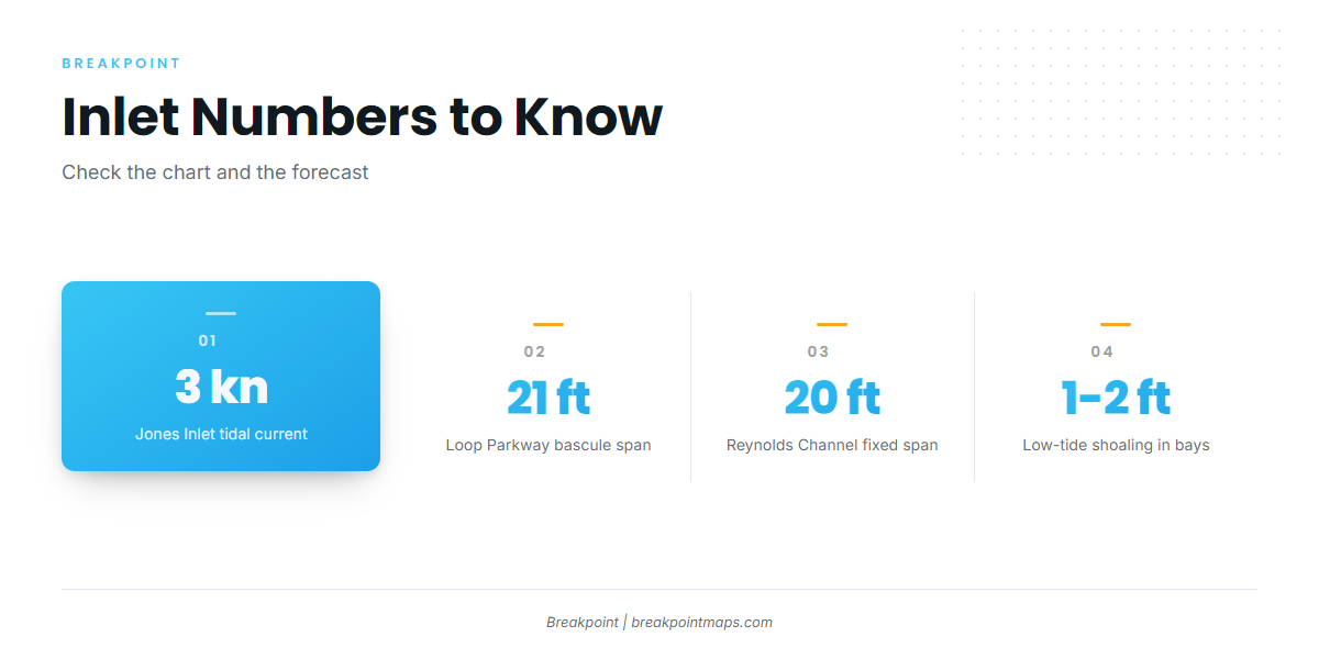
The inside route has two fixed clearances. The Long Creek route passes a Loop Parkway bascule span with 21 ft of clearance, and the channel above it, which leads north to Freeport, changes frequently. Reynolds Channel west of Jones Inlet passes under a fixed span with 20 ft of clearance between Alder Island and Point Lookout. Currents are strong in the western part of Reynolds Channel, and south shore bays and inlets can shoal to 1 to 2 feet at low tide.
Jones Inlet is the principal ocean entrance to Hempstead Bay. Its channel and depths change constantly, and it carries a tidal current of about 3 knots. The coast is open to weather from the south and southeast and somewhat sheltered from west through north. The inlet can stand up when the ebb meets southerly or southeasterly swell, and it tends to be worst when onshore wind runs against the ebb. Aids get moved to mark the best water, so the current chart and the Local Notice to Mariners are more reliable than memory. NOAA Coast Pilot 2, Chapter 10 covers this stretch of coast.
East Rockaway Inlet is the alternative. It lies about 8 miles west along Reynolds Channel toward Sheepshead Bay, and its aids are also moved periodically to mark the best water. To the east, Jones Inlet lies about 12 miles west of Fire Island Inlet, the Captree entrance.
On arrival, look at the water and check the official forecast. The relevant zones are ANZ355 (Sandy Hook NJ to Fire Island Inlet NY, out 20 NM) and ANZ345 (South Shore Bays from Jones Inlet through Shinnecock Bay), both on the NWS New York marine forecasts page. NDBC Station 44025 observations come from a buoy 30 NM south of Islip. Read the wind, wave height and period numbers yourself, and if the inlet looks bigger than you want, switch approaches.
Fishing conditions
How the Northeast season moves sets the pace for Freeport, and the offshore grounds here are mostly structure. The NYSDEC artificial reef map lists Hempstead Town Reef, Fishing Line (McAllister Grounds) Reef and Atlantic Beach Reef off this stretch. For deep-water bottom fishing beyond the reefs, see our golden tilefish guide.
NYSDEC sets the saltwater rules, so check its regulations for size, bag and season figures. New York also requires registration in its recreational marine fishing registry before you fish in marine waters. The seasons below describe what tends to be on the grounds.
Winter
Tautog and cod hold on the wrecks and reefs in winter. Waves of 8 feet or more are most likely this time of year, and they may be met near the coast about 6 to 10 percent of the time. Check ANZ355 and buoy 44025 for the actual wind, wave height and period before you commit to the inlet.
Spring
Tautog and cod carry over, and whiting, ling and mackerel join them. Striped bass follow in the bays and along the beaches; our striped bass guide covers the species.
Summer
Summer has the widest mix: porgy, black sea bass, fluke, bluefish, striped bass, tautog and tuna. Sea bass and porgy sit on Hempstead Town Reef and Atlantic Beach Reef, and the black sea bass guide covers the species. Tuna fishing is covered in the bluefin tuna guide. Federal permits apply to bluefin, so check NOAA Fisheries before you go.
Before committing fuel offshore, open the OBS SST and Chlorophyll layers in Breakpoint to see where temperature edges and color changes sit. Cloud cover can block a satellite pass, and the chart layers are not for navigation. They won’t tell you where the fish are, but they help you decide where to look.
Autumn
Autumn brings tuna and bonito offshore, with bluefish and striped bass on the move and tautog, sea bass and porgy on structure. For tuna and bonito, see the Atlantic Northeast bluefin guide. The fall striped bass run is covered in our Northeast striped bass guide.