
About Captree
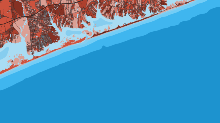
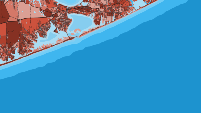
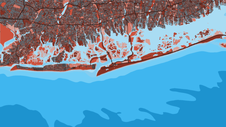
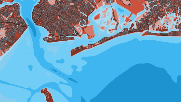
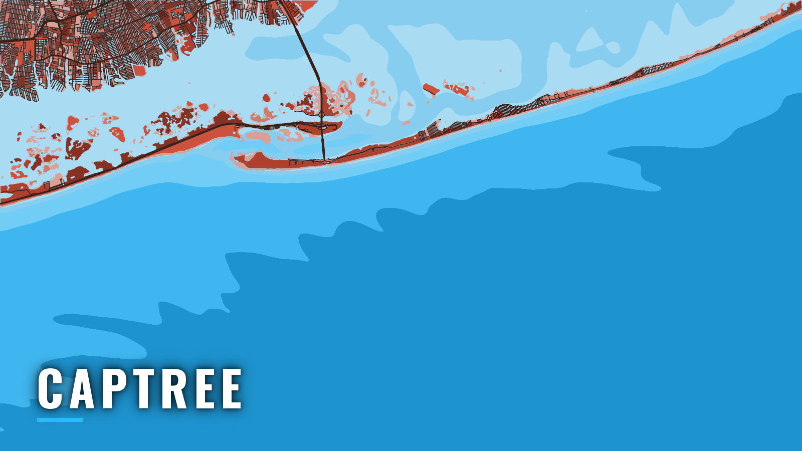
Captree sits at the east end of Jones Beach Island on Fire Island Inlet, with Great South Bay behind it and the Atlantic in front, on Long Island’s South Shore. Captree State Park is open year-round, and the main fishing runs from spring through fall for striped bass, fluke, black sea bass and bluefish inside and near the inlet. Offshore, the targets are bluefin tuna, yellowfin tuna and mahi. This guide covers where to launch, how the inlet behaves, and what each season offers.
Access and navigation
Public launch and services:
- Captree State Park boat launch and boat basin – a public ramp feeding the State Boat Channel, with a boat basin, bait and tackle shop, and marine fuel.
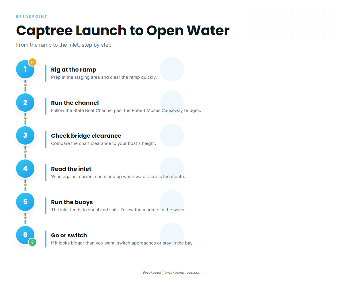
From the ramp, the run follows the State Boat Channel past the Robert Moses Causeway bridges toward Fire Island Inlet, with Great South Bay opening to the east. Compare the bridge clearance on the chart with your boat’s height before you go.
Rig your boat in the staging area and clear the ramp quickly. The NYSDEC boat launching guidance covers ramp etiquette in more detail.
Fire Island Inlet can be hard to read. An ebb running out against a south or onshore wind can steepen the bar and stand up white water across the mouth, especially when wind and tide clash. The inlet also tends to shoal and shift. Markers get moved, and plotter lines or older charts might not match the buoys in the water, so run the buoys as you find them rather than following the track from your last trip. Chart layers are not for navigation.
Nor’easters and passing offshore storms can make the inlet hard to pass. The west bar on the ocean side, close to the beach, is a short run from the mouth, but it sits where the bar breaks and carries the same wind-against-tide caveat.
Jones Inlet lies to the west and gives a second way to the ocean when Fire Island Inlet is breaking. It has its own bar and its own shoaling, so it needs the same check on arrival.
On arrival, look at the water and read the NWS coastal waters forecast covering Fire Island Inlet. Note the wind, wave height and period. If the inlet looks bigger than you want, switch approaches or stay in the bay.
Fishing conditions
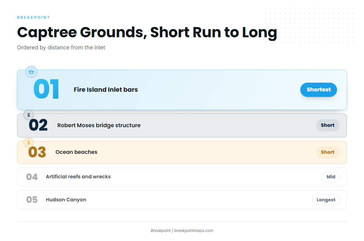
Grounds run from short hops to long hauls:
- The Fire Island Inlet bars
- The Robert Moses bridge structure
- The ocean beaches
- The artificial reefs and wrecks outside the inlet, where black sea bass hold on structure
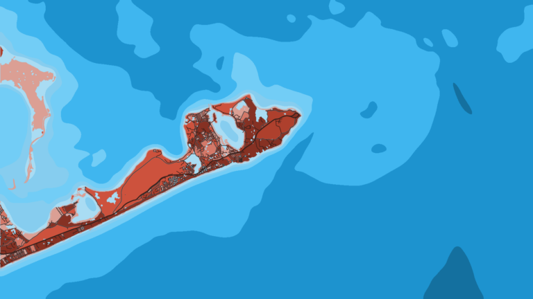
- Hudson Canyon for long offshore runs, where the canyon edge also holds golden tilefish on the bottom
For the wider picture, see Atlantic Northeast water and seasons.
NYSDEC sets the size, bag and season rules for striped bass, fluke, sea bass and blackfish. These change, so check NYSDEC before fishing. Register with NYSDEC’s free Recreational Marine Fishing Registry.
Winter
Winter fishing is limited, mostly blackfish and cod on wrecks and rough bottom outside the inlet. Fuel and park services may be reduced, so confirm with the park before the trip. Winter fronts can stand up the inlet, so check conditions on arrival every time.
Spring
Striped bass come first in spring, followed by fluke and bluefish. Blackfish open in a short spring window, so check NYSDEC for the dates. Sea Grant’s Long Island saltwater guide lays out the species pattern for the South Shore.
Summer
Summer brings fluke in the inlet and on the reefs, sea bass and porgy on structure, sharks, and tuna and mahi offshore. Threshers fish nearshore and makos farther out. Some years bluefin come close to shore, sometimes near the beach. Yellowfin are an offshore fish, and summer mahi gather around lobster pot buoys and weed lines. Plan the long runs around a forecast window rather than the calendar.
Autumn
Autumn brings striped bass and bluefish in the inlet and at the bridges, false albacore just outside, and sea bass and blackfish on structure. Bluefin stay through autumn. The best water ties back to the same inlet bars and bridge structure, and fall fronts bring the wind-against-tide setup back. The fluke-to-striper changeover follows NYSDEC season dates, so check there.
Before an offshore run, read OBS SST and Chlorophyll in the Breakpoint app. Temperature edges and color breaks help decide where to look first. Cloud can block an SST pass, so check the timestamp and treat a gap as unknown water. The layers will not promise fish, only a better decision about where to look.