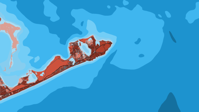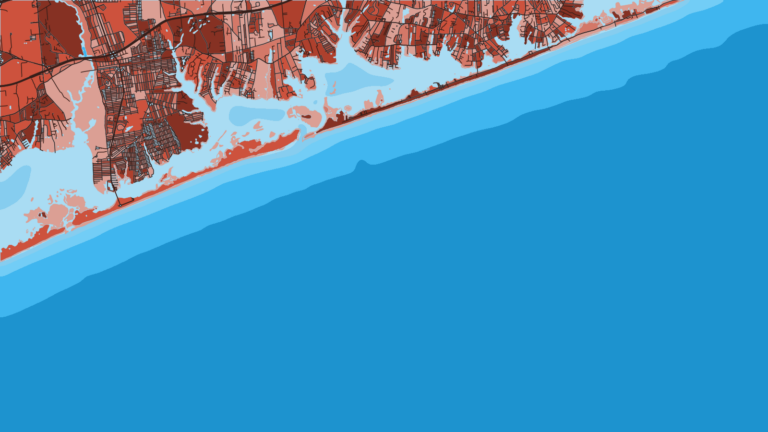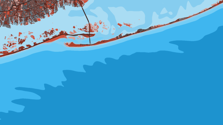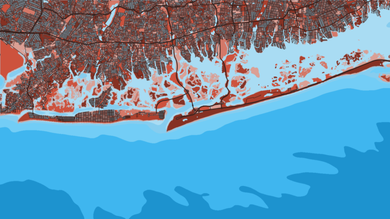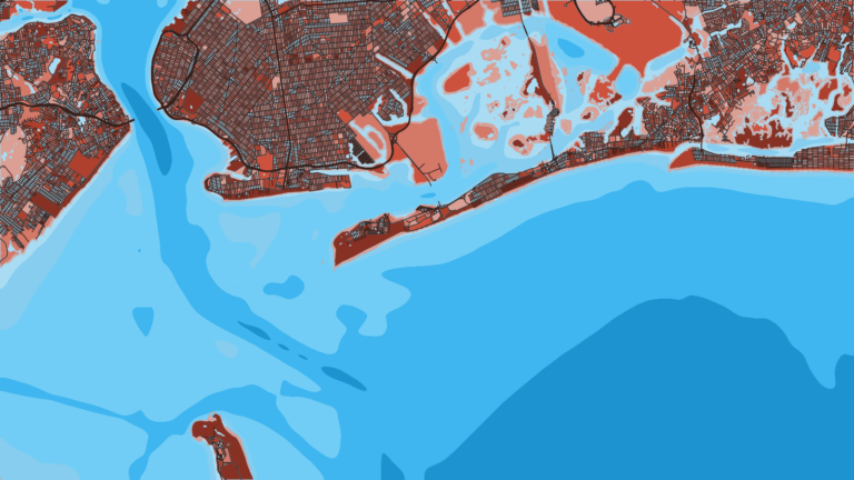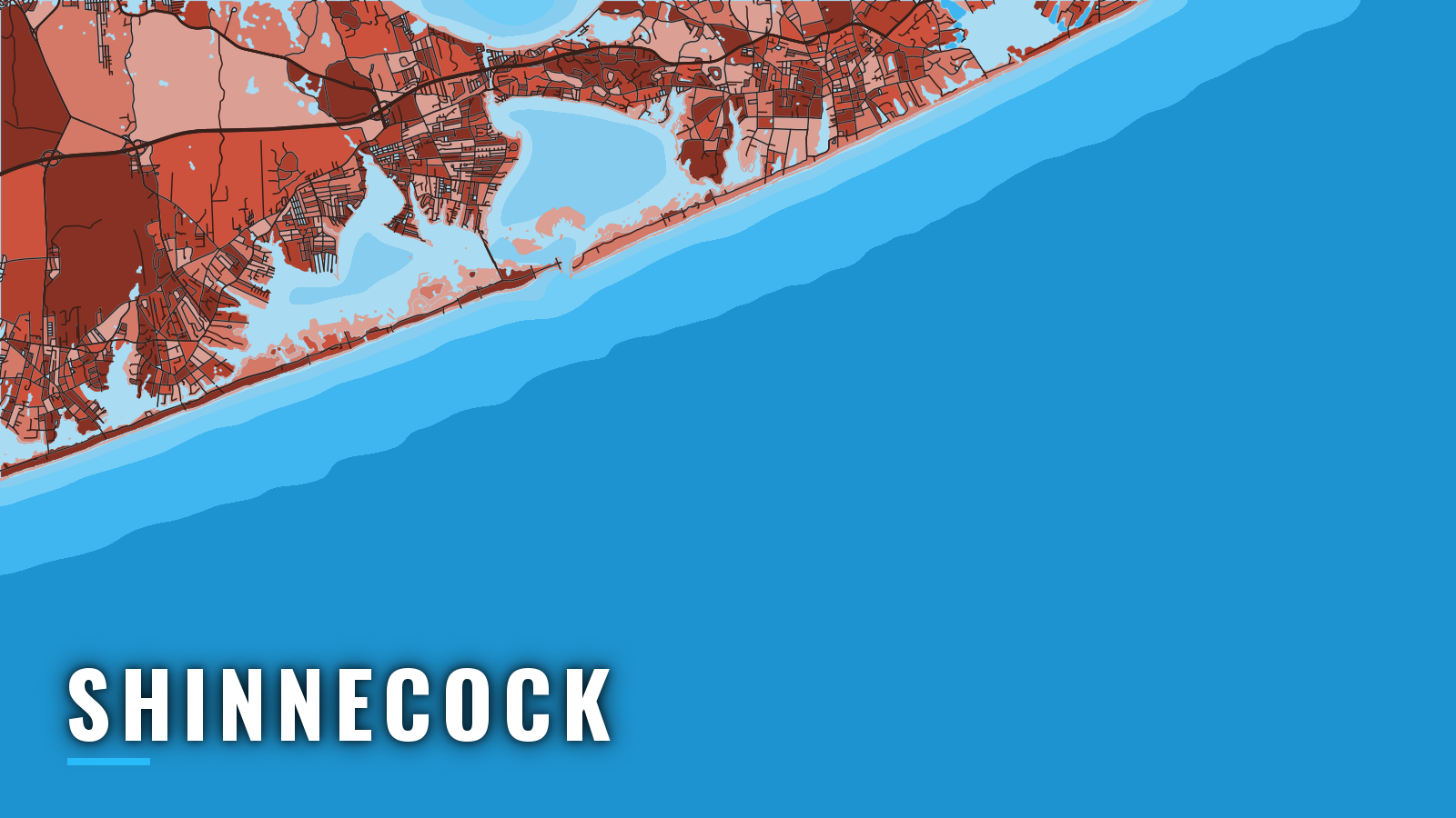

About Shinnecock
Shinnecock Inlet is the easternmost Atlantic entrance on Long Island’s south shore. It opens into Shinnecock Bay, where the Hampton Bays waterfront holds the marinas and a town launch. The Shinnecock Canal joins the bay to Great Peconic Bay. For offshore fishing out of Shinnecock, the inlet is the only way to the Atlantic.
Fishing runs spring through autumn, with a thin winter. Offshore, the main targets are bluefin tuna, yellowfin and mahi-mahi. Striped bass and fluke are the inshore staples.
Access and navigation
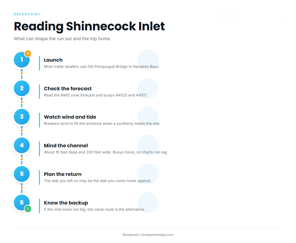
Most trailer-boaters launch at Old Ponquogue Bridge in Hampton Bays and run Shinnecock Inlet, which tends to break when a southerly meets the ebb.
Public launch and marina options:
- Old Ponquogue Bridge Marine ParkTown of Southampton launch with bay and inlet access; check the Town page for permits.
- Oakland’s Restaurant & Marinawaterfront marina near the inlet.
- Canoe Place Inn Boathouses & Marinaslips at the Shinnecock Canal.
An ebb running against a southerly wind or swell steepens the waves at the entrance. Breakers tend to fill the inlet when southerly winds reach 15 knots or more on the ebb, and the south coast is open to weather from the south and southeast. Current can reach about 3 knots at peak flood and close to 4 knots at peak ebb. The entrance channel is roughly 10 feet deep and 200 feet wide, with shoaling alongside it.
Depths change often, and uncharted buoys mark the channel. South shore bays can shoal to 1 to 2 feet at low tide. Because the buoys move, the chart can lag the water, and a shifting inlet will outrun any bottom mapping we do. The ebb you leave on may be the ebb you come home against, so check the return conditions before you go out.
Shinnecock Canal as an alternative. The canal runs north to Great Peconic Bay. The lock is tended 24 hours, and boats enter on a green signal. Current through the lock and tide gates has been recorded as high as 4.3 knots southerly with the gates open, and an eddy extends about 200 yards south of the lock. A 5 mph speed limit is enforced in the canal.
Where to read conditions. The NWS Moriches to Montauk forecast covers "Moriches Inlet to Montauk Point" out to 20 nautical miles. Read buoys 44025 and 44017 before you leave the ramp. NOAA Coast Pilot 2, Chapter 10 covers the south coast of Long Island. A forecast can miss what the inlet is doing, so look at the water when you arrive and compare it with the official forecast. If the inlet looks bigger than you want, use the canal approach.
Fishing conditions
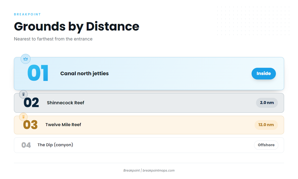
The grounds run from inside the inlet out to deeper water. Shinnecock Reef sits 2.0 nautical miles from the entrance, and Twelve Mile Reef sits 12.0 nautical miles out. The Dip is a canyon farther offshore. The Shinnecock Canal north jetties hold fish inside. All of it belongs to the Atlantic Northeast fishery.
The state sets the limits. Check the NYSDEC recreational fishing regulations before you fish, since they shift by season and quota. Saltwater anglers also need the free NY Recreational Marine Fishing Registry.
In Breakpoint, the OBS SST and Chlorophyll layers can help you pick which edge to run to offshore. Cloud can block a satellite pass, and chart layers are not for navigation.
Winter
Winter is thin, with cod and pollock on offshore structure.
Spring
Porgy, weakfish, fluke, striped bass and bluefish arrive as the water warms. Striped bass and fluke can work the bay, the inlet and Shinnecock Reef.
Summer
Summer is the widest season. Fluke, black sea bass, striped bass, bluefish and red hake work inshore and on the reefs.
Offshore, giant tuna and bluefin are on the list, along with tunas such as yellowfin and bigeye. Mahi-mahi can show on floating debris. Swordfish and marlin are also on the list. Tuna fishing needs a NOAA Highly Migratory Species permit in addition to the NY Registry.
Autumn
Autumn holds fluke, black sea bass, striped bass, bluefish and red hake, and adds tautog inshore. Swordfish and giant tuna stay on the list offshore, and offshore tuna, including bigeye, can hold into autumn.