
About San Pedro and Long Beach
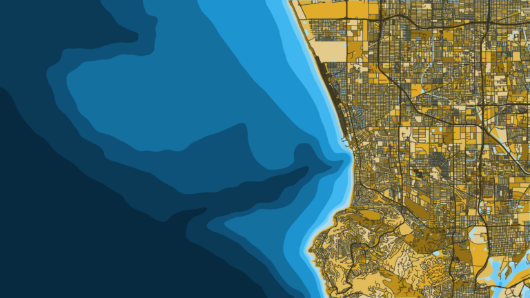
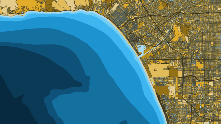
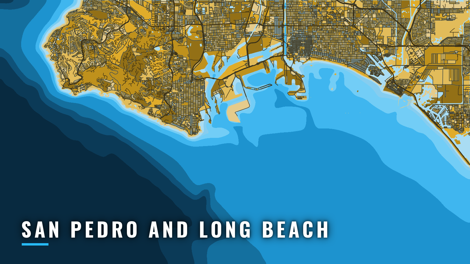
San Pedro and Long Beach share one breakwater-protected bay. The San Pedro, Middle and Long Beach Breakwaters enclose San Pedro Bay, which opens to San Pedro Channel. The two seaward entrances, Angels Gate and Queens Gate, sit about 4 miles apart, and Cerritos Channel joins the two harbors inside, per NOAA Coast Pilot 7. The channel beyond is about 17 miles wide, and Catalina Island sits 18 miles south of Point Fermin. It is one of the larger Southern California ports.
The port fishes all 4 seasons, and the species mix shifts with the water. Pacific Southwest fishing here centers on yellowtail and bluefin tuna, with calico bass, halibut and rockfish through much of the year. Redondo Beach lies beyond Point Fermin and Palos Verdes Point. Newport Bay lies southeast, with Alamitos Bay 15 miles northwest of it.
This page covers where to launch, how the gates and inlet tend to behave, and what the grounds hold by season.
Access and navigation
Public ramps and marinas around the bay:
- Cabrillo Beach Boat Launch Ramp: paved public ramp, paid parking, boat wash, trailer overnight allowed.
- Davies Launch Ramp: Long Beach Marine Bureau ramp.
- South Shore Launch Ramp: Alamitos Bay ramp.
- Marine Stadium Ramp: heavy ski use, so an early start helps.
- California Yacht Marina Cabrillo: San Pedro slips near Angels Gate.
- Alamitos Bay Marina: fuel.
- Long Beach Shoreline Marina: fuel.
Angels Gate
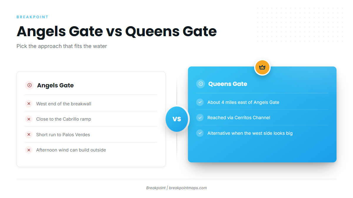
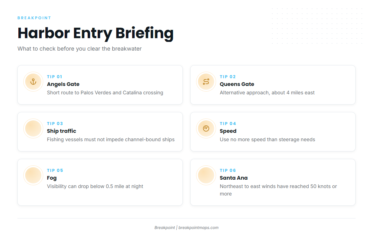
The Cabrillo ramp tends to be protected from swell and sits close to the west end of the breakwall. Angels Gate is the short route to Palos Verdes, Horseshoe Kelp and the Catalina crossing. Outside the gate, afternoon west and northwest wind and swell wrapping around Point Fermin can build the water later in the day. The Coast Pilot gives the channel’s prevailing wind as west and northwest, blowing nearly every day, especially in the afternoon.
Queens Gate
Queens Gate sits about 4 miles east of Angels Gate. From the San Pedro side, you can reach it inside the harbor via Cerritos Channel. Use it as the alternative approach when the west side looks bigger than you want.
Alamitos Bay entrance
You enter Alamitos Bay from the south between 2 lighted jetties. Because the entrance faces south, a big south swell can stack up at the jetties and make the exit hard. Charted dangerous wrecks lie in the approach, one just west of the entrance and covered 19 feet, so check the chart. If the entrance looks rough, launch at Cabrillo instead.
Ship traffic and fog
A Precautionary Area off both entrances carries incoming and outgoing ships. The Los Angeles and Long Beach main channels are narrow channels. Vessels under 20 meters and vessels engaged in fishing must not impede a ship that can only navigate inside the channel. Use no more speed than steerage needs at the entrances. Small craft lights can be hard to pick out at night against the harbor lights. VTS Los Angeles/Long Beach is the traffic service for the port.
Fog cuts visibility below 0.5 mile on about 11 days a month from October through February, mostly late night and early morning. Santa Ana winds blow from the northeast to east and have reached 50 knots or more along the coast. They are of little concern beyond about 50 miles from shore.
Before you leave the ramp, look at the water and check the NWS inner waters forecast PZZ655 and the San Pedro buoy NDBC 46222. If conditions look bigger than you want, switch approaches: Queens Gate instead of Angels Gate, or Cabrillo instead of Alamitos.
Fishing conditions
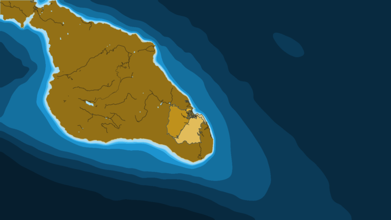
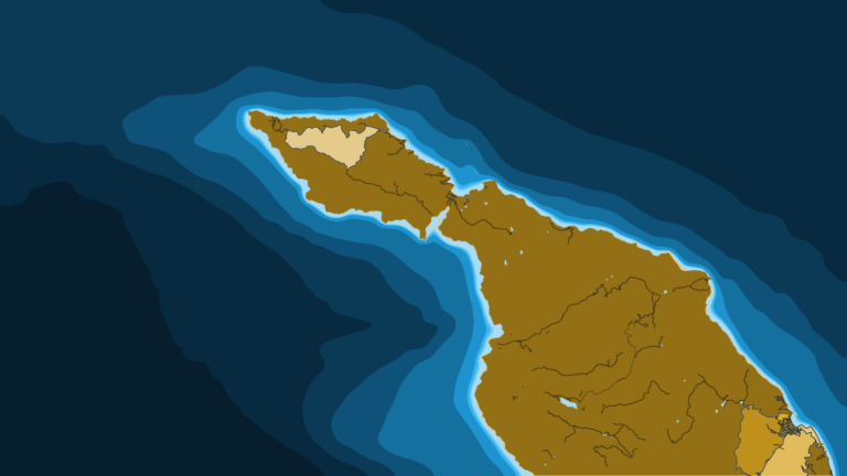
Inshore, you fish Palos Verdes, Horseshoe Kelp and the Long Beach breakwall. Across San Pedro Channel sits Catalina Island. Farther out are San Clemente Island, Santa Barbara Island, Tanner Bank and Cortes Bank.
Run timing follows the water. The OBS SST and Chlorophyll layers show where temperature edges and color breaks sit. The chart layers are not for navigation.
Check California Department of Fish and Wildlife (CDFW) rules before fishing. Rockfish rules change by depth and season.
Winter
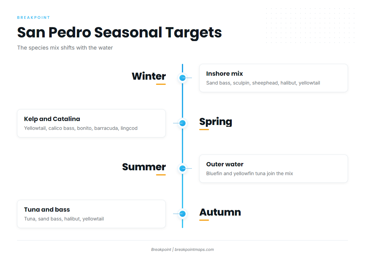
Sand bass, sculpin, sheephead and halibut work the inshore water, with some yellowtail in the mix. Fog and Santa Ana winds shape the mornings, so the early window out of San Pedro or Long Beach tends to matter most.
Spring
Yellowtail build on the kelp and at Catalina; there is more on yellowtail in the Pacific Southwest. Calico bass, bonito and barracuda join the inshore bite. Rockfish and lingcod fill out the bottom fishing, and CDFW sets the depth and season rules.
Summer
Yellowtail, calico bass, bonito and barracuda stay in the mix, along with rockfish and lingcod. Yellowfin tuna show up offshore, and bluefin in the Pacific Southwest can reach the outer water. In warm summers, dorado might push into the outer water too.
Autumn
Bluefin and yellowfin tuna lead the offshore bite. Sand bass, sculpin, sheephead, halibut and yellowtail work closer in. Dorado may linger into early autumn where warm water holds. Fog returns in October.