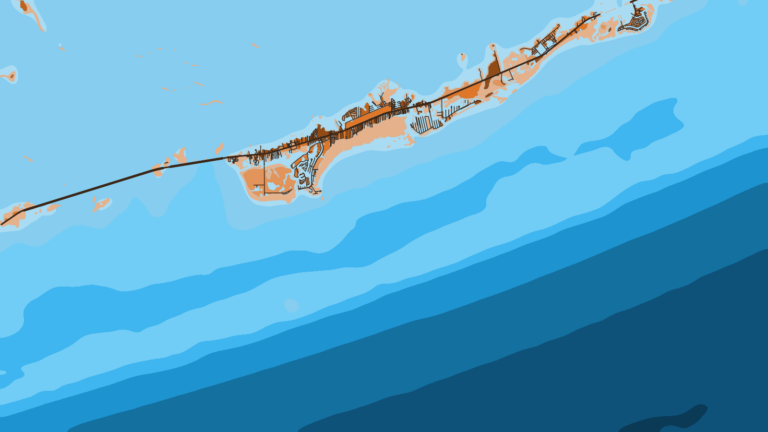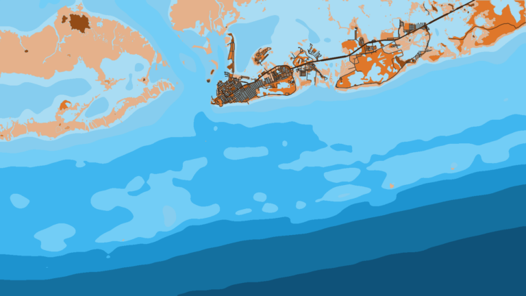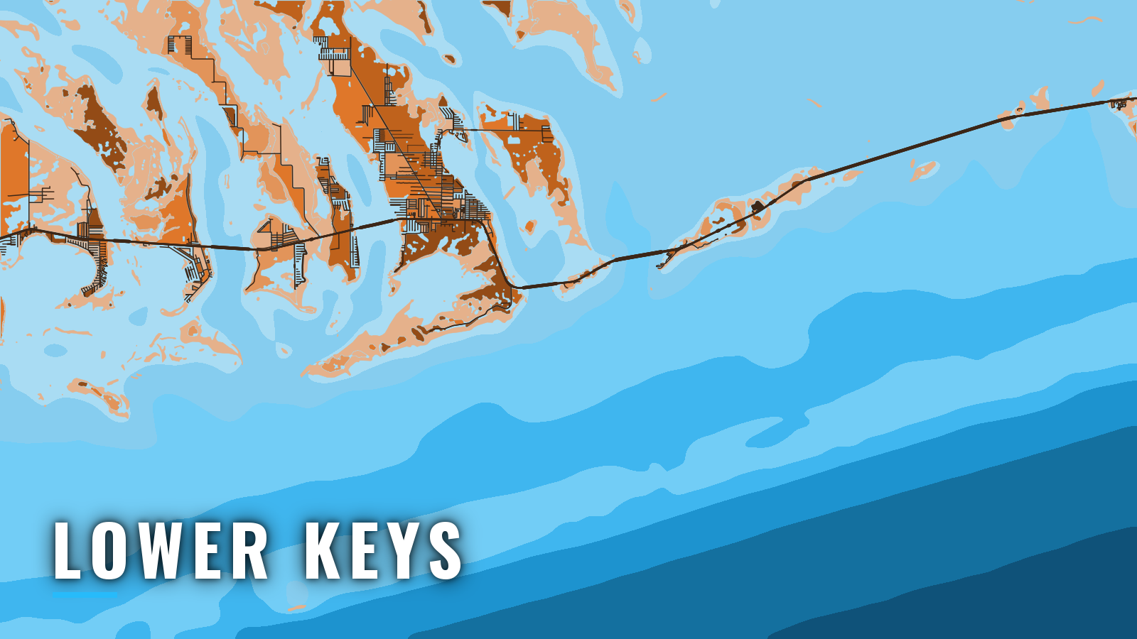

About Lower Keys
The Lower Keys run from west of the Seven Mile Bridge at Marathon to east of Key West, across Big Pine, Summerland, Ramrod and Cudjoe Keys. This stretch of the Florida Keys has tidal channels that cut through the islands to Hawk Channel and the Florida Reefs on the Atlantic, or Straits of Florida, side. Gulf and backcountry water lies on the bay side.
The water fishes year-round, and the target species change with the seasons. The species anglers target across the Atlantic Southeast show up here too: sailfish, mahi, tuna, king mackerel, yellowtail and mutton snapper, and grouper. This page covers where to launch, which cut to take out to Hawk Channel, and what each season tends to offer.
Access and navigation
Launches are on the bay side, and four tidal cuts lead out to Hawk Channel. Check your draft and bridge clearance before choosing one.
Ramps and marinas
Public launches and marinas in the Lower Keys:
- Cudjoe Key bayside boat ramppublic ramp on the bay side of Cudjoe Key.
- Sugarloaf Marinapublic boat ramp at MM 17, with a ship’s store carrying bait, tackle and ice.
- Captain Hook’s Marina and Dive Centermarina and dive center with a Big Pine Key location.
Confirm trailer parking and hours with each ramp or marina before you tow down.
The cuts out to Hawk Channel
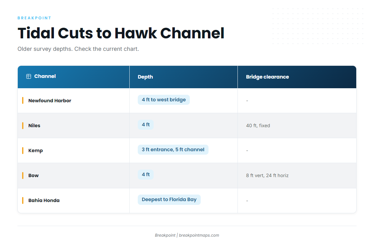
NOAA Coast Pilot 4 names the four cuts as Newfound Harbor, Niles, Kemp and Bow Channels. The depths below come from older surveys and run about 3 to 5 ft. Use them as a starting point and check the current chart in the NOAA nautical chart catalog.
Bow Channel runs between Sugarloaf and Cudjoe Keys. Current runs north on the flood and south on the ebb, and it can be strong. Two fixed bridges cross it, with least clearances of 8 ft vertical and 24 ft horizontal. It is not recommended for drafts over 2 ft without a pilot.
Niles Channel lies to the east and carries a fixed bridge with 40 ft of clearance. It shows 4 ft.
Kemp Channel shows 3 ft at the entrance and 5 ft in the channel. Local boaters use it heavily, and local knowledge is advised for strangers.
Newfound Harbor Channel shows 4 ft to the westerly bridge. Current through it and Bow Channel can run hard and tends to set fair with the channel.
| Channel | Reported depth (older survey) | Bridge clearance | Current note |
|---|---|---|---|
| Newfound Harbor | 4 ft to westerly bridge | – | Strong, sets fair with channel |
| Niles | 4 ft | 40 ft, fixed | – |
| Kemp | 3 ft entrance, 5 ft in channel | – | Heavily used; local knowledge advised |
| Bow | 4 ft to highway bridge | 8 ft vertical, 24 ft horizontal, fixed | Strong; north on flood, south on ebb; not recommended over 2 ft draft without pilot |
| Bahia Honda | Deepest between the Straits and Florida Bay | – | Averages 2 kn or more at strength |
Hawk Channel, the reef and the wind
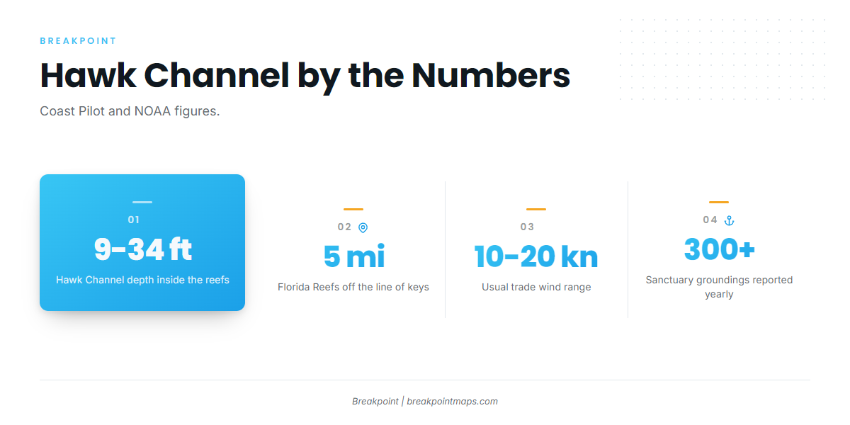
Hawk Channel runs inside the reefs at 9 to 34 ft. The Florida Reefs sit about 5 mi off the line of keys and are not marked by breakers in smooth weather.
Hawk Channel tends to hold comparatively smooth water in most winds, though the large openings between the reefs can get lumpy in southerly winds.
Easterlies and northeasterlies persist through the year in the Lower Keys. Trades usually run 10 to 20 kn, and winds of 22 kn or more blow about 7 to 12 percent of the time from October through March.
The shoals catch plenty of boats. More than 300 groundings are reported in the sanctuary every year, so stay in marked channels.
The alternative approach
Bahia Honda Channel suits boats that draw more than the cuts allow or need more bridge clearance than Bow or Kemp offer. Coast Pilot calls it the deepest channel between the Straits of Florida and Florida Bay. It sits about 10 mi northwestward of Sombrero Key, and its currents average 2 kn or more at strength. The current matters here, and it can stand up a chop against the wind.
On arrival
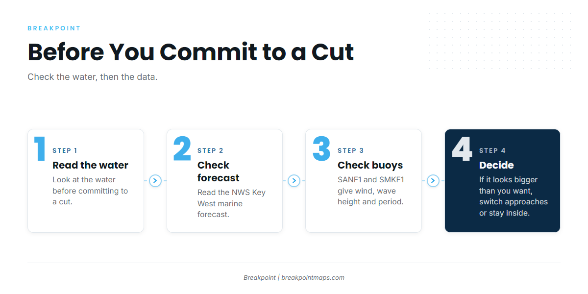
Look at the water before you commit to a cut. Check the NWS Key West marine forecast, which also gives the shoreward edge of the Gulf Stream as a distance and bearing from Sombrero Key Light. Then check the Sand Key and Sombrero Key stations, SANF1 and SMKF1, for wind, wave height and period. A buoy reports a single point, and a forecast is only a forecast. If conditions look bigger than you want, switch approaches or stay inside.
Fishing conditions
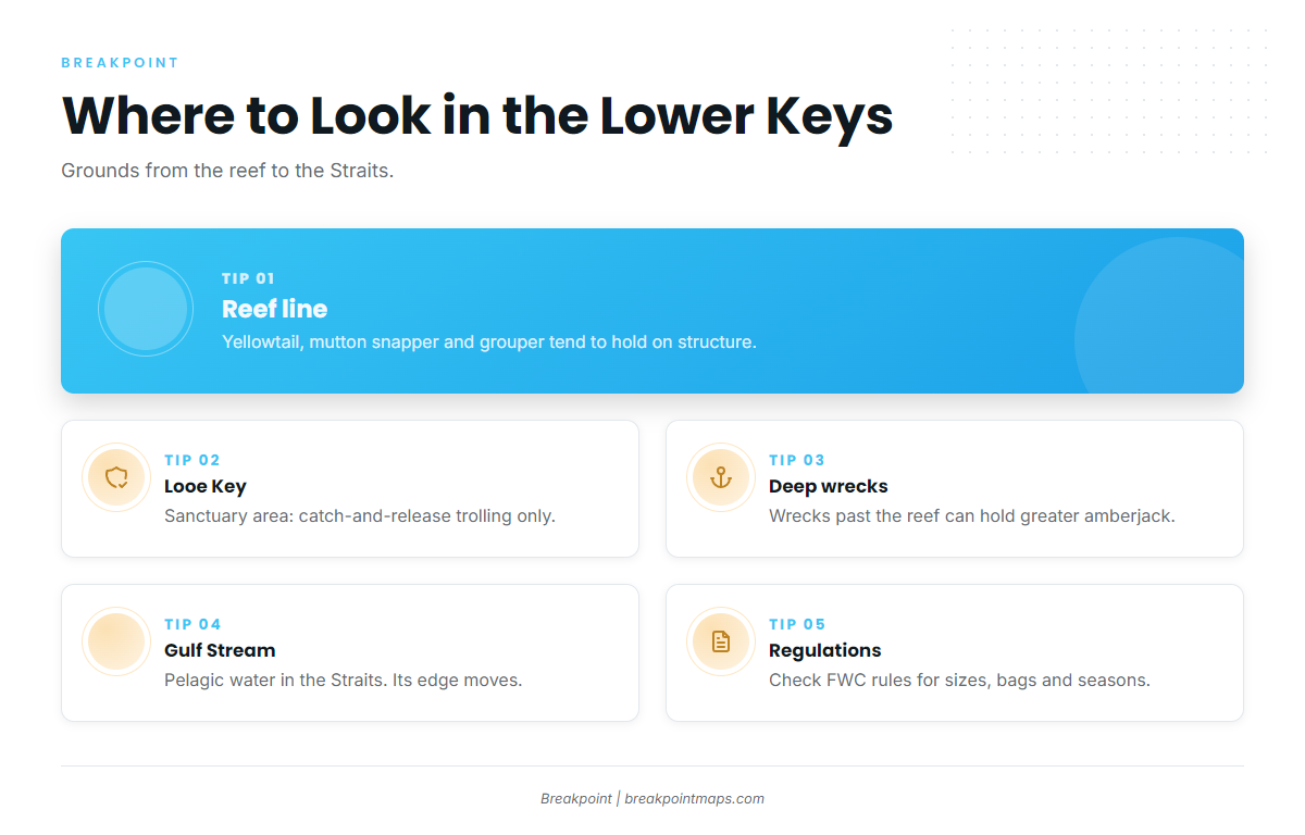
Four kinds of ground cover the Lower Keys offshore.
The Hawk Channel reef line. Reef and patch structure inside and along the Florida Reefs is where yellowtail, mutton snapper and grouper tend to hold.
Looe Key. The Looe Key Management Area surrounds Looe Key, about 6 mi south-southeast of Summerland Key. Inside the sanctuary preservation areas, fishing is limited to catch-and-release trolling, and anchor gear must not touch coral. The Marine Sanctuary Explorer app shows zone boundaries for the Florida Keys National Marine Sanctuary.
Wrecks and deep structure. Deeper wrecks and structure past the reef can hold greater amberjack.
The Gulf Stream and Straits of Florida. Pelagic water lies seaward of the reef in the Straits. Its edge moves, and its distance is given in the NWS synopsis.
The Florida Fish and Wildlife Conservation Commission sets sizes, bags and seasons, so check its rules before fishing.
Read the edge before you run. Breakpoint’s OBS SST layer shows temperature breaks, Chlorophyll shows color change, and Chart Contours show where the bottom drops off. Chart layers are not for navigation. They help you decide where to look but don’t guarantee fish.
Winter
Yellowtail, mangrove and lane snapper work the reef, and king mackerel round out the list. Winds of 22 kn or more run through March, so plan around fronts, which can close the window for a run to the reef.
Spring
Sailfish and tuna work offshore, while mutton snapper and grouper hold on structure. King mackerel on the Atlantic Southeast coast are in the mix too.
Summer
Mahi lead the offshore list, with mutton snapper on the reef. Afternoon thunderstorms tend to build in summer, so many boats plan to be back inside before they do.
Autumn
Mutton snapper, red and black grouper, gray snapper and yellowtail work the reef. Mahi on the Atlantic side can run late.