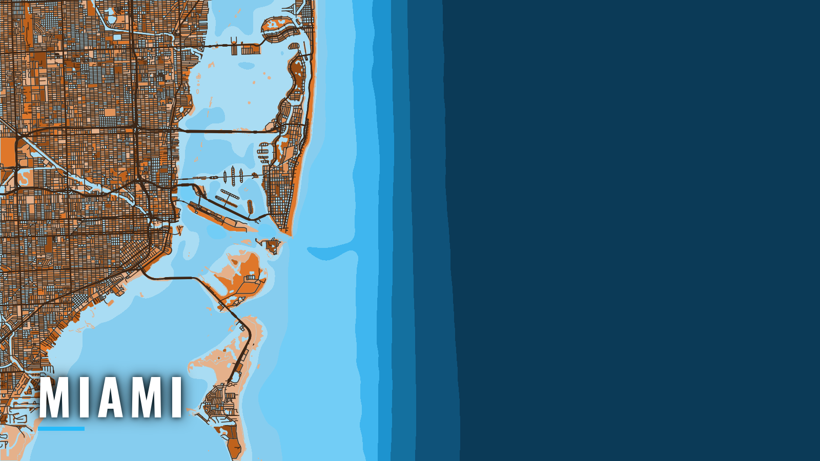

About Miami
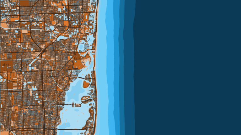
Miami offshore fishing starts at Government Cut, the jettied ocean entrance for Miami Beach Marina and PortMiami. Boats out of Key Biscayne and Coconut Grove work from Biscayne Bay. Miami sits on the Atlantic Southeast coast, with the Gulf Stream close to the beach.
The fishery runs year-round, and its signature is winter sailfish on kite baits off Fowey Rocks. Anglers also target mahi-mahi, kingfish, wahoo, blackfin tuna and swordfish.
The Florida Fish and Wildlife Conservation Commission (FWC) sets the rules. Check the Florida fishing regulations before you fish.
Access and navigation
Public launch and marina access closest to the cut:
- Crandon Park Marinacounty ramp and marina on Key Biscayne, fuel listed
- Miami Beach Marinamarina just inside Government Cut
How Government Cut tends to behave
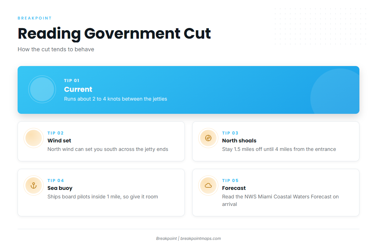
According to NOAA Coast Pilot 4, Chapter 10, tidal current between the Government Cut jetties runs about 2 to 4 knots, and wind can add to it. A north wind can set you south across the ends of the jetties, and a south wind can set you north. Cross-channel current variations in the cut can be hard to negotiate.
On a flood tide with a northeast wind, a strong turning force can hit as the bow passes just inside the north jetty. A lesser version can occur leaving on the ebb.
Shoals extend about 1 mile offshore north of the entrance. Coming from the north, stay at least 1.5 miles off until you are within 4 miles of the entrance, then head for the sea buoy. The 20-fathom curve (120 ft) lies about 4 miles off near the entrance.
A Precautionary Area with a 1 nautical mile radius surrounds the Miami sea buoy. Ships board pilots inside that mile and have limited room to maneuver, so give it plenty of room. Heavy small-craft traffic can make the buoys hard to pick out by eye or on radar.
The Crandon Park Marina county channel, reached from the Intracoastal Waterway, gives inside routing to and from Key Biscayne. Bakers Haulover Inlet is the alternative ocean entrance to the north.
Before you commit to the cut
Look at the water when you get there, and read the NWS Miami Coastal Waters Forecast, which includes the Gulf Stream west wall position. If the cut looks rougher than you want, switch approaches. The forecast is a guide, but conditions at the cut take precedence over it.
Fishing conditions
The grounds run from inshore out to the Stream. Fowey Rocks anchors the north end of the winter kite fishery. Bug Light Shoal Artificial Reef sits in 22 ft, and the Key Biscayne Special Management Zone (SMZ) artificial reef site holds structure for reef species. Beyond them, the 20-fathom edge lies about 4 miles off, with the Gulf Stream west wall past that. The Miami-Dade Artificial Reef Program publishes reef charts.
Inside the Key Biscayne SMZ, fish traps, bottom longlines and spearguns of any type are prohibited. The rules cover every natural and artificial reef and wreck in the box, which runs from 25°41.316′ N to 25°42.800′ N and from 80°05.516′ W to 80°04.200′ W. Check state rules before fishing.
OBS SST and Chlorophyll show where the color and temperature edge sits off Key Biscayne, and Chart Contours show the drop. Chart layers are not for navigation. The west wall moves, so read its position in the NWS product and on OBS SST rather than relying on a fixed mileage.
Winter
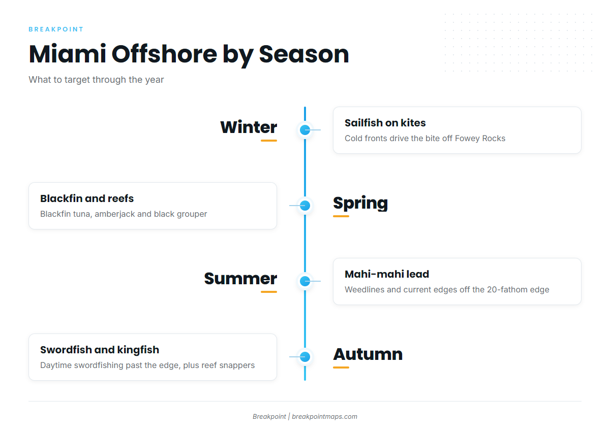
Cold fronts drive both the sailfish bite and the difficulty of the crossing. A north wind behind a front sets you south across the jetty ends and runs against the northbound Stream, which is why wind direction and tide matter at the cut.
Sailfish on kite baits off Fowey Rocks define the season. Tackle and technique are in our sailfish guide, and the regional run is in sailfish on the Atlantic Southeast. Kingfish, wahoo, swordfish, blackfin tuna and mahi-mahi also run in winter.
Spring
Sailfish, kingfish, wahoo and mahi-mahi hold over from winter, and blackfin tuna stay in the mix. Our blackfin tuna guide covers the fish, and blackfin on the Atlantic Southeast covers the regional run.
Amberjack and black grouper hold on the reefs and artificial reef sites. Check the structure and the water before choosing a ground.
Summer
Mahi-mahi lead the summer run along weedlines and current edges off the 20-fathom edge. The mahi-mahi guide covers the fish, and mahi on the Atlantic Southeast covers the regional pattern.
Sailfish, kingfish, wahoo and blackfin tuna are also available, with yellowtail snapper and yellow-eye snapper on the reefs. For weather, use the NWS forecast and the wind, wave height and period numbers it gives.
Autumn
Mahi-mahi, sailfish and kingfish run in autumn, and daytime swordfishing works the water past the edge. Kingfish (king mackerel) are covered in the king mackerel guide, with the regional picture in kingfish on the Atlantic Southeast.
Reef fishing adds yellowtail, vermilion, yellow-eye and mutton snapper. The SMZ gear rules still apply inside the box. Before each run, read the NWS forecast and note where the west wall sits.