
About Port Fourchon
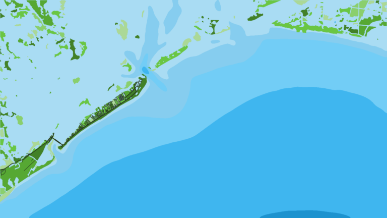
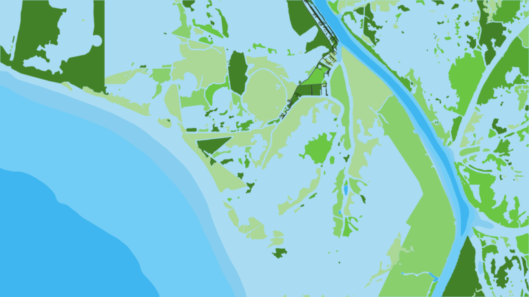
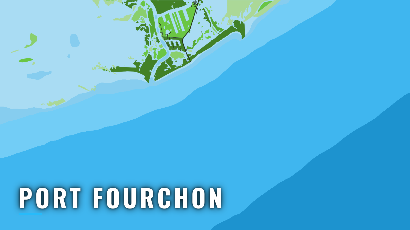
Port Fourchon is an oilfield service port at the mouth of Bayou Lafourche, where Belle Pass opens between rock jetties onto the Gulf of America (Gulf of Mexico). It is one of the Louisiana offshore ports where a trailer boat can reach deep Gulf structure from the end of LA-1. Fourchon anchors the north-central Gulf fishery, and recreational boats share the channels with supply vessels. The grounds run from Timbalier Bay and the jetty rocks out through nearshore platforms to deep Gulf structure.
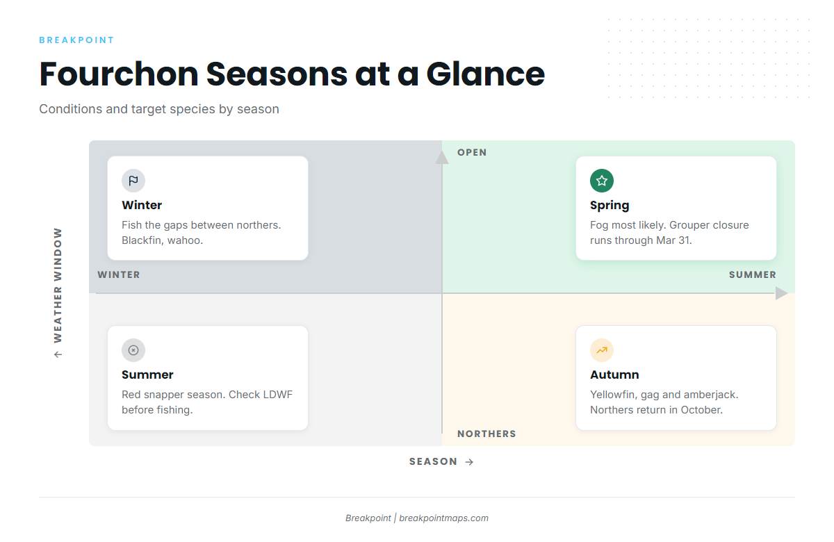
Fishing runs year-round, and weather shapes it. Summer is red snapper season, autumn brings yellowfin tuna, gag and greater amberjack, and winter fishing depends on the gaps between northers. The target list is red snapper, yellowfin and blackfin tuna, greater amberjack, gag, king mackerel, mahi and blue marlin.
Access and navigation
Port Fourchon has one free public launch at the end of the road and a marina with fuel and bait. Public ramps and marinas:
- Irvin P. Melancon Recreational Boat Launch – free Greater Lafourche Port Commission launch with 5 slips, a large lot, a kayak launch, elevated restrooms and ADA ramps, for recreational use only.
- Fourchon Marina – gas and diesel, ice, live shrimp and minnows, and a launch.
- Leeville Boat Launch – public launch up the bayou in Leeville.
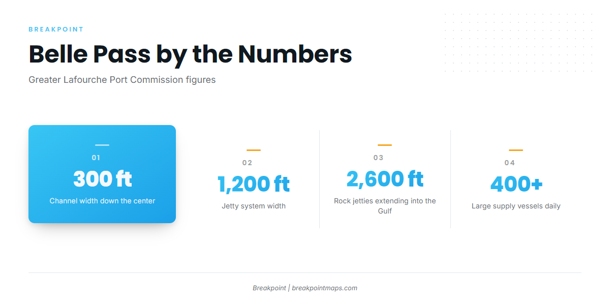
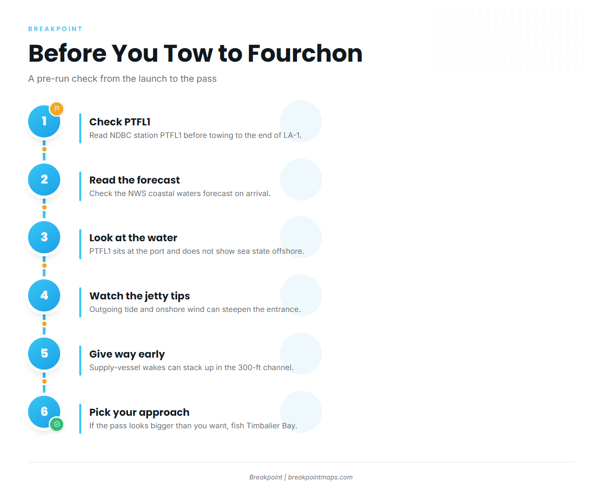
According to the Greater Lafourche Port Commission, Belle Pass runs a 300-ft channel down the center of a 1,200-ft jetty system, with rock jetties extending 2,600 ft into the Gulf. The port reports more than 400 large supply vessels moving through its channels each day. In a 300-ft channel, supply-vessel wakes can stack up behind you and reflect off the rocks, so give way early and expect wakes from both directions.
Where an outgoing tide meets an onshore wind off the end of the 2,600-ft jetties, the entrance can steepen and stand up. Conditions at the jetty tips may look very different from what you saw at the launch.
Rocks along East Timbalier Island and Northwest Island are mostly submerged. Offshore oil and gas structures along this coast extend up to 125 miles out, and some may be unlit, according to NOAA Coast Pilot 5 guidance. On a pre-dawn run, a dark structure might not show until you are close to it.
Northers are common from October through February. In winter systems, winds of 22 kt or more occur about 7 to 12% of the time, and waves of 10 ft or more are common. Fog is most likely in winter and early spring, and February is often the foggiest month.
Check NDBC station PTFL1 observations before towing to the end of LA-1. On arrival, look at the water and read the NWS coastal waters forecast. The Greater Lafourche Port Commission also posts weather and storm information on its Port Fourchon weather and storm page. PTFL1 sits at the port and does not show sea state 40 miles out, and a forecast is only a forecast. If the pass looks bigger than you want, switch approaches or stay in and fish Timbalier Bay.
Fishing conditions
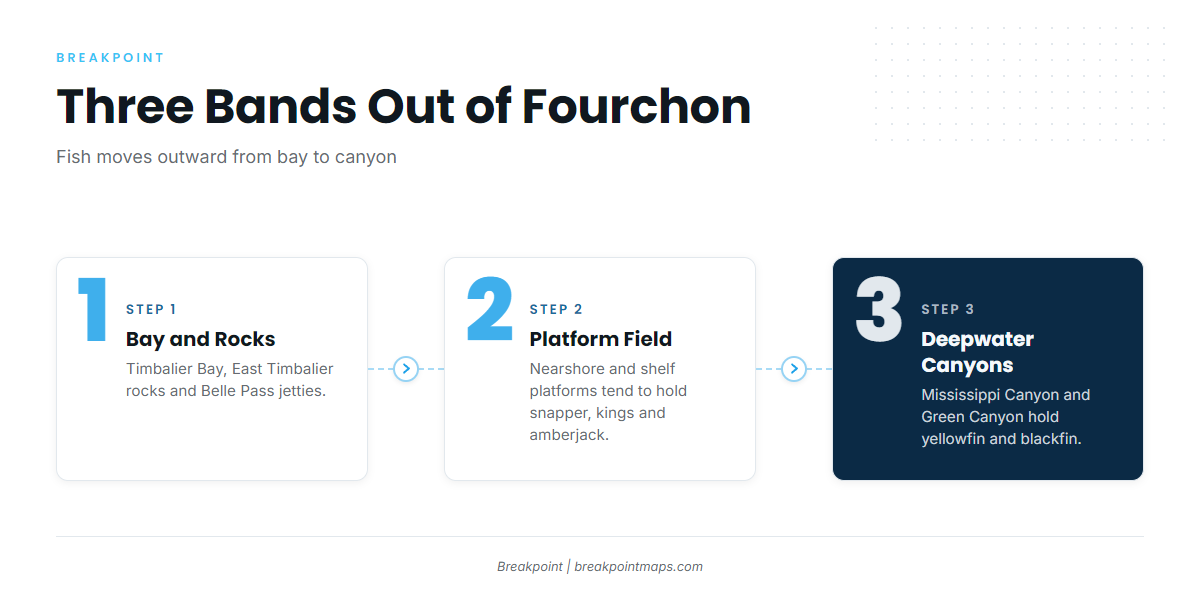
Port Fourchon fishes in three bands: the bay and rocks, the platform field, and the deepwater canyons.
Inside and at the pass. Timbalier Bay, West Timbalier Island, the East Timbalier Island rocks and the Belle Pass jetty rocks hold inshore fish such as speckled trout, redfish, drum and sheepshead. The rocks are fish structure, and they are also the submerged hazard described above.
Nearshore and shelf platforms. Rigs and platforms define the fishery here. They tend to hold red snapper, king mackerel, amberjack and grouper. The Louisiana Offshore Oil Port can serve as a landmark. Platform placards help you identify jurisdiction: state lease numbers in state waters, OCS numbers in federal waters.
Deepwater. Mississippi Canyon and Green Canyon anchor the deep end. Yellowfin tuna in the Gulf often hold around deepwater structure in both canyons, and blackfin tuna in the Gulf can share the same deep platforms.
| Band | Grounds | What tends to hold |
|---|---|---|
| Inside and pass | Timbalier Bay, West Timbalier Island, East Timbalier Island rocks, Belle Pass jetty rocks | Speckled trout, redfish, drum, sheepshead |
| Nearshore and shelf | Platforms and rigs | Red snapper, king mackerel, amberjack, grouper |
| Deepwater | Mississippi Canyon, Green Canyon | Yellowfin tuna, blackfin tuna, blue marlin |
In Breakpoint, OBS SST and Chlorophyll show where warm, clean water sits against the canyons, and Chart Contours show the edge it sits on. Chart layers are not for navigation.
Winter
Northers recur, and fog builds toward February. See the numbers under Access and navigation.
Gray triggerfish is closed January 1 through the end of February. Several groupers close February 1 through March 31 seaward of 120 ft. Check the Louisiana Department of Wildlife and Fisheries (LDWF) before you fish.
Between northers, blackfin can be an option on deep structure. Our blackfin tuna fishing guide covers the species. Our wahoo fishing guide covers another deep-structure fish that can turn up in winter.
Spring
Fog is most likely in winter and early spring, so check visibility and the forecast before you leave the dock. The grouper closure seaward of 120 ft runs through March 31. Check LDWF for the current rules.
Summer
Red snapper tend to dominate the summer offshore fishery off Fourchon. The state sets and closes the season by declaration, and the fish may not be possessed while it is closed. Read the LDWF red snapper page before fishing. A free Recreational Offshore Landing Permit (ROLP) is required.
Swordfish, tuna and king mackerel are also in the summer mix. The mahi-mahi fishing guide covers fish that often hold on weedlines and floating debris you may pass on the run in and out. Deepwater canyon structure is where the blue marlin fishing guide applies.
Summer is also hurricane season. Check the Greater Lafourche Port Commission weather and storm page before you tow.
Autumn
Yellowfin tuna feature in autumn. Our yellowfin tuna fishing guide covers the species. The gag season opens September 1 and ends on the date LDWF declares, so check LDWF for the closing date.
Greater amberjack is open September 1 through October 31, or until the quota closes it. See the greater amberjack fishing guide. Northers return in October, so the winter numbers apply again.