
About Venice
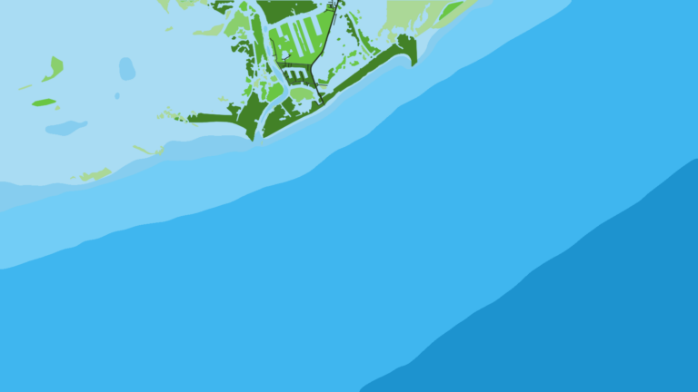
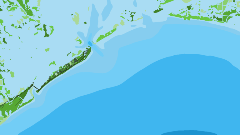
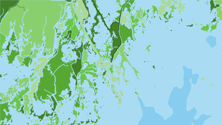
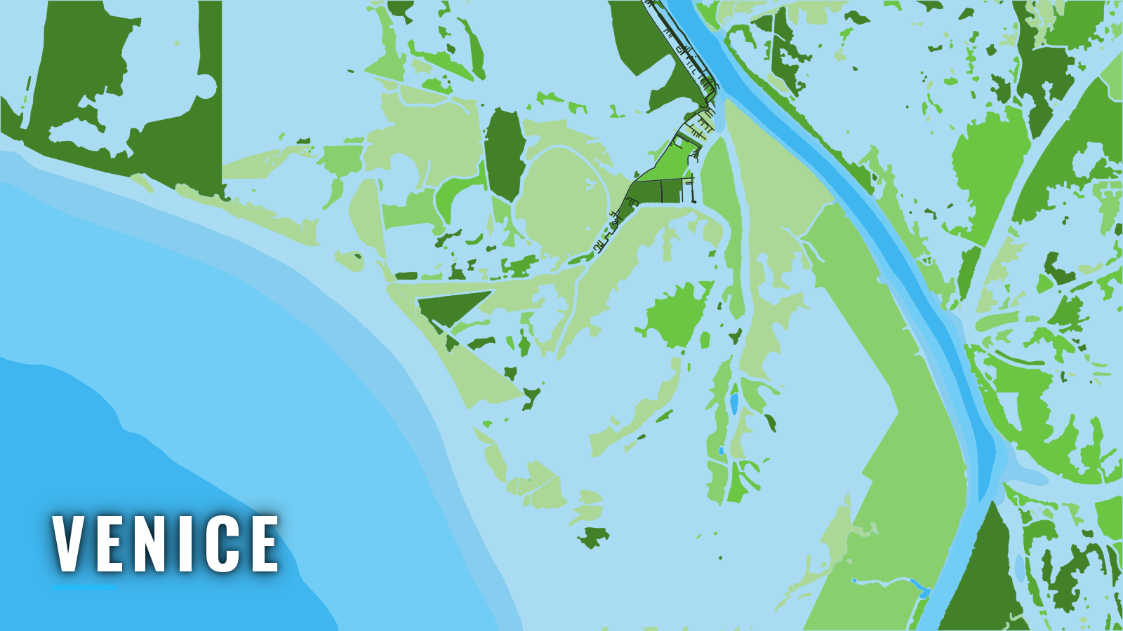
Venice sits just inside The Jump on the lower Mississippi, at the end of LA-23 in Plaquemines Parish. It is a fishing and marine repair town at the bottom of the Mississippi River delta, and the starting point for offshore runs in the northern Gulf.
Tiger Pass and the delta passes lead from the marinas to open water. Boats run to deepwater rigs, the Midnight Lump (Sackett Bank) and Mississippi Canyon. Venice works as an offshore port in every month, and the target list changes with the seasons. From here you reach the northern Gulf’s offshore fishery by way of a river passage before the blue water.
The usual targets are yellowfin tuna, wahoo, blackfin tuna, swordfish, mahi-mahi, blue and white marlin, amberjack, red snapper and cobia. The seasons below sort them by time of year.
Louisiana requires a free Recreational Offshore Landing Permit (ROLP) to possess tuna, billfish, mahi-mahi and other offshore species. Check the LDWF saltwater finfish rules before you fish. Size, bag and season rules are on our Louisiana page.
Access and navigation
Every offshore run from Venice starts on the river and leaves through a pass. Two marinas have their own ramps:
- Venice Marinaback-down ramp, fuel
- Cypress Cove Marina & Lodgeback-down ramp, fuel, ice, bait, lodging
Tiger Pass
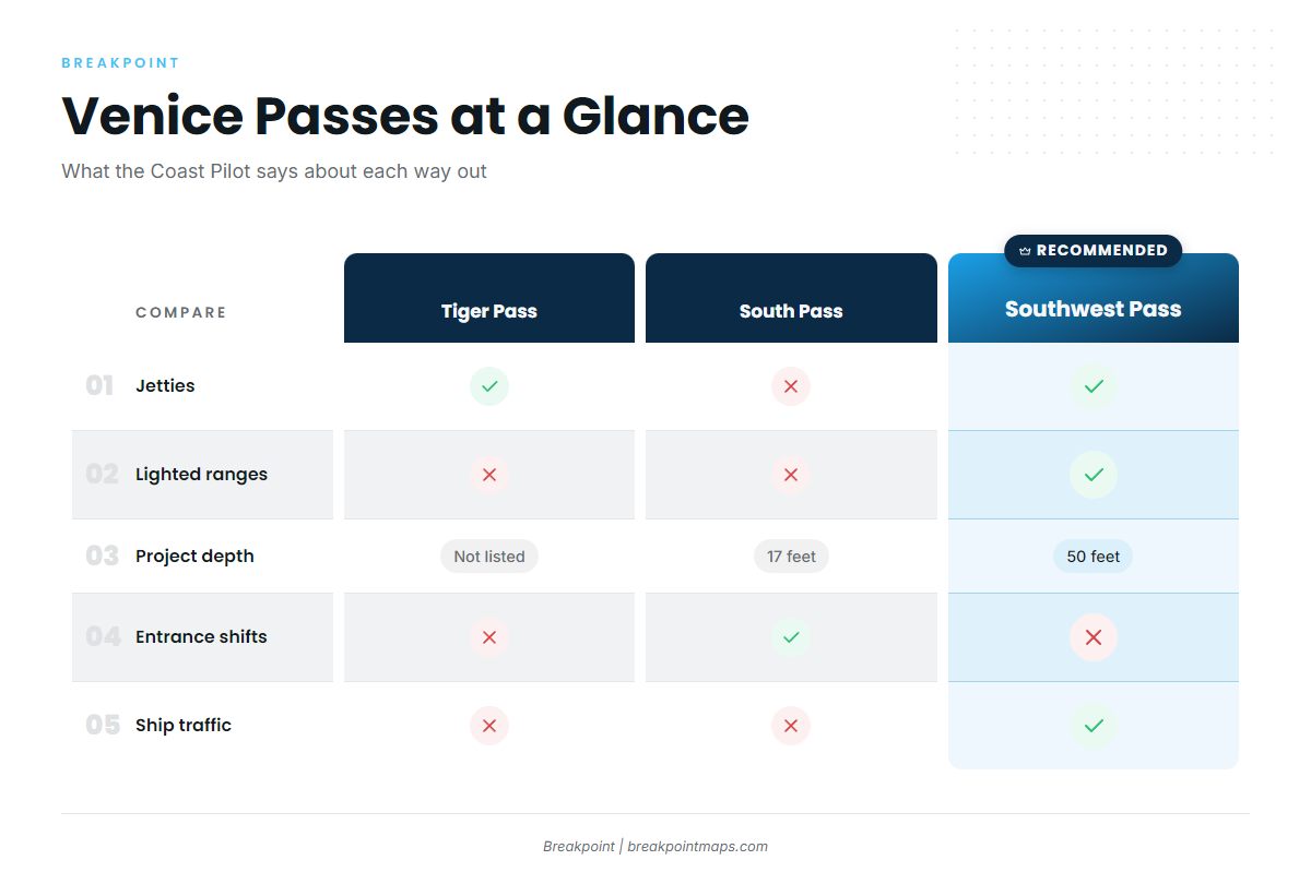
Tiger Pass reaches the Gulf from Venice. It has jetties at its Gulf entrance, and lights and daybeacons mark its lower 5 miles.
South Pass
South Pass has a federal project depth of 17 feet. Entrance depths can change frequently, and a shoal of 2 to 17 feet lies along the west side of the entrance. The bar can sit somewhere other than where the chart puts it, so watch the sounder on the way out.
Southwest Pass
Southwest Pass is the improved ship channel. It has a federal 50-foot channel and lighted ranges, and a lighted approach buoy sits 1.6 miles south of the jetty ends. In thick or foggy weather, U.S. Coast Pilot 5, Chapter 8 calls it the more accessible pass, with a wider, nearly straight, better-marked channel. If the South Pass entrance or the visibility looks marginal, use Southwest Pass instead.
A shoal of 8 to 15 feet runs along the west side of the approach for about a mile beyond the west jetty. Its position tends to stay fairly constant except after spring high-river stages.
Expect ship traffic. Pilots board ships up to 3 miles off the sea buoys. Bar pilot boats work VHF channel 67 and also handle channels 6, 9 and 16. A big ship’s wake can bring a sudden drop and a sizable wave, so keep the boat underway and in control as a ship passes.
River, wind and fog
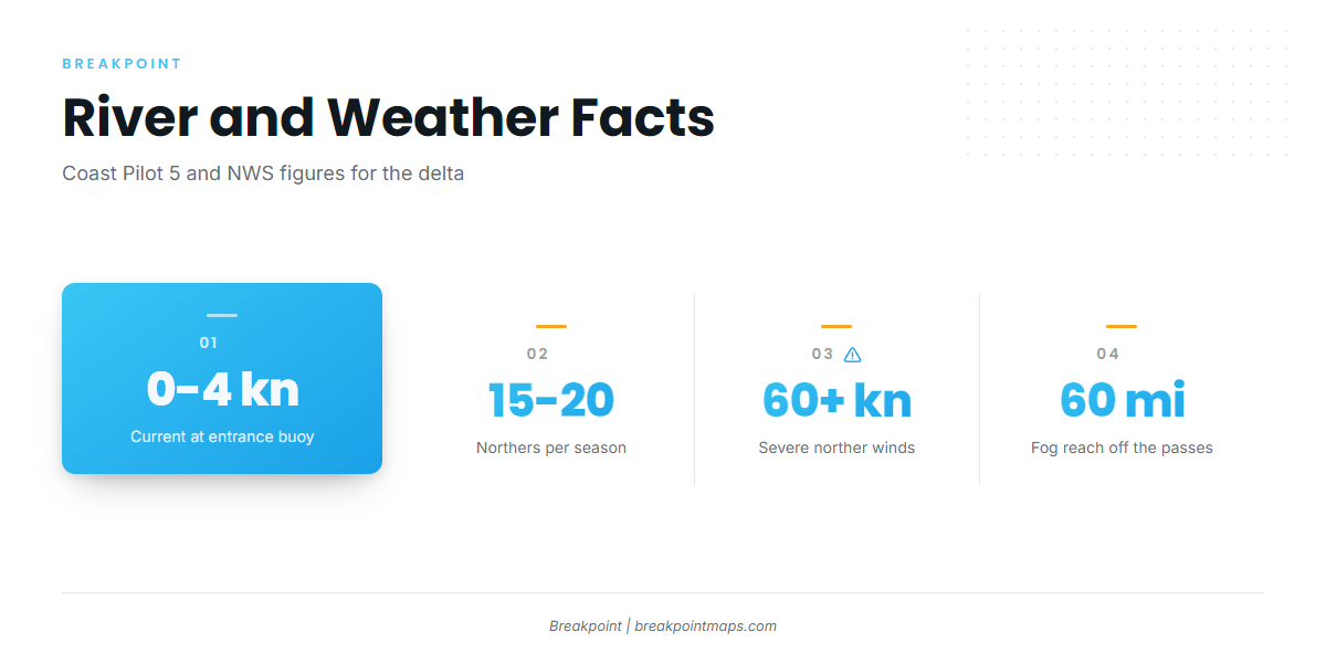
The river current sets straight out from between the Southwest Pass jetties, then spreads fan-shaped, slightly stronger to the west. At the entrance buoy it generally sets southwest at 0 to 4 knots, averaging about 1.7. Wind and seas can produce crosscurrents, and river current running out against an onshore wind can stack the seas at a jetty mouth.
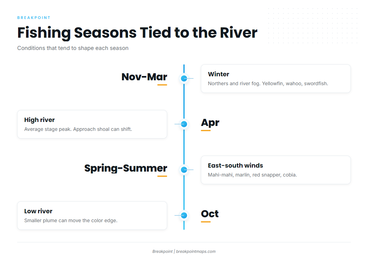
High river averages April, and low river averages October. East through south winds prevail in every month except January. Logs and other debris can come down the river, and the muddy plume off the passes can hide them while changing the color you read.
Winter northers are most likely November to March, about 15 to 20 a season. They usually last about a day and a half, and severe ones can reach 60 knots or more. From December to June the river is usually colder than the air, which favors river fog, especially with weak south winds. Fog might be found anywhere from 60 miles off the passes to New Orleans.
Before you leave the pass
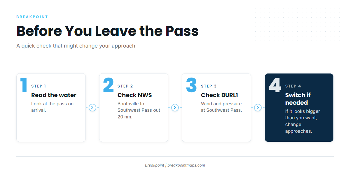
Look at the water at the pass when you arrive. Read the NWS New Orleans marine forecast for the Boothville to Southwest Pass out 20 nm zone, and check NDBC station BURL1 observations for wind and pressure at Southwest Pass. Forecasts miss, so if the water looks bigger than you want, switch approaches.
Fishing conditions
Venice fishes deepwater rigs, the Midnight Lump (Sackett Bank), Mississippi Canyon and the muddy-blue rip line where the river plume meets Gulf water. Bait and pelagics can set up along that color edge. Yellowfin tuna are the main draw at the rigs.
The rip line off the passes tends to show up as an edge on OBS SST and Chlorophyll in Breakpoint. Checking those layers helps you decide where to look. Chart layers are not for navigation.
Winter
Northers run November to March, and river fog can start in December. These windows decide which days you get. Winter tends to favor yellowfin tuna and wahoo. For yellowfin, see our yellowfin tuna techniques. For wahoo, see the wahoo guide. Swordfish and blackfin tuna are also on the winter list. Amberjack runs on a quota-managed season that is closed for much of the year, so check LDWF first.
Spring
River stage averages its high in April, the fog window runs through June, and the Southwest Pass approach shoal can shift after high river. Yellowfin tuna and wahoo continue. Mahi-mahi join the mix, and amberjack stay on the list. Blue marlin and white marlin begin to show.
Summer
East through south winds prevail through the summer months. Red snapper is the headline reef species, and its season is quota-managed, so check LDWF before you go. Mahi-mahi, yellowfin tuna, cobia and grouper round out the list. For billfish, see the guides to blue marlin and white marlin.
Autumn
Low river averages October, and a smaller plume can change where the color edge sits. Yellowfin tuna, wahoo, mangrove snapper and cobia are the offshore targets, and bull reds can hold inshore.
To see the temperature breaks and color edges off your pass before you run, find Venice in the port guides on breakpointmaps.com.