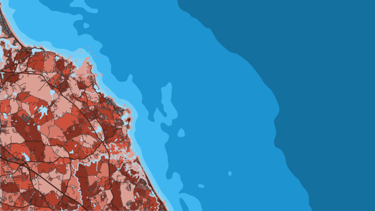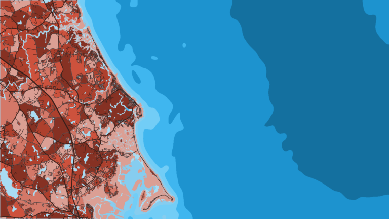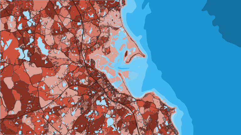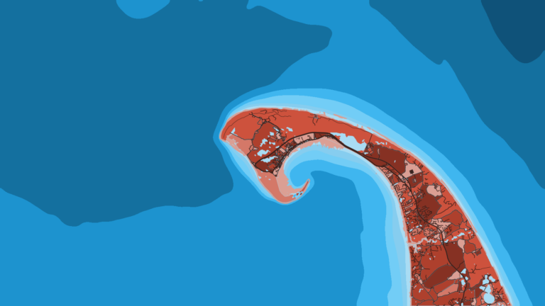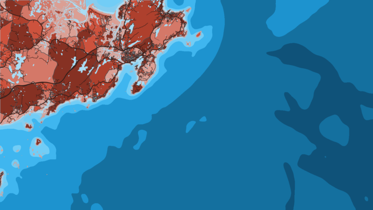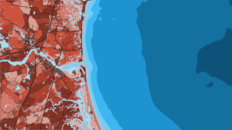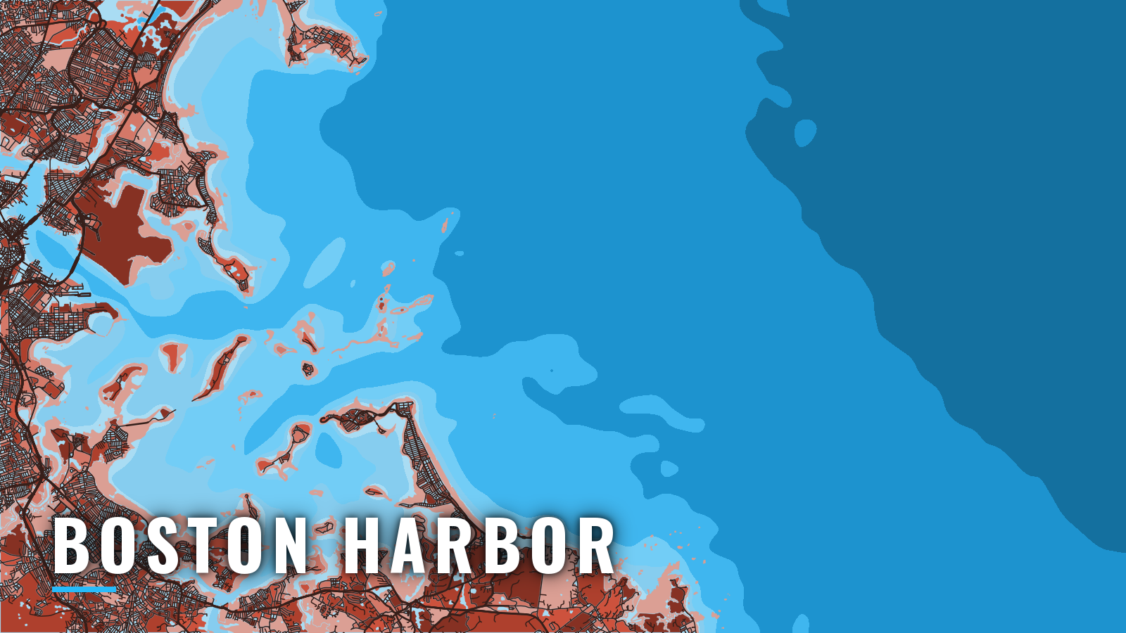

About Boston Harbor
Boston Harbor opens to Massachusetts Bay through dredged channels between Deer Island and Point Allerton, with islands and shoals in the approaches. The port sits on the coast of Massachusetts and fishes the inner harbor, the outer islands and the banks of the bay. Most fishing runs from late spring through autumn across Gulf of Maine waters, and groundfish are available offshore in the colder months. Boats here target striped bass, bluefish, bluefin tuna, haddock, cod, pollock, mackerel and winter flounder.
Access and navigation
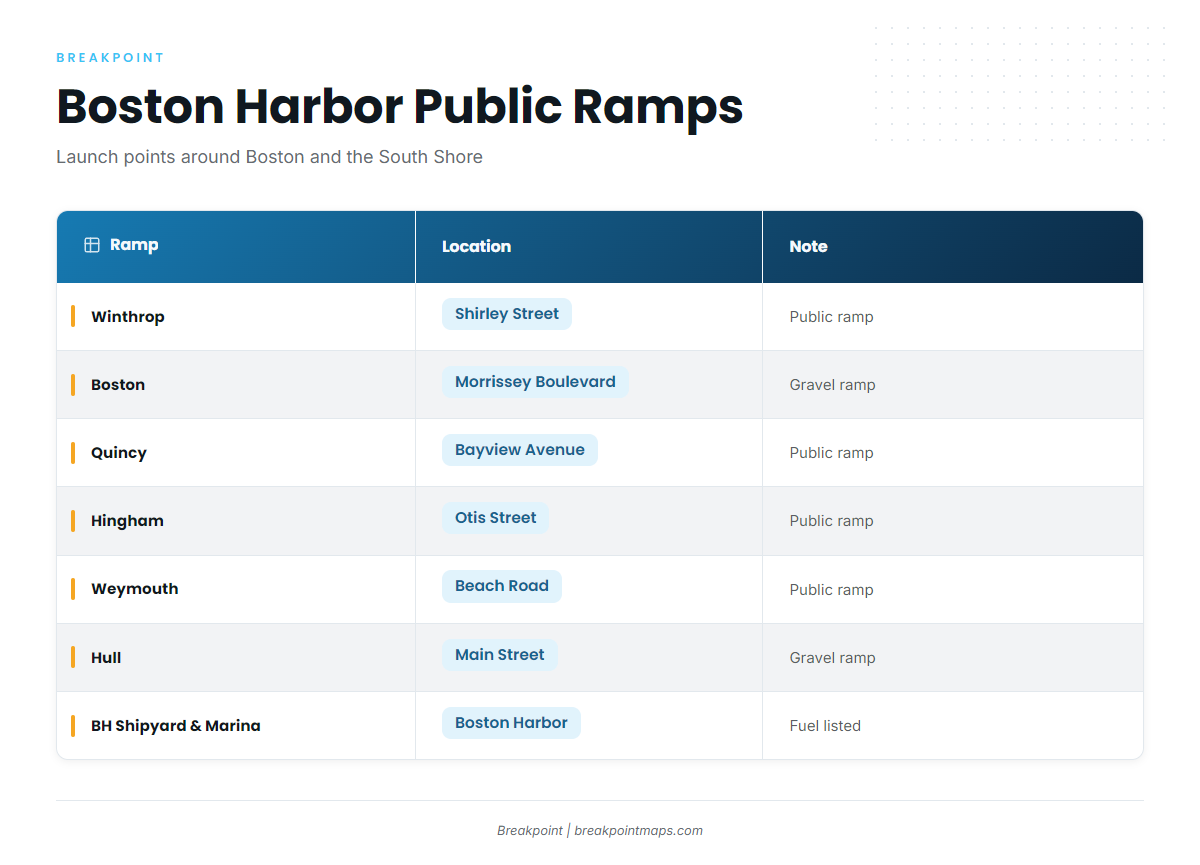
Public ramps and marinas around Boston and the South Shore harbors:
- Winthrop public ramp – Shirley Street, Winthrop
- Boston public ramp – Morrissey Boulevard, gravel ramp
- Quincy public ramp – Bayview Avenue, Quincy
- Hingham public ramp – Otis Street, Hingham
- Weymouth public ramp – Beach Road, Weymouth
- Hull public ramp – Main Street, gravel ramp
- Boston Harbor Shipyard & Marina – marina with fuel listed
The North Channel and President Roads
Most boats leave through the Boston North Channel, which faces northeast. Per NOAA Coast Pilot 1, Chapter 11, it is dredged 1,500 feet wide, 40 feet deep in the eastern 900 feet and 35 feet in the western 600 feet, and it is marked by lighted buoys. Finns Ledge, covered 27 feet, lies on the western side of the entrance. Shoal ground extends about 2 miles northeast from Deer Island. The South Channel is dredged 1,200 feet wide to 30 feet.
The channels converge at President Roads, a dense traffic area for fast ferries, merchant ships, tug and barge units and recreational boats. The Boston Traffic Separation Scheme is not necessarily intended for small vessels, and its separation zones are for crossing only. Voluntary security calls go out on VHF-FM channel 13.
Current runs strongest in the guts. At strength it is about 2 knots in Hull Gut, with the flood setting southward and the ebb northward, and about 2.5 knots in Nantasket Gut. Mid Nantasket Roads and the water between Boston Light and Point Allerton see about 1.5 knots. Wind force and direction change current speed a great deal, and when wind opposes the current, the water in the guts and the entrance can stand up more than the forecast alone suggests.
The southern alternative
The other way in or out runs south through Nantasket Roads and The Narrows, with Hull Gut and West Gut as links. The Narrows runs from Nantasket Roads northwest to President Roads. Nantasket Roads is a good anchorage, with depths up to 50 feet. If the northeast-facing North Channel looks bigger than you want, this route might suit you better.
The southeastern approach has its own hazards. Broken ground extends as much as 3 miles from shore. Thieves Ledge lies 2.3 miles east-northeast of Point Allerton with a least depth of 27 feet. A lighted whistle buoy marks it, and the sea sometimes breaks on it and nearby patches in heavy easterly gales.
Boats coming down from Cape Ann can follow the Coast Pilot route to the North Channel. From the south, the Coast Pilot advises a 4-mile berth off the coast from Scituate to Minots Ledge Light.
On arrival, look at the water and read the official NOAA marine forecast for Massachusetts Bay. If conditions look bigger than you want, switch approaches. Chart layers are not for navigation, so use NOAA charts 13270 and 13267 and Coast Pilot 1, Chapter 11 for the run in and out of Boston Harbor.
Fishing conditions
Massachusetts state waters run to 3 nautical miles, and federal waters lie beyond. That line decides which rules apply: striped bass are an inshore fishery, and bluefin fall under NOAA’s Highly Migratory Species office. Read the MassDMF recreational saltwater regulations before you fish.
The named grounds:
- Stellwagen Bank – the main offshore ground, with much of it beyond 3 nautical miles
- Sculpin Ledge Channel fish haven – a charted fish haven
- Boston Harbor Islands – inshore structure
- Outer harbor ledges near Boston Light – rock and broken ground close to the entrance
The Outer Boston Harbor Restricted Area, a Marine Protected Area, extends 5.5 miles offshore from Hull to Nantasket. Check MassDMF for any limits it carries.
Three rules decide most trips. Federal waters are closed to striped bass. Cod has seasonal closures, so check MassDMF before you go. Bluefin requires the federal HMS permit and follows HMS rules.
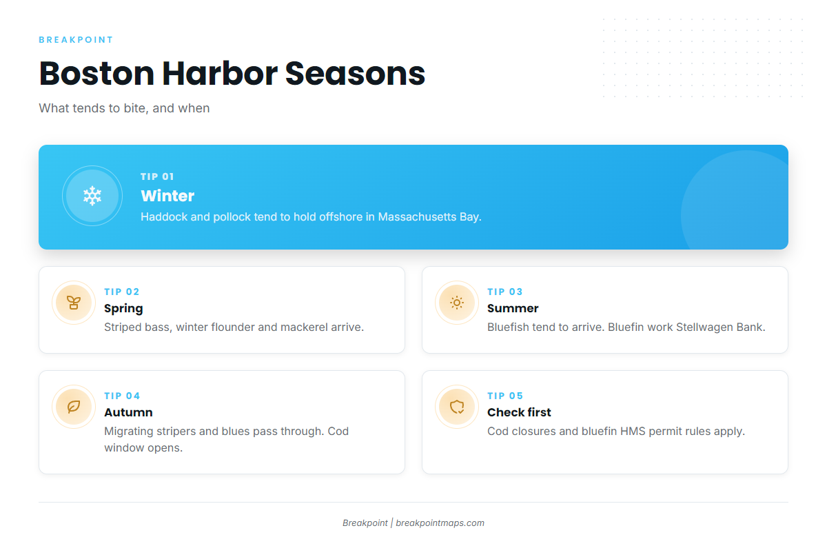
Winter
Offshore groundfish, mainly haddock and pollock, carry the season in Massachusetts Bay. Cod closures apply, so check MassDMF for the current windows.
Spring
Striped bass arrive in Boston Harbor and around the islands, alongside winter flounder and mackerel. Migrating striped bass tend to spread through the inner harbor by late spring. A spring cod closure applies, so check MassDMF.
Summer
Bluefish tend to arrive, and bluefin on Stellwagen Bank become the offshore draw. You need the federal HMS permit for bluefin.
Autumn
Migrating striped bass and bluefish move through the harbor, and bluefin tend to persist offshore. The cod window opens, and MassDMF has the dates.