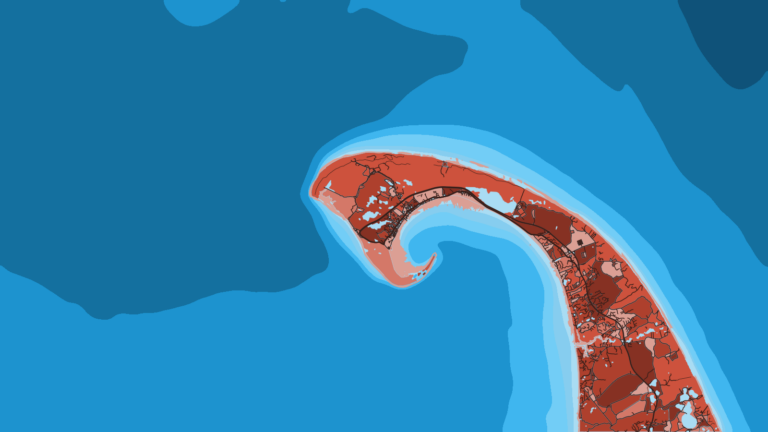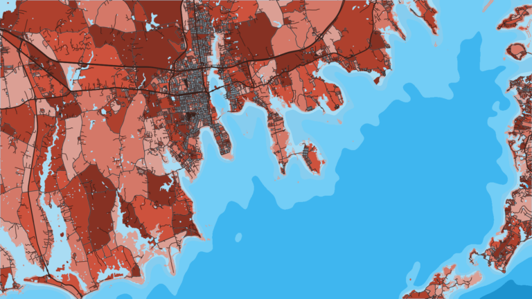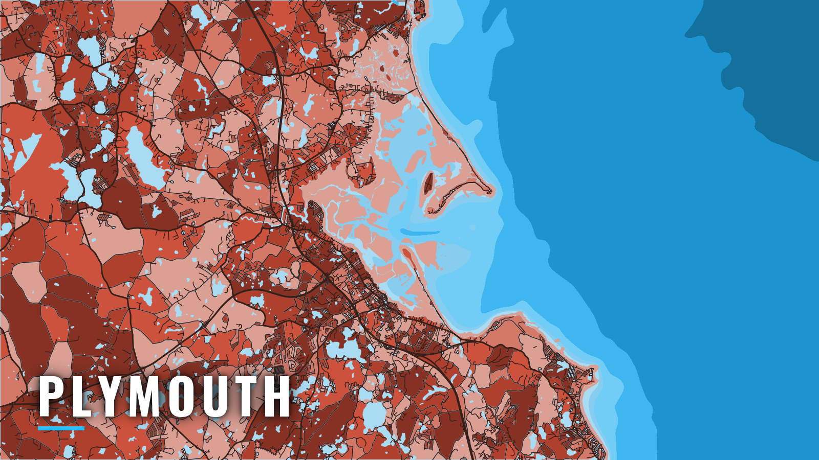

About Plymouth
Plymouth Harbor sits on the western shore of Cape Cod Bay and is reached through Plymouth Bay and a dredged channel. It belongs to the wider Atlantic Northeast fishing guide picture and fishes from inshore bass to offshore bluefin. Ice tends to close the harbor in January and February, and the boating season runs around that closure. The core targets are striped bass, haddock and bluefin tuna. Size, bag and season rules are on our Massachusetts page.
Access and navigation
Plymouth has one state ramp on the harbor, with a marina and a town pier across the shared bay.
- Leo F. DeMarsh State Boat Rampstate ramp on Plymouth Harbor, launch fee, ticket machine and seasonal pass. The lot can fill on summer weekends.
- Safe Harbor Plymouthslips, fuel listed.
- Duxbury Town Piertown ramp and pier, run by the Duxbury Harbormaster.
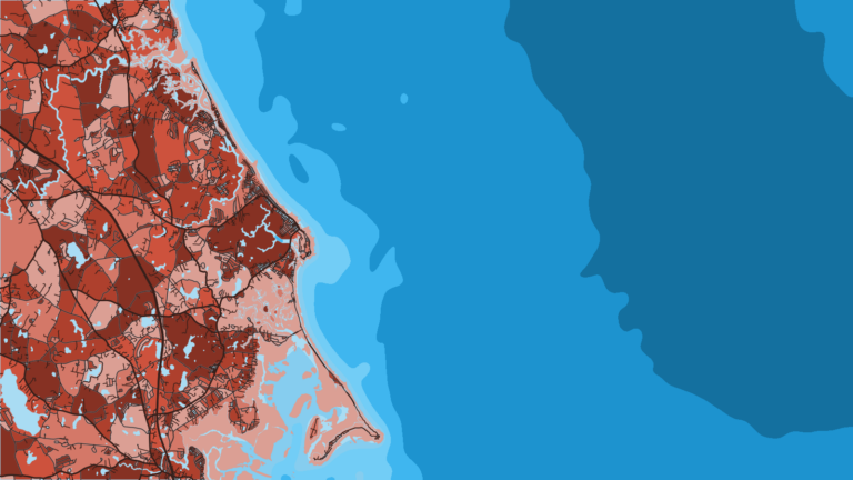
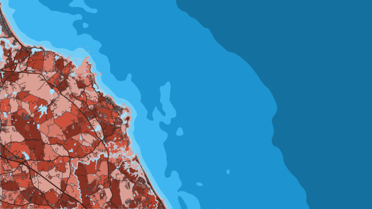
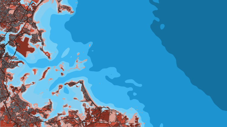
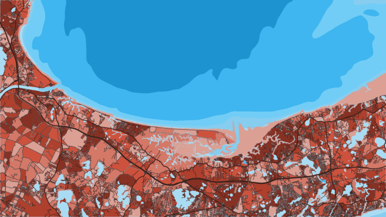
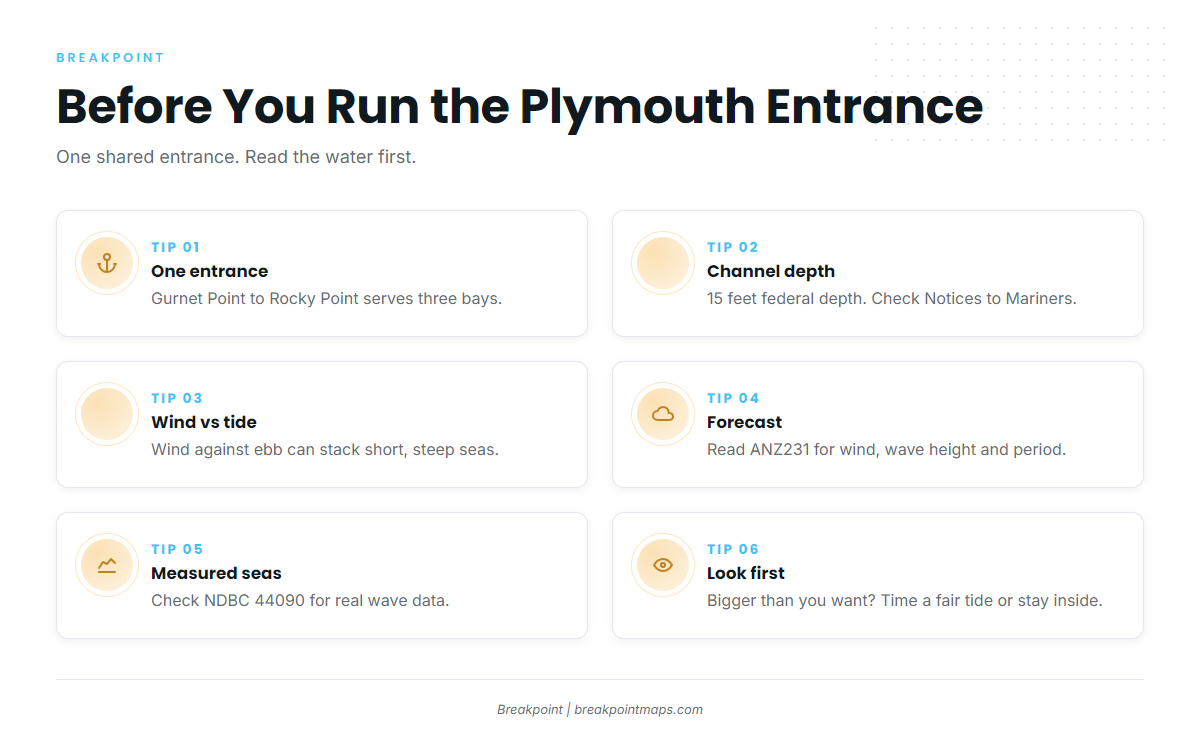
Plymouth, Kingston and Duxbury Bays share one entrance between Gurnet Point and Rocky Point. Plymouth Bay runs about 2.5 miles west from it. Browns Bank sits mid-bay, with the entrance channel to the north of it. The Plymouth Harbor Channel is dredged and about 2 miles long, running from 0.3 mile southwest of Duxbury Pier Light (Bug Light) to the State Pier. Its federal project depth is 15 feet, and controlling depths change, so check Notices to Mariners. Most of Plymouth Harbor dries at low water. High Pine Ledge is awash at low water about 0.8 mile off Duxbury Beach, with a buoy on its east side. The Coast Pilot names the harbor as an anchorage for vessels bound for Barnstable waiting out northerly weather, since it is well sheltered.
Between Gurnet Point and Bug Light the current reaches about 1.4 knots at strength. The ebb sets south and east across Browns Bank. The flood sets north and west above Saquish Head and sweeps around Duxbury Pier Light into Cowyard. Wind against the ebb across Browns Bank can stack the water into short, steep seas.
There is no second sea entrance. Inside, the Duxbury and Kingston channels are narrow, crooked and unmarked in places, between flats that bare at low water. On arrival, look at the water and read ANZ231. If conditions look bigger than you want, time the run for a fair tide or stay inside Plymouth Bay.
Where to read conditions:
- NWS Cape Cod Bay forecast (ANZ231) – wind, wave height and period.
- NDBC Station 44090 buoy – Cape Cod Bay waverider, measured seas.
- U.S. Coast Pilot 1, Chapter 12 – entrance, channel and ice notes.
Fishing conditions
The grounds are Cape Cod Bay outside the entrance, then the offshore run to Stellwagen Bank and Jeffreys Ledge. MassDMF sets state-waters rules, and tuna fall under NOAA’s Highly Migratory Species office, which requires an HMS permit. Check both before fishing, starting with the MassDMF recreational saltwater fishing regulations.
| Ground | What runs there |
|---|---|
| Cape Cod Bay | Striped bass, bluefish, haddock, flounder and fluke, black sea bass, scup, tautog |
| Stellwagen Bank | Bluefin tuna, sharks, haddock, pollock |
| Jeffreys Ledge | Haddock, pollock, bluefin tuna |
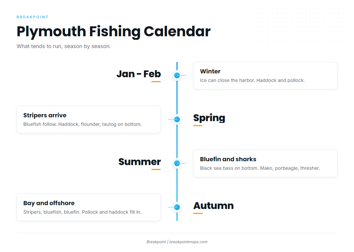
Winter
Ice tends to close the harbor from about the first of January through February. Westerly winds tend to carry ice out, northwesterlies sometimes bring it in, and southerlies clear it. Haddock and pollock are the winter fish. The Gulf of Maine haddock season, which includes Cape Cod Bay, runs April 1 to February 28.
Spring
Striped bass arrive first, and our striped bass guide and Northeast striper page cover the run. Bluefish follow. The bottom group is haddock, flounder and fluke, black sea bass, scup and tautog. Stripers fall under a slot limit, so check MassDMF.
Summer
Bottom fish stay on, and the black sea bass guide covers that fishery. Bluefin show as school fish and giants, and the bluefin tuna guide and Northeast bluefin page cover both. Bluefin is the tuna of Cape Cod Bay. For warm-water yellowfin, see the yellowfin guide and its Northeast page. Sharks include mako, porbeagle and thresher. MassDMF prohibits mako in state waters, so check the rules. Before the run to Stellwagen, read OBS SST and Chlorophyll for temperature breaks and bait water. Chart layers are not for navigation.
Autumn
Stripers and bluefish work the bay, and bluefin and sharks stay on. Pollock and haddock fill in on the bottom. Cod has seasonal closures and short openings, so check MassDMF before keeping one.