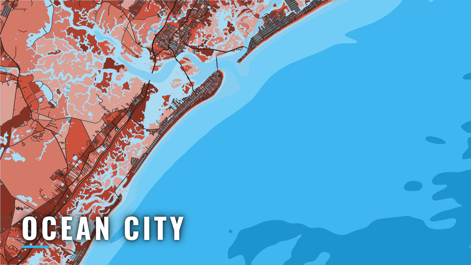

About Ocean City
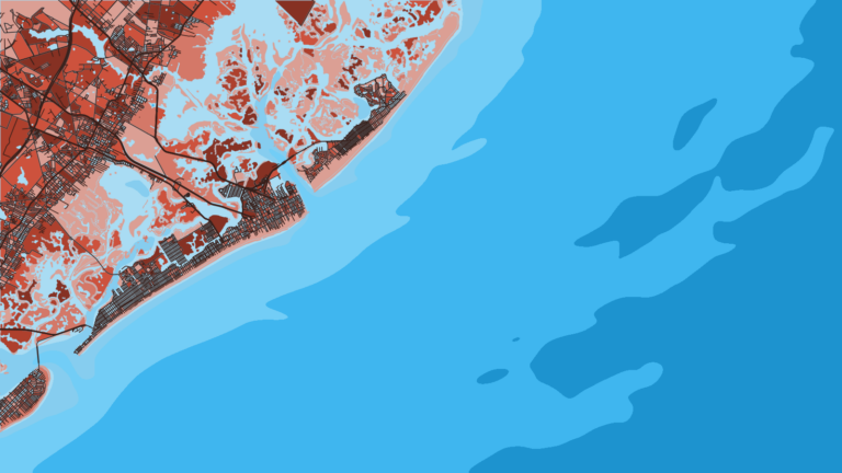
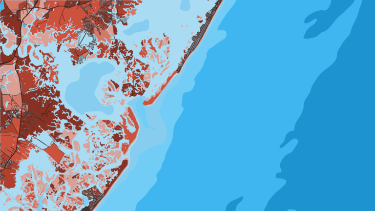
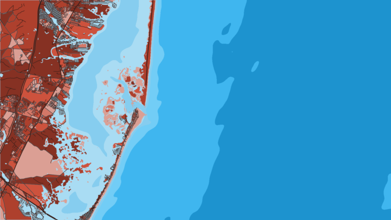
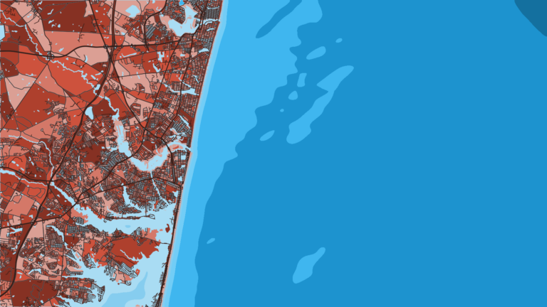
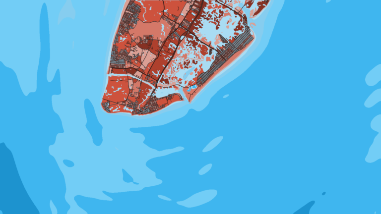
Ocean City sits on the southwest side of Great Egg Harbor Inlet on the New Jersey coast, opening to Great Egg Harbor Bay and the Atlantic. Offshore and nearshore fishing runs through the year. Striped bass, summer flounder, black sea bass, tautog, tuna and mahi-mahi are the main species across the seasons. Reefs and wrecks lie close to the inlet, and the pelagics are out toward the canyons along the shelf edge.
Anyone 16 or older needs the NJ Saltwater Recreational Registry, which is free. NJDEP marine fishing rules change by season, so check them before you fish.
Access and navigation
Every offshore run from Ocean City starts at one of a handful of bayside ramps and marinas and goes out through Great Egg Harbor Inlet.
Public ramps and marinas:
- Ocean City Municipal Ramp – city-run concrete ramps on Tennessee Avenue.
- Smith’s Pier – Somers Point ramp, listed in the NJDEP boat ramp guide.
- Bayshore II Restaurant & Marina – Somers Point ramp, listed in the NJDEP boat ramp guide.
- Seaview Harbor Marina – Longport, fuel.
- All Seasons Marina – Marmora, fuel.
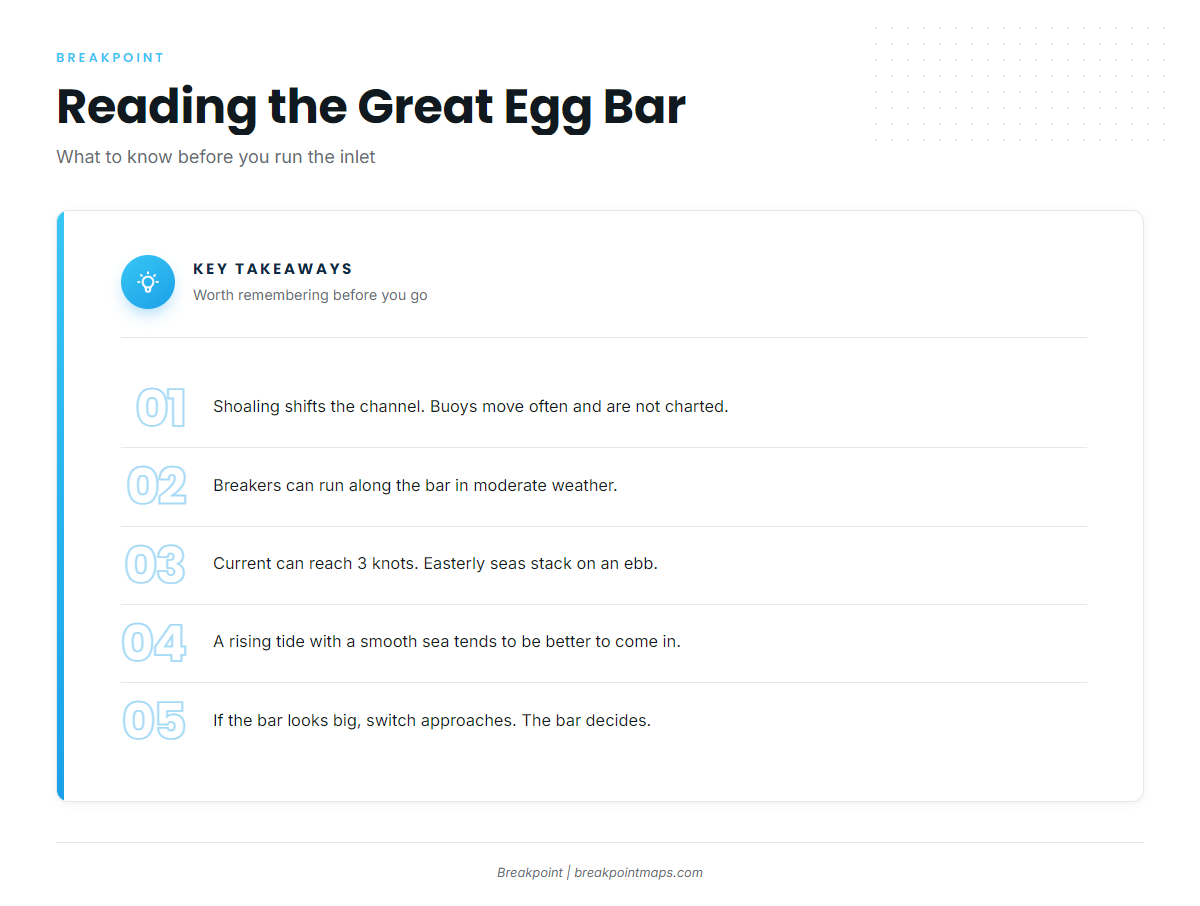
Great Egg Harbor Inlet can shoal severely and change continually. Buoys are often shifted to mark the best water, so they may not be charted, and breakers can extend along the bar even in moderate weather. Many local fishing and pleasure boats with drafts up to 5 feet use the inlet, per the U.S. Coast Pilot 3. Because the chart may not show where the buoys sit on a given day, follow the buoys in the water.
Current can reach 3 knots in New Jersey inlets and the narrow channels behind them, and the crossing here tends to run strong. The inlet is exposed to heavy easterly seas, and strong winds from northeast through south, especially on an ebb, can stack steep seas on the bar. A rising tide with a smooth sea is usually the better time to come in.
Two routes reach the inner side of Ocean City from ICW mile 75.4:
- West of the Longport waterfront and across the inlet. Deeper water, but a fixed highway bridge with 25 ft of clearance, strong current and exposure to easterly seas.
- Risley Channel and Broad Thorofare. Protected, but subject to continuous shoaling, and the fixed Route 152 bridge on it has 56 ft of vertical clearance.
Pick the route that fits your air draft and the conditions. If the bar looks bigger than you want, Absecon Inlet lies 7 miles to the northeast. The Intracoastal Waterway also runs south toward Townsends Inlet past Sea Isle City.
On arrival, look at the water at the bar and read the NWS Mount Holly ANZ453 forecast for Great Egg Inlet to Cape May, out 20 NM. Time the crossing with NOAA tide station 8534836, check observed seas on the NDBC buoy observation map, and carry current charts from the NOAA interactive chart catalog. If the bar looks bigger than you want, switch approaches. The forecast is only a forecast, and conditions at the bar take precedence.
Fishing conditions
For how the pelagic season builds along the Northeast shelf, see our Atlantic Northeast fishing guide.
Ocean City Reef sits in 55 to 70 ft, a 7.4-mile ride from Great Egg Harbor Inlet, and includes the Libra, a hopper scow. Great Egg Reef is the other named reef close to the inlet. The NJDEP Artificial Reef Program’s Artificial Reef Deployments map lists nearly 4,000 public deployments with type, material and location. Fish on reefs hold tight to structure and take hooks and sinkers, so bring spares.
Offshore, the pelagic grounds are the canyons along the shelf edge. A federal HMS permit from the Atlantic HMS permit portal is required for tuna, billfish, swordfish and sharks, and sharks also need the shark endorsement.
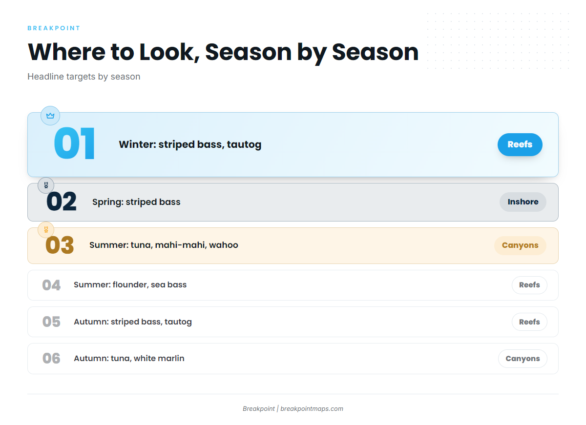
| Season | Reefs and inshore | Offshore |
|---|---|---|
| Winter | Striped bass, tautog, black sea bass | None listed |
| Spring | Striped bass | None listed |
| Summer | Summer flounder, black sea bass, bluefish, scup, weakfish | Tuna, mahi-mahi, wahoo, sharks |
| Autumn | Striped bass, tautog, black sea bass, scup, weakfish | Sharks, tuna, mahi-mahi, wahoo, white marlin |
Winter
Striped bass, tautog and black sea bass hold the reefs and wrecks. Black sea bass rules change by date, so check NJDEP before you go.
Along the New Jersey coast, strong winds are most often a problem from November through March, and seas run highest from September to March. Waves of 8 ft or more occur in deep water about 15 to 25 percent of the time in January, and large seas are most likely with west and northwest winds of 20 knots or more. Check the forecast before committing to the reefs.
Spring
Striped bass is the spring target here. Plan the return through the inlet with the tide. A rising tide with a smooth sea is usually the better time to come in, and an ebb against an onshore wind can make the bar steeper than the forecast suggests.
Summer
Offshore, the summer targets are tuna, mahi-mahi, wahoo and sharks. Nearshore and on the reefs, summer flounder, black sea bass, bluefish, scup and weakfish fill the bag.
Pelagics follow temperature edges and color changes. We built the OBS SST and Chlorophyll layers in Breakpoint to show where those edges set up before you run, and Chart Contours to show where they cross bottom structure. Cloud can block a satellite pass, so a clear pass means good data for that day and no guarantee of fish. Chart layers are not for navigation.
Autumn
On the reefs and inshore, striped bass, tautog, black sea bass, scup and weakfish are the autumn fish. Offshore, sharks, tuna, mahi-mahi, wahoo and white marlin are on the list.
Seas start running higher from September. Gales of 34 knots or more occur 3 to 5 percent of the time along this coast, slightly more often between Atlantic City and Cape May. Check the weather window and the bar before you commit to the shelf edge.