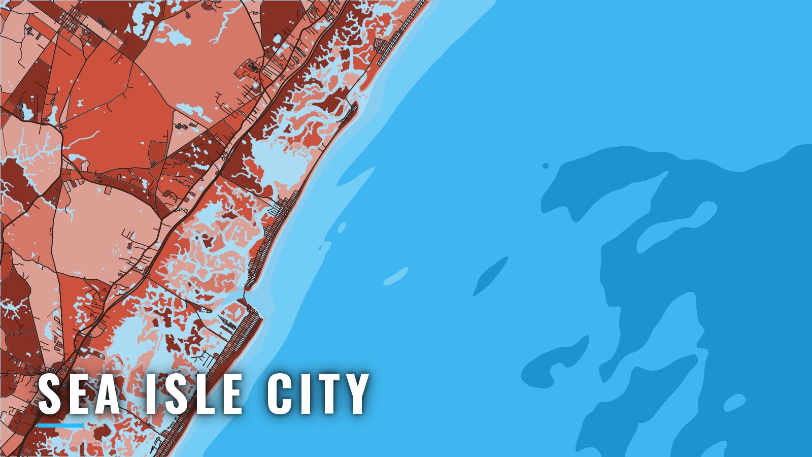

About Sea Isle City
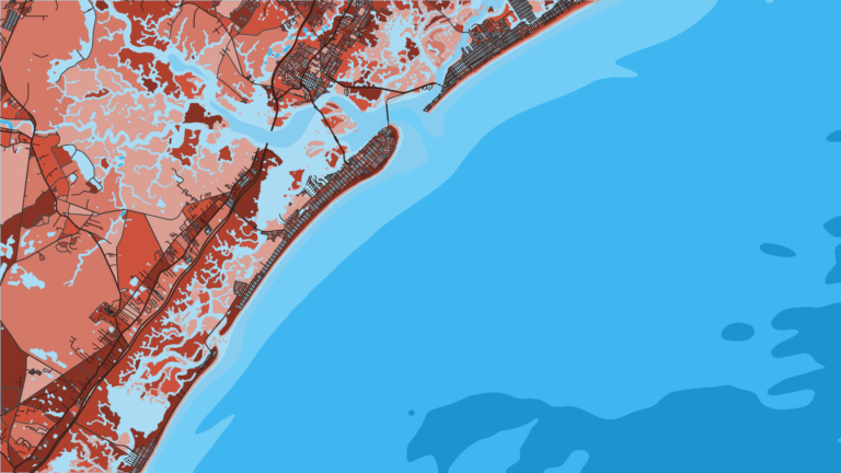
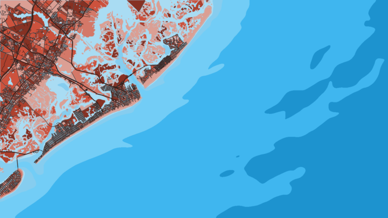
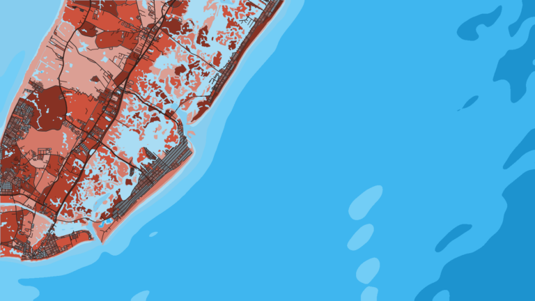
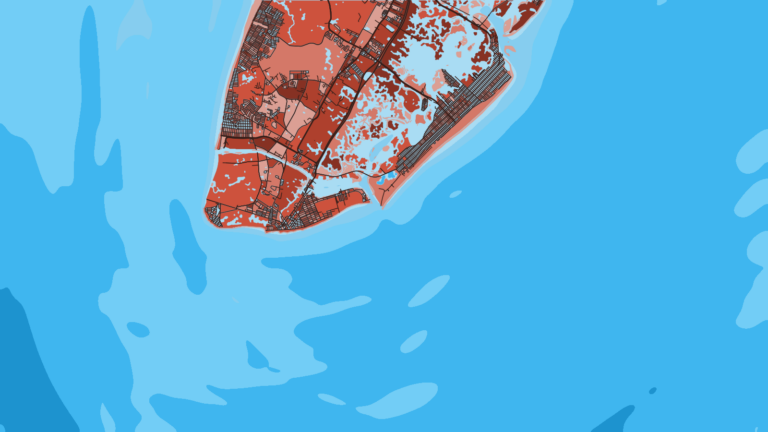
Sea Isle City’s bayside basins sit on Ludlam Thorofare and run along the Intracoastal Waterway to Townsends Inlet and the Atlantic. The port fishes year-round, with most of the activity from spring to autumn. Day trips are mostly reef and wreck bottom fishing for tautog, black sea bass, summer flounder, striped bass, bluefish and porgies, with canyon water beyond. It is one of the inlets covered in our New Jersey offshore ports coverage. This page explains how to get out and where the offshore grounds sit by season.
Access and navigation
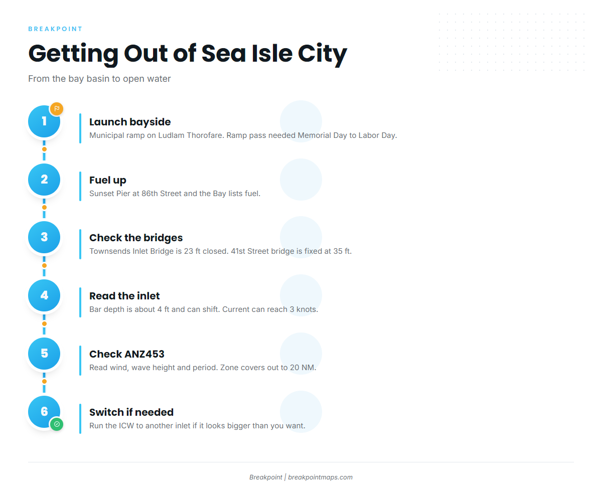
Two public options serve boaters who run their own boats:
- Sea Isle City Municipal Marinabayside ramp and seasonal slips. A ramp pass is required from the weekend before Memorial Day to the weekend after Labor Day, with fees on the city site.
- Sunset Pierat 86th Street and the Bay, with fuel listed.
Townsends Inlet
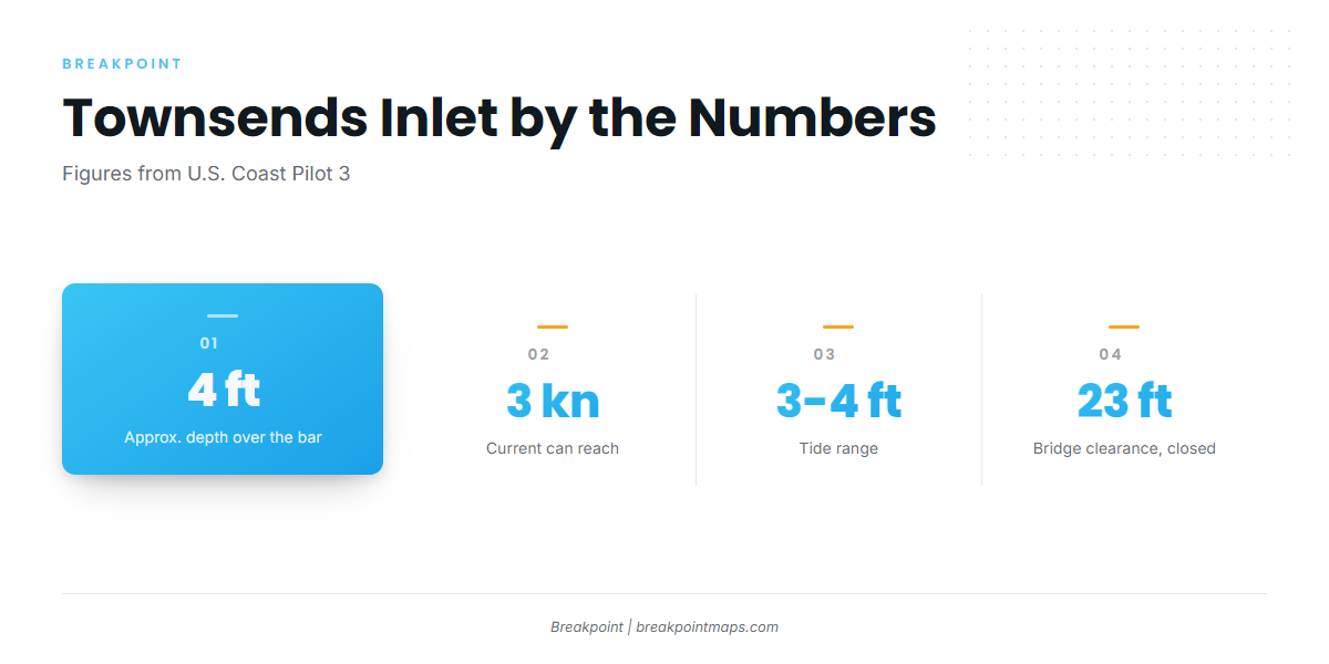
The U.S. Coast Pilot 3 notes describe an inlet that changes in position and depth, with about 4 ft over the bar. Channel buoys are moved often and are not charted. Numerous wrecks and obstructions lie in the approaches from seaward. Current can reach 3 knots in the inlet and the narrow channels behind it, and the tide range is 3 to 4 ft.
Shoaling tends to move the deepest water, and the bar can break. Entry is usually best on a rising tide with a smooth sea. The chart may not match the buoys on the water, and every ground distance later on this page is measured from an entrance that moves.
Bridges
The Townsends Inlet Bridge is a bascule span with 23 ft of clearance when closed. The fixed bridge at 41st Street on Ludlam Thorofare has 35 ft of clearance, which matters if you run a tower or T-top. A past report describes a sandbar across the east approach to the drawspan, with loss of steering and a clockwise current at the base of the bridge. Conditions there tend to be worst in south winds and on the flood.
Alternative approaches
If Townsends looks like more than you want, the Intracoastal Waterway offers two inside runs. North leads to Great Egg Harbor Inlet. South is the inside run south toward Hereford Inlet. The waterway is dredged to 6 ft in this reach, but 3 ft or less can be found in places, particularly inside the inlets. Coast Pilot 3, Chapter 5 covers that stretch.
Forecast and arrival
Read the NWS ANZ453 coastal forecast, which covers Great Egg Inlet to Cape May out 20 NM. The NDBC station 44009 observations come from the Delaware Bay buoy, 26 NM southeast of Cape May. The zone ends at 20 NM, so canyon runs leave its coverage. Read wind, wave height and period, and decide from the numbers.
On arrival, look at the inlet and recheck the ANZ453 forecast. If conditions look bigger than you want, switch approaches.
Anglers 16 and older need to be in the NJ Saltwater Recreational Registry, which is free. Size, bag and season rules are set by NJDEP Marine Fisheries, so check them before fishing.
Fishing conditions
The grounds step out from reef structure close to the beach to canyon water at the shelf break. Seasonal timing follows the pattern described in how the season moves up the coast.
Reefs
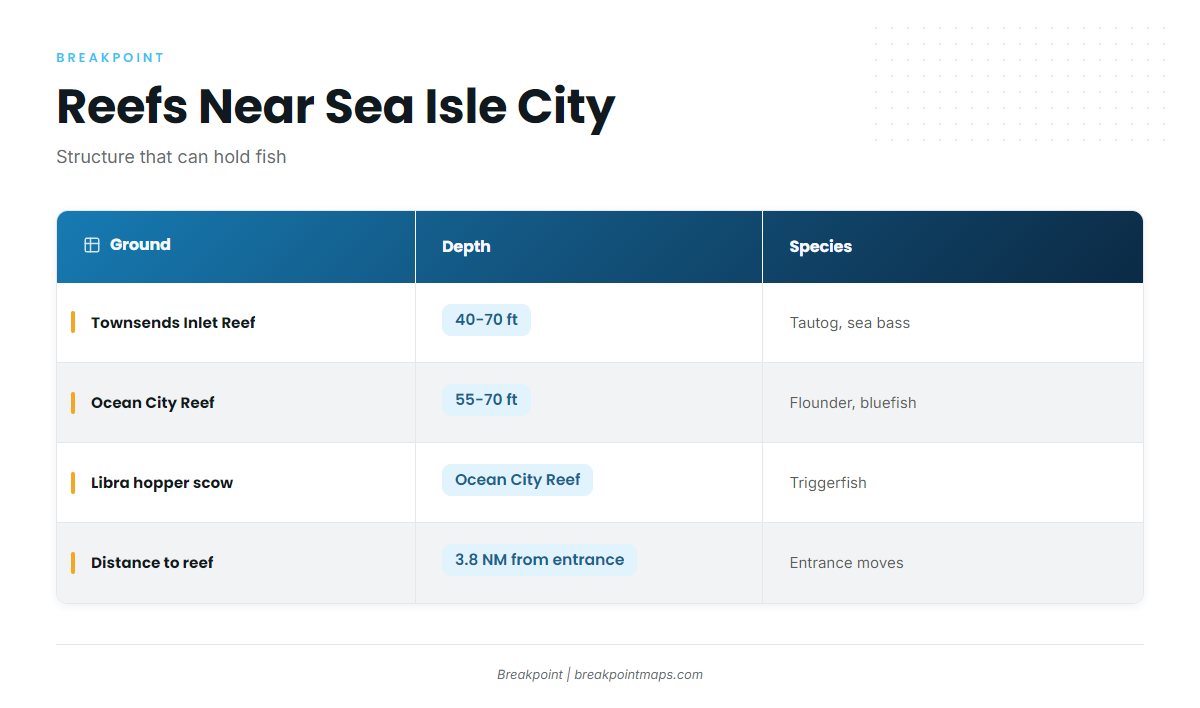
Townsends Inlet Reef sits 3.8 NM from the entrance in 40 to 70 ft. Ocean City Reef lies in 55 to 70 ft and holds the Libra hopper scow. The NJDEP Artificial Reef Program names tautog, black sea bass, summer flounder, bluefish and triggerfish on its reefs. Fish hold tight to structure and can take hooks and sinkers. The Artificial Reef Deployments map lists nearly 4,000 public deployments.
Canyons
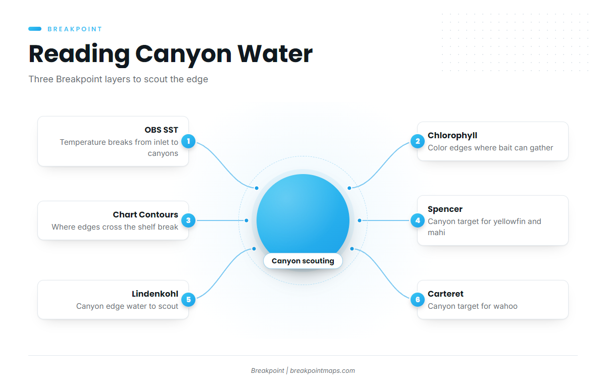
Spencer, Lindenkohl and Carteret canyons are the named canyon grounds. Yellowfin are a canyon target, covered in yellowfin tuna in the Atlantic Northeast. Mahi are found along the canyon edges, covered in mahi-mahi in the Atlantic Northeast. Wahoo are also a canyon target, covered in wahoo in the Atlantic Northeast. Those guides have the timing. Tunas need a federal HMS Angling permit.
Our OBS SST layer shows temperature breaks between Townsends Inlet and the canyons. Chlorophyll shows color edges. Chart Contours shows where those edges cross the shelf break. Chart layers are not for navigation.
Winter
Tautog hold on reef and wreck structure.
Spring
Tautog, black sea bass and porgies work the structure, with bluefish and striped bass moving through. Check NJDEP for striped bass rules before you fish.
Summer
Summer flounder, black sea bass, triggerfish, porgies, kingfish and Atlantic croaker fish the nearshore water, and cobia show up along it. Canyon pelagics add to the mix. The yellowfin tuna technique guide and the mahi-mahi fishing guide cover how to fish them.
Autumn
Black sea bass, tautog, bluefish, porgies and striped bass work the reefs and nearshore water. For the canyons, the wahoo fishing guide is the pointer. Reef fish stay tight to structure well into the cold water.