
About Port Mansfield
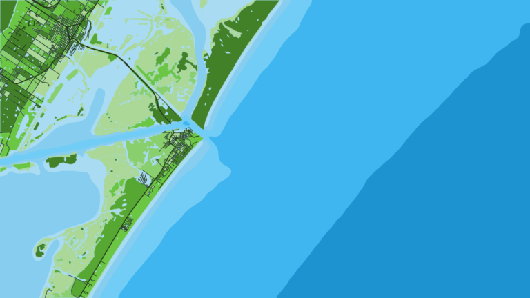
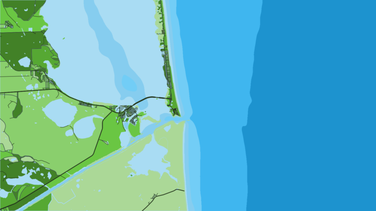
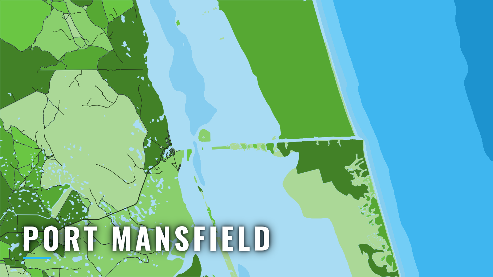
Port Mansfield is a Lower Laguna Madre harbor with offshore fishing reached through a jettied channel cut across Padre Island. The Willacy County Navigation District manages the harbor. The Port Mansfield Channel is a dredged land cut with jetties at the Gulf entrance, and it opens to the Gulf of America (Gulf of Mexico), part of the western Gulf. Boats fish here year-round, though winter cold fronts can limit the days you get offshore.
Offshore anglers target king mackerel (kingfish), cobia (ling), red snapper, blackfin tuna, mahi-mahi, wahoo, sailfish and blue marlin. Size, bag and season rules are on our Texas regulations page.
Access and navigation
Two facilities cover launching, fuel and slips:
- Mansfield Marina – fuel dock, live and frozen bait, ice, tackle, boat ramp.
- Port of Port Mansfield harbor – Willacy County Navigation District slips for lease, public ramps on the harbor, posted weather advisories and warning flags.
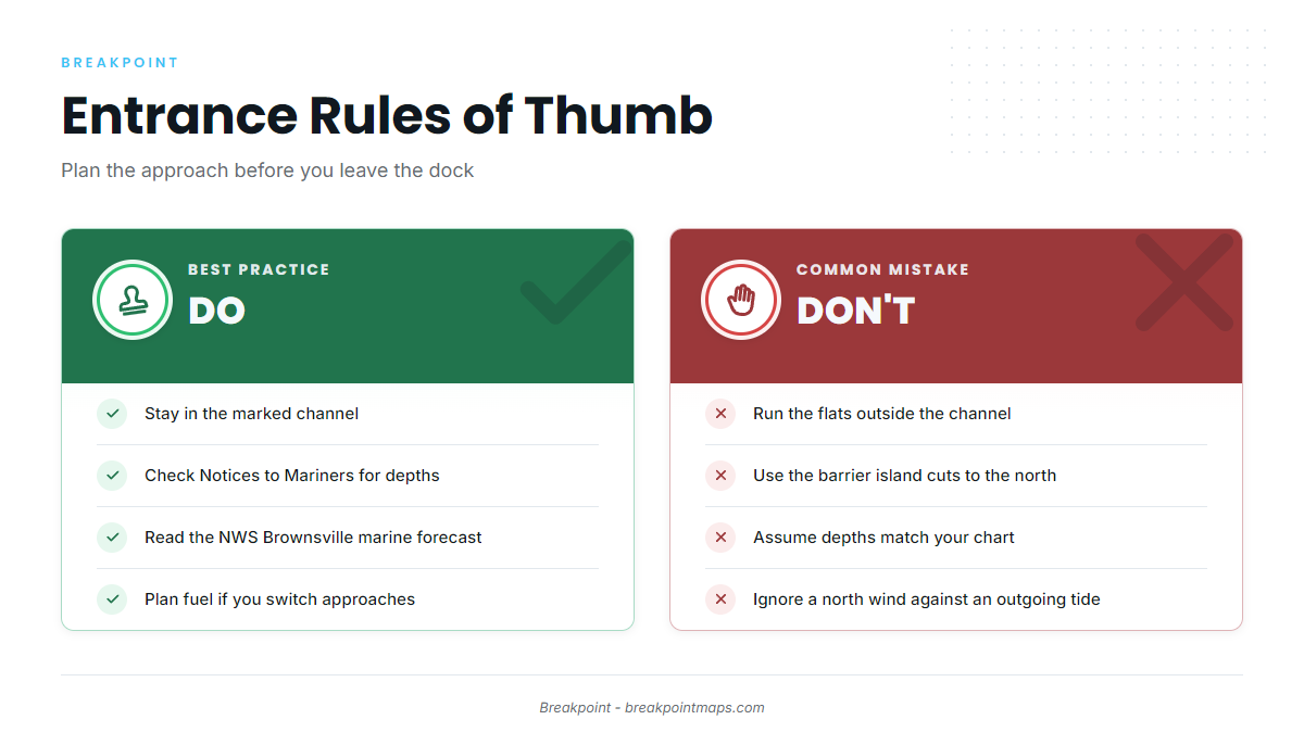
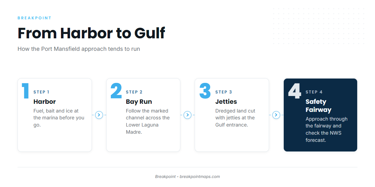
From the harbor, the run to the jetties follows the marked Port Mansfield Channel across the Lower Laguna Madre. Flats outside the channel can be shallow, so stay in the marked channel.
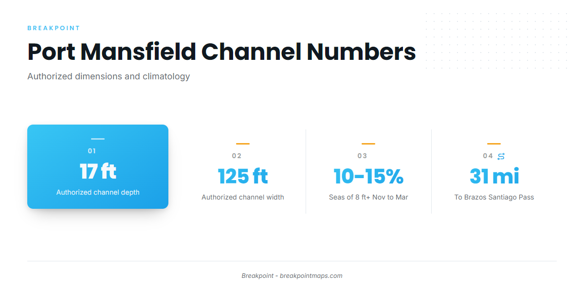
Natural shoaling has reduced navigable depths in the channel in the past. The port authority reports that maintenance dredging restored authorized dimensions of about 17 feet deep and 125 feet wide from the jetties through the harbor and turning basin. Depths can change between dredging cycles, so take controlling depths from Notices to Mariners and current charts rather than from this page. NOAA Coast Pilot 5 also points to Notices to Mariners.
The entrance tends to follow the wind. Southeasterlies predominate through much of the year, and northerlies and northeasterlies account for most winds over 20 knots. Offshore seas of 8 feet or more occur 10 to 15 percent of the time from November through March. The channel axis runs close to east-west, so a winter front tends to bring north to northeast wind across and against it, and the entrance can stand up when a north wind opposes an outgoing tide.
From the Gulf, vessels approach through the Port Mansfield Safety Fairway and may anchor off the entrance on either side of it.
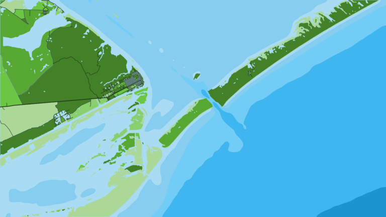
Do not use the openings to the north. Hurricanes have cut openings through the barrier island, many in the stretch beginning about 6 miles north of the Port Mansfield Channel and running 20 miles north. The Coast Pilot says these should not be used for navigation.
The alternative approach is Brazos Santiago Pass, 31 miles south of the Port Mansfield entrance. That is a long way around, so plan fuel for it before you leave the dock.
NWS Brownsville issues forecasts for the Laguna Madre zones (GMZ132 and GMZ135) and the Gulf zones (GMZ150, GMZ155, GMZ170 and GMZ175), and the harbor office posts advisories and warning flags. Check the water and the NWS Brownsville marine forecast when you arrive, and switch approaches if conditions look bigger than you want.
Fishing conditions
The grounds below start at the jetties and run out to the nearshore reef. Seasonal patterns follow.
Grounds
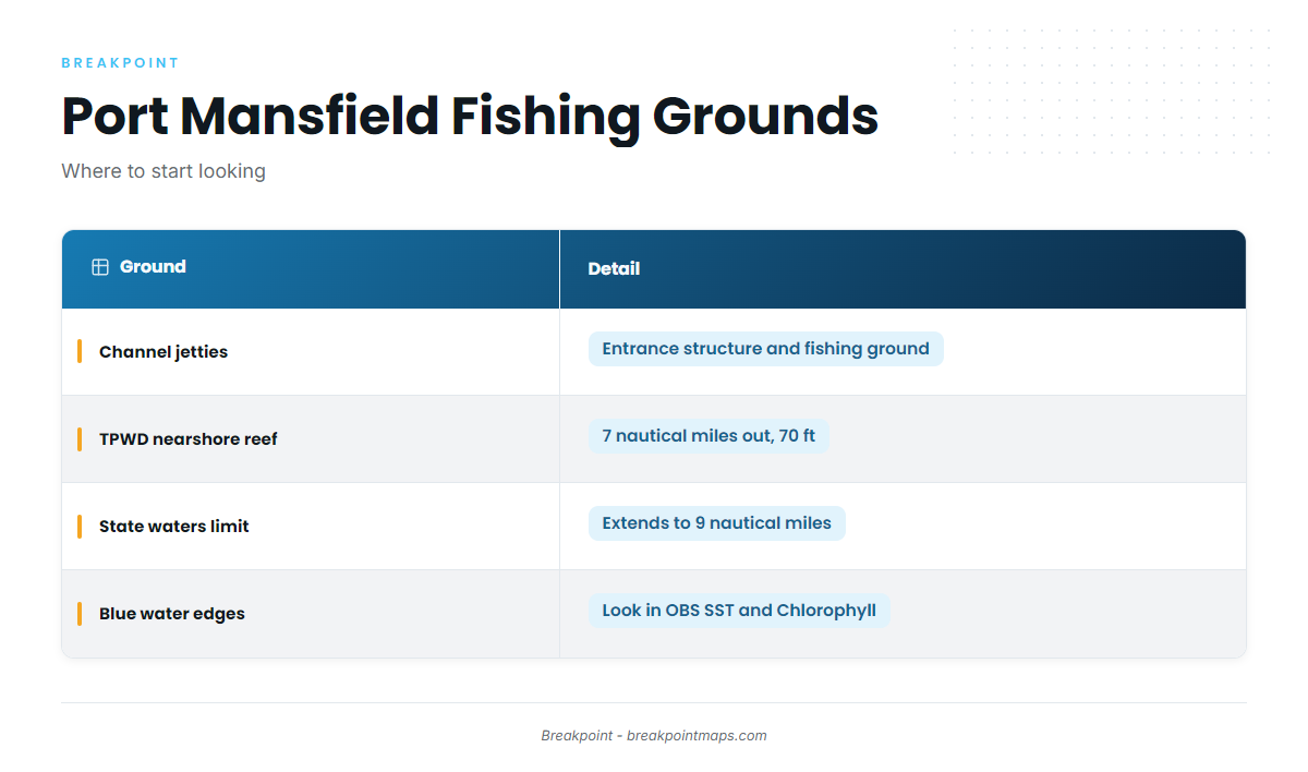
- Mansfield Channel jetties – the entrance structure, and a fishing ground in its own right.
- TPWD nearshore reef – a TPWD public reef site 7 nautical miles from the entrance in 70 feet. Texas state waters run to 9 nautical miles, so the reef sits in state waters. Red snapper hold on structure like this, and red snapper on structure is covered in our species guide.
Beyond the reef, edges in OBS SST and Chlorophyll can point to where blue water and weed lines sit, which helps decide where to start looking. Chart layers are not for navigation.
Winter
Fronts and offshore seas of 8 feet or more tend to limit offshore windows. State-waters red snapper is open year-round, and TPWD sets the federal season, so check the TPWD red snapper rules before fishing. As water cools, wahoo can work deeper structure.
Spring
Kingfish tend to show on nearshore structure, and cobia (ling) are a target too. Southeasterlies predominate as the frontal season fades.
Summer
Red snapper and blackfin tuna work the reefs, and TPWD sets the federal-waters red snapper season beyond 9 nautical miles. Blue water and weed lines can hold mahi-mahi in the Gulf and wahoo in blue water, with sailfish and blue marlin as possible bonus fish.
Autumn
Blackfin tuna and red snapper continue, and mahi-mahi can linger on weed lines, with tactics in our mahi-mahi guide. The first fronts bring north to northeast wind against the east-west channel, so check the forecast before you commit to the run.