
About Virginia Beach
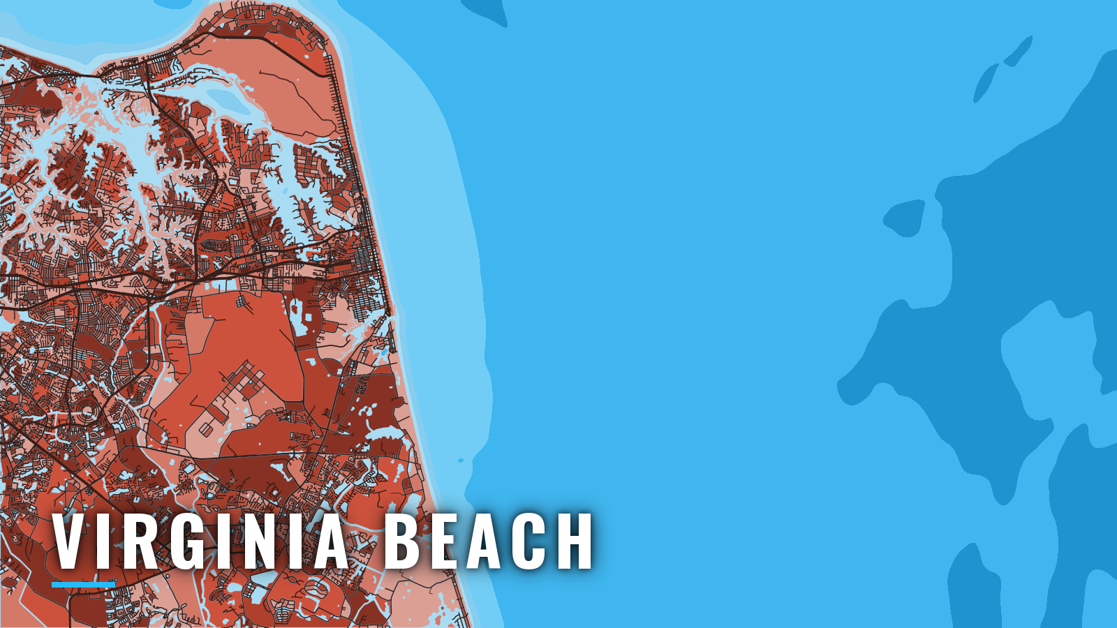
Rudee Inlet is the main ocean inlet for Virginia Beach offshore boats. It sits at the south end of the oceanfront, about 6 miles south of Cape Henry Light, with the Chesapeake Bay entrance to the north. Offshore fishing here runs year-round and peaks in summer, when warm water pushes onto the shelf.
Boats out of Virginia Beach target striped bass, black sea bass, tilefish, cobia, yellowfin, bigeye and bluefin tuna, white and blue marlin, mahi and wahoo. This guide follows the order a boat owner uses it: where to launch, how to get out, where to fish, and when. Virginia rules and licenses are on our Virginia fishing rules page, and VMRC sets Virginia saltwater recreational rules, so check both before you fish.
Access and navigation in Virginia Beach
These ramps and marinas serve offshore boats:
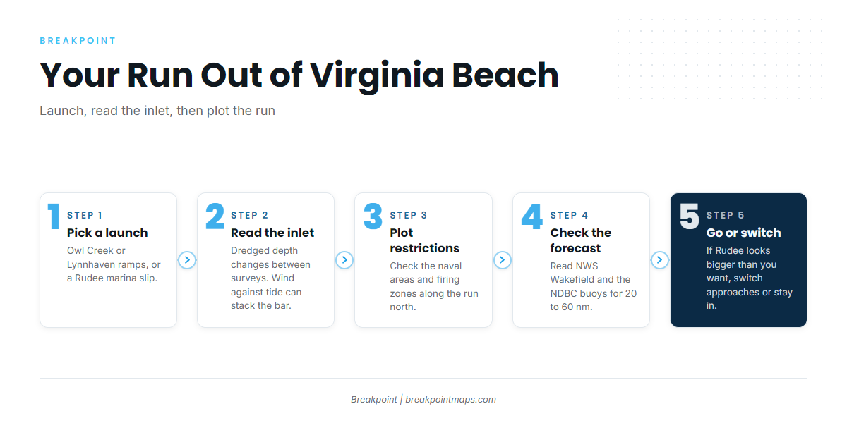
- Owl Creek Boat Ramp4 concrete lanes, temporary mooring, direct access to Rudee Inlet via Owl Creek.
- Lynnhaven Boat Ramp4 lanes on the bay side, trailer parking, lighting, restrooms.
- Fisherman’s Wharf Marina75 slips on Rudee, diesel, floating docks, pump-out.
- Virginia Beach Fishing Centerfuel, dockage and information on Rudee Inlet, open 7 days.
Rudee Inlet
According to the NOAA Coast Pilot 4, Rudee Inlet is a jetty-protected dredged channel. Dredging aims to hold it at 10 feet, but it shoals continually, so depth changes between surveys and the chart and the channel may not agree.
Wind against the outgoing tide can stack the bar at the jetty ends, so check the day’s wind speed, wave height and period instead of relying on a general description. Late-afternoon return traffic tends to crowd the inlet as the offshore fleet comes in, with personal watercraft working the wakes.
Clearances and restricted areas
Two fixed bridges, east and west, cross the arm of the inlet leading to Lake Rudee, each with 28 feet of clearance. Tower boats should check air draft before heading for slips behind them. Overhead power and telephone cables east of the bridge have a least known clearance of 54 feet.
Several restricted areas sit along the run north toward Cape Henry, so plot them before you leave:
- A naval restricted area runs north, east and southeast from Cape Henry.
- A prohibited area lies off Camp Pendleton.
- Firing danger zones lie 7 to 9 miles south of Cape Henry.
Vessels 65 feet or longer are limited to 10 knots from November 1 to April 30 within 20 nm of the Bay entrance.
The alternative approach
When Rudee looks bigger than you want, you can launch at Lynnhaven and run out through Lynnhaven Inlet to the Chesapeake Bay entrance and Thimble Shoal Channel. The run tends to be longer, but it is marked. Ship traffic uses Thimble Shoal Channel, so stay clear of deep-draft vessels and keep a radio watch.
Before you commit
On arrival, look at the water at the jetties. Read the NWS Wakefield marine forecast and the NDBC buoys linked from it. The 20 to 60 nm zone matters most on canyon days. The forecast is only a forecast, so if the water looks bigger than you want, switch approaches or stay in.
Fishing conditions
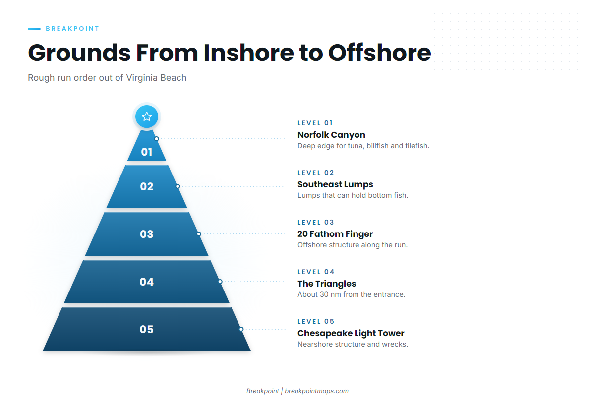
Offshore fishing at Virginia Beach peaks in summer, but the grounds produce something year-round.
| Ground | What it offers |
|---|---|
| Chesapeake Light Tower | Nearshore structure, first stop on the way out |
| 26 Mile Hill | Mid-range bottom ground |
| The Triangles | Wreck area about 30 nm from the entrance |
| 20 Fathom Finger | Mid-shelf structure |
| Southeast Lumps | Lumps that can hold bottom fish |
| Norfolk Canyon | Deep edge for tuna, billfish and tilefish |
Wrecks and lumps hold bottom fish, and Norfolk Canyon is the deep edge. It belongs to the chain of canyons covered in our Mid-Atlantic canyon fishing guide, which runs north. Gulf Stream temperature breaks and color edges tend to decide where pelagics hold, and they move day to day.
Before you choose between the Triangles and the canyon, check OBS SST and Chlorophyll in Breakpoint to see where the breaks sit. Chart layers are not for navigation.
Winter
Striped bass tend to be the cold-water target near the Bay entrance and along the coast. Rules differ by area and season, so check VMRC before you go. If your boat is 65 feet or longer, the 10-knot limit applies in these months.
Spring
Striped bass, flounder, tautog, red drum, speckled trout and spadefish can show as the water warms inshore and in the bay. Black sea bass work the wrecks and lumps. Rules change by season, so check VMRC.
Offshore, mako shark come first, then early tuna at Norfolk Canyon. Yellowfin tuna can arrive early, and bigeye tuna at Norfolk Canyon can follow. These runs happen often enough to plan around but can’t be counted on. Tuna, billfish and sharks require a federal HMS angling permit on the boat, so confirm you have it before you go.
Summer
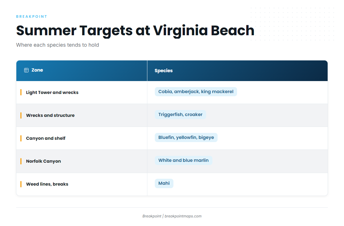
Nearshore, cobia, amberjack, king mackerel, triggerfish and croaker work around the Light Tower and the wrecks. Cobia rules are seasonal, so check VMRC.
Offshore, Atlantic bluefin tuna, yellowfin and bigeye can all be in play.
Billfish are the summer draw. The white marlin fishing guide covers the species, and white marlin in the Northeast covers the pattern along the Mid-Atlantic canyons. Norfolk Canyon can also hold blue marlin, covered in the blue marlin fishing guide.
Mahi tend to hold on weed lines and temperature breaks. Gulf Stream water carrying mahi and wahoo pushes up from the South Atlantic fishing grounds.
Autumn
Wahoo tend to show on the warm edges, and the wahoo fishing guide covers how to work them. Yellowfin and bigeye can hold at the canyon.
Inshore, striped bass, speckled trout and red drum return, with triggerfish on structure. Check the breaks and the 20 to 60 nm forecast before choosing a run.