
About Ilwaco
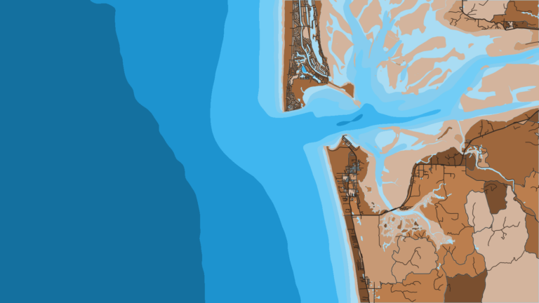
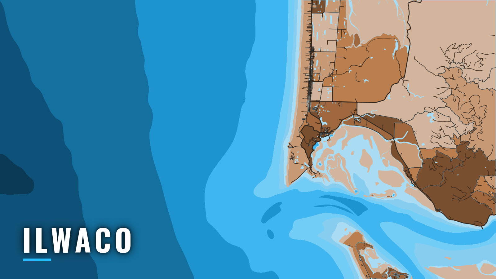
Ilwaco is a Columbia River port in Baker Bay, just inside the Columbia River Bar. The river has a single entrance to the Pacific, and Ilwaco is the main launch among the Washington offshore ports for the state’s southernmost ocean water. Boats from Ilwaco fish WDFW Marine Area 1, which lies west of the Buoy 10 line at the river mouth and runs from the Oregon-Washington state line north to Leadbetter Point. Marine Area 2 (Westport) and Marine Area 3 (La Push) lie north of Leadbetter Point and have their own salmon rules.
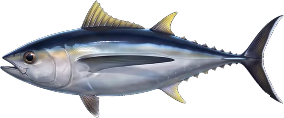
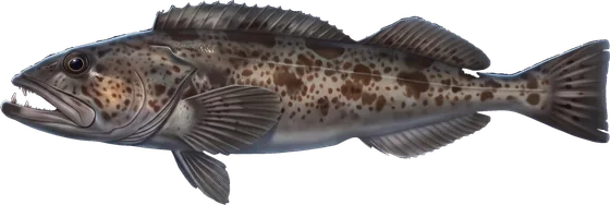
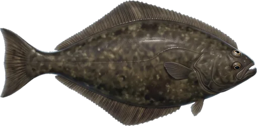
The fishing year centers on spring through autumn. Anglers target salmon, Pacific halibut, bottomfish (lingcod and rockfish), and offshore albacore and bluefin tuna, with Dungeness crab rounding out the autumn. For the wider region, see Pacific Northwest fishing. Salmon and halibut seasons are set each year and close when the quota is taken, so check the WDFW Marine Area 1 rules before every trip. Within 3 miles of shore between Cape Falcon and Leadbetter Point, either a Washington or an Oregon license is valid from a vessel. Oregon rules apply in Oregon waters.
Access and navigation
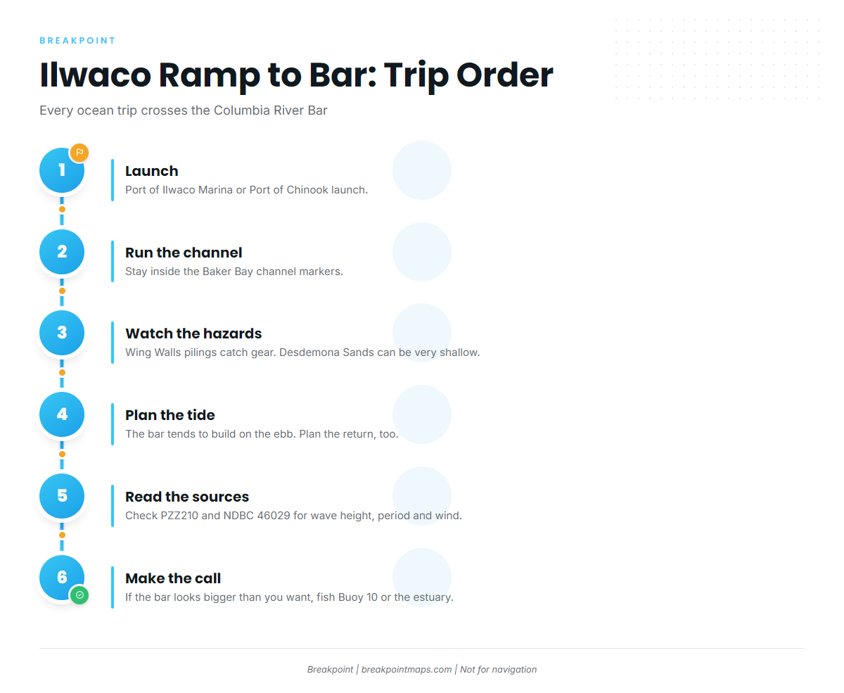
Every ocean trip from Ilwaco runs out the Baker Bay channel and across the Columbia River Bar, so the bar decides the day. Plan the trip in order: ramp, channel, bar, and the return.
Public launches and marinas:
- Port of Ilwaco Marinamoorage, fuel and the back-in launch at the Ilwaco boat launch.
- Port of Chinook launchan alternate public launch inside the river.
Stay inside the channel markers on the way out. The Wing Walls, a row of old wooden pilings just outside the marina, can catch fishing gear. Desdemona Sands is a flat sandy bar that is exposed at low tide and can be very shallow across the flats. Watch your depth and your instruments, and check the chart plotter against what you see.
The bar tends to build on the ebb. Wind against an outgoing tide can stack steep, closely spaced seas at the entrance, and the bar forecast often reads "seas building during the tidal ebb." WDFW guidance says experienced boaters plan crossings around the peak outgoing tide, and that conditions have to suit the return as well as the run out. Know the landmarks: the North and South Jetties, Peacock Spit on the north side of the entrance, and Cape Disappointment. The USCG bar crossing handout suggests favoring the red side, where NW swell can wrap around the North Jetty.
Station Cape Disappointment posts bar restrictions, and bar conditions and restrictions are broadcast continuously on 1610 AM. Read the NWS PZZ210 Columbia River Bar forecast, then check the NDBC 46029 Columbia River Bar buoy for wave height, period and wind. The buoy sits 20 NM west of the river mouth, so the entrance between the jetties can look different from what it reports. Breakpoint chart layers are not for navigation.
The Columbia has one ocean entrance, so there is no second route out. If the bar looks bigger than you want when you arrive, check the water against the PZZ210 forecast and switch to Buoy 10 and the estuary instead.
Fishing conditions
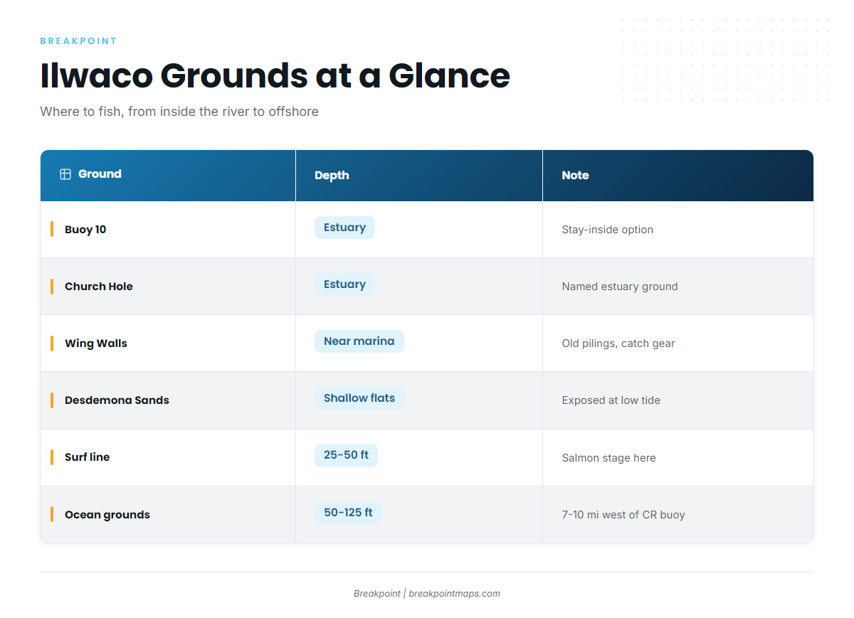
Out of Ilwaco, salmon stage close to shore off the river mouth, and the bottomfish and tuna water lies farther out. Pick your ground first, then match it to the season.
| Ground | What it offers |
|---|---|
| Buoy 10 | The inside fishery east of the Buoy 10 line. The stay-inside option when the bar is not worth the crossing. |
| Church Hole | A named estuary ground. |
| Wing Walls | Old pilings just outside the marina. They hold structure and catch gear. |
| Desdemona Sands | Shallow flats that are exposed at low tide. |
| Surf line, Cape Disappointment to Long Beach | WDFW describes salmon staging here in 25 to 50 ft. |
| Ocean grounds | About 7 to 10 miles west of the CR buoy, in 50 to 125 ft. |
The Columbia River Control Zone is closed to salmon fishing except from the north jetty when adjacent waters are open.
Winter
Bottomfish is closed until the second Saturday in March. Sturgeon is catch-and-release in the estuary under the Marine Area 1 rules. Winter weather shapes the bar, so read the 46029 buoy and the PZZ210 forecast before any trip and let the numbers decide.
Spring
The bottomfish season runs from the second Saturday in March through the third Saturday in October, and lingcod and rockfish open with it. A descending device must be on board and rigged for immediate use when you fish for or hold bottomfish or halibut. Pacific halibut in the Columbia River subarea runs on limited, quota-managed days, so watch WDFW for the announced openers.
Summer
Chinook and coho work the 25 to 50 ft surf line and the ocean grounds. Seasons are set each year, so check WDFW before you load the boat. Bottomfish and halibut continue. Offshore, albacore tuna have no daily limit under WDFW rules, and bluefin have a limit of 2 per day. An offshore return still has to suit the bar on the tide, so build the day around the ebb.
Autumn
Coho continue, and albacore and bluefin hold into early fall. The bottomfish season closes on the third Saturday in October. Dungeness crab is a fall option out of Ilwaco, with rules set by WDFW. For the tuna water, see albacore off the Pacific Northwest. Temperature breaks and color edges drive the offshore search. OBS SST and Chlorophyll in Breakpoint show where those edges set up, and cloud cover can block a satellite pass. If you want that read before you commit fuel, find your port in the Breakpoint state and port guides.