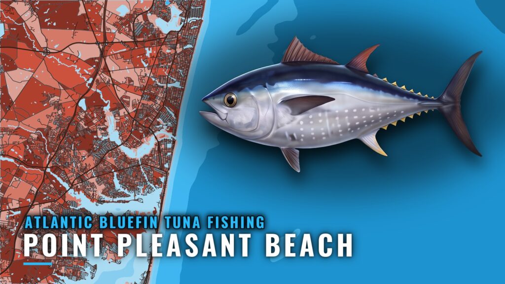
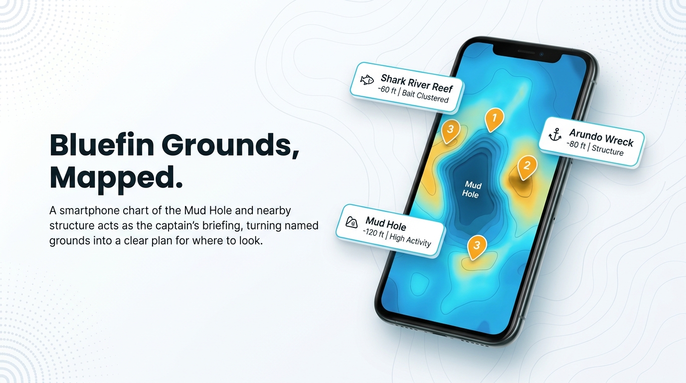
Atlantic bluefin come within reach of Manasquan Inlet, and the grounds that matter are charted structure you can name: the Mud Hole, Shark River Reef, Monster Ledge and the Arundo Wreck. This guide to Atlantic bluefin tuna fishing out of Point Pleasant Beach covers when the fish are around, where boats run, how they are worked, who fishes them here and where to check the rules. It makes no promises about catching fish, but it should help you decide where to look.
When bluefin are off Point Pleasant Beach
Bluefin timing off Point Pleasant Beach follows bait and water temperature, and it shifts from year to year, so a fixed calendar won’t tell you when to go. Current local reports and the official forecast will. Check both before you commit fuel and time.
Point Pleasant Beach sits on the south side of Manasquan Inlet, and the ramps and the inlet are your way out. For fish biology, see the species guide on migration and behavior.
Running out of Manasquan Inlet to the grounds
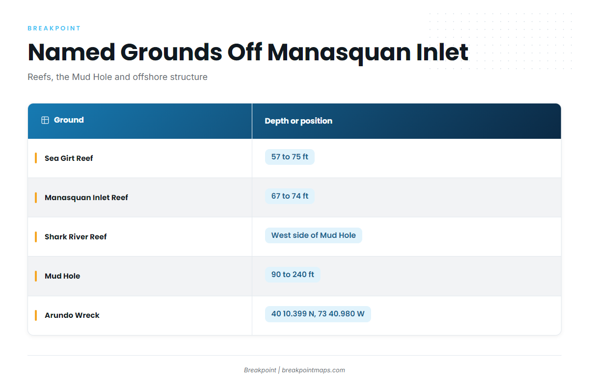
The grounds out of Manasquan Inlet step from shallow artificial reefs to the Mud Hole and then to offshore structure. Before you run, check wind in knots, wave height and period on the NWS marine forecast.
| Ground | Depth or position |
|---|---|
| Sea Girt Reef | 57 to 75 ft |
| Manasquan Inlet Reef | 67 to 74 ft |
| Axel Carlson Reef | |
| Shark River Reef | West side of the Mud Hole |
| Mud Hole | 90 ft flats to 240 ft deepest point |
| Monster Ledge | |
| Arundo Wreck | 40 10.399 N, 73 40.980 W |
| Oil Wreck |
You can plot the reefs and the Mud Hole edge on the Chart Contours layer in Breakpoint. Chart layers are not for navigation.
Inshore reefs
Sea Girt Reef (57 to 75 ft), Manasquan Inlet Reef (67 to 74 ft) and Axel Carlson Reef are the shallowest named structure on this list. They sit closest to the inlet and will be the first marks on your plotter.
The Mud Hole and Shark River Reef
The Mud Hole drops from 90 ft on the flats to 240 ft at its deepest point, and that relief is what you are reading on the chart. Shark River Reef sits on the west side of the Mud Hole.
Monster Ledge and the wrecks
Monster Ledge is the one named ledge on this list. The Arundo Wreck sits at 40 10.399 N, 73 40.980 W, and the Oil Wreck is the other wreck. Enter these waypoints in the plotter, then verify them against an official chart.
How bluefin are fished from this port
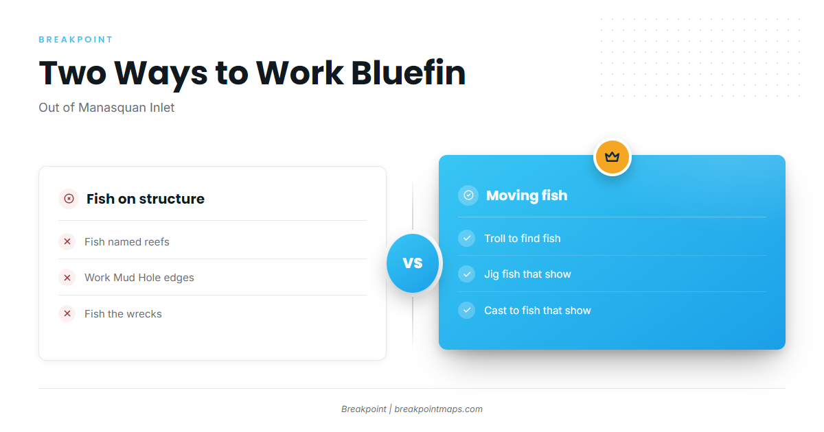
Boats out of Manasquan Inlet either work fish holding on structure or work fish that are moving. For the wider picture, read how the wider Northeast fleet fishes them (see also the Atlantic Northeast fishing guide).
Working fish on structure
Boats fish the named reefs, the edges of the Mud Hole and the wrecks. The structure is the reason to be there, so the plotter marks do most of the work.
Working moving fish
When fish aren’t tied to structure, boats troll to find them. Jigging or casting follows when fish show on the surface or on the sounder.
Who fishes bluefin out of Point Pleasant Beach
Three local charters list Atlantic bluefin tuna, and their trip pages and reports show how the port’s fleet approaches the fish.
Jenn-A Fishing Charters
Captain Adrian McElroy runs Jenn-A Fishing Charters, which lists Atlantic bluefin tuna.
SeaOwl Fishing Charters
SeaOwl Fishing Charters lists Atlantic bluefin tuna.
Blue Chip Sportfishing
Blue Chip Sportfishing lists Atlantic bluefin tuna.
FAQ about bluefin tuna out of Point Pleasant Beach
Where are the main grounds for Atlantic bluefin tuna fishing out of Point Pleasant Beach?
The reef grounds are Sea Girt Reef, Manasquan Inlet Reef, Axel Carlson Reef and Shark River Reef. Beyond them are the Mud Hole, Monster Ledge, the Arundo Wreck and the Oil Wreck.
How deep is the Mud Hole?
The Mud Hole runs from 90 ft on the flats to 240 ft at the deepest point. Shark River Reef sits on its west side.
What are the Arundo Wreck coordinates?
The Arundo Wreck sits at 40 10.399 N, 73 40.980 W. Chart layers are not for navigation, so verify the position on an official chart.
How do I check conditions before running out of Manasquan Inlet?
Check wind in knots, wave height and period on the NWS marine forecast, then add current local reports before you leave the dock.
Can I target other tuna from Point Pleasant Beach?
This page covers bluefin only. The tuna guides cover the rest.