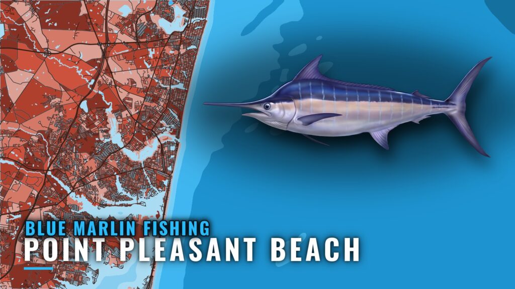
Blue marlin water off Point Pleasant Beach
Blue marlin trips out of Point Pleasant Beach start at the inlet. Boats leave through Point Pleasant Beach and Manasquan Inlet, with Point Pleasant Beach on the south side and Brielle up the river.
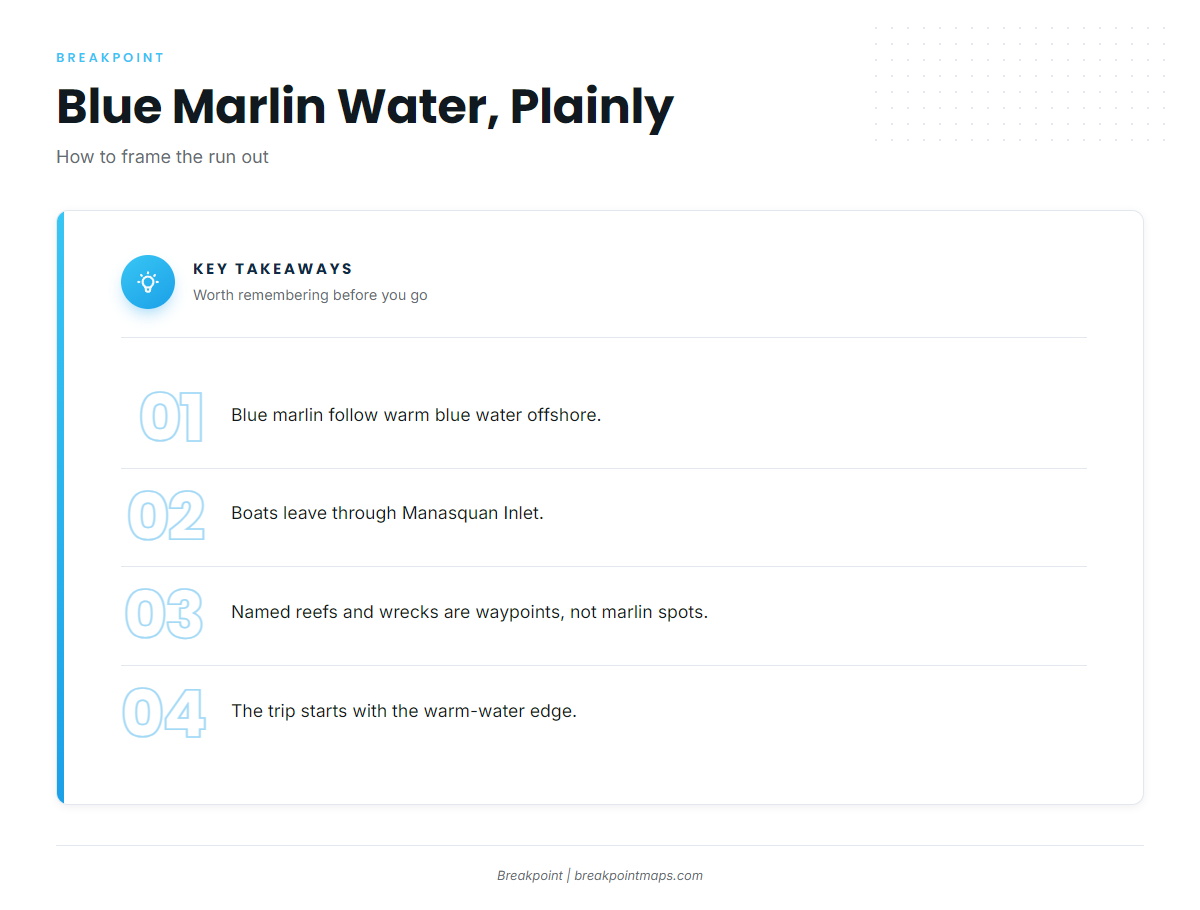
Blue marlin follow warm water offshore. The reefs and wrecks listed below are reference points on the way out and are not marlin spots. We can’t promise fish, but we can help you decide where to look.
The fishery switches on when the warm-water edge moves within your range. The seasonal and regional picture is laid out in blue marlin in the Atlantic Northeast (see also the wider Atlantic Northeast guide).
Reading the edge
Each trip comes down to one decision: where the warm-water edge sits relative to your range. Check it in the data before you burn the fuel. The layers that show it are covered in the section on fishing from your own boat.
Grounds and structure on the run out
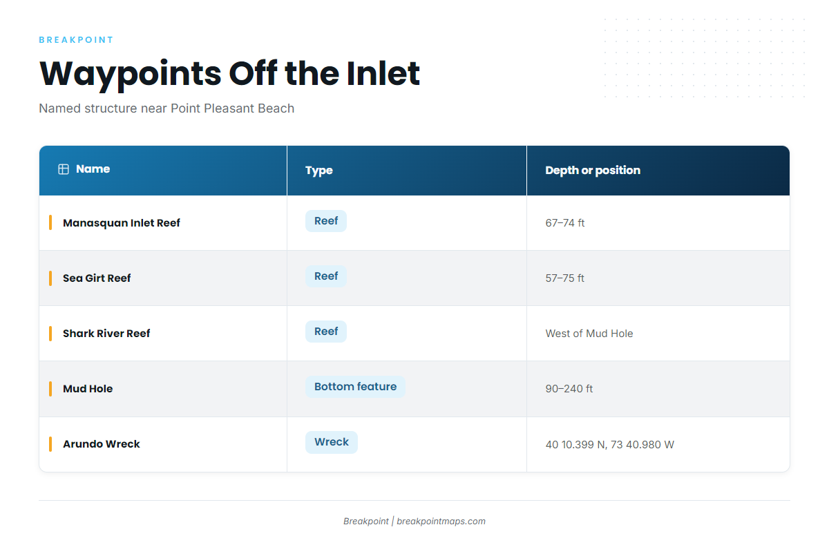
These are the named features near Point Pleasant Beach, with the numbers to use as waypoints.
| Name | Type | Depth or position |
|---|---|---|
| Manasquan Inlet Reef | Reef | 67–74 ft |
| Sea Girt Reef | Reef | 57–75 ft |
| Axel Carlson Reef | Reef | – |
| Shark River Reef | Reef | West side of the Mud Hole |
| Mud Hole | Bottom feature | 90–240 ft, flats to deepest point |
| Monster Ledge | Ledge | – |
| Arundo Wreck | Wreck | 40 10.399 N, 73 40.980 W |
| Oil Wreck | Wreck | – |
Nearshore reefs
Manasquan Inlet Reef (67–74 ft) is the nearest reference off the inlet. Sea Girt Reef runs 57–75 ft, and Axel Carlson Reef is the third on the list. Use them to check your plotter and course before the run offshore.
The Mud Hole and Shark River Reef
The Mud Hole runs from 90 ft on the flats to 240 ft at its deepest point. Shark River Reef sits on its west side, so locating one on the plotter puts you on the other.
Monster Ledge and the wrecks
Monster Ledge and the Oil Wreck round out the named structure. The Arundo Wreck sits at 40 10.399 N, 73 40.980 W. Plot it against the inlet to measure your own range.
Fishing it from your own boat
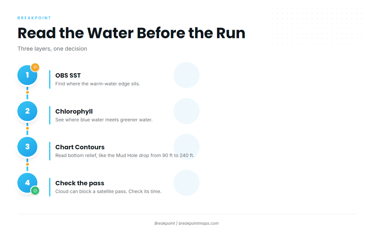
Marlin follow warm blue water, so the trip starts with finding the edge before looking at structure. Work the layers in this order:
- OBS SST: find where the warm-water edge sits.
- Chlorophyll: see where blue water meets greener water.
- Chart Contours: read bottom relief, for example where the Mud Hole drops from 90 ft toward 240 ft.
Cloud can block a satellite pass, so check the time of the pass before you trust an edge. Chart layers are not for navigation.
Check the National Weather Service marine forecast for these coastal waters before the run. Spreads, baits and tactics are in our blue marlin fishing guide.
Who targets blue marlin from this port
Jenn-A Fishing Charters, run by Captain Adrian McElroy out of Point Pleasant Beach, lists blue marlin.
FAQ about blue marlin fishing out of Point Pleasant Beach
How deep is the Mud Hole?
The Mud Hole runs from 90 ft on the flats to 240 ft at its deepest point. Shark River Reef sits on its west side.
Where is the Arundo Wreck?
The Arundo Wreck is at 40 10.399 N, 73 40.980 W. Plot it from Manasquan Inlet to check your range.
How deep are the reefs near Manasquan Inlet?
Manasquan Inlet Reef is 67–74 ft. Sea Girt Reef is 57–75 ft. Axel Carlson Reef is also near the inlet.
Which charter out of Point Pleasant Beach lists blue marlin?
Jenn-A Fishing Charters, run by Captain Adrian McElroy. White marlin and swordfish are covered in our billfish fishing guides.
Where are the rules for marlin landed here?
Blue marlin fall under NOAA HMS federal rules. Fish landed in New Jersey also fall under NJDEP Fish and Wildlife rules. Check both before fishing.