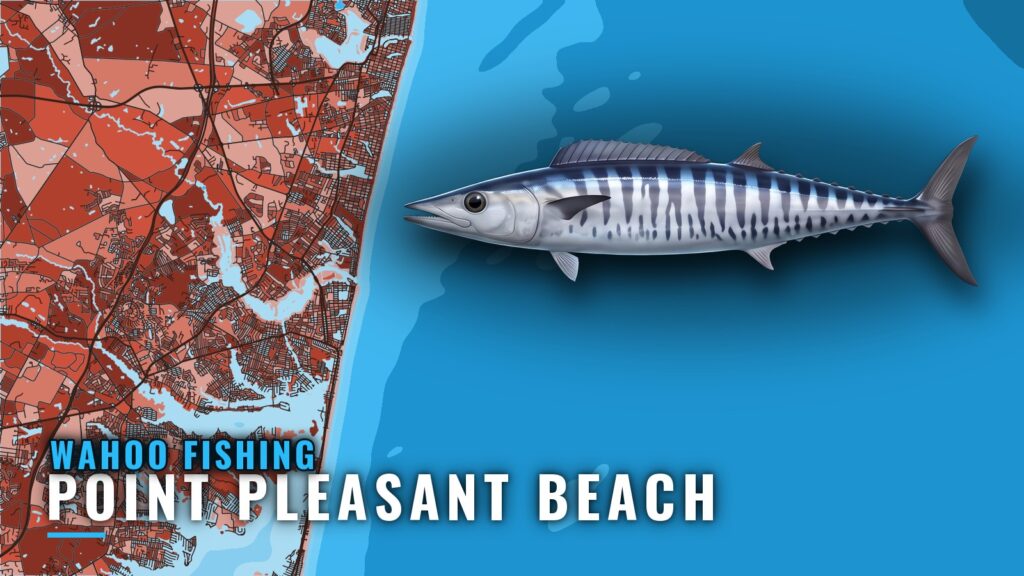
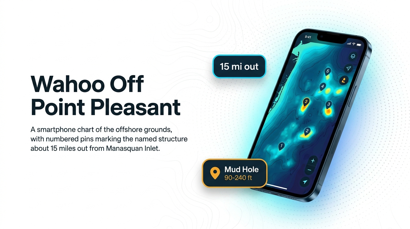
Wahoo fishing out of Point Pleasant Beach means a run of about 15 miles out from Manasquan Inlet. Timing and behavior are covered in our wahoo species guide. This page lists the named structure with depths and coordinates, the two methods used locally, and the charters that list wahoo.
Where boats run from Point Pleasant Beach
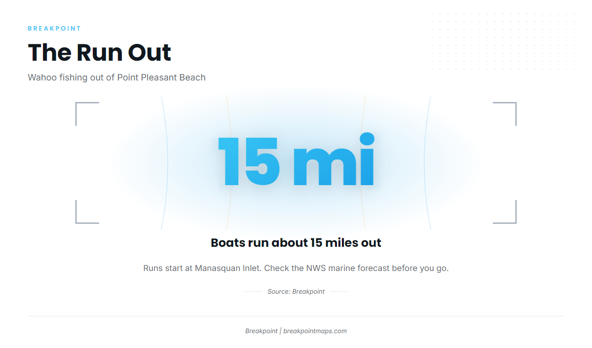
Boats run about 15 miles out, past the nearshore reefs and onto the deeper water around the Mud Hole. For regional water and timing, see the Northeast picture (see also the wider Atlantic Northeast guide).
Before you run, check the NWS marine forecast off Manasquan and read the wind, wave height and period as numbers. Chart Contours shows the depth breaks along the run, and OBS SST shows observed surface temperature.
Grounds and structure that hold wahoo
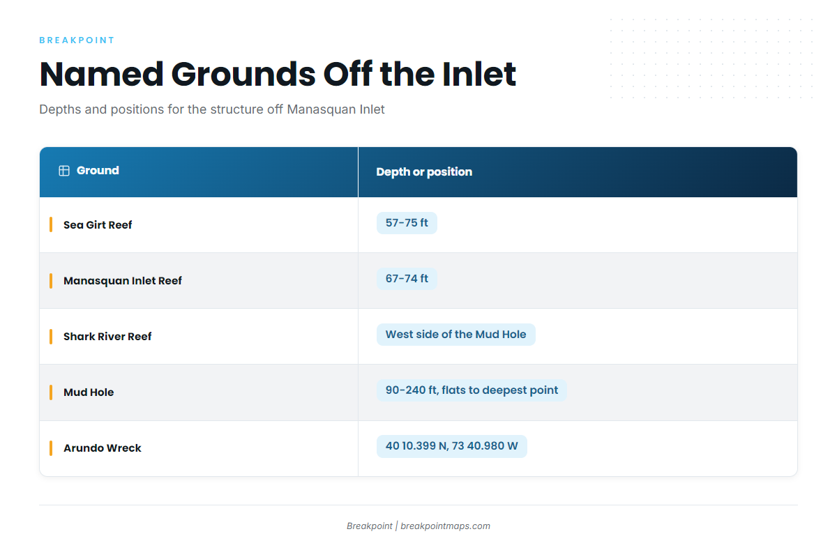
The named structure off the inlet runs from shallow reefs out to the Mud Hole and the Arundo Wreck. The table below goes from shallowest ground to deepest and does not rank them.
| Ground | Depth or position |
|---|---|
| Sea Girt Reef | 57-75 ft |
| Manasquan Inlet Reef | 67-74 ft |
| Shark River Reef | West side of the Mud Hole |
| Mud Hole | 90-240 ft, flats to deepest point |
| Arundo Wreck | 40 10.399 N, 73 40.980 W |
A published coordinate marks the structure, not the fish.
Sea Girt Reef
Sea Girt Reef sits in 57-75 ft of water, the shallowest ground on this list.
Manasquan Inlet Reef
Manasquan Inlet Reef sits in 67-74 ft close to the inlet, which makes it easy to fish at the start or end of a run.
Shark River Reef
Shark River Reef sits on the west side of the Mud Hole, at the edge of the deeper water.
The Mud Hole
The Mud Hole runs 90-240 ft, from the flats to the deepest point. It is the deep feature on the run, and most local boats know it by name.
Arundo Wreck coordinates
The Arundo Wreck is at 40 10.399 N, 73 40.980 W. Chart layers are not for navigation, so verify any position against your own charts and plotter.
Other named structure
Three more grounds are worth putting on your chart:
- Axel Carlson Reef
- Monster Ledge
- Oil Wreck
How wahoo are fished locally
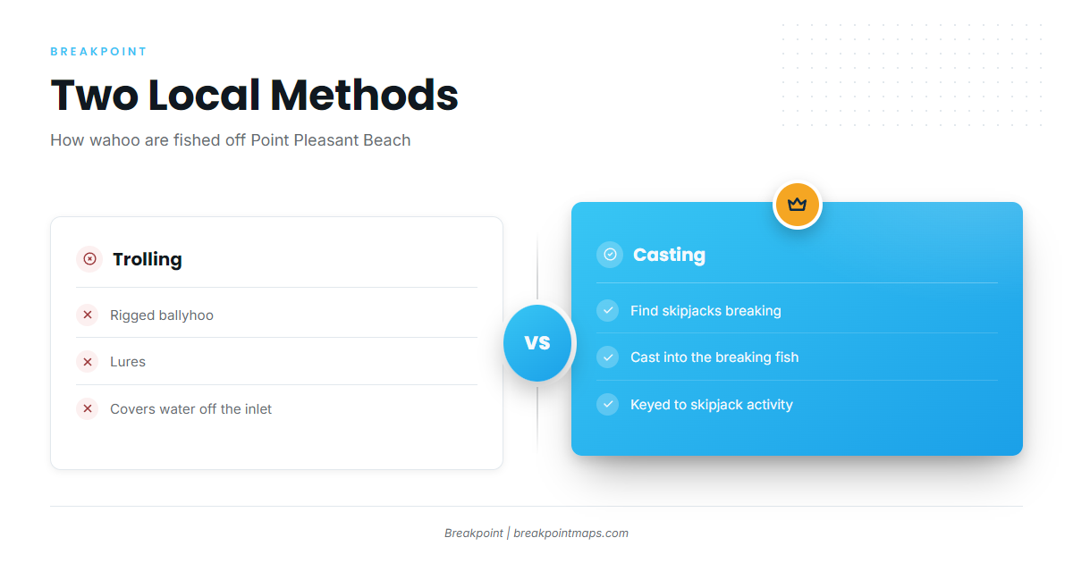
Two methods are used locally: trolling, and casting to breaking fish. For other offshore species, see our offshore gamefish guides.
Trolling rigged ballyhoo and lures
Boats troll rigged ballyhoo and lures, covering water with the spread and letting the fish find it.
Casting into breaking skipjacks
The second method depends on breaking skipjacks. Boats look for them breaking and cast into the fish.
Who fishes for wahoo out of this port
Two local charters list wahoo:
- Jenn-A Fishing Charters, run by Captain Adrian McElroy
- SeaOwl Fishing Charters
FAQ about wahoo fishing out of Point Pleasant Beach
How far do boats run for wahoo out of Point Pleasant Beach?
About 15 miles out from Manasquan Inlet. Check the NWS marine forecast for the waters off the inlet before you run, and read the wind and wave numbers yourself.
What are the Arundo Wreck coordinates?
The Arundo Wreck is at 40 10.399 N, 73 40.980 W. Chart layers are not for navigation, so check the position against your own charts.
How deep is the Mud Hole off New Jersey?
The Mud Hole runs 90-240 ft, from the flats to the deepest point. Shark River Reef sits on its west side.
How are wahoo fished locally?
Boats troll rigged ballyhoo and lures, and they cast into breaking skipjacks. Choose the method based on what the water shows you.
Which Point Pleasant charters list wahoo?
Jenn-A Fishing Charters, run by Captain Adrian McElroy, and SeaOwl Fishing Charters both list wahoo. Contact them directly for trip details.