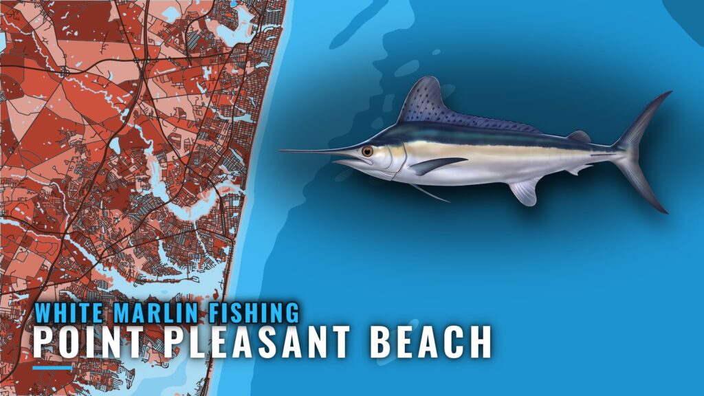
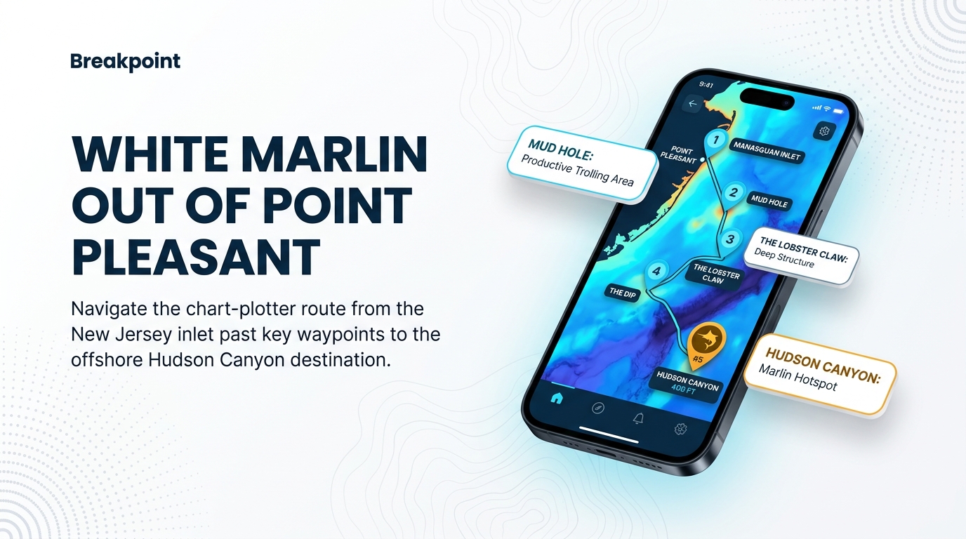
Boats running for white marlin out of Point Pleasant Beach head to Hudson Canyon, and the Offshore Open fishing days fall in late August to early September.
When white marlin are around Point Pleasant Beach
The Offshore Open sets the local window for white marlin. For how the Northeast run builds and fades, see the regional picture (see also the Atlantic Northeast fishing guide).
The Offshore Open window
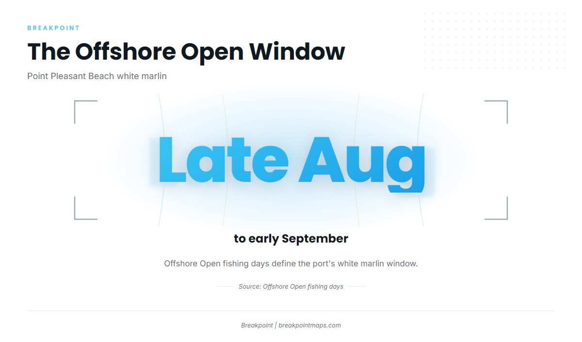
The Offshore Open fishing days run from late August to early September. That is the port’s defined white marlin window, so plan canyon days around it.
Where boats run
Boats fishing for white marlin out of Point Pleasant Beach run to Hudson Canyon.
Hudson Canyon
Hudson Canyon is the offshore destination for billfish from this port. It lies in federal waters, which affects the rules covered below.
Grounds and structure off Point Pleasant Beach
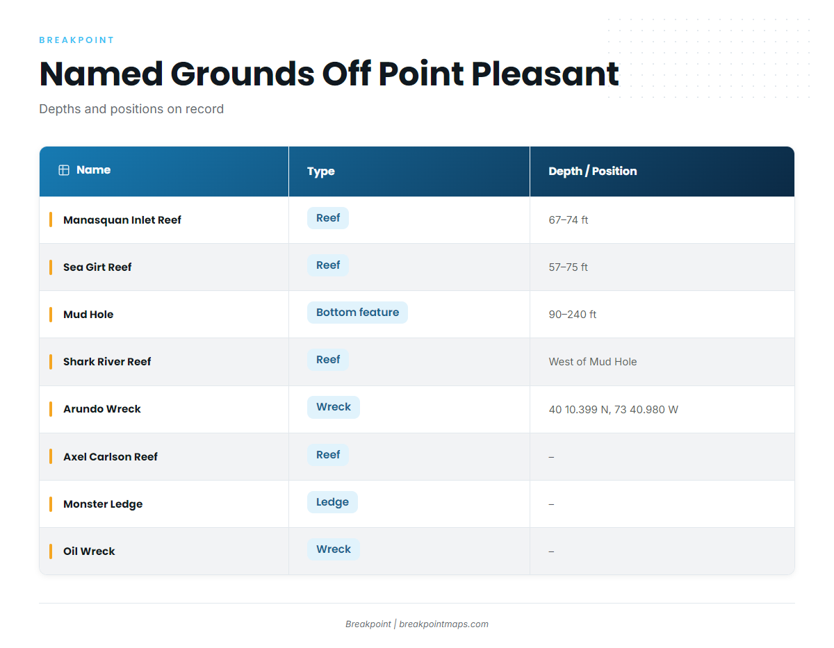
These are the named grounds and structure near Point Pleasant Beach, with the depths and positions on record.
Reefs near the inlet
- Manasquan Inlet Reef: 67-74 ft.
- Sea Girt Reef: 57-75 ft.
- Axel Carlson Reef: named reef near the port.
Mud Hole and Shark River Reef
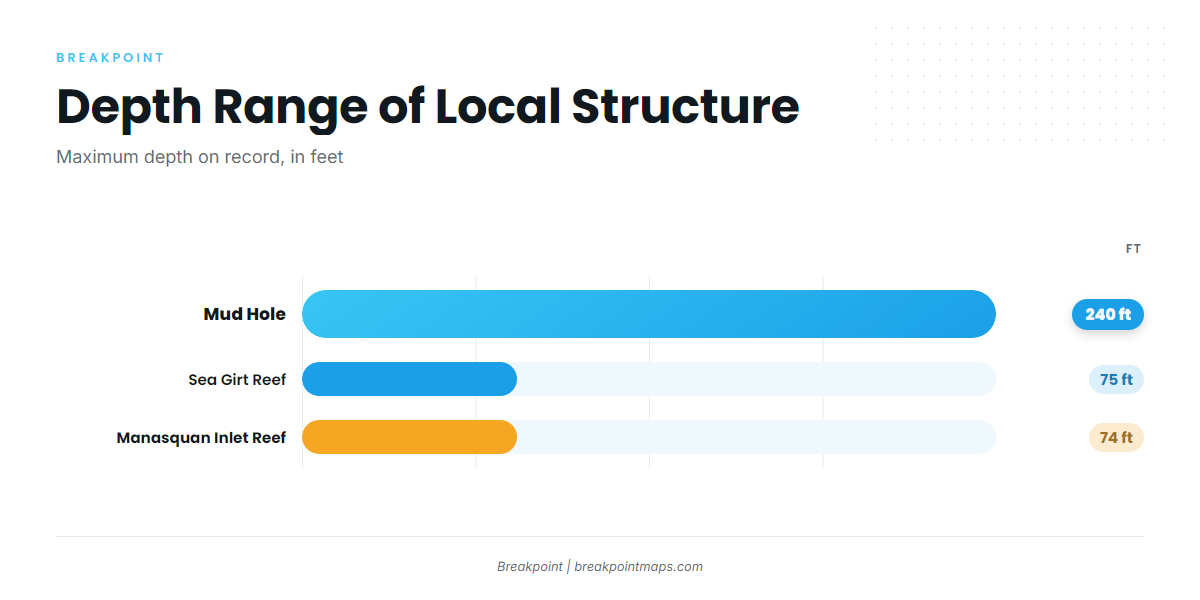
The Mud Hole runs 90-240 ft from the flats to the deepest point. Shark River Reef lies on the west side of the Mud Hole.
Ledges and wrecks
Monster Ledge and Oil Wreck are the named ledge and wreck here. The Arundo Wreck sits at 40 10.399 N, 73 40.980 W; plot that position before leaving the dock.
| Name | Type | Depth (ft) | Position |
|---|---|---|---|
| Manasquan Inlet Reef | Reef | 67-74 | – |
| Sea Girt Reef | Reef | 57-75 | – |
| Axel Carlson Reef | Reef | – | – |
| Shark River Reef | Reef | – | West side of the Mud Hole |
| Mud Hole | Bottom feature | 90-240 (flats to deepest point) | – |
| Monster Ledge | Ledge | – | – |
| Arundo Wreck | Wreck | – | 40 10.399 N, 73 40.980 W |
| Oil Wreck | Wreck | – | – |
Chart layers are not for navigation.
How it is fished and who fishes it
Local methods aren’t documented here. The general tactics guide and the charter listed below are the places to start.
Tactics
For spread and tactics, see the white marlin fishing guide.
Jenn-A Fishing Charters
Jenn-A Fishing Charters in Point Pleasant Beach, run by Capt. Adrian McElroy, lists white marlin among its species. Crew details are on Jenn-A Fishing Charters’ website.
FAQ: white marlin out of Point Pleasant Beach
When are the Offshore Open fishing days?
Late August to early September.
Where do boats run for white marlin and other billfish?
Hudson Canyon. For the wider picture, see our billfish guides.
How deep is the Mud Hole?
The Mud Hole runs 90-240 ft from the flats to the deepest point. Shark River Reef lies on its west side.
Who runs white marlin charters out of Point Pleasant Beach?
Jenn-A Fishing Charters, run by Capt. Adrian McElroy, lists white marlin. Crew details are on the charter’s site.
Where are the rules for white marlin from this port?
Both New Jersey and federal rules apply. Start with the New Jersey regulations page, and check before fishing.