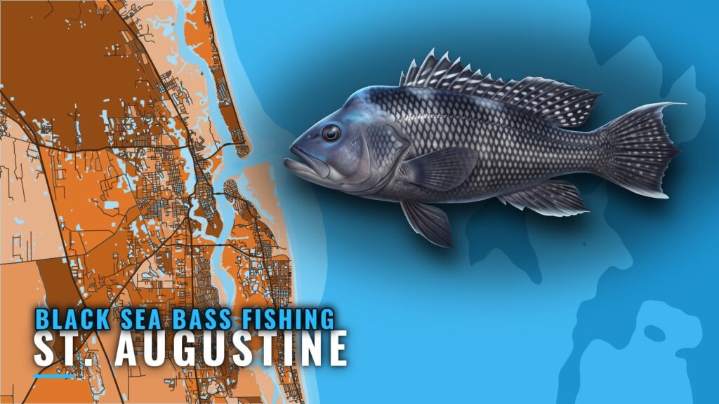
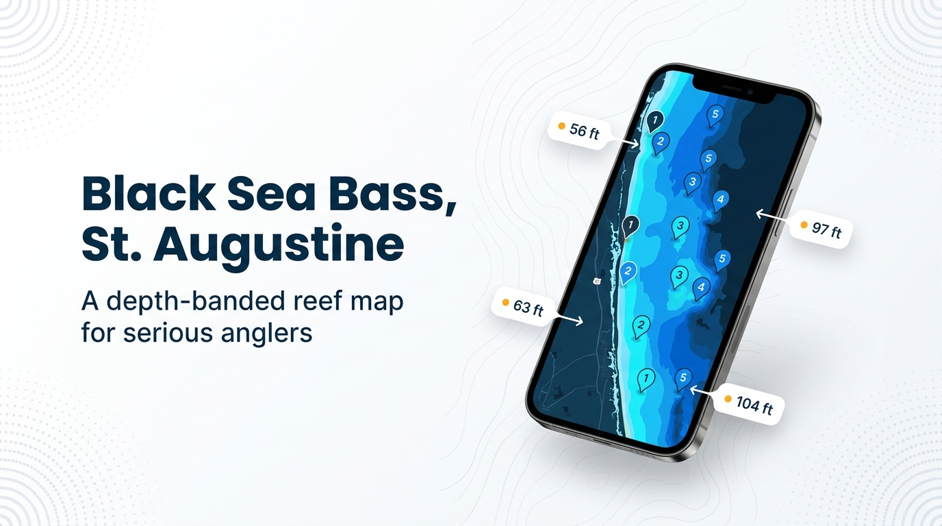
Black sea bass fishing out of St. Augustine is reef-bottom fishing in 56 to 104 ft of water. Sly-Fox lists the fish in fall, winter, spring and summer. General background is on the black sea bass species page, and port details are on the St. Augustine page. This page covers where the reefs are, what is on them and who fishes them. For the wider coast, see the black sea bass fishing in the Atlantic Southeast and the wider Atlantic Southeast guide.
When black sea bass are around St. Augustine
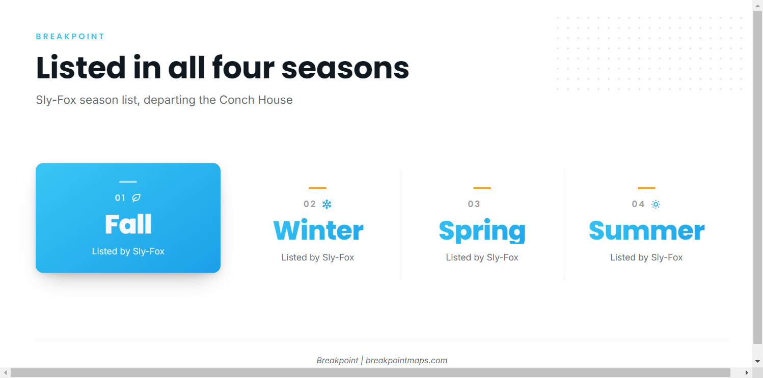
Sly-Fox, which departs from the Conch House, lists black sea bass on its Sly-Fox season lists in fall, winter, spring and summer. That is a charter’s season list rather than a catch forecast, so use it to plan a trip, not as a promise of fish.
Where boats run
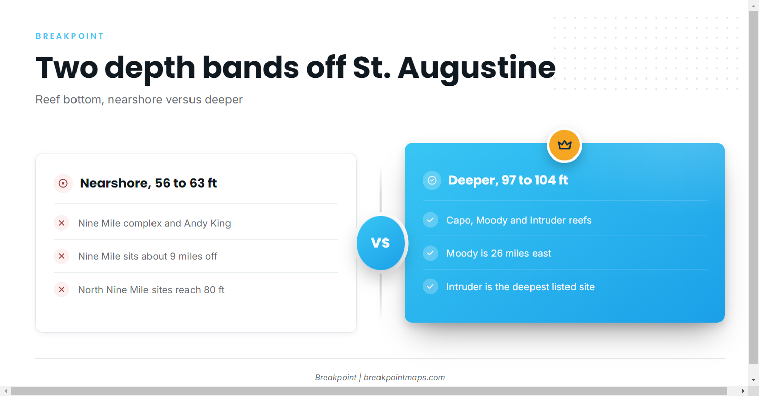
The fishing is on reef bottom in two bands: nearshore at about 56 to 63 ft, and deeper at 97 to 104 ft. For What It’s Worth runs 8 to 11 hour offshore trips that target black sea bass on reef bottom. If you run your own boat, the choice between bands comes down to distance. The nearshore reefs are the shorter run and the deeper reefs the longer.
Nearshore, 56 to 63 ft
The Nine Mile complex and Andy King Reef make up this band. Nine Mile sits about 9 miles off St. Augustine, per Long Line. North Nine Mile site depths run to 80 ft, so the band label reflects only the shallow end of that complex.
Deeper reefs, 97 to 104 ft
Capo Reef North and South sit at 97 ft, Moody Reef at 100 ft, and Intruder Reefs 1 and 2 at 104 ft. Moody is the only reef in this band with a listed distance: 26 miles east of St. Augustine.
Reefs and structure that hold them
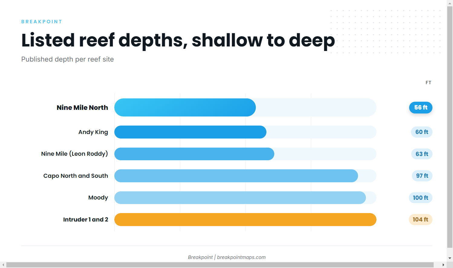
Positions are printed as published, nearshore first, then deeper.
| Reef | Material | Depth (ft) | Position |
|---|---|---|---|
| Nine Mile Reef | tug Leon Roddy | 63 | About 9 miles off St. Augustine (Long Line) |
| North Nine Mile Reef, sites 1 to 7 | concrete culverts, dumpsters, rubble | 56 to 80 by site | Near 29 54 N, 81 07 W |
| Nine Mile North Reef | concrete culverts | 56 | 29 54 47 N, 81 07 01 W |
| Andy King Reef | Bridge of Lions permit area | 60 | 29 52.591 N, 81 09.207 W |
| Capo Reef North | not listed | 97 | 29 51 4 N, 80 46 2 W |
| Capo Reef South | not listed | 97 | 29 50 59 N, 80 46 1 W |
| Moody Reef | not listed | 100 | 26 miles east of St. Augustine |
| Intruder Reef 1 and 2 | A-6 aircraft frames | 104 | Reef 1 at 29 54 20 N, 80 48 10 W |
Chart layers and these positions are for planning, not navigation. The Chart Contours layer is a useful reference for the bottom around each site.
Nine Mile complex
Nine Mile Reef is a single vessel, the tug Leon Roddy, in 63 ft about 9 miles out per Long Line. North Nine Mile spreads culverts, dumpsters and rubble across 7 sites from 56 to 80 ft. Nine Mile North adds concrete culverts in 56 ft.
Andy King Reef
Andy King is Bridge of Lions permit-area material in 60 ft, at 29 52.591 N, 81 09.207 W. The St. Johns County reef report is the public record for the site.
Capo Reef
Capo Reef North and South both sit in 97 ft, with published positions close together near 80 46 W.
Moody Reef
Moody sits in 100 ft, 26 miles east of St. Augustine, the longest run on this list.
Intruder Reef
Intruder Reefs 1 and 2 are A-6 aircraft frames in 104 ft, the deepest sites listed. Reef 1 is at 29 54 20 N, 80 48 10 W.
How black sea bass are fished here
Local boats bottom fish with light and heavy tackle, per For What It’s Worth. The method is plain bottom fishing over reef structure. For rigs and tackle beyond that, see the reef fish guides.
Who fishes for them out of St. Augustine
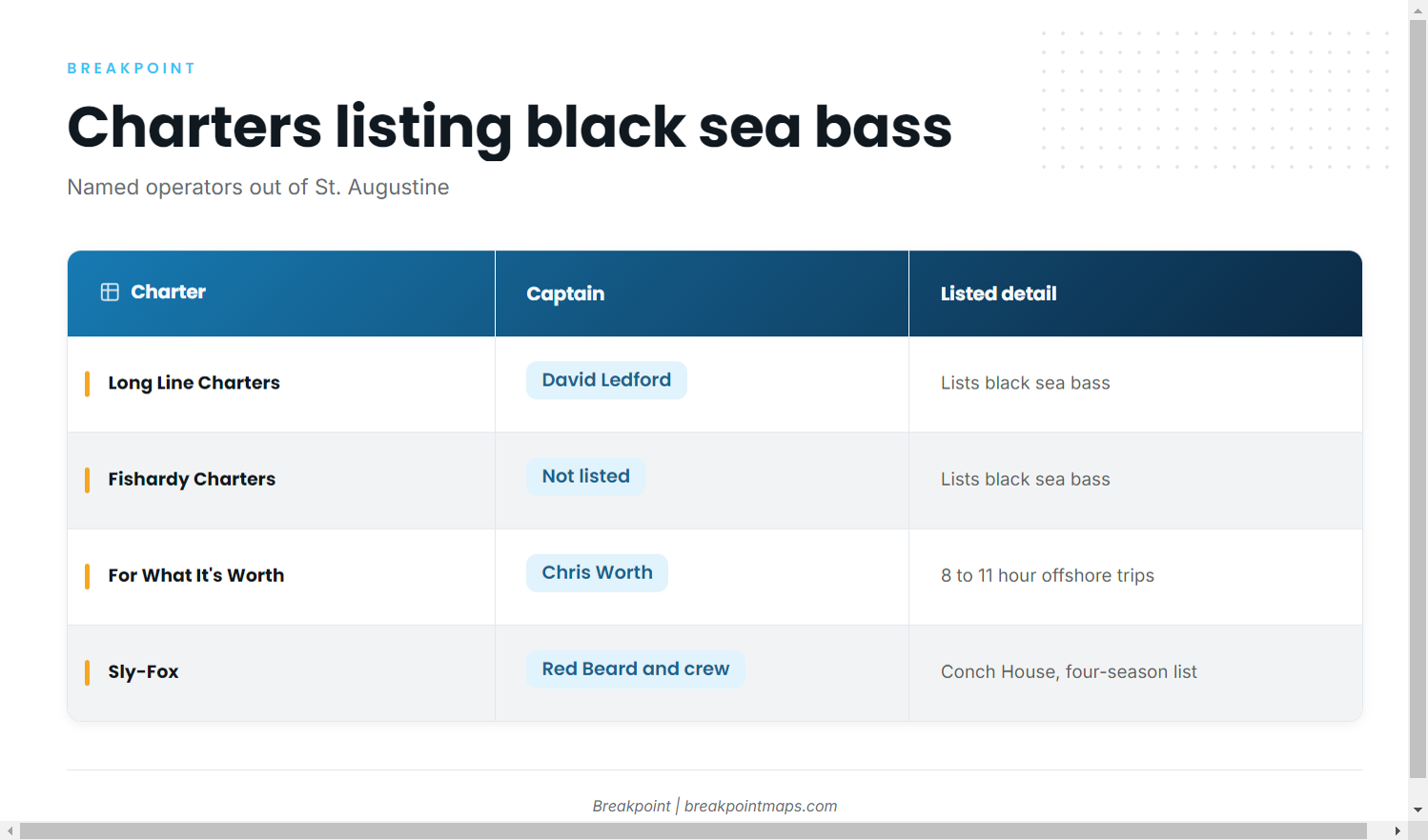
These charters list black sea bass:
- Long Line Charters, Captain David Ledford. Lists black sea bass and is the source for the Nine Mile distance. Visit Long Line Charters’ site.
- Fishardy Charters. Lists black sea bass. See the Fishardy Charters site.
- For What It’s Worth Charters, Captain Chris Worth. Runs 8 to 11 hour offshore trips that target black sea bass on reef bottom, fished with light and heavy tackle. See For What It’s Worth Charters.
- Sly-Fox, Captain Red Beard and crew. Departs from the Conch House and is the source for the four-season list above.
FAQ: black sea bass fishing out of St. Augustine
When are black sea bass around St. Augustine?
For black sea bass fishing out of St. Augustine, Sly-Fox lists the fish in fall, winter, spring and summer.
What is the closest listed reef?
Nine Mile Reef (tug Leon Roddy) is the closest, in 63 ft about 9 miles off per Long Line. Andy King Reef sits in 60 ft.
What is the deepest listed reef?
Intruder Reefs 1 and 2, with A-6 aircraft frames, are the deepest at 104 ft. Moody Reef is next at 100 ft, 26 miles east of St. Augustine.
What tackle do local boats use?
Local boats bottom fish with light and heavy tackle, per For What It’s Worth.
Where do I read offshore conditions?
The nearest NOAA buoy reference, NDBC 41012, has no active replacement, so offshore readings here come from forecasts rather than a moored station. Read the wind, wave height and period numbers in the official NWS marine forecast.