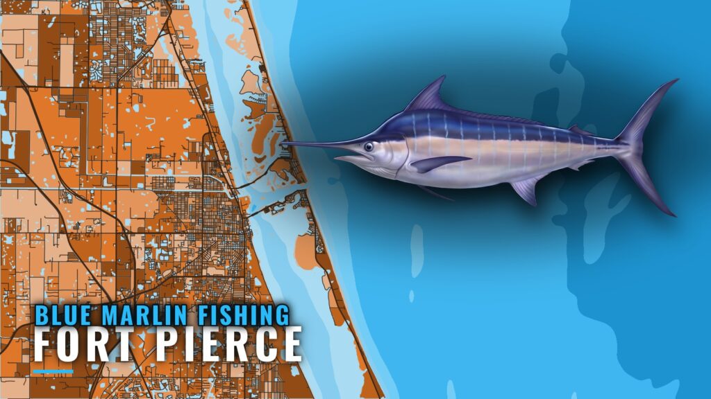
Blue marlin fishing out of Fort Pierce is a May-June target, and one local charter lists the fish for that window. Boats run offshore, and local operators do not name specific marlin grounds. The water off Fort Pierce Inlet does carry named shoals, reefs and numbered artificial wrecks that you can plot as waypoints. This guide covers what is named and what is not.
When blue marlin are off Fort Pierce
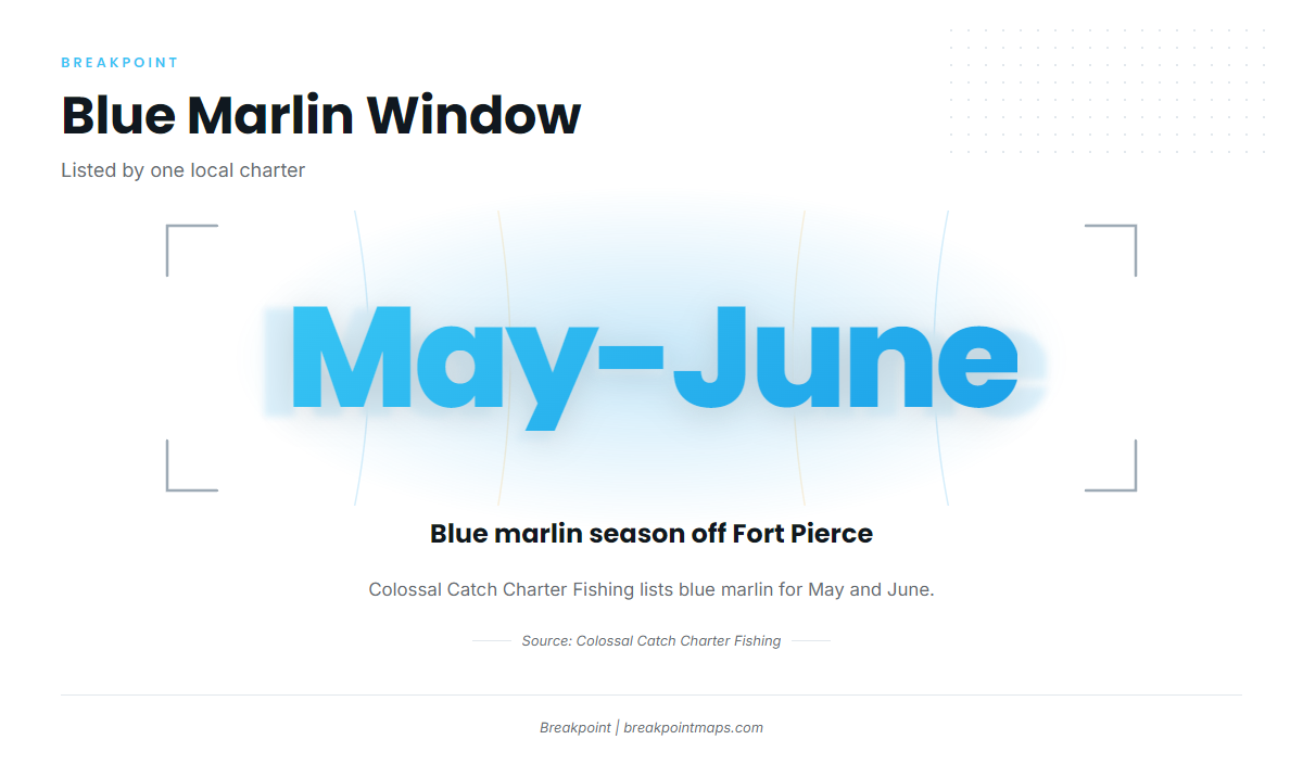
Colossal Catch Charter Fishing lists blue marlin for May and June. Its chart is the only published local window for this port, so this page uses it. For timing along the rest of the Southeast coast, see blue marlin timing along the Southeast coast (see also the wider Atlantic Southeast guide).
| Window | Source | What it covers |
|---|---|---|
| May-June | Colossal Catch Charter Fishing chart | Blue marlin listed for Fort Pierce |
Where boats run and the structure off the inlet
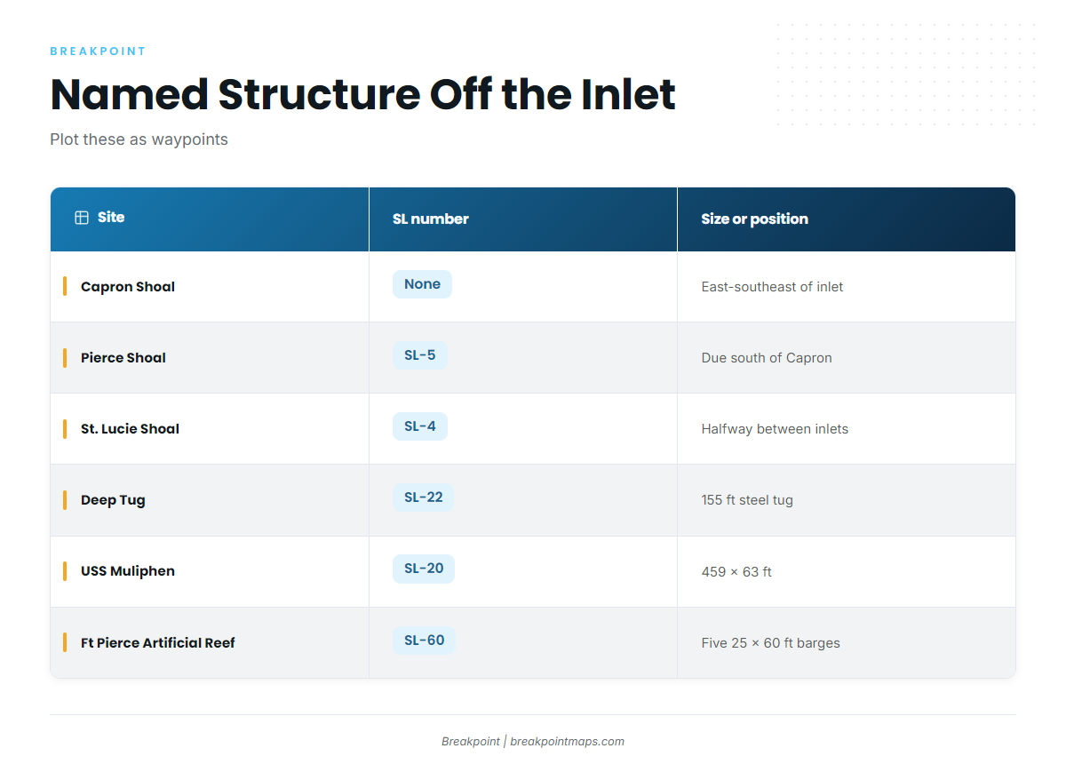
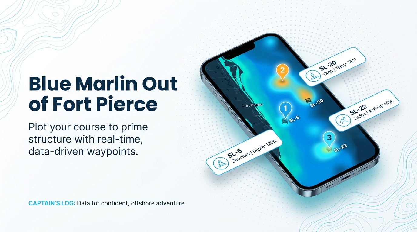
Boats run offshore for blue marlin. Local operators do not name specific grounds, and Chosen One mentions blue marlin only in general trip text. The structure below is not a list of marlin grounds. Plot these sites as waypoints, then decide where to look based on the water you find on the day.
Shoals
- Capron Shoal lies east-southeast of Fort Pierce Inlet.
- Pierce Shoal (SL-5) lies due south of Capron Shoal.
- St. Lucie Shoal (SL-4) lies about halfway between the Fort Pierce and St. Lucie inlets.
Reefs and rock north of the inlet
An artificial reef about a mile long lies just north of Fort Pierce Inlet. It has no published name. Artificial wrecks and rock areas also lie north of the inlet in 120-180 ft of water.
Numbered artificial reefs and wrecks
- Deep Tug (SL-22) is a 155-foot steel tug at Ft Pierce Artificial.
- USS Muliphen (SL-20) is a C-2 attack cargo ship measuring 459 x 63 ft.
- Ft Pierce Artificial Reef (SL-60) consists of five 25 x 60 ft barge loads.
| Site | SL number | Position or description | Size or depth |
|---|---|---|---|
| Capron Shoal | none | East-southeast of Fort Pierce Inlet | – |
| Pierce Shoal | SL-5 | Due south of Capron Shoal | – |
| St. Lucie Shoal | SL-4 | About halfway between Fort Pierce and St. Lucie inlets | – |
| Artificial reef (no name given) | none | Just north of Fort Pierce Inlet | About 1 mile long |
| Artificial wrecks and rock areas | none | North of Fort Pierce Inlet | 120-180 ft of water |
| Deep Tug (Ft Pierce Artificial) | SL-22 | Steel tug | 155 ft |
| USS Muliphen | SL-20 | C-2 attack cargo ship | 459 x 63 ft |
| Ft Pierce Artificial Reef | SL-60 | Barge loads | Five 25 x 60 ft loads |
Chart layers are not for navigation.
How blue marlin are fished here and who fishes for them
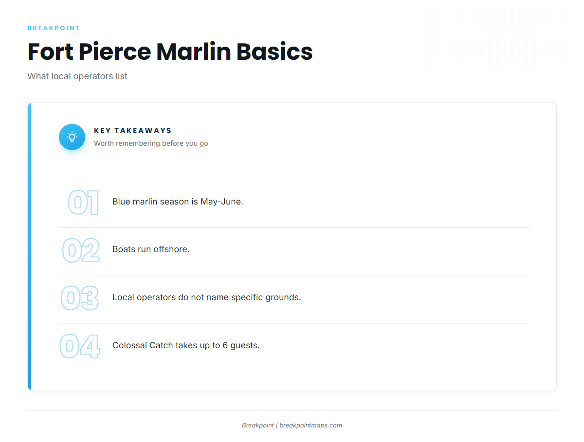
Local operators do not describe the methods they use for blue marlin out of Fort Pierce, so this section covers what is published about the port and its charters.
Methods
Local methods are not described. For general information on baits, tackle and technique, see general blue marlin methods and baits.
- Season: May-June, per the local charter chart.
- Grounds: offshore, none named.
- Methods: not described by local operators.
Charters that list blue marlin
Colossal Catch Charter Fishing lists blue marlin. Capt. Jonathon runs it and takes up to 6 guests. Chosen One mentions blue marlin only in general trip text.
FAQ about blue marlin fishing out of Fort Pierce
When is blue marlin season out of Fort Pierce?
May-June, as listed on the Colossal Catch Charter Fishing chart.
Are there named blue marlin grounds off Fort Pierce?
No. Boats run offshore, and local operators do not name grounds. The named structure off the inlet includes Capron Shoal, Pierce Shoal (SL-5) and USS Muliphen (SL-20).
Which Fort Pierce charter lists blue marlin?
Colossal Catch Charter Fishing, run by Capt. Jonathon. Chosen One mentions blue marlin only in general trip text.
How many guests does Colossal Catch take?
Up to 6 guests.
Where do I find the rules?
Use the Florida regulations page and the federal Atlantic billfish rules page linked in the Regulations section above. Check both before you fish.
What other billfish run from this port?
See our billfish fishing guides for the species picture.