The cobia season out of Mayport is a summer reef fishery, on grounds that run from the nearshore reefs to the Dry Dock run off the St. Johns River entrance jetties. Every distance below is measured from those jetties, with depths and FWC artificial reef coordinates for the structure that holds fish.
When cobia are around Mayport
Cobia are a summer fish here, and the reefs are where boats look for them.
Biology, migration and general tackle are covered in our cobia fishing guide. For how this port fits the coastwide run, see Atlantic Southeast cobia (see also the Atlantic Southeast offshore fishing guide).
Where boats run from the St. Johns jetties
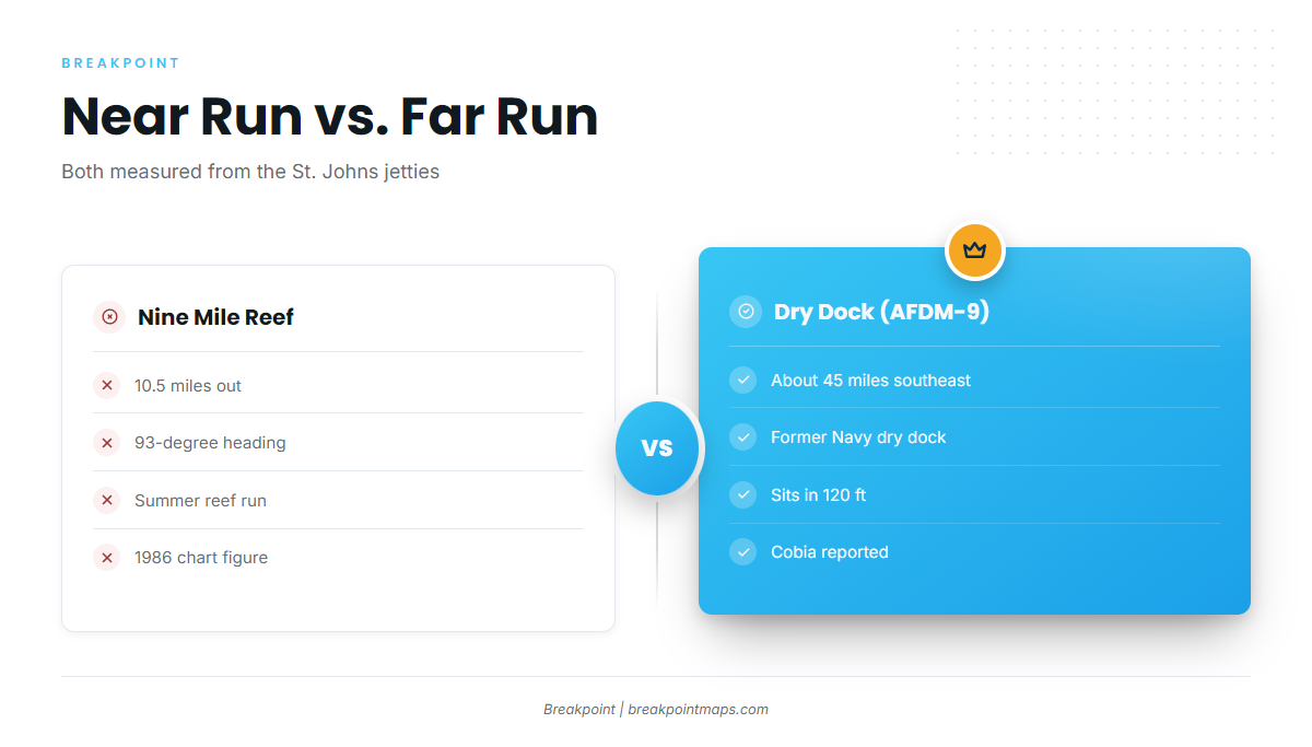
The runs range from a nearshore reef to a long offshore trip. Distance and heading are listed first; depth and relief follow in the next section.
| Ground | Distance from jetties | Heading or bearing | Depth |
|---|---|---|---|
| Nine Mile Reef | 10.5 miles | 93-degree heading | – |
| Dry Dock (AFDM-9) | About 45 miles | Southeast | 120 ft |
Nine Mile Reef
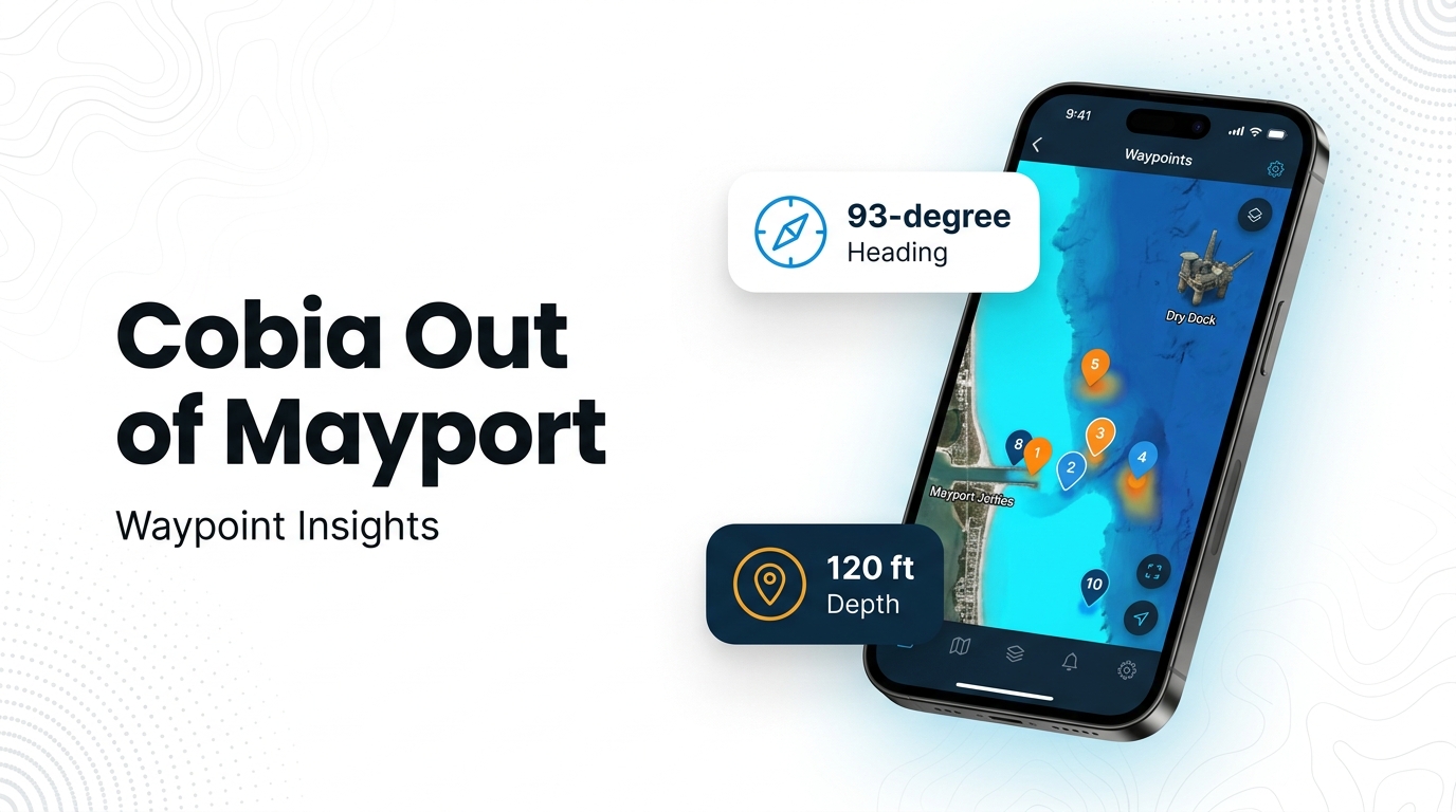
Nine Mile Reef is the summer reef run, 10.5 miles out on a 93-degree heading. The heading and distance come from a 1986 chart, and no coordinate pair is published for it.
Dry Dock (AFDM-9)
Dry Dock is a former Navy dry dock in 120 ft of water, about 45 miles southeast of the St. Johns jetties, where cobia are reported. Its position is published as a distance and bearing rather than a coordinate pair. At 10.5 miles, Nine Mile Reef is a short run, while Dry Dock is a long one.
Grounds and structure that hold cobia
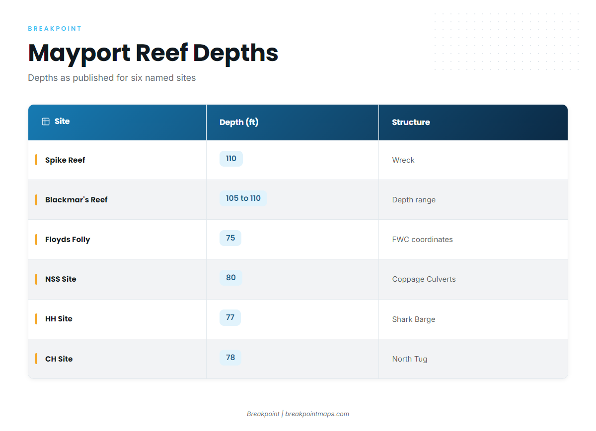
Coordinates below are as FWC publishes them, in degrees and decimal minutes, from the FWC artificial reef table.
| Site | Depth (ft) | Structure note | Coordinates (FWC) |
|---|---|---|---|
| Spike Reef | 110 | Wreck, top about 75 ft | – |
| Blackmar’s Reef | 105 to 110 | Water depth stated as a range | – |
| Floyds Folly | 75 | – | 30 10.034 N, 81 09.322 W |
| NSS Site (Coppage Culverts) | 80 | Not the same site as Coppedge Tug | 30 17.296 N, 80 57.598 W |
| HH Site (Shark Barge) | 77 | Barge | 30 00.950 N, 81 04.718 W |
| CH Site (North Tug) | 78 | Tug | 30 18.560 N, 81 04.150 W |
Chart layers and published numbers are not for navigation.
The same reefs hold other offshore gamefish, so a cobia trip often shares the water with other bites.
Spike Reef
The wreck top sits about 75 ft down in 110 ft of water, which leaves roughly 35 ft of relief. That is the signature to look for on the sounder.
Blackmar’s Reef
Depth is given as a range, 105 to 110 ft, rather than a single sounding, and no coordinates are published for it.
Floyds Folly
Floyds Folly is the shallowest site in the table, at 75 ft, and it has FWC coordinates.
NSS Site (Coppage Culverts)
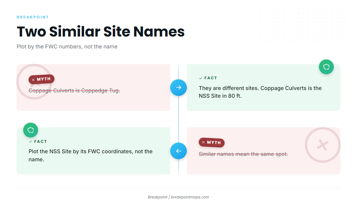
This is a different site from Coppedge Tug, which Visit Jacksonville lists separately as a shallow-water site. Plot it by its FWC numbers, since the names are easy to confuse.
HH Site (Shark Barge)
A barge site in 77 ft of water. Its latitude is the southernmost in the set.
CH Site (North Tug)
A tug site in 78 ft of water. Its latitude is the northernmost in the set.
How cobia are fished out of Mayport and who fishes them
Local trips work the reefs in summer.
Three operators list cobia for trips out of Mayport with a captain aboard.
Southern Salt Fishing Charters
Captain Brad Smith runs Southern Salt Fishing Charters, departing from the Mayport Boat Ramp.
Strate Fishing Charters
Capt. Matt Strate runs Strate Fishing Charters.
Always Hookin Fishing Charters
Always Hookin Fishing Charters is crewed by Capt. Big Greg, Captain Gregory and 1st Mate Jadyn.
FAQ: cobia fishing out of Mayport
When is cobia season out of Mayport?
Summer, on the reefs. For season rules, see the regulations section above.
How far is Nine Mile Reef from the jetties?
10.5 miles on a 93-degree heading, from a 1986 chart.
How far is Dry Dock?
About 45 miles southeast of the St. Johns jetties, in 120 ft. Cobia are reported there.
What depth are the Mayport reefs?
The sites in this set run from 75 ft (Floyds Folly) to 120 ft (Dry Dock). Spike Reef and Blackmar’s Reef sit near 110 ft.
Is Coppage Culverts the same as Coppedge Tug?
No. Coppage Culverts is the NSS Site in 80 ft. Coppedge Tug is a separate shallow-water site.
Which charters list cobia?
Southern Salt (Capt. Brad Smith, Mayport Boat Ramp), Strate (Capt. Matt Strate) and Always Hookin (Capt. Big Greg).