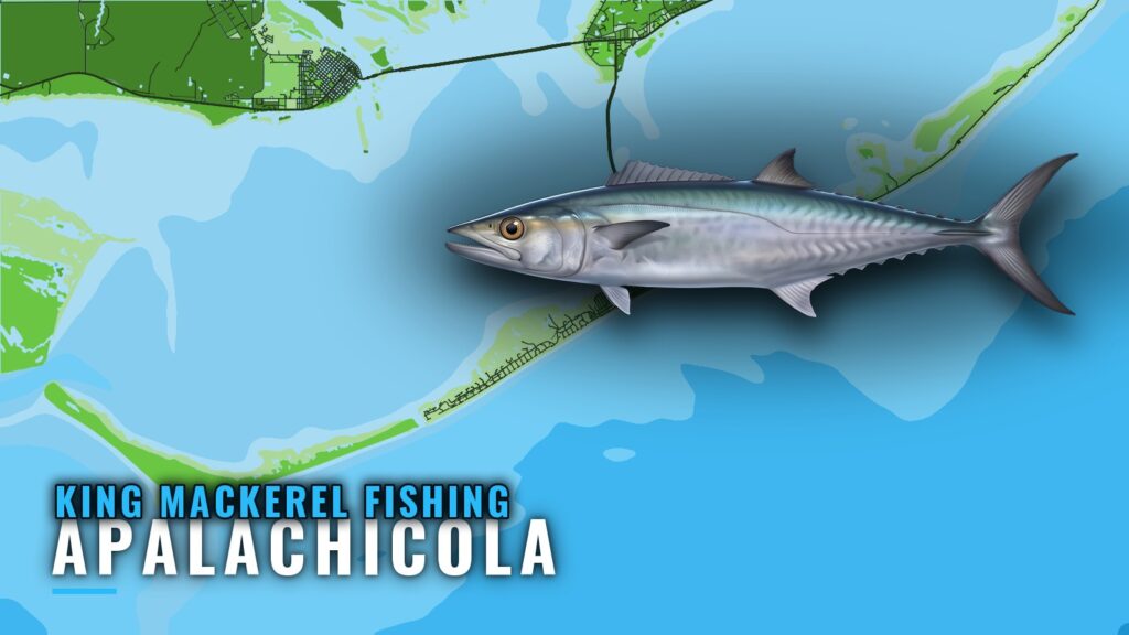
King mackerel fishing out of Apalachicola means working nearshore and offshore structure off St. George Island, spring through summer, about 9 miles out. This page covers the sites, their depths, the run, the season and the boats that fish kings here, so you can decide where to look. Launch details are in our Apalachicola port guide, and tackle and rigging are in the king mackerel species guide. Kingfish are the target. Nothing here guarantees fish, but it gives you a place to start.
When kings are off Apalachicola
Captain Experiences says kingfish and cobia dominate nearshore waters from spring through summer. FishingBooker says kings roam with the cobia along the coast around the same time. The broader migration picture is in our Gulf king mackerel guide (see also the Gulf of Mexico offshore fishing guide).
Spring through summer
Two named sources put kings nearshore from spring through summer, so plan trips around that window.
The cobia overlap
Both sources place kings and cobia in the same window here. For cobia and other pelagics, see the coastal and offshore gamefish guides.
How far boats run from St. George Island
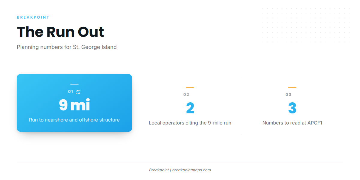
Local boats fish nearshore and offshore structure off St. George Island. Tide Life Charters runs up to 9 miles out, and Nauti Buoy Charter’s fishes 9 miles offshore for pelagics.
The 9-mile figure
Two local operators put the run at about 9 miles. Use that as a planning number for fuel and time on the water.
Read APCF1 before you leave
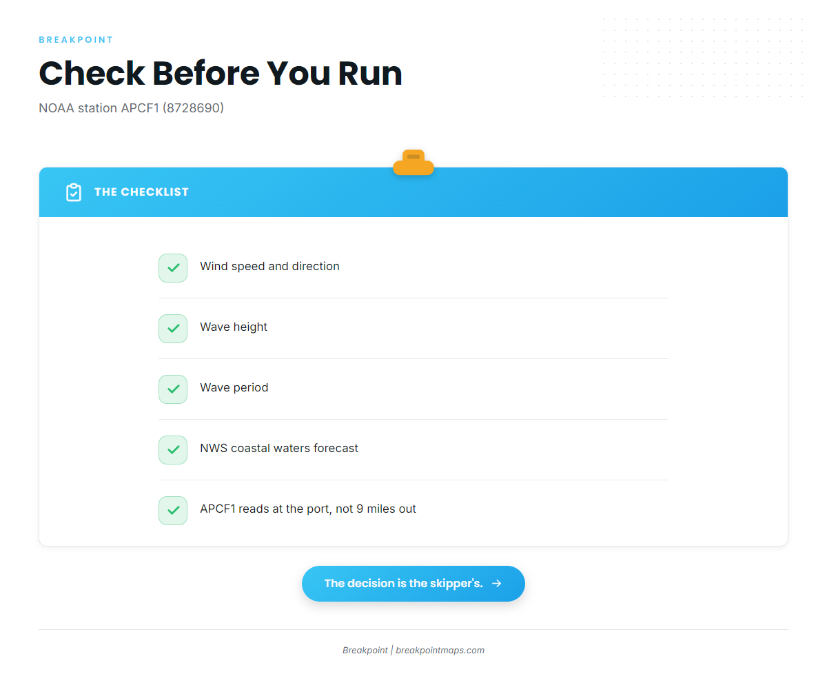
NOAA station APCF1 (station 8728690) sits at 29.724 N, 84.980 W, in Apalachicola. Pull three numbers before you run:
- Wind speed and direction
- Wave height
- Wave period
Read them alongside the NWS forecast for the coastal waters. The station sits at the port, so its readings won’t match conditions 9 miles out. Treat the forecast as a forecast, and make the go or no-go call yourself.
Reefs and towers that hold kings
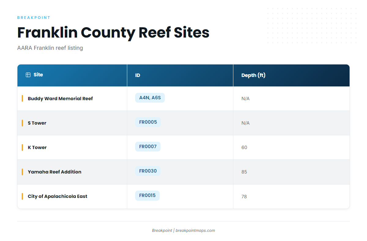
These are Franklin County artificial reefs from the AARA Franklin reef listing.
| Site | ID | Depth (ft) |
|---|---|---|
| Buddy Ward Memorial Reef | A4N, A6S | |
| S Tower | FR0005 | |
| K Tower | FR0007 | 60 |
| Yamaha Reef Addition | FR0030 | 85 |
| City of Apalachicola East | FR0015 | 78 |
Buddy Ward Memorial Reef (A4N, A6S)
The reef carries two IDs, A4N and A6S.
S Tower (FR0005)
S Tower is listed in the AARA Franklin reef area.
K Tower (FR0007)
K Tower sits in 60 ft, the shallowest listed depth of the group.
Yamaha Reef Addition (FR0030)
The reef sits in 85 ft, the deepest of the listed sites.
City of Apalachicola East (FR0015)
The reef sits in 78 ft.
Mark the sites before you run
Mark the FR-numbered sites in the Chart Contours layer in Breakpoint before you run. Chart layers are not for navigation, so use your charts and electronics for that.
Who fishes kings out of this port
The local king fishery runs on center consoles working nearshore and offshore structure. Methods are covered in the species guide. Four charters list king mackerel:
- Bigfish SGI. Captain Clint Taylor, owner and operator.
- Grayson Shepard Charter Fishing. Captain Grayson Shepard runs a 25-foot Parker center console with a Yamaha 300hp.
- Adventures Aboard The C-ScouT. Captain Brad Segree and Larry Segree run a 28-foot Mako with twin 200hp Mercury.
- Boss Charters. Captain Dennis and Deedee Crosby, docked at Apalachicola River Inn and Marina.
FAQ about king mackerel fishing out of Apalachicola
When are kings off Apalachicola?
Spring through summer. Captain Experiences says kingfish and cobia dominate nearshore waters in that window, and FishingBooker says kings roam the coast around the same time as cobia.
How far do boats run for kingfish?
About 9 miles off St. George Island. Tide Life Charters runs up to 9 miles out, and Nauti Buoy Charter’s fishes 9 miles offshore for pelagics.
How deep is K Tower?
K Tower (FR0007) sits in 60 ft. Yamaha Reef Addition (FR0030) sits in 85 ft, and City of Apalachicola East (FR0015) sits in 78 ft.
Which buoy should I check before running?
NOAA station APCF1 (station 8728690) at 29.724 N, 84.980 W. Check wind, wave height and wave period alongside the NWS forecast. It reads at the port, not 9 miles out.
Do kings and cobia overlap here?
Yes. Both sources place them in the same spring-through-summer window nearshore.
Where are the rules?
FWC sets the state rules, so check them before fishing. Federal rules can apply to structure beyond state waters.