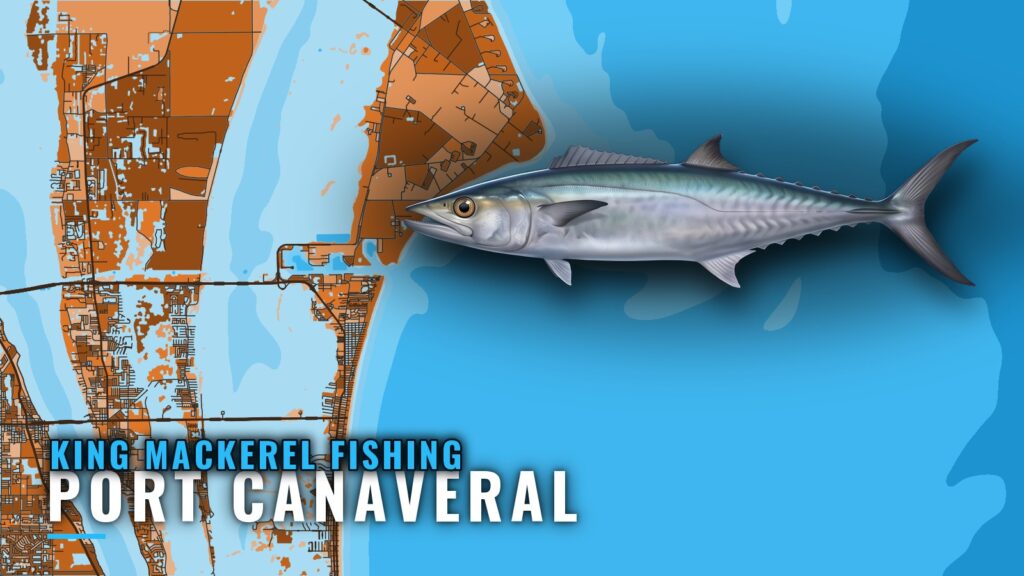
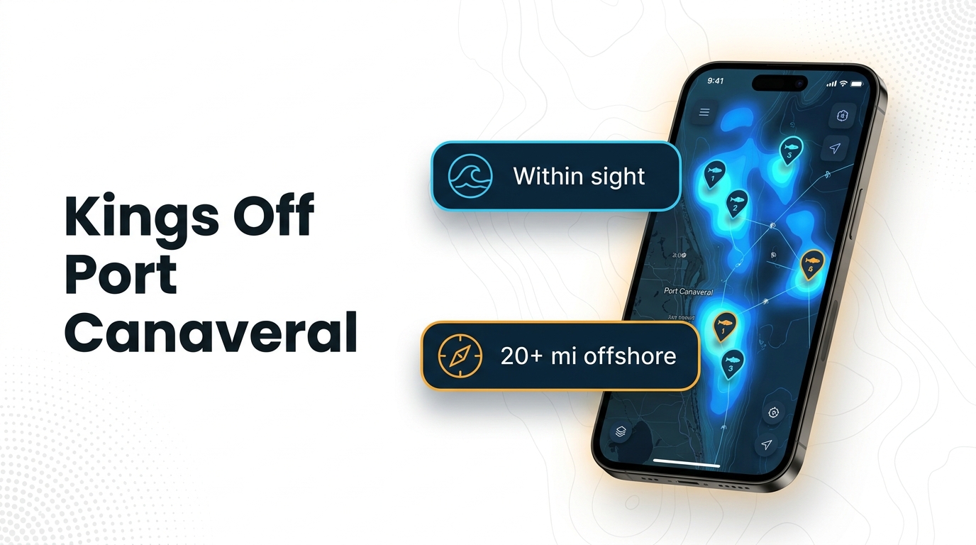
When kings are around Port Canaveral and how far boats run
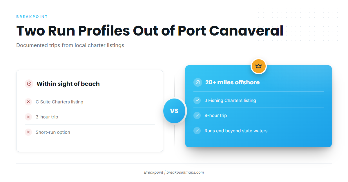
King mackerel fishing out of Port Canaveral has two documented run profiles: one that stays within sight of the beach and one that goes 20+ miles offshore. This page lists the named grounds with BV codes, the depth band local charters give, and who runs which trip.
Timing
Kings move through this stretch of coast on a seasonal pattern, and the timing shifts from year to year. The king mackerel fishing guide covers general behavior and seasonality, and the Atlantic Southeast regional picture (see also the Atlantic Southeast fishing guide) shows how the pattern plays out along the wider coast. Both carry the detail, so this page sticks to what is specific to the port.
Within sight of the beach
C Suite’s listing describes a 3-hour trip that stays within sight of the beach. It is the short-run option out of the port, so plan around a short trip rather than a long offshore day.
20 miles and beyond
J Fishing’s listing describes an 8-hour trip that runs 20+ miles offshore. Runs of that length end beyond state waters, which affects the rules that apply (see Regulations below).
| Run profile | Source listing | Length |
|---|---|---|
| Within sight of the beach | C Suite | 3 hours |
| 20+ miles offshore | J Fishing | 8 hours |
Grounds and structure off Port Canaveral
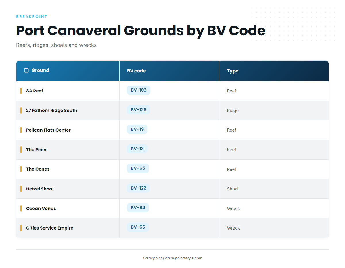
The grounds below are listed by name and BV code, and you can view them by BV code on the Port Canaveral page. Names, codes and wreck dimensions describe structure, not where fish are on a given day. Chart layers are not for navigation.
Reefs, ridges and shoals
- 8A Reef (BV-102)
- 27 Fathom Ridge South (BV-128): the southern end of a natural reef
- Pelican Flats Center (BV-19)
- The Pines (BV-13)
- The Cones (BV-65)
- Hetzel Shoal (BV-122)
Wrecks
- Ocean Venus (Lead Wreck, BV-64): a 425 ft by 57 ft steel WWII cargo ship
- Cities Service Empire (BV-66): a 465 ft tanker listed as breaking up
How kings are fished out of Port Canaveral
Local king mackerel fishing is organized around depth, and the structure above sits within it.
Depth
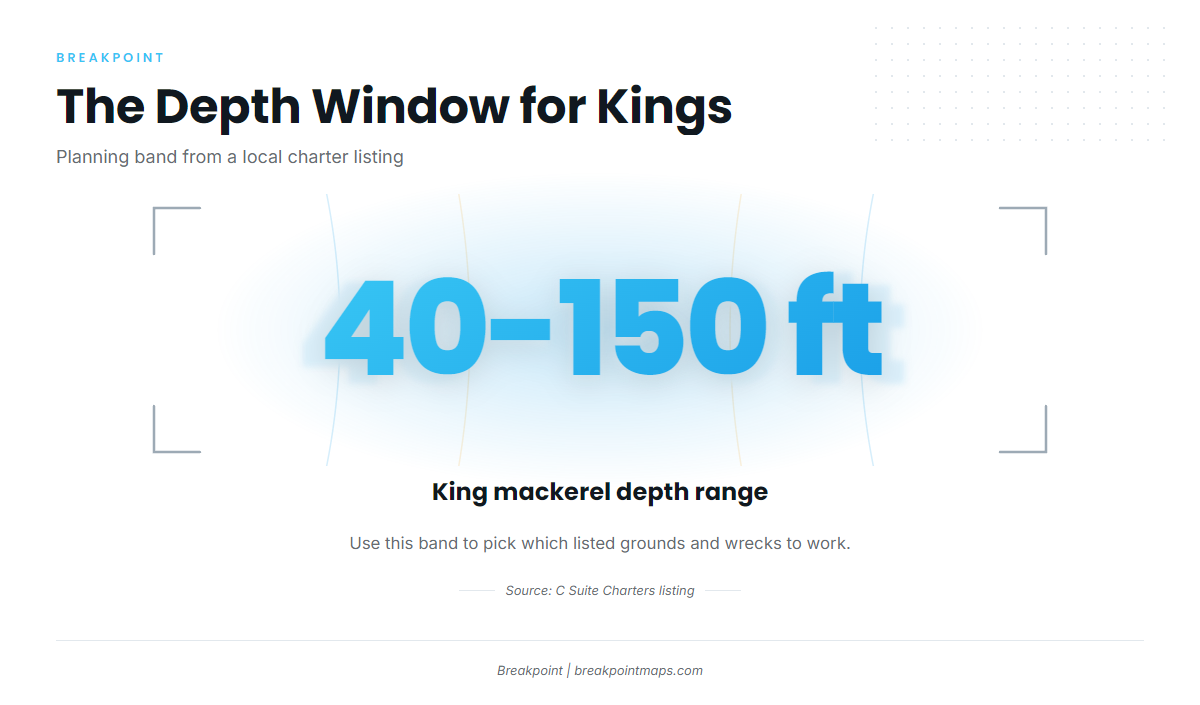
C Suite’s listing gives a depth range of 40 to 150 ft for king mackerel. Use that as the planning window.
Matching depth to structure
Use the 40 to 150 ft band to decide which of the listed grounds and wrecks to work, and check each against your own chart. The coastal and offshore gamefish guides cover the wider set of methods, and the FWC how-to-fish resources link to technique material from the state agency.
Who fishes for kings out of Port Canaveral
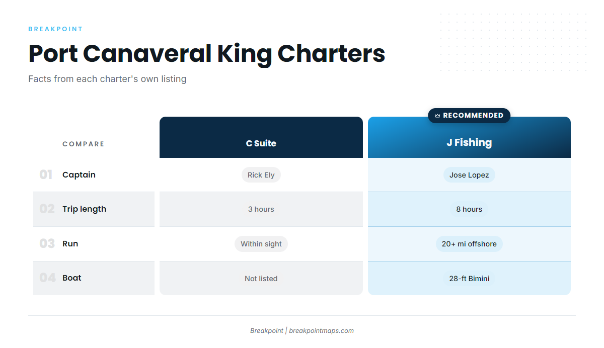
Everything in this section comes from each charter’s own listing.
C Suite Charters, Captain Rick Ely
The listing includes king mackerel. It describes a 3-hour trip within sight of the beach and gives a depth range of 40 to 150 ft.
J Fishing Charters, Captain Jose Lopez
The listing includes king mackerel. It describes an 8-hour trip running 20+ miles offshore on a 28-ft Bimini center console.
| Charter | Trip length | Run |
|---|---|---|
| C Suite Charters | 3 hours | Within sight of the beach |
| J Fishing Charters | 8 hours | 20+ miles offshore |
FAQ: King mackerel fishing out of Port Canaveral
How far do boats run for kings out of Port Canaveral?
Two profiles are documented. C Suite runs a 3-hour trip within sight of the beach, and J Fishing runs an 8-hour trip 20+ miles offshore.
What depth do local charters fish for kings?
C Suite’s listing gives a depth range of 40 to 150 ft for king mackerel.
What wrecks off Port Canaveral hold structure?
Ocean Venus (Lead Wreck, BV-64) is a 425 ft by 57 ft steel WWII cargo ship. Cities Service Empire (BV-66) is a 465 ft tanker listed as breaking up.
Which local charters target king mackerel?
C Suite Charters (Captain Rick Ely) and J Fishing Charters (Captain Jose Lopez) both list king mackerel.
Where do I find the rules?
FWC sets the rules for state waters and NOAA Fisheries for federal waters. See the Florida saltwater regulations and federal mackerel and cobia rules pages, and check before fishing.