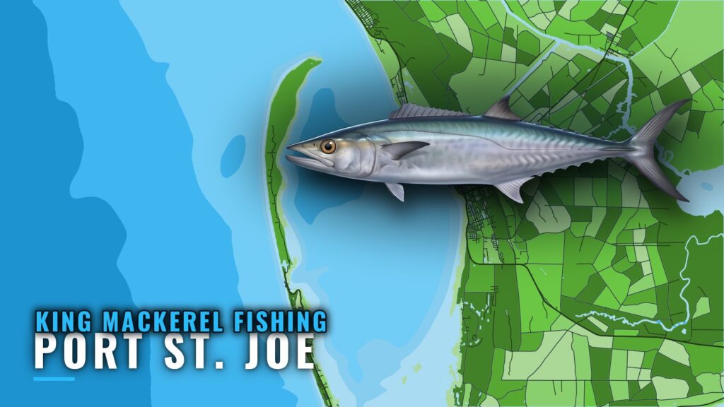
King mackerel fishing out of Port St. Joe runs on nearshore reefs and wrecks, with boats trolling live or rigged bait from May to October. This guide lists named structure with GU reef IDs you can load as waypoints, along with the season window and the method. Boats leave Port St. Joe on St. Joseph Bay and run out through the bay entrance to the Gulf.
When kings are off Port St. Joe
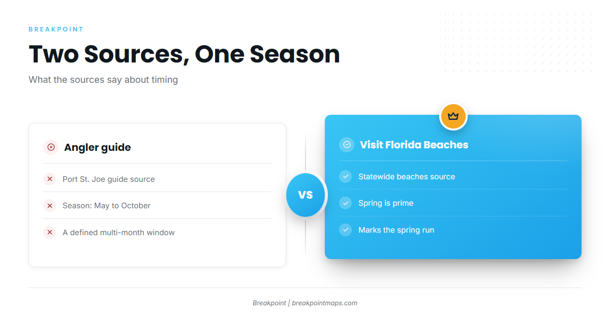
Two sources give the timing: May to October for the season, with spring listed as prime. For biology, migration and spawning, read the king mackerel species guide.
The May to October window
A Port St. Joe angler guide puts the season at May to October.
Spring
Visit Florida Beaches lists spring as prime. That is the spring run, and it falls at the front edge of the longer May to October window.
Where boats run
Boats run out of St. Joseph Bay to nearshore reefs and wrecks. For the regional picture beyond this port, see the Gulf of Mexico king mackerel guide (see also the wider Gulf of Mexico guide). The sites here are Gulf County artificial reefs and wrecks, plus the Twin Ridges deep water reefs and the Empire Mica tanker.
Nearshore reefs and wrecks
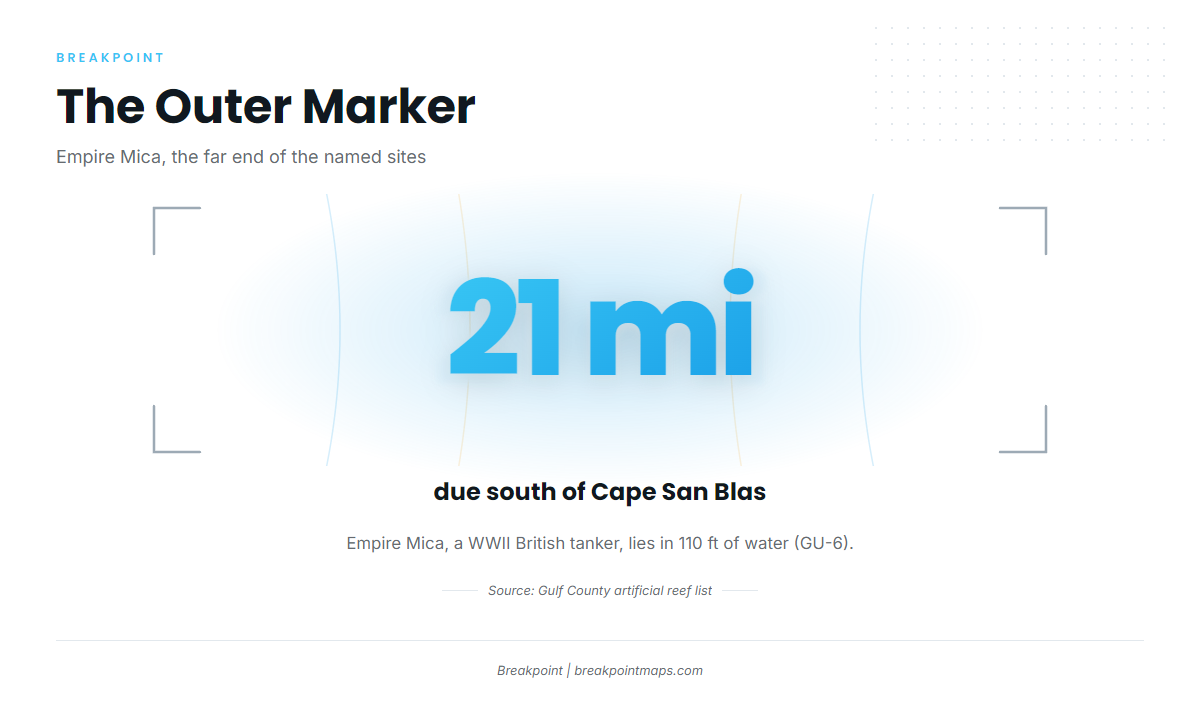
Each site carries a GU number, which is its reef ID. The outer marker is Empire Mica, 21 miles due south of Cape San Blas in 110 ft. Distances to the other sites aren’t given here, so plot each one from the bay entrance before you leave the dock.
Reefs and wrecks that hold kings
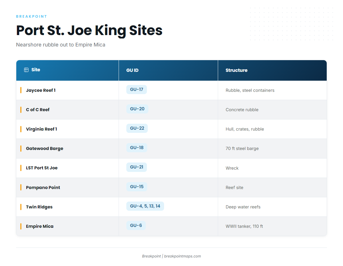
These are the named sites, from the nearer rubble reefs out to Empire Mica. The Gulf County artificial reef list carries the reef-by-reef detail.
| Site | GU ID | Structure |
|---|---|---|
| Jaycee Reef 1 | GU-17 | Concrete rubble and steel containers |
| C of C Reef | GU-20 | Concrete rubble and prefabricated concrete |
| Virginia Reef 1 | GU-22 | Boat hull, metal crates and concrete rubble |
| Gatewood Barge | GU-18 | 70 ft steel barge |
| LST Port St Joe | GU-21 | Wreck |
| Pompano Point | GU-15 | |
| Twin Ridges NE, SE, NW, SW | GU-4, GU-5, GU-13, GU-14 | Northeast Gulf deep water reefs |
| Empire Mica | GU-6 | WWII British tanker, 110 ft, 21 miles due south of Cape San Blas |
Rubble reefs: Jaycee Reef 1, C of C Reef, Virginia Reef 1
Jaycee Reef 1 (GU-17) is concrete rubble and steel containers. C of C Reef (GU-20) is concrete rubble and prefabricated concrete. Virginia Reef 1 (GU-22) is a boat hull, metal crates and concrete rubble.
Gatewood Barge, LST Port St Joe and Pompano Point
Gatewood Barge (GU-18) is a 70 ft steel barge. LST Port St Joe is GU-21 and Pompano Point is GU-15.
Twin Ridges
Twin Ridges has four sites listed as northeast Gulf deep water reefs: NE (GU-4), SE (GU-5), NW (GU-13) and SW (GU-14). They are the next step out for a boat moving deeper than the rubble reefs.
Empire Mica
Empire Mica (GU-6) is a WWII British tanker in 110 ft, 21 miles due south of Cape San Blas.
How kings are fished here, and who fishes them
The local method is trolling. For rigging and trolling depth, see the coastal and offshore gamefish guides.
Trolling live or rigged bait
Boats here troll live or rigged bait for king mackerel. Local anglers call the fish kingfish.
Working near reefs
Visit Florida Beaches says trolling near reefs works well for king mackerel. The reefs and wrecks in the table above are where to work your pattern.
Boats running their own trips from the port
This page is written for anglers who run their own boats from Port St. Joe to the sites above. For tide reference, use NOAA tide station 8728912, named for Port Saint Joe. Check the numbers on the station page and the official marine forecast before you go.
FAQ
When are king mackerel off Port St. Joe?
King mackerel fishing out of Port St. Joe runs May to October, according to a Port St. Joe angler guide. Visit Florida Beaches lists spring as prime. Anglers who want the front edge of the window should plan around the spring run, and the rest of the window is the working season.
How far do boats run for kings?
Boats run to nearshore reefs and wrecks. The outer named site is Empire Mica, 21 miles due south of Cape San Blas in 110 ft. Distances to the other sites aren’t listed here, so plot each from the bay entrance before leaving the dock.
Which reefs hold kings near Port St. Joe?
Jaycee Reef 1 (GU-17), C of C Reef (GU-20), Virginia Reef 1 (GU-22), Gatewood Barge (GU-18), LST Port St Joe (GU-21), Pompano Point (GU-15), Twin Ridges (GU-4, GU-5, GU-13, GU-14) and Empire Mica (GU-6).
What method do local boats use?
Local boats troll live or rigged bait. Visit Florida Beaches says trolling near reefs works well for king mackerel. The coastal and offshore gamefish guides linked above cover rigging in more depth.
Where do I check tides for Port St. Joe?
Use NOAA tide station 8728912, named for Port Saint Joe. It is the tide reference for trip planning from this port.