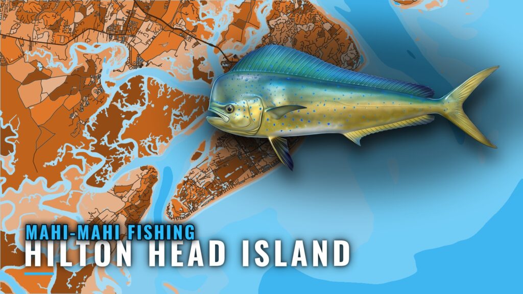
When mahi are off Hilton Head Island
Mahi-mahi fishing out of Hilton Head Island follows a fixed calendar. Tail Tamer runs mahi trips mid April through October, and FishingBooker names spring and summer as the best window for billfish and mahi. The Hilton Head port page has inlet, ramp and conditions detail.
The window breaks down this way:
- Mid April through October: the span Tail Tamer lists for mahi trips, with October marking the tail end of the season.
- Spring and summer: the stretch FishingBooker calls best for billfish and mahi.
For biology and behavior, see the mahi-mahi species guide.
How far boats run
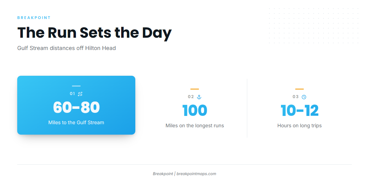
According to A Live One, the Gulf Stream sits about 60 to 80 miles off Hilton Head. Salty Mistress runs out to about 100 miles on 10 to 12 hour trips. That distance is the mahi water, and a 60 to 100 mile run takes a full day, so block the whole day before you commit, especially if you are trailering in for a visit.
| Run | Distance | Trip length |
|---|---|---|
| Gulf Stream, per A Live One | About 60 to 80 miles | Full day |
| Salty Mistress long run | Out to about 100 miles | 10 to 12 hours |
NOAA tide station 8669167 at Port Royal Plantation reports water levels, so check it before you leave the dock. It is a tide station and does not report offshore conditions.
Named reefs and wrecks off the port
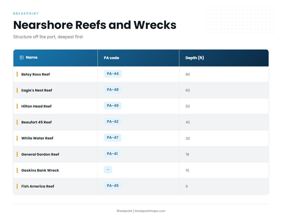
The named South Carolina artificial reefs and wrecks off this port sit in 9 to 90 ft of water. This is nearshore structure, and the mahi grounds are the Gulf Stream, so the table below is chart reference rather than a mahi list.
| Name | PA code | Depth (ft) | Notes |
|---|---|---|---|
| Betsy Ross Reef | PA-44 | 90 | |
| Eagle’s Nest Reef | PA-48 | 60 | |
| Hilton Head Reef | PA-49 | 50 | |
| Beaufort 45 Reef | PA-42 | 45 | DNR gives coordinates only |
| White Water Reef | PA-47 | 30 | |
| General Gordon Reef | PA-41 | 18 | Wreck |
| Gaskins Bank Wreck | – | 10 | Wreck |
| Fish America Reef | PA-45 | 9 |
Chart layers are not for navigation. Use your official charts and chartplotter for the run.
How mahi are fished from Hilton Head
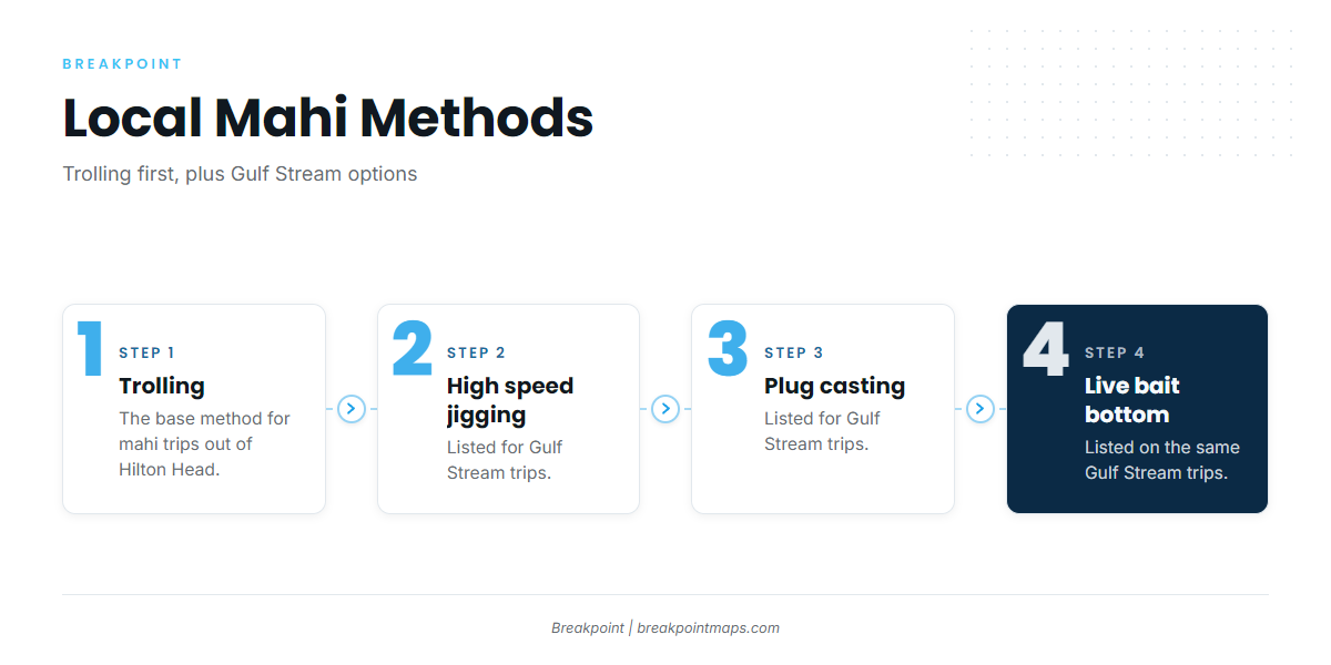
Mahi-mahi fishing out of Hilton Head Island starts with trolling. On Gulf Stream trips, Live Oac also lists high speed jigging, plug casting and live bait bottom fishing. The Atlantic Southeast mahi guide (see also the Atlantic Southeast offshore fishing guide) covers the regional weed line and Gulf Stream pattern.
Trolling
Trolling is the primary local method. It is how the day starts and, for most boats, how it runs.
Jigging, plug casting and live bait
Live Oac lists three more methods for Gulf Stream trips: high speed jigging, plug casting and live bait bottom fishing.
Who fishes for mahi out of Hilton Head
Two local charters list mahi-mahi: Tail Tamer Fishing Charters and Salty Mistress Sport Fishing. Billfish share the spring and summer window, so the offshore gamefish guides are useful if you are rigging for more than one species.
| Operator | Boat or captain | Departure or run |
|---|---|---|
| Tail Tamer Fishing Charters | Capt. Terry Hall | Daily trips from the company dock at Broad Creek Marina |
| Salty Mistress Sport Fishing | 2002 Rampage 38 Express | Out to about 100 miles on 10 to 12 hour trips |
Tail Tamer Fishing Charters
Capt. Terry Hall runs Tail Tamer Fishing Charters, with daily trips from the company dock at Broad Creek Marina. Mahi trips run mid April through October.
Salty Mistress Sport Fishing
Salty Mistress Sport Fishing operates as Above and Below Charters. The boat is a 2002 Rampage 38 Express with twin Caterpillar diesels, running out to about 100 miles on 10 to 12 hour trips.
FAQ: mahi-mahi fishing out of Hilton Head Island
How far is the Gulf Stream from Hilton Head Island?
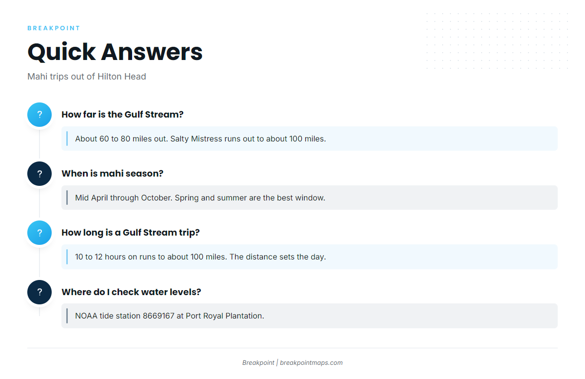
The Gulf Stream is about 60 to 80 miles out, according to A Live One. Salty Mistress runs out to about 100 miles.
When is mahi season out of Hilton Head?
Tail Tamer runs mahi trips mid April through October. FishingBooker names spring and summer as the best window for billfish and mahi.
How long is a Gulf Stream mahi trip from Hilton Head?
Salty Mistress runs 10 to 12 hour trips for runs out to about 100 miles. The distance sets the day, so plan for all of it.
Do the nearshore reefs hold mahi?
The named reefs sit in 9 to 90 ft, from Fish America Reef (PA-45) to Betsy Ross Reef (PA-44). The mahi grounds listed for this port are the Gulf Stream.
Where do I check water levels before leaving?
Use NOAA tide station 8669167 at Port Royal Plantation, and check it before you leave the dock.