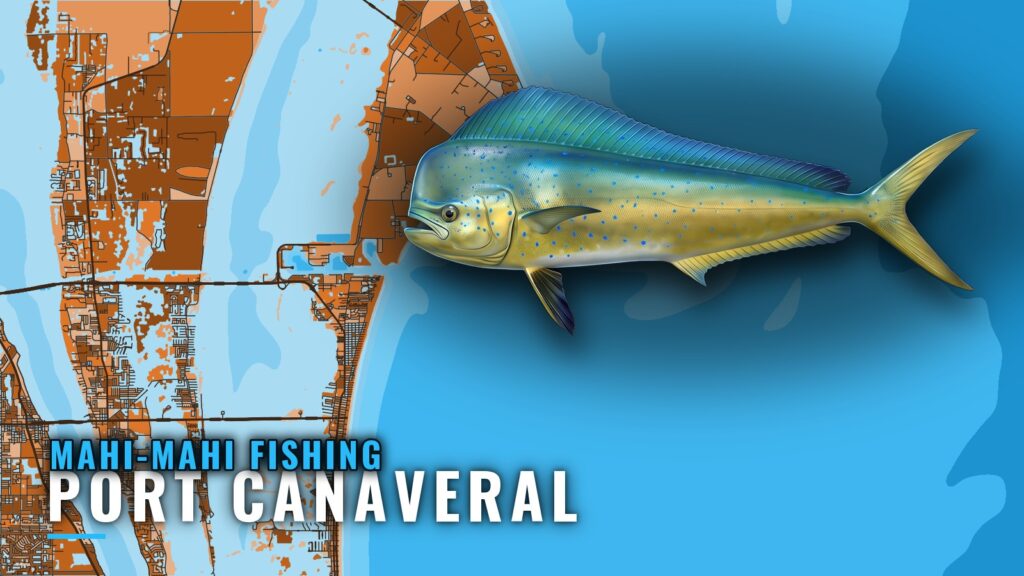
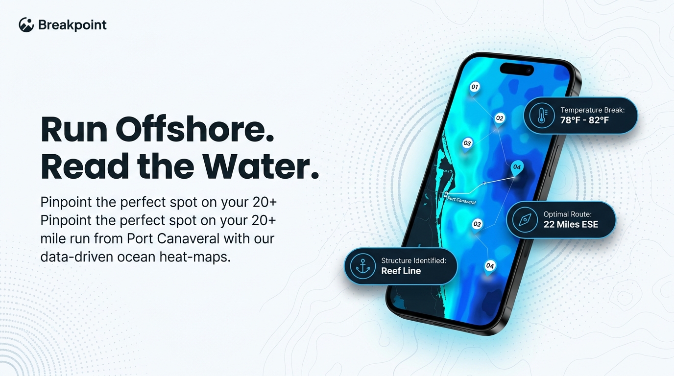
Mahi-mahi fishing out of Port Canaveral starts with a run of 20+ miles offshore, past named reef, shoal and wreck positions. Inlet, launch and the marine forecast are on our Port Canaveral page. The sections below cover timing, the run, the 8 BV-coded grounds on the way out, how to read the surface, who runs trips for hire and where the rules sit.
When mahi are around Port Canaveral
Water conditions set the timing here, not the calendar. Mahi follow the regional pattern, and that pattern determines when fish show up along the Space Coast. The Atlantic Southeast migration (see also the Atlantic Southeast fishing guide) covers how it unfolds. No calendar will tell you where the edge sits on a given day; the water will.
How far boats run for mahi-mahi out of Port Canaveral
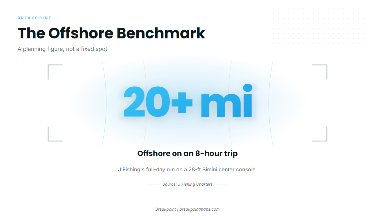
The local benchmark is J Fishing’s 8-hour trip, which runs 20+ miles offshore. Take that as a planning figure rather than a fixed spot. It shows how far a full-day boat commits, and there is no coordinate where fish wait. If you run your own center console, that distance shapes the day.
- Distance: 20+ miles offshore each way.
- Checkpoints: the named grounds below mark the route out and back.
- Forecast: read the official marine forecast for wind, wave height and period before you leave.
Planning the run
The run heads east off Cape Canaveral. Use the named grounds in the next section as checkpoints going out and coming back, and check wind, wave height and period in the forecast linked from the port page. Those numbers tell you what the run will look like.
Fuel and range
Budget for 20+ miles each way plus trolling time. Your boat’s burn rate and tank size set the rest. Our data gives distances to waypoints, and the fuel math is yours to do.
Grounds and structure off the port
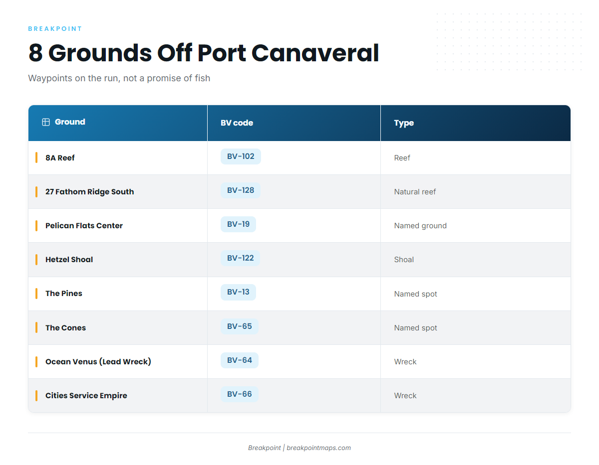
Each ground is listed by its BV code. These 8 positions are waypoints and reference points on the run, a starting point for reading the water. They do not guarantee mahi.
| Name | BV code | Type | Note |
|---|---|---|---|
| 8A Reef | BV-102 | reef | None |
| 27 Fathom Ridge South | BV-128 | natural reef | Southern end of a natural reef |
| Pelican Flats Center | BV-19 | named ground | None |
| Hetzel Shoal | BV-122 | shoal | None |
| The Pines | BV-13 | named spot | None |
| The Cones | BV-65 | named spot | None |
| Ocean Venus (Lead Wreck) | BV-64 | wreck | 425 ft by 57 ft steel WWII cargo ship |
| Cities Service Empire | BV-66 | wreck | 465 ft tanker, listed as breaking up |
Natural reef and ridge
8A Reef is BV-102. Pelican Flats Center is BV-19. 27 Fathom Ridge South is BV-128 and marks the southern end of a natural reef.
Shoals and named spots
Hetzel Shoal is BV-122, The Pines is BV-13, and The Cones is BV-65. Chart layers are not for navigation, so run the official chart.
Wrecks
Ocean Venus, also known as the Lead Wreck, is BV-64: a 425 ft by 57 ft steel WWII cargo ship. Cities Service Empire is BV-66: a 465 ft tanker listed as breaking up. Because a breaking-up wreck changes shape over time, treat the charted outline as a reference and not a survey.
How mahi are fished here
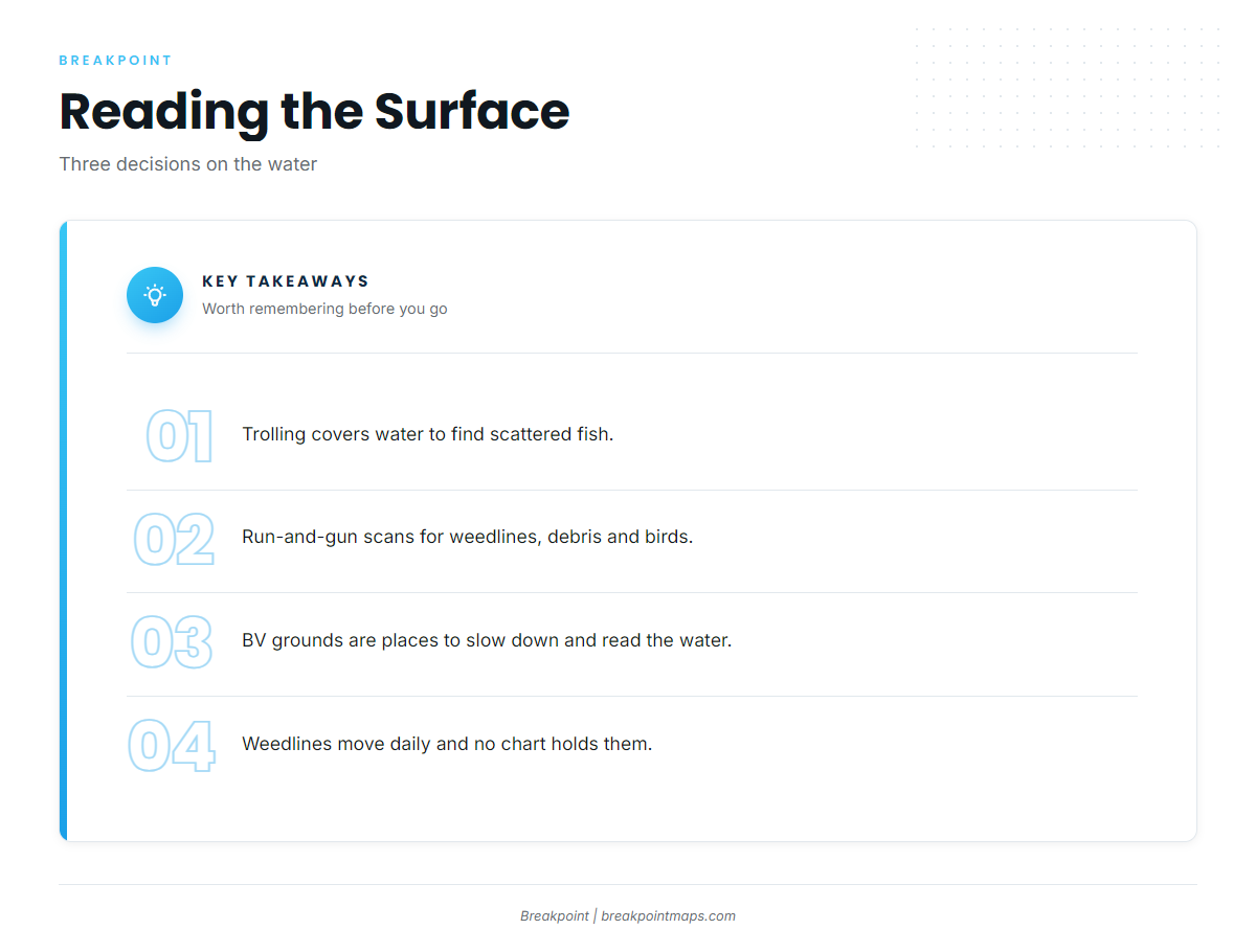
Mahi relate to floating structure and surface edges more than to bottom, and that shapes how you fish them.
- Trolling: covers water to find scattered fish.
- Run-and-gun: run and scan for weedlines, floating debris and birds, then stop and fish what you find.
- Structure as a reference point: use the BV-coded grounds as places to slow down and read the water, not as targets in themselves.
Weedlines move daily and no chart holds them. Check OBS SST and Chlorophyll for an edge before you commit fuel, and use Chart Contours to see where the bottom changes.
For biology and tackle, see how mahi-mahi behave and feed. The same run and the same grounds also put you on other offshore gamefish.
Who fishes for them out of Port Canaveral
J Fishing Charters, run by Captain Jose Lopez, lists mahi-mahi. The boat is a 28-ft Bimini center console, and the 8-hour trip runs 20+ miles offshore. For anyone planning their own run, that range and boat size make a usable benchmark.
FAQ about mahi-mahi fishing out of Port Canaveral
How far offshore do boats run for mahi out of Port Canaveral?
J Fishing’s 8-hour trip runs 20+ miles offshore, which is the local planning benchmark.
Which named spots are on the way offshore?
The 8 grounds are 8A Reef (BV-102), 27 Fathom Ridge South (BV-128), Pelican Flats Center (BV-19), Hetzel Shoal (BV-122), The Pines (BV-13), The Cones (BV-65), Ocean Venus (Lead Wreck, BV-64) and Cities Service Empire (BV-66).
Do the wrecks off Port Canaveral hold mahi?
Mahi relate to floating structure and surface edges more than to bottom. Treat Ocean Venus (Lead Wreck, BV-64) and Cities Service Empire (BV-66) as waypoints for reading the water, not as a forecast of fish.
Who runs mahi charters out of Port Canaveral?
J Fishing Charters, with Captain Jose Lopez, lists mahi-mahi and runs a 28-ft Bimini center console on an 8-hour trip 20+ miles offshore.
Where are the mahi rules for fishing off Port Canaveral?
The FWC sets the state rules. A 20+ mile run puts you in federal waters, so check both the state and federal rules before you fish.