Red grouper out of Fort Pierce
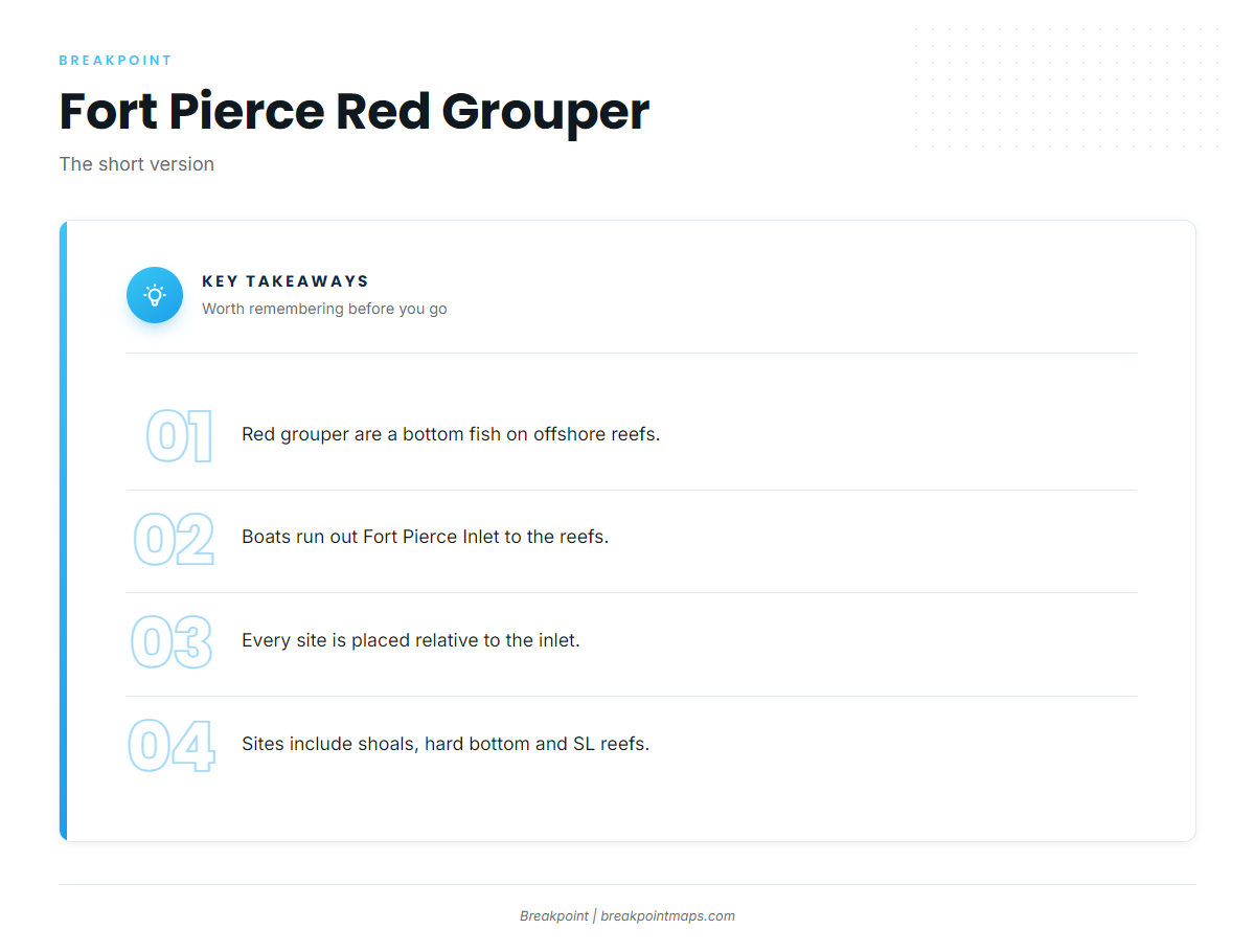
Red grouper fishing out of Fort Pierce is bottom fishing on the offshore reefs past Fort Pierce Inlet. The Fort Pierce port guide covers the inlet, ramps and conditions. Boats run out the inlet to offshore reefs and wrecks, and the local offshore charter trip lists red grouper alongside mangrove snapper. For timing, see the red grouper species guide. This page lists the named shoals, hard bottom and SL-numbered artificial reefs by position relative to the inlet and by what each is made of. For the wider coast, see the red grouper fishing in the Atlantic Southeast and the Atlantic Southeast offshore fishing guide.
Grounds and structure off Fort Pierce Inlet
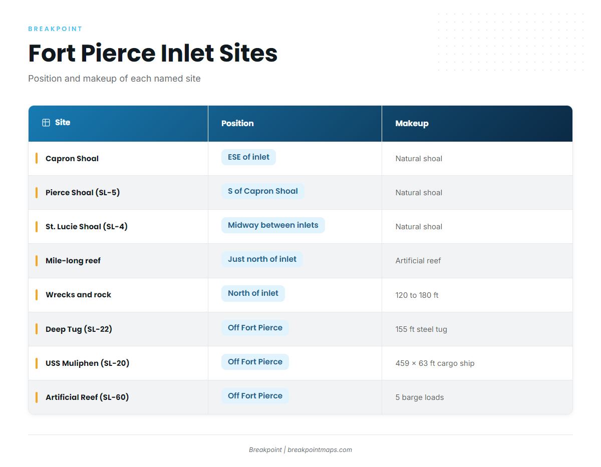
Every position below is given relative to Fort Pierce Inlet. The list runs from natural shoals to hard bottom north of the inlet to the artificial sites. The SL designations mark St. Lucie County sites.
| Site | Position relative to the inlet | Makeup |
|---|---|---|
| Capron Shoal | East-southeast | Natural shoal |
| Pierce Shoal (SL-5) | Due south of Capron Shoal | Natural shoal |
| St. Lucie Shoal (SL-4) | About halfway between Fort Pierce and St. Lucie inlets | Natural shoal |
| Mile-long artificial reef | Just north of the inlet | Artificial reef |
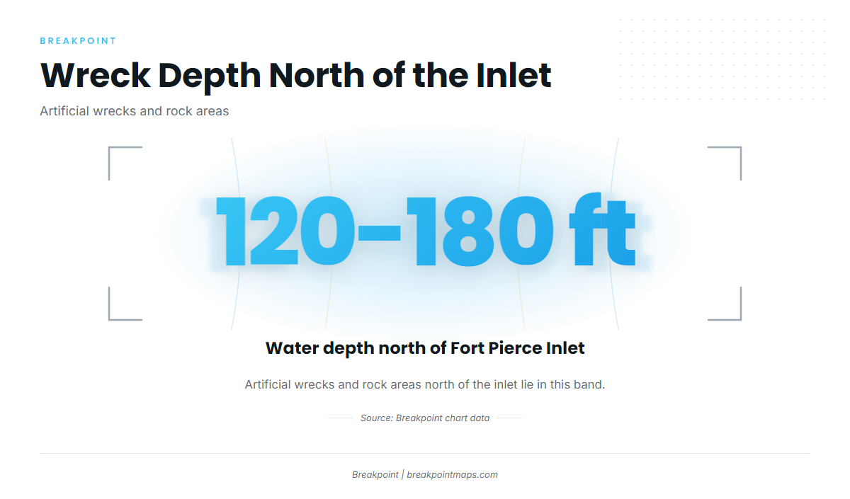
| Wrecks and rock areas | North of the inlet, 120 to 180 ft | Artificial wrecks and rock |
| Deep Tug (SL-22) | Offshore | 155-foot steel tug |
| USS Muliphen (SL-20) | Offshore | C-2 attack cargo ship, 459 x 63 ft |
| Ft Pierce Artificial Reef (SL-60) | Offshore | Five 25 x 60 ft barge loads |
Capron Shoal
Capron Shoal is a natural shoal east-southeast of Fort Pierce Inlet.
Pierce Shoal (SL-5)
Pierce Shoal (SL-5) lies due south of Capron Shoal.
St. Lucie Shoal (SL-4)
St. Lucie Shoal (SL-4) sits about halfway between Fort Pierce and St. Lucie inlets, which makes it the southernmost shoal on this list.
Mile-long artificial reef north of Fort Pierce Inlet
An artificial reef about a mile long sits just north of Fort Pierce Inlet. It is a separate site from the wrecks and rock areas in deeper water.
Wrecks and rock areas north of the inlet, 120 to 180 ft
Artificial wrecks and rock areas lie north of Fort Pierce Inlet in 120 to 180 ft of water, the deep hard-bottom band on this list.
Deep Tug (SL-22)
Deep Tug (SL-22), listed as Ft Pierce Artificial, is a 155-foot steel tug.
USS Muliphen (SL-20)
USS Muliphen (SL-20) is a C-2 attack cargo ship, 459 x 63 ft, the largest single structure on this list.
Ft Pierce Artificial Reef (SL-60)
Ft Pierce Artificial Reef (SL-60) is built from five 25 x 60 ft barge loads.
These sites can be viewed against Chart Contours in the Breakpoint app. Chart layers are not for navigation.
How red grouper are fished from Fort Pierce
The local method is bottom fishing. The Chosen One offshore trip lists red grouper with mangrove snapper on the same bottom-fishing run, worked on the offshore reefs and wrecks rather than at the surface. For wider reef-fish context, see the reef fish fishing guides.
- Method: bottom fishing
- Paired species: mangrove snapper
- Where: offshore reefs
Who fishes for red grouper out of Fort Pierce
Chosen One Fishing Charters offshore, run by Captain Remus Griffin, lists red grouper on its offshore bottom-fishing trip, which works offshore reefs. Among Fort Pierce charters, it is the local listing that names the species, which matters if you are weighing a charter against running your own boat.
FAQ: red grouper fishing out of Fort Pierce
Where do boats fish for red grouper off Fort Pierce?
Boats bottom fish offshore reefs past Fort Pierce Inlet. Sites on the list include Capron Shoal, the wrecks north of the inlet and USS Muliphen (SL-20).
What is the USS Muliphen (SL-20)?
It is a C-2 attack cargo ship, 459 x 63 ft, at a St. Lucie County artificial reef site off Fort Pierce.
What depth are the wrecks north of Fort Pierce Inlet?
The artificial wrecks and rock areas north of the inlet lie in 120 to 180 ft of water.
Is there a Fort Pierce charter that lists red grouper?
Chosen One Fishing Charters, with Captain Remus Griffin, lists red grouper with mangrove snapper on its offshore bottom-fishing trip.
Where are the red grouper rules for Fort Pierce?
FWC sets them, and the Florida regulations page carries them. Check it before fishing, because Gulf federal reef fish rules do not apply off Fort Pierce.