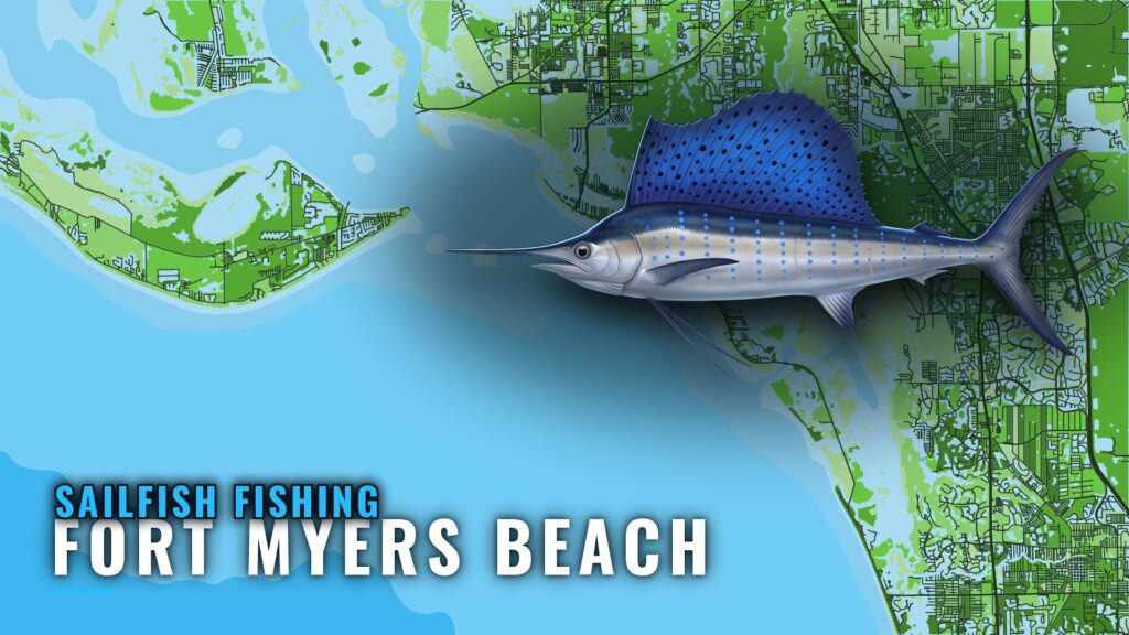
Sailfish off Fort Myers Beach
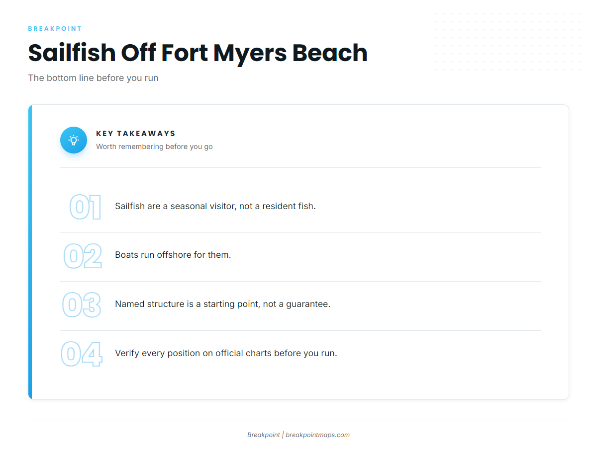
Sailfish visit the waters off Fort Myers Beach seasonally; they don’t live there year-round, and boats run offshore to find them. The Fort Myers Beach port guide covers getting out and reading conditions. For the wider regional picture, including how Gulf fish compare with the Atlantic side, see the Gulf of Mexico sailfish guide (see also the Gulf of Mexico region guide).
Season and running distance at a glance
- Season: seasonal visitor, not a resident fish
- Where boats run: offshore
- Farthest named site: about 30 miles off Sanibel Island
- Starting points: the six named sites in the table below
Named grounds and structure near Fort Myers Beach
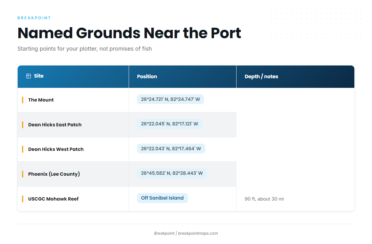
These are the named grounds and structure near the port, most of them part of the Lee County artificial reef program. Structure is a place to start looking, and it doesn’t guarantee fish.
| Site | Position | Depth / notes |
|---|---|---|
| The Mount (Chris Koepfer’s ARC reef site) | 26°24.721′ N, 82°24.747′ W | |
| Dean Hicks East Patch | 26°22.045′ N, 82°17.121′ W | |
| Dean Hicks West Patch | 26°22.043′ N, 82°17.464′ W | |
| Phoenix (Lee County reef site) | 26°45.582′ N, 82°28.443′ W | |
| USCGC Mohawk WPG-78 Veterans Memorial Reef | 90 ft, about 30 miles off Sanibel Island | |
| Big Carlos Bridge Artificial Reef |
Published coordinates and chart layers are not for navigation. Verify each position on official charts before you run.
USCGC Mohawk Veterans Memorial Reef
The Mohawk sits in 90 ft of water, about 30 miles off Sanibel Island. That distance is measured from Sanibel Island, not from the port.
Dean Hicks East and West patches
These are two separate waypoints, so load them as two. Their latitudes are nearly identical, and the longitudes differ.
Phoenix (Lee County)
Phoenix is a Lee County reef site at 26°45.582′ N, the northernmost position in the list.
How sailfish are fished from this port
Sailfish fishing here is an offshore effort for a seasonal fish, with the named structure above as a starting point. For rigs, baits and release handling, use the sailfish fishing guide.
Anglers who fish for sailfish here run their own offshore-capable boats out of Fort Myers Beach. If you are comparing ports before committing to a run, the billfish fishing guides lay them side by side.
FAQ about sailfish fishing out of Fort Myers Beach
Can you catch sailfish out of Fort Myers Beach?
Yes. Sailfish are a seasonal visitor, and boats run offshore for them. Structure and a long run improve your chances of finding fish but don’t promise them.
When are sailfish around Fort Myers Beach?
They are a seasonal visitor, not a resident fish. The Gulf of Mexico sailfish guide covers the wider seasonal picture for the region.
How far do boats run for sailfish?
Boats run offshore. The one distance we can give is the Mohawk reef, about 30 miles off Sanibel Island.
Where is the Mohawk reef?
It is the USCGC Mohawk WPG-78 Veterans Memorial Reef, in 90 ft of water about 30 miles off Sanibel Island. Verify the position on official charts before you run.
Where do I find the sailfish rules?
State rules come from the Florida Fish and Wildlife Conservation Commission, and federal rules come from NOAA Fisheries. Check both before you fish.