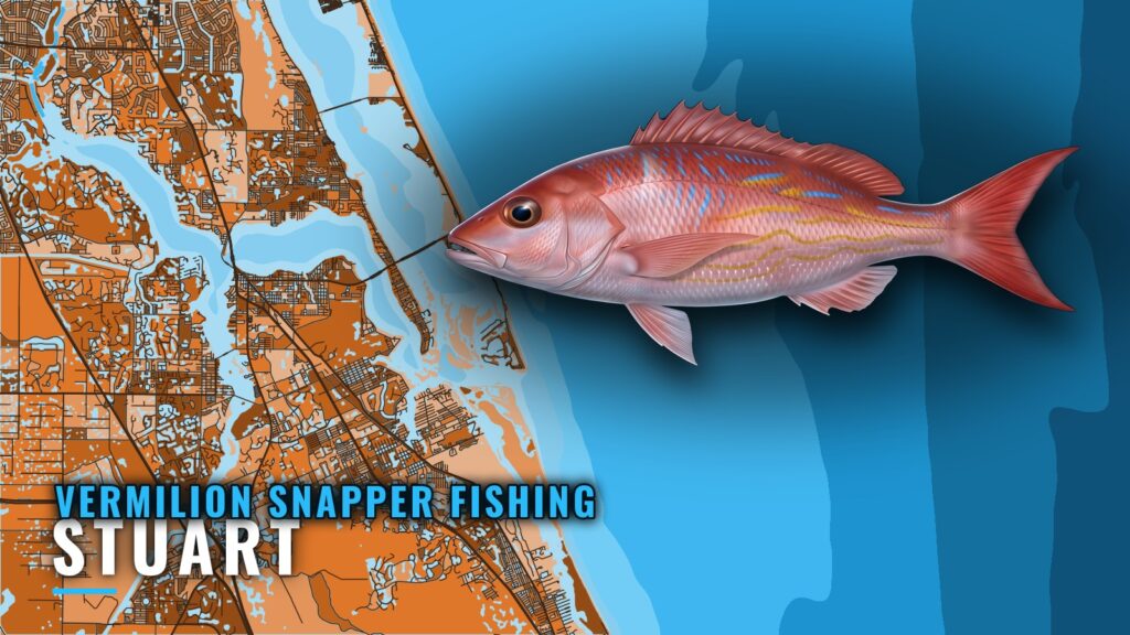
Vermilion snapper fishing out of Stuart runs from St. Lucie Inlet to a short list of named reefs and wrecks between 80 and 200 ft. This page covers the Treasure Coast grounds, the depths and distances where they are known, the local rig, the charter that lists vermilion, and where to find tides and rules. The wider picture is in the vermilion snapper fishing in the Atlantic Southeast and the Atlantic Southeast fishing guide.
When vermilion snapper are around off Stuart
Seasonality and biology are covered in the vermilion snapper guide. This page stays on the port.
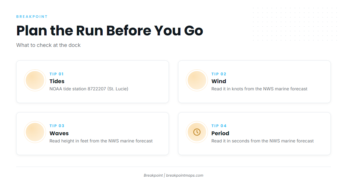
Three sources matter when planning a run:
- Tides: St. Lucie Inlet tides come from NOAA tide station 8722207 (St. Lucie).
- Offshore conditions: Read wind in knots, wave height in feet, and wave period in seconds.
- Forecast source: Use the official National Weather Service marine forecast for the waters off Stuart.
Check all three the night before and again at the dock.
Where Stuart boats run
Boats leave through St. Lucie Inlet. The Stuart port page carries the ramps, the inlet, and the conditions context. From the inlet, the first run is to Pushbutton Hill, which locals call the Hill.
Pushbutton Hill (the Hill)
Pushbutton Hill sits offshore of St. Lucie Inlet, and Stuart boats run there first. Distances on this page are measured from the same inlet.
Grounds and structure that hold vermilion near Stuart
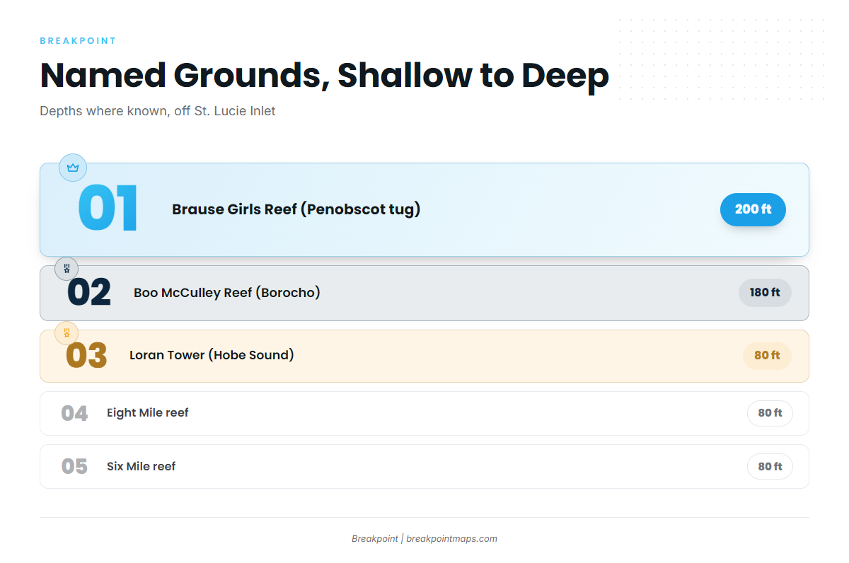
The named grounds run from a nearshore reef out to 200 ft, covering the reefs and wrecks off Martin County. The table lists them together:
| Ground | Also called | Depth | Location note |
|---|---|---|---|
| Sandpile reef | Nearshore reef | ||
| Six Mile reef | 80 ft | Named for six miles | |
| Eight Mile reef | 80 ft | Named for eight miles | |
| Loran Tower | Hobe Sound | 80 ft | Off the Loran tower in Hobe Sound |
| The Rankin | USS Rankin wreck | ||
| Boo McCulley Reef | Borocho | 180 ft | 9 miles offshore of St. Lucie Inlet |
| Brause Girls Reef | Penobscot tug | 200 ft | Nine to ten miles offshore, reached from Stuart |
Sandpile reef
Sandpile is a nearshore reef and the inshore reference point on the list.
Six Mile and Eight Mile reefs
Both sit in 80 ft. Six Mile is named for six miles and Eight Mile for eight miles.
Loran Tower (Hobe Sound)
This ground sits in 80 ft, off the Loran tower in Hobe Sound. Together with Six Mile and Eight Mile, it makes up the 80-ft band.
The Rankin (USS Rankin wreck)
The Rankin is the USS Rankin wreck.
Boo McCulley Reef (Borocho)
Boo McCulley Reef, also called Borocho, sits in 180 ft, 9 miles offshore of St. Lucie Inlet.
Brause Girls Reef (Penobscot tug)
Brause Girls Reef sits in 200 ft, nine to ten miles offshore, reached from Stuart. It is the deepest named ground on the list. Chart Contours in Breakpoint shows the depth lines around it. Chart layers are not for navigation.
How vermilion are fished out of Stuart
Locally, vermilion are fished on chicken rigs with squid on the bottom. For the wider picture, see the reef fish guides.
Who fishes for vermilion out of Stuart
Vermilion snapper fishing out of Stuart is done by owner-operators and by charter. Catch Of The Day Charters lists vermilion snapper and runs an Ocean Yachts 37-foot Billfish.
FAQ: vermilion snapper fishing out of Stuart
Where do Stuart boats go for vermilion?
Pushbutton Hill (the Hill), offshore of St. Lucie Inlet. From there, boats work the named grounds, from Sandpile reef out to Brause Girls Reef.
How deep is Boo McCulley Reef?
180 ft, 9 miles offshore of St. Lucie Inlet. It is also called Borocho.
What rig is used locally?
Chicken rigs with squid on the bottom.
Where do I get St. Lucie Inlet tides?
From NOAA tide station 8722207 (St. Lucie). Wind, wave height, and period come from the National Weather Service marine forecast.
Who runs vermilion charters from Stuart?
Catch Of The Day Charters lists vermilion snapper. The boat is an Ocean Yachts 37-foot Billfish.