Yellowfin tuna fishing out of the Lower Keys: when and where
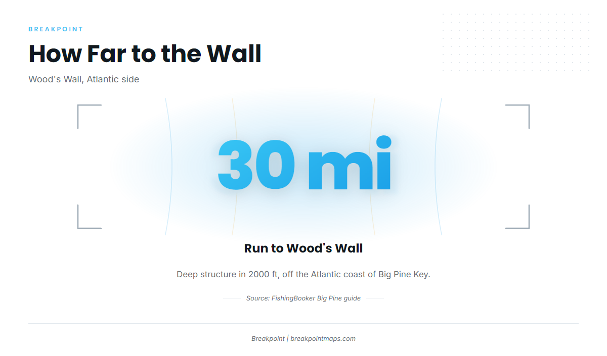
Yellowfin fishing out of the Lower Keys is an offshore run on the Atlantic side. FishingBooker’s Big Pine guide places tuna further offshore, past the reef line.
The run works as a depth progression: 35 ft at the reef, 112 ft at the wreck, 2000 ft at the wall. This page lays out the grounds in the order you pass them, with depths and distances.
Season
FishingBooker’s Cudjoe Key page lists tuna among the offshore fish but ties them to no month. For timing and the wider species picture, see our yellowfin tuna guide.
Running offshore from Big Pine and Cudjoe Key
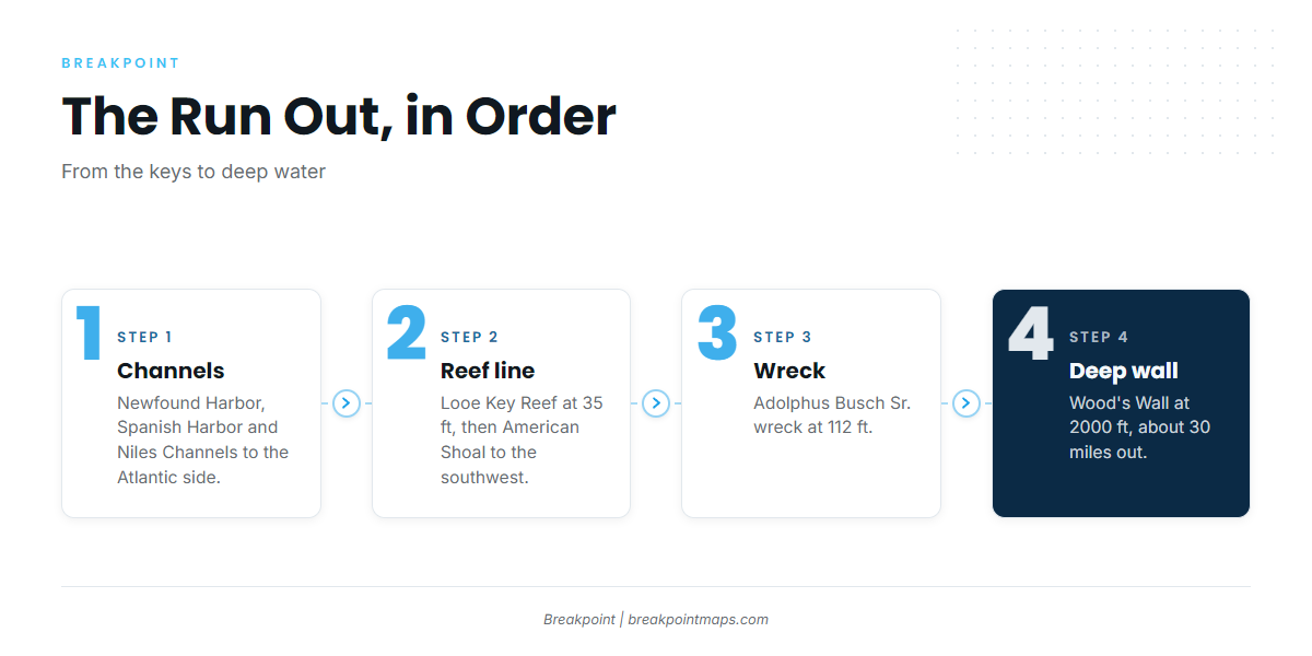
The run goes east and south of the keys to the Atlantic side, where FishingBooker’s Big Pine guide puts tuna further offshore. Three channels connect the keys to the Atlantic:
- Newfound Harbor Channel
- Spanish Harbor Channel
- Niles Channel
Verify every route on official NOAA nautical charts before you go.
The depth steps come in this order:
- Reef line. Looe Key Reef at 35 ft, about 6 miles south of Big Pine Key, and American Shoal to the southwest.
- Wreck. The Adolphus Busch Sr. artificial reef wreck at 112 ft.
- Deep structure. Wood’s Wall at 2000 ft, about 30 miles off the Atlantic coast of Big Pine Key, and The Humps offshore of Cudjoe Key.
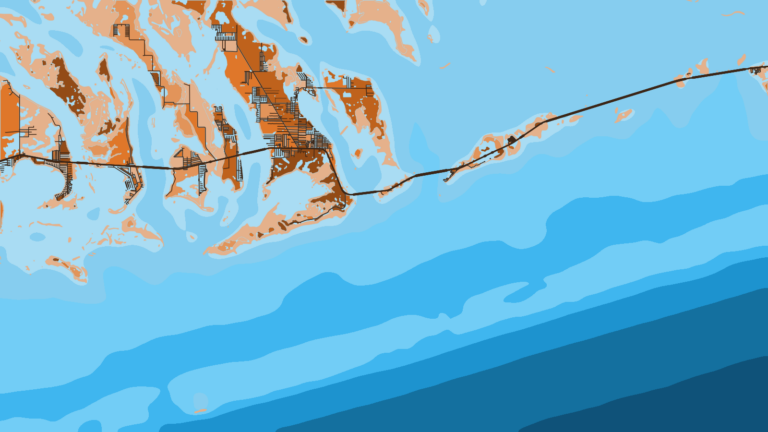
The jump from 35 ft to 2000 ft shows up clearly on the Chart Contours layer, though chart layers are not for navigation. A 30-mile run starts with the official NOAA marine forecast: read the wind, wave height and period before you leave the dock.
For the picture beyond this port, see the Atlantic Southeast yellowfin guide (see also the Atlantic Southeast region guide).
Grounds and structure
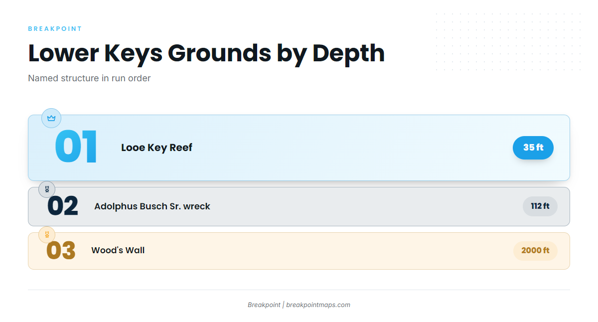
The table below lists each named ground, followed by short notes in the order you reach them.
| Ground | Depth | Where |
|---|---|---|
| Looe Key Reef | 35 ft | About 6 miles south of Big Pine Key |
| American Shoal | Southwest of Big Pine Key | |
| Adolphus Busch Sr. wreck | 112 ft | |
| Wood’s Wall | 2000 ft | About 30 miles off the Atlantic coast of Big Pine Key |
| The Humps | Offshore of Cudjoe Key | |
| Newfound Harbor Key SPA | Listed by NOAA as a Sanctuary Preservation Area |
Looe Key Reef
Looe Key Reef sits in 35 ft, about 6 miles south of Big Pine Key. It is the first named waypoint on the reef line.
American Shoal
American Shoal lies southwest of Big Pine Key. It is reef structure on the way out.
Adolphus Busch Sr. wreck
The Adolphus Busch Sr. is an artificial reef wreck in 112 ft. It marks the step between the reef line and the deep water.
Wood’s Wall
Wood’s Wall is deep structure in 2000 ft, about 30 miles off the Atlantic coast of Big Pine Key. It is the deep end of the run and shows what "further offshore" means from this port.
The Humps
The Humps lie offshore of Cudjoe Key. They are deep structure consistent with the offshore run.
Newfound Harbor Key Sanctuary Preservation Area
NOAA lists Newfound Harbor Key as a Sanctuary Preservation Area. Rules notes are under Regulations below.
How it is fished and who fishes it
Local boats troll. Lower Keys Offshore Adventures trolls on its full-day trip. Spreads, tackle and technique are covered in our tuna fishing guides.
Who fishes for them
- Southern Water Charters (Cudjoe Key): lists tuna fishing on its own site.
- Lower Keys Offshore Adventures: runs a full-day trip and trolls.
FAQ: yellowfin tuna out of the Lower Keys
How far offshore do boats run for tuna out of the Lower Keys?
Wood’s Wall, in 2000 ft, sits about 30 miles off the Atlantic coast of Big Pine Key. FishingBooker’s Big Pine guide puts tuna further offshore on the Atlantic side.
What is Wood’s Wall?
Wood’s Wall is deep structure in 2000 ft, about 30 miles off the Atlantic coast of Big Pine Key. It is the deep end of the run.
Where are The Humps?
The Humps are offshore of Cudjoe Key, deep structure on the Atlantic-side run.
How do local boats fish for tuna?
They troll, per the Lower Keys Offshore Adventures full-day trip. Southern Water Charters on Cudjoe Key also lists tuna fishing on its own site.
Do Looe Key Reef and American Shoal hold tuna?
They are named reef structure on the way out. Looe Key Reef is at 35 ft, about 6 miles south of Big Pine Key, and American Shoal is southwest of Big Pine Key. The tuna run continues to deeper water.
Where do I find the rules?
State rules sit on the Florida regulations page. Federal Atlantic tuna rules cover yellowfin, including in state waters. NOAA lists the Newfound Harbor Key Sanctuary Preservation Area. Check all of these before fishing.