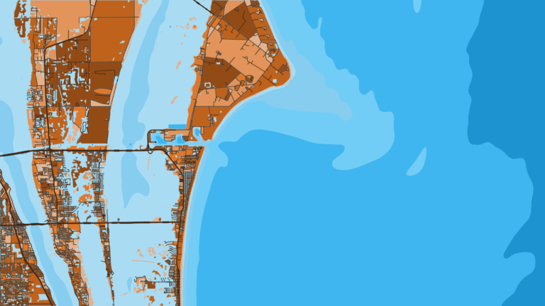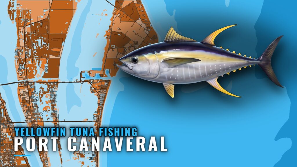
Yellowfin tuna fishing out of Port Canaveral starts with a run of 20+ miles offshore, to where the water drops past 200 ft. This page covers that run, the named marks along the way with their BV IDs, the local charter that lists yellowfin, and where the rules live. Ramps, the inlet and conditions are in our Port Canaveral port guide.
When and where yellowfin are fished off Port Canaveral
Distance is the figure to plan around from this port. Timing is covered in the broader guides.
| Question | Answer from this port |
|---|---|
| Distance offshore | 20+ miles |
| Depth target | 200+ ft |
| Day length | 8 hours |
Timing
Species timing and the regional picture, including the Gulf Stream, are covered in the yellowfin tuna guide and the Atlantic Southeast yellowfin guide (see also the wider Atlantic Southeast guide). Read those before picking a day.
The run
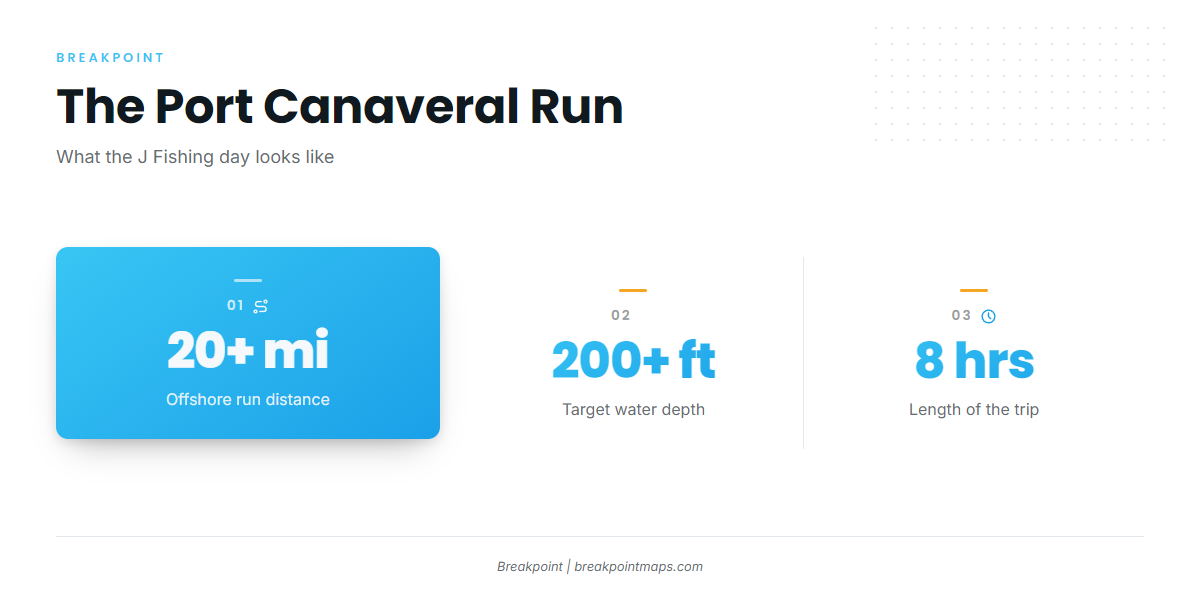
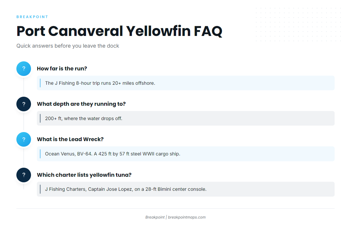
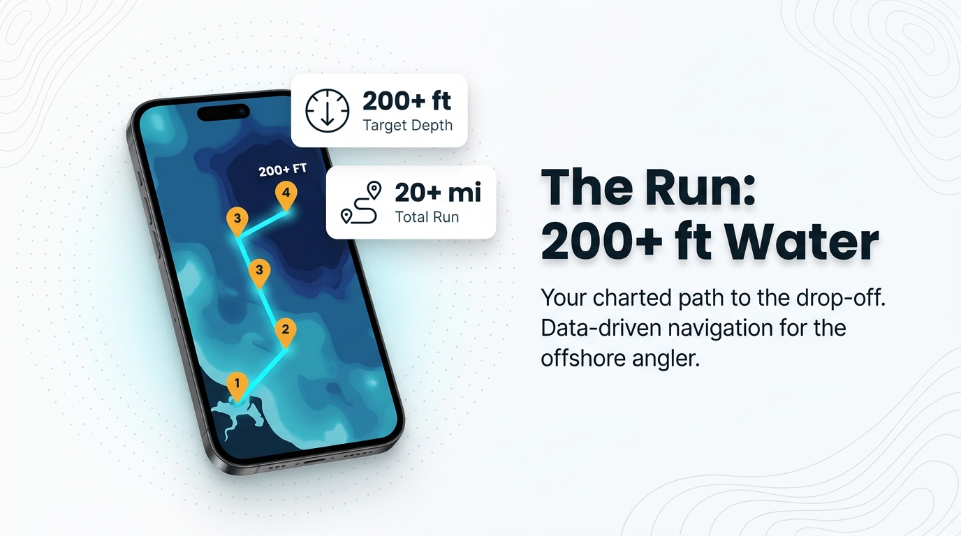
J Fishing’s 8-hour trip runs 20+ miles offshore, to where the water drops to 200+ ft. Build the day around reaching that depth.
Grounds and structure near Port Canaveral
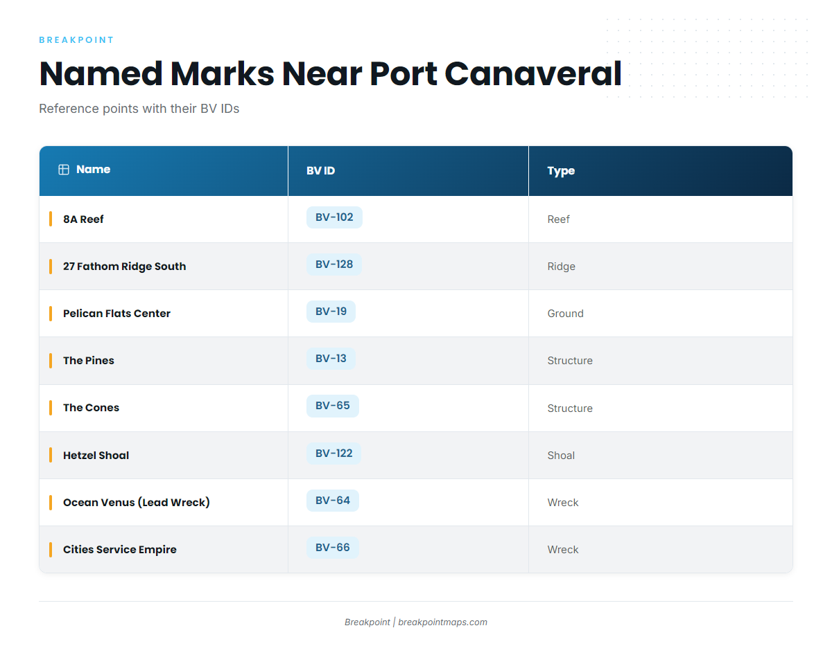
These named marks sit near the port and along the run toward 200+ ft water. Each carries its BV ID so you can find it on the map.
| Name | BV ID | Type | Note |
|---|---|---|---|
| 8A Reef | BV-102 | Reef | |
| 27 Fathom Ridge South | BV-128 | Ridge (natural reef) | Southern end of a natural reef |
| Pelican Flats Center | BV-19 | Ground | |
| The Pines | BV-13 | Structure | |
| The Cones | BV-65 | Structure | |
| Hetzel Shoal | BV-122 | Shoal | |
| Ocean Venus (Lead Wreck) | BV-64 | Wreck | 425 ft by 57 ft steel WWII cargo ship |
| Cities Service Empire | BV-66 | Wreck | 465 ft tanker, listed as breaking up |
Chart layers and marks are for planning, not for navigation.
Reefs and ridges
8A Reef (BV-102), 27 Fathom Ridge South (BV-128), Pelican Flats Center (BV-19), The Pines (BV-13) and The Cones (BV-65) are the reef and ridge marks on this list. 27 Fathom Ridge South is the southern end of a natural reef.
Shoals
Hetzel Shoal (BV-122) is the only shoal mark on the list.
Wrecks
- Ocean Venus (BV-64): Also called the Lead Wreck. A 425 ft by 57 ft steel WWII cargo ship.
- Cities Service Empire (BV-66): A 465 ft tanker listed as breaking up. Because a breaking-up wreck changes over time, what is on the bottom may not match the listing.
How yellowfin are fished from this port
Build the day around reaching 200+ ft water, 20+ miles out, and use the named marks as waypoints along the route. They are reference points, not tuna spots.
If you are taking your own center console, plan fuel and time against an 8-hour day. For trolling and chunking detail, see the tuna fishing guides.
Who fishes for yellowfin out of Port Canaveral
J Fishing Charters, run by Captain Jose Lopez, lists yellowfin tuna. The boat is a 28-ft Bimini center console, and the trip is 8 hours, running 20+ miles to 200+ ft water. If you are weighing a Port Canaveral tuna charter against your own boat, this is the local benchmark for scale.
FAQ: yellowfin tuna fishing out of Port Canaveral
How far do boats run from Port Canaveral for yellowfin?
J Fishing’s 8-hour trip runs 20+ miles offshore, which is the figure to plan the day around.
What depth are they running to?
The trip runs to where the water drops to 200+ ft. Plan your route to reach that depth.
What is the Lead Wreck?
The Lead Wreck is Ocean Venus, BV-64, a 425 ft by 57 ft steel WWII cargo ship and one of the named marks near Port Canaveral.
Which charter lists yellowfin tuna out of Port Canaveral?
J Fishing Charters, run by Captain Jose Lopez, lists yellowfin tuna. The boat is a 28-ft Bimini center console.
Where are the rules for yellowfin from this port?
FWC sets the state rules and NOAA Fisheries sets the federal Atlantic tunas rules. The Florida regulations and Atlantic tunas federal rules guides carry the detail. Check both agencies before you fish.