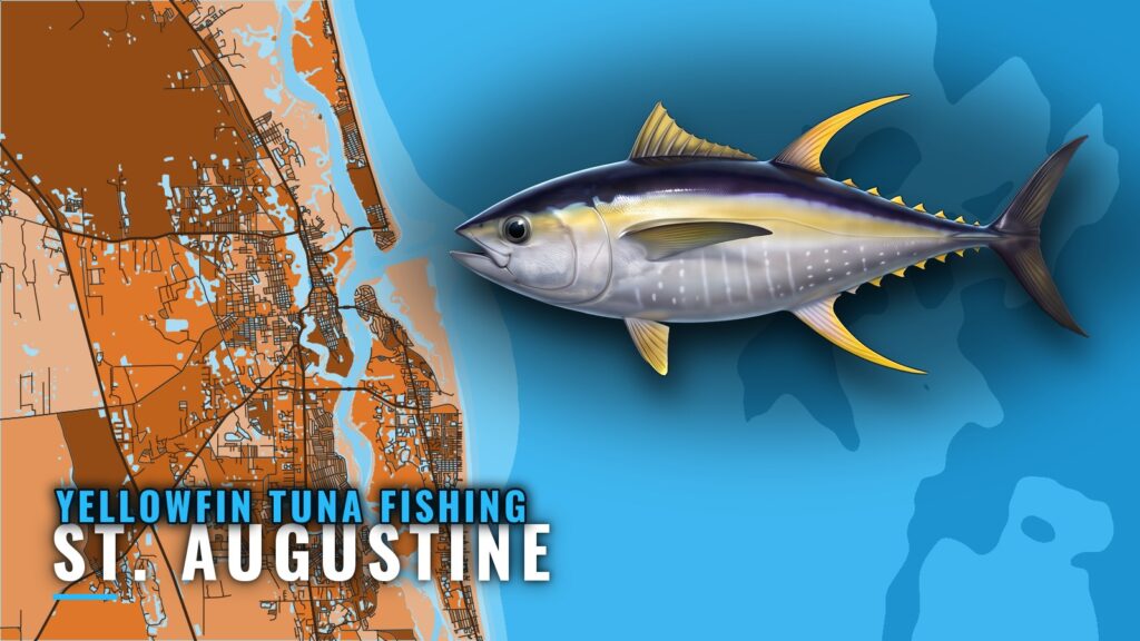
When yellowfin are around St. Augustine
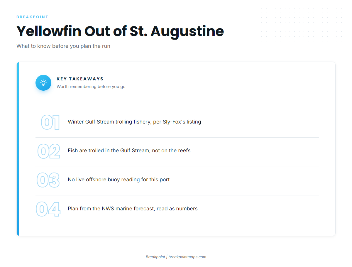
Yellowfin tuna fishing out of St. Augustine is a winter Gulf Stream trolling fishery. Sly-Fox lists yellowfin under winter Gulf Stream trolling.
Every run starts at St. Augustine Inlet. For the inlet, ramps and the general port picture, see the St. Augustine port page. For biology and general timing, see the yellowfin tuna species guide.
Conditions data for the run
NOAA NDBC station 41012 (St. Augustine) is the nearest NOAA buoy, and no active replacement exists, so there is no live offshore buoy reading for this port. Plan from the official NWS marine forecast, and read wind, wave height and period as numbers.
Where boats run
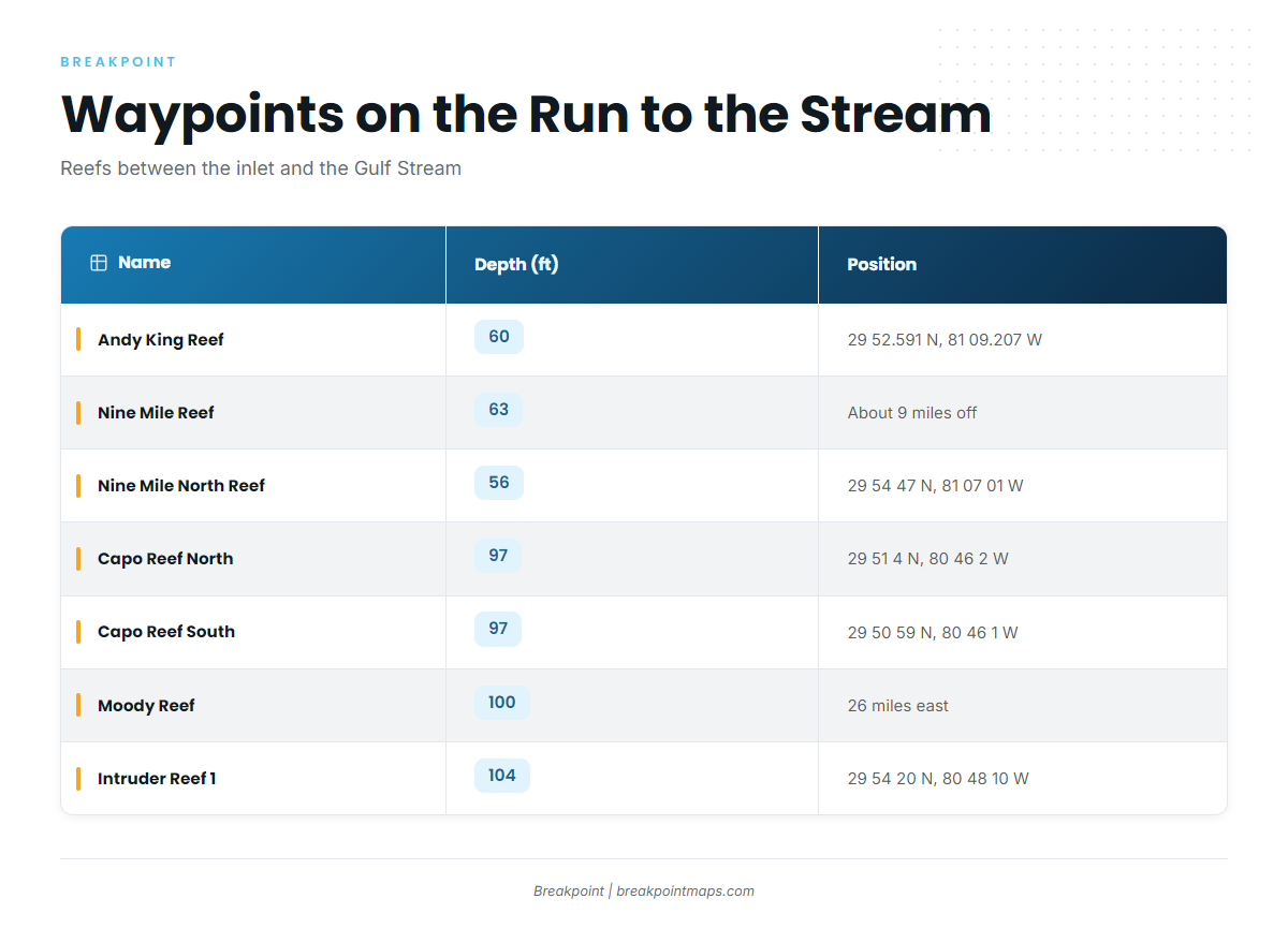
Boats run to the Gulf Stream at the offshore edge of the shelf. The reefs between the inlet and the Stream serve as waypoints on that run, but the yellowfin trolling happens in the Gulf Stream itself.
The structure falls into two depth bands: about 56 to 63 ft nearshore, and 97 to 104 ft farther out. The table runs from the beach toward the shelf edge, which gives a track line to follow.
| Name | Structure | Depth (ft) | Position or distance |
|---|---|---|---|
| Andy King Reef | Bridge of Lions permit area | 60 | 29 52.591 N, 81 09.207 W |
| Nine Mile Reef | tug Leon Roddy | 63 | About 9 miles off St. Augustine (per Long Line) |
| North Nine Mile Reef sites 1 to 7 | concrete culverts, dumpsters, rubble | 56 (56 to 80 by site) | Near 29 54 N, 81 07 W |
| Nine Mile North Reef | concrete culverts | 56 | 29 54 47 N, 81 07 01 W |
| Capo Reef North | – | 97 | 29 51 4 N, 80 46 2 W |
| Capo Reef South | – | 97 | 29 50 59 N, 80 46 1 W |
| Moody Reef | – | 100 | 26 miles east of St. Augustine |
| Intruder Reef 1 and 2 | A-6 aircraft frames | 104 | Reef 1 at 29 54 20 N, 80 48 10 W |
Nearshore structure, 56 to 63 ft
- Andy King Reef. Sits in the Bridge of Lions permit area at 60 ft, at 29 52.591 N, 81 09.207 W.
- Nine Mile Reef (tug Leon Roddy). The tug sits at 63 ft, about 9 miles off St. Augustine per Long Line.
- North Nine Mile Reef sites 1 to 7. Concrete culverts, dumpsters and rubble near 29 54 N, 81 07 W, with listed depths of 56 to 80 ft by site.
- Nine Mile North Reef. Concrete culverts at 56 ft, at 29 54 47 N, 81 07 01 W.
Outer structure, 97 to 104 ft
- Capo Reef North and South. Both sit at 97 ft. North is at 29 51 4 N, 80 46 2 W; South is at 29 50 59 N, 80 46 1 W, about 0.1 minute apart in latitude.
- Moody Reef. 100 ft, 26 miles east of St. Augustine.
- Intruder Reef 1 and 2. A-6 aircraft frames at 104 ft. Reef 1 is at 29 54 20 N, 80 48 10 W.
This band is the last listed structure before the offshore edge of the shelf.
Plotting the run
These positions plot directly against Chart Contours and OBS SST in the Breakpoint app, so you can see the bottom and the water temperature along your track. Chart layers are not for navigation.
How it is fished here
Locally, yellowfin are trolled in the Gulf Stream, which is the method the local charters list for the winter fishery. For broader trolling context across the region, see the Atlantic Southeast yellowfin guide (see also the Atlantic Southeast region guide).
- Where: the Gulf Stream, at the offshore edge of the shelf.
- Method: trolling.
- Waypoints: the reefs in the table above.
Who fishes for them
Two local charters list yellowfin tuna: Endless Summer Charters and Sly-Fox. A charter trip is one way to see the grounds and the method before running your own boat.
- Sly-Fox. Departs from the Conch House, with Captain Red Beard and crew. Its Sly-Fox charter fishing page is hosted on godscountryoutfitters.net and is the source for the winter Gulf Stream trolling listing.
- Endless Summer Charters. Lists yellowfin tuna.
FAQ about yellowfin tuna fishing out of St. Augustine
When is yellowfin season out of St. Augustine?
Winter. Sly-Fox lists yellowfin under winter Gulf Stream trolling.
How far out are the reefs?
Nine Mile Reef sits about 9 miles off, per Long Line. Moody Reef sits 26 miles east of St. Augustine. The outer band runs 97 to 104 ft.
Where do boats troll for yellowfin?
In the Gulf Stream at the offshore edge of the shelf. The reefs are waypoints on the run.
Which charters list yellowfin?
Endless Summer Charters, and Sly-Fox from the Conch House with Captain Red Beard and crew.
Where do I get offshore conditions without a live buoy?
NOAA NDBC station 41012 (St. Augustine) has no active replacement. Use the official NWS marine forecast, and read wind, wave height and period as numbers.
Where are other tuna guides?
The tuna fishing guides index lists them.