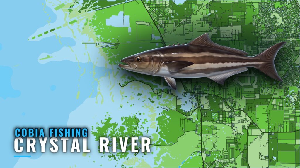
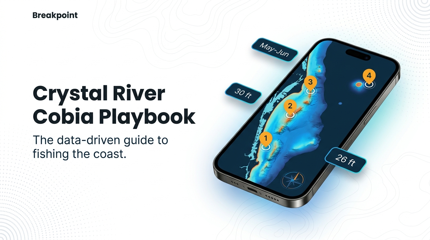
Cobia fishing out of Crystal River centers on May and June. Structure runs from nearshore reefs at 26 to 30 ft out to Middle Grounds on offshore trips. Two local charters list cobia, and the grounds below come with depths and coordinates you can load into a plotter.
When cobia are around Crystal River
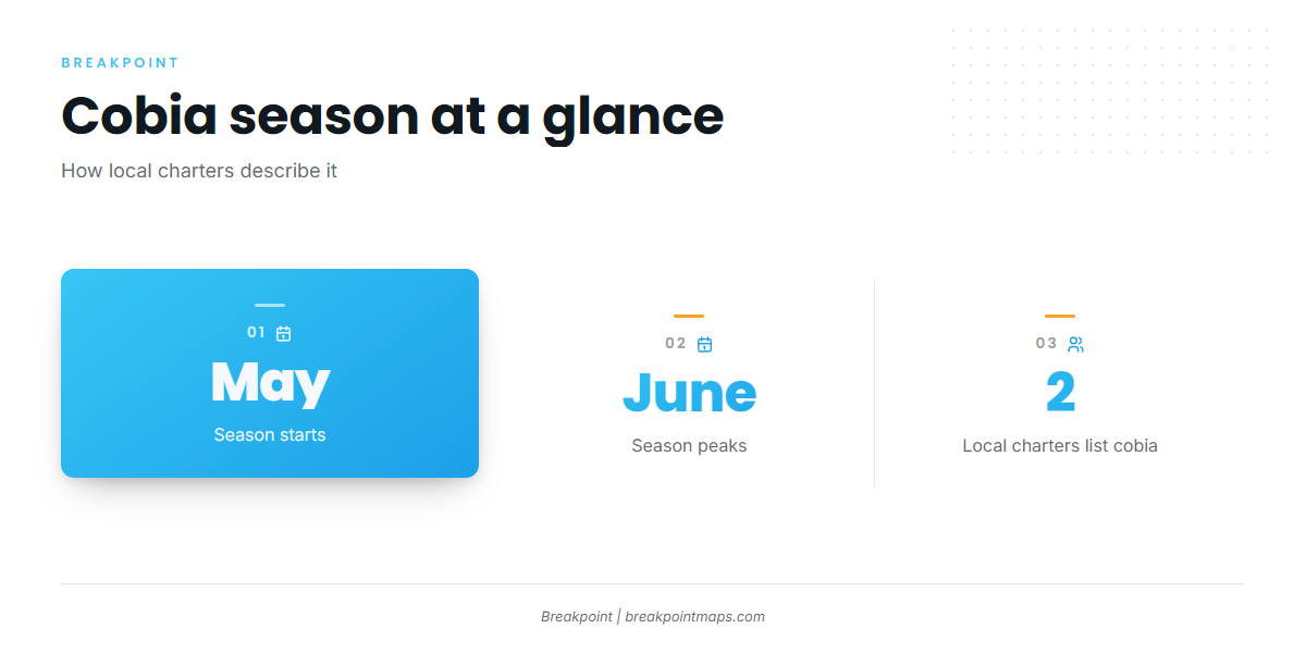
Local charters describe the season as "Perfect during May and June," so plan trip dates around those two months.
For migration timing and biology, see our cobia fishing guide. This page covers the port only.
| Window | Local description |
|---|---|
| May | "Perfect during May and June" |
| June | "Perfect during May and June" |
Where boats run from Crystal River
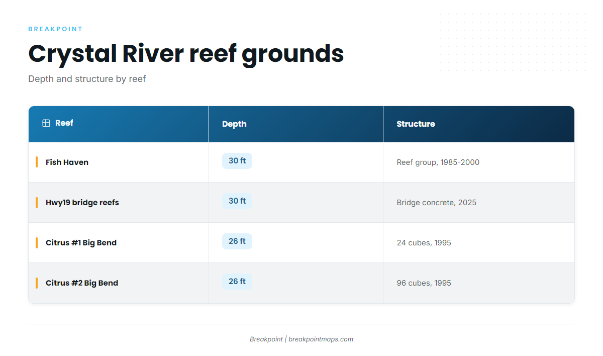
Boats fish two tiers from this port: inshore and nearshore structure, and offshore trips. The nearshore options are mapped reefs with published depths and FWC coordinates. The offshore option is Middle Grounds.
| Reef | Depth | Structure | Coordinates (FWC layer) |
|---|---|---|---|
| Fish Haven (Fish Haven #1 area) | 30 ft | Citrus County artificial reef group, 1985–2000 deployments | 28.786–28.791 N, 83.054–83.061 W |
| Hwy19 bridge-material reefs (Hwy19BCB-1, -2, -3) | 30 ft | Bridge concrete, 615–698 tons, deployed October and November 2025 | |
| Citrus #1 Big Bend Reefs | 26 ft | 24 prefabricated cubes, 1995 | 28.9166 N, 82.8715 W |
| Citrus #2 Big Bend Reefs | 26 ft | 96 prefabricated cubes, 1995 | 28.9130 N, 82.8828 W |
Chart layers are not for navigation.
Inshore and nearshore structure
Local trips work inshore and nearshore structure. The reef groups below are the mapped nearshore options.
Fish Haven
Fish Haven is a Citrus County Fish Haven reefs group in the Fish Haven #1 area, built from deployments between 1985 and 2000, in 30 ft. The FWC layer places it at 28.786–28.791 N, 83.054–83.061 W.
Hwy19 bridge reefs
Hwy19BCB-1, -2 and -3 are 615–698 tons of bridge concrete in 30 ft, deployed in October and November 2025. Pull their positions from the FWC reef layer.
Citrus #1 and #2 Big Bend Reefs
Both were deployed in 1995 in 26 ft. Citrus #1 holds 24 prefabricated cubes at 28.9166 N, 82.8715 W. Citrus #2 holds 96 cubes at 28.9130 N, 82.8828 W.
Middle Grounds
Middle Grounds is the Gulf bank named on local offshore trip menus, and it is the longest run from the port. For the wider Gulf picture (see also the wider Gulf of Mexico guide), see our regional piece.
How cobia are fished here and who runs them
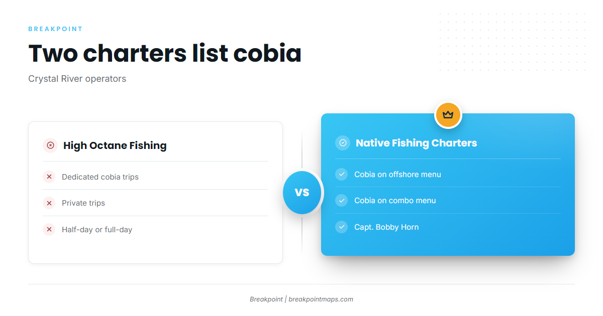
Two local operators list cobia: one with dedicated trips, and one with cobia on its offshore and combo menus. If you are weighing a Crystal River cobia charter against running your own boat, these are the two listings.
High Octane Fishing
High Octane Fishing out of Crystal River offers dedicated private cobia trips in half-day or full-day formats.
Native Fishing Charters
Cobia is on Native’s offshore and combo menus. The operation is run by Capt. Bobby Horn with first mate Alyssa. See the Native Fishing Charters listing for details. For more on offshore gamefish beyond cobia, start there.
Reading conditions before the run
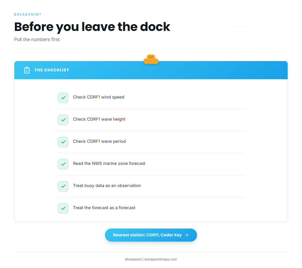
Check wind speed, wave height and wave period before you leave the dock. The NWS marine zone forecast for GMZ850 is the official source. A station reading is an observation, and a forecast is a prediction, so use both.
CDRF1 at Cedar Key
CDRF1 is the NOAA NDBC C-MAN station at Cedar Key, at 29.136 N 83.029 W, and the nearest station to Crystal River. Compare its readings against the forecast, and treat them as a point observation that may not match every ground you plan to fish:
- Wind speed
- Wave height
- Wave period
FAQ: cobia fishing out of Crystal River
What are the best months for cobia out of Crystal River?
May and June. Local charters describe the season as "Perfect during May and June," so build trip dates around those two months.
What is the nearest buoy for conditions?
NDBC C-MAN station CDRF1 at Cedar Key, 29.136 N 83.029 W. It reports wind speed, wave height and wave period. Use it alongside the NWS marine forecast for the zone, since an observation is not a forecast.
How deep are the reefs off Crystal River?
Fish Haven and the Hwy19 bridge reefs sit in 30 ft. Citrus #1 and Citrus #2 Big Bend Reefs sit in 26 ft. Middle Grounds is the offshore bank named on trip menus.
Which Crystal River charters target cobia?
High Octane Fishing runs dedicated private cobia trips, half-day or full-day. Native Fishing Charters lists cobia on its offshore and combo menus, run by Capt. Bobby Horn and first mate Alyssa.
Are the Hwy19 bridge reefs on the FWC layer?
Yes. Hwy19BCB-1, -2 and -3 were deployed in October and November 2025 in 30 ft. Pull their positions from the FWC reef layer. Chart layers are not for navigation.