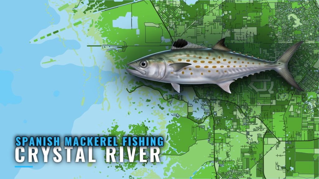
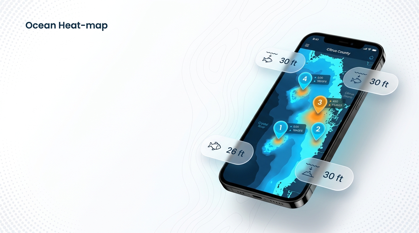
Spanish mackerel fishing out of Crystal River centers on the Citrus County artificial reefs. Crystal River boats run to the Citrus #1 and Citrus #2 Big Bend Reefs, Fish Haven, and the Hwy19 bridge-material reefs. The long-range option is the Middle Grounds, a Gulf of Mexico bank named on local trip menus. Below are the depth, build year, material and FWC-layer coordinates for each reef, the station to check before you leave, and the charters that list the species.
When Spanish Mackerel Are Off Crystal River
No Crystal River-specific season is documented here, so timing follows the species’ pattern along the Gulf coast. For the full seasonal picture, start with the Spanish mackerel fishing guide, then read Spanish mackerel in the Gulf of Mexico (see also the Gulf of Mexico region guide) for how the fish move across the basin.
Reading conditions
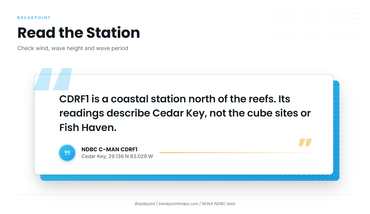
The nearest NOAA station is NDBC C-MAN station CDRF1 at Cedar Key, 29.136 N 83.029 W. It is a coastal station north of the reefs rather than a buoy on the grounds, so its readings describe Cedar Key, not the cube sites or Fish Haven.
Check three readings before you leave:
- Wind speed and direction at the station
- Wave height in feet
- Wave period in seconds
Compare those numbers with the official NWS marine forecast for the coastal zone.
Where Crystal River Boats Run
Native Fishing Charters and High Octane Fishing both list Spanish mackerel on their species menus, though neither names specific grounds. The structure below comes from the FWC artificial reef layer, and it is what you can plot and run to.
The Citrus #1 and #2 pre-fabricated concrete cubes lie at about 28.91 N, 82.87 to 82.88 W. Fish Haven lies southwest of them, at about 28.79 N, 83.05 to 83.06 W. CDRF1 sits north of both, at Cedar Key. The Middle Grounds is the long-range end of the run in the Gulf of Mexico.
Nearshore Big Bend cubes
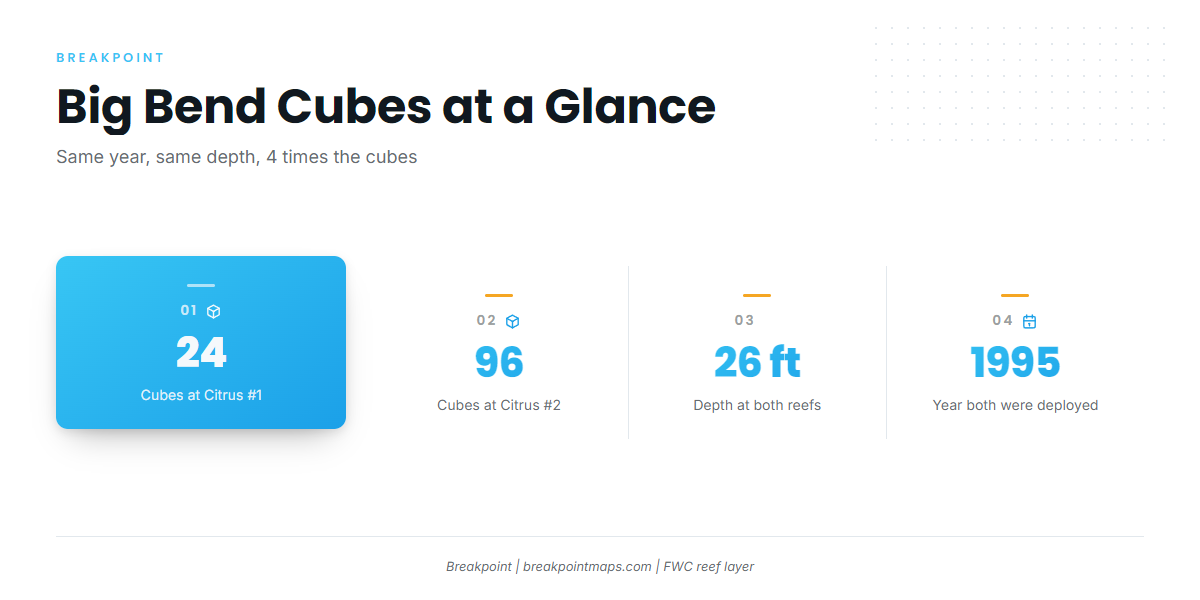
Citrus #1 Big Bend Reefs holds 24 pre-fabricated cubes, deployed in 1995, at 26 ft. Position: 28.9166 N, 82.8715 W (FWC layer).
Citrus #2 Big Bend Reefs holds 96 pre-fabricated cubes, also deployed in 1995, at 26 ft. Position: 28.9130 N, 82.8828 W (FWC layer). It matches Citrus #1 in year and depth and has four times the cubes.
Fish Haven and the Hwy19 reefs
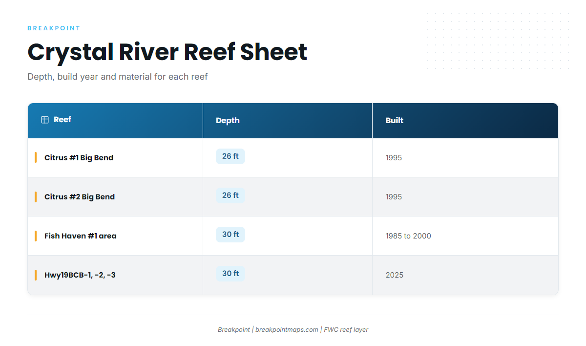
Fish Haven is a Citrus County artificial reef group in the Fish Haven #1 area, with deployments from 1985 to 2000. Depth is 30 ft. Coordinates: 28.786 to 28.791 N, 83.054 to 83.061 W (FWC layer).
The Hwy19 bridge-material reefs are Hwy19BCB-1, -2 and -3, deployed in October and November 2025. They hold 615 to 698 tons of concrete at 30 ft, 4 ft deeper than the cubes.
The Middle Grounds
The Middle Grounds is a Gulf bank named on local trip menus and marks the long-range end of the run. A run that far can take you past state waters, so read the regulations section below before going.
Reef table
| Name | Depth | Built | Material | Coordinates (FWC layer) |
|---|---|---|---|---|
| Citrus #1 Big Bend Reefs | 26 ft | 1995 | 24 pre-fabricated cubes | 28.9166 N, 82.8715 W |
| Citrus #2 Big Bend Reefs | 26 ft | 1995 | 96 pre-fabricated cubes | 28.9130 N, 82.8828 W |
| Fish Haven (Fish Haven #1 area) | 30 ft | 1985 to 2000 | Citrus County reef group | 28.786 to 28.791 N, 83.054 to 83.061 W |
| Hwy19BCB-1, -2, -3 | 30 ft | 2025 | 615 to 698 tons concrete | Plot from the FWC layer |
Swipe the table sideways to see every column.
Plot these coordinates against Chart Contours to see the bottom around each site. The coordinates come from FWC’s layer and are not survey-grade navigation fixes, and chart layers are not for navigation.
How Spanish Mackerel Are Fished Here
No local method detail is documented, and the charters list only the species. For methods that carry across coastal pelagics, see our coastal and offshore gamefish methods.
Who Fishes for Spanish Mackerel Out of Crystal River
Two local operations list Spanish mackerel on their species menus.
Native Fishing Charters
Capt. Bobby Horn and first mate Alyssa run Native Fishing Charters. The operation has no website of its own; its listing is at Native Fishing Charters on FishingBooker.
High Octane Fishing
High Octane Fishing lists Spanish mackerel on its species menu. Details are on High Octane Fishing’s site.
FAQ: Spanish Mackerel Fishing Out of Crystal River
Which reefs are closest to shore?
Citrus #1 and #2 Big Bend Reefs. Both sit at 26 ft and were deployed in 1995, with 24 and 96 pre-fabricated cubes. Citrus #1 is at 28.9166 N, 82.8715 W and Citrus #2 at 28.9130 N, 82.8828 W (FWC layer). They lie northeast of Fish Haven.
What is the newest artificial reef off Crystal River?
The Hwy19 bridge-material reefs, Hwy19BCB-1, -2 and -3, deployed in October and November 2025. They hold 615 to 698 tons of concrete at 30 ft. Their coordinates are on the FWC artificial reef layer.
How deep is Fish Haven?
Fish Haven is 30 ft. It is the Fish Haven #1 area, with deployments from 1985 to 2000, at 28.786 to 28.791 N, 83.054 to 83.061 W (FWC layer). Treat the coordinates as a planning reference.
Which NOAA station should I check before running out?
CDRF1, the NDBC C-MAN station at Cedar Key, 29.136 N 83.029 W. It is coastal and north of the reefs. Read wind, wave height and wave period, then compare them with the NWS marine forecast.
Which Crystal River charters list Spanish mackerel?
Native Fishing Charters, with Capt. Bobby Horn and first mate Alyssa, and High Octane Fishing. Both list Spanish mackerel on their species menus.